Mount Negrova
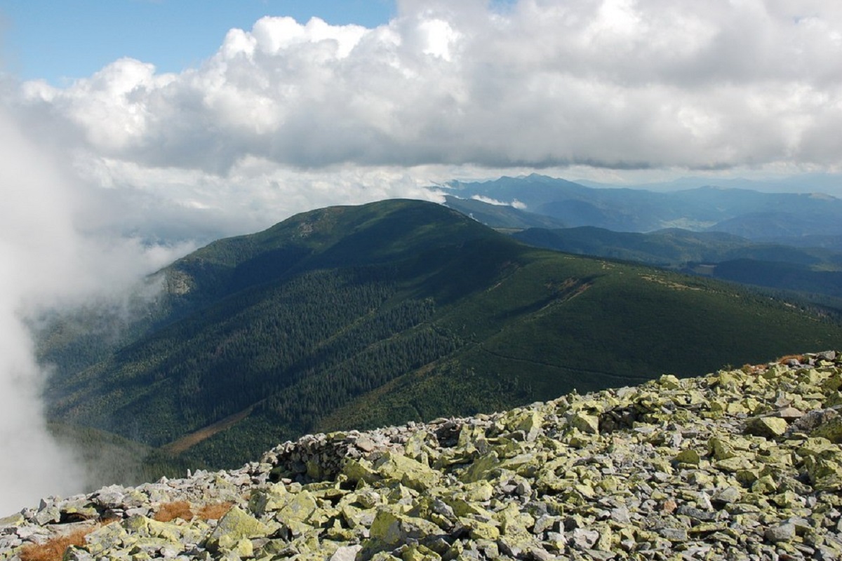
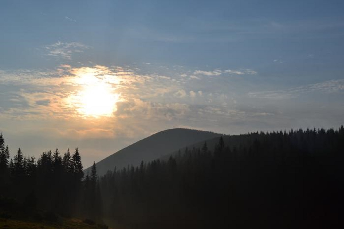
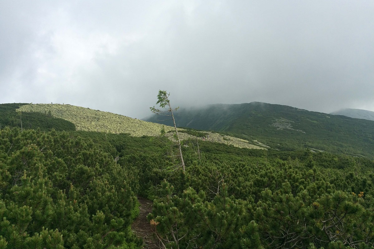
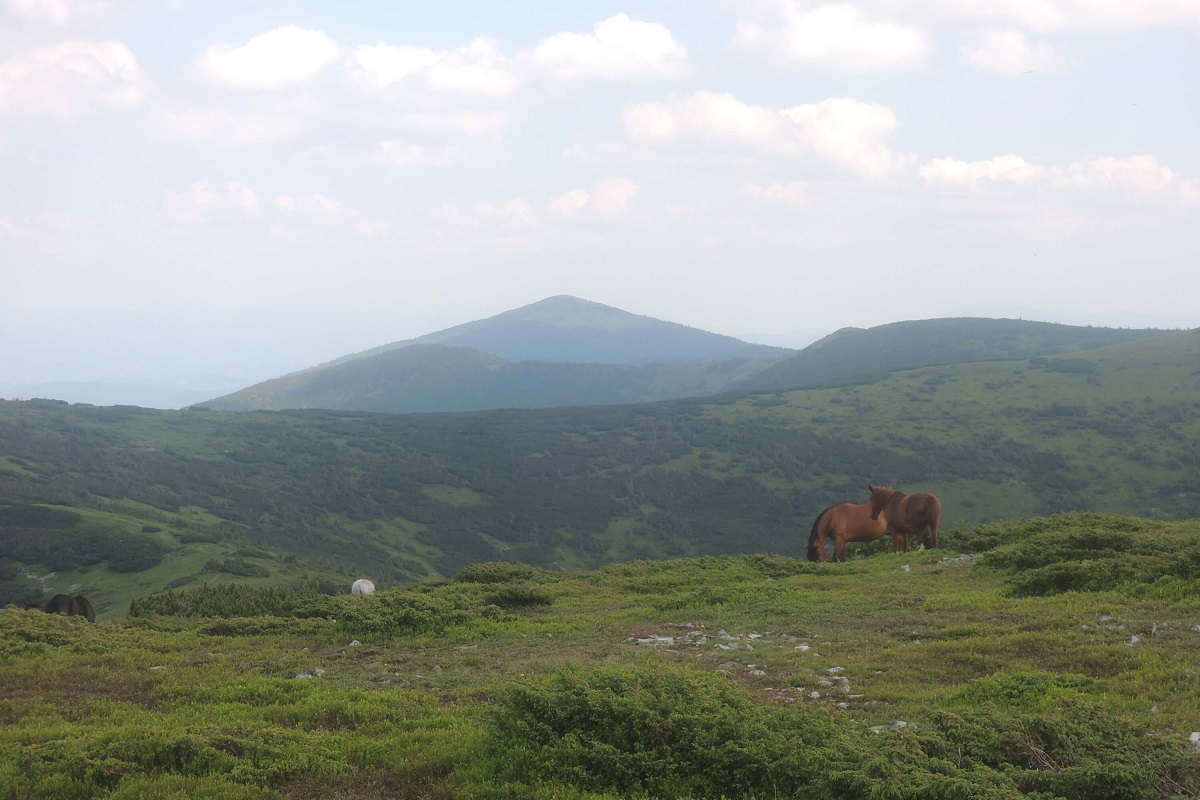
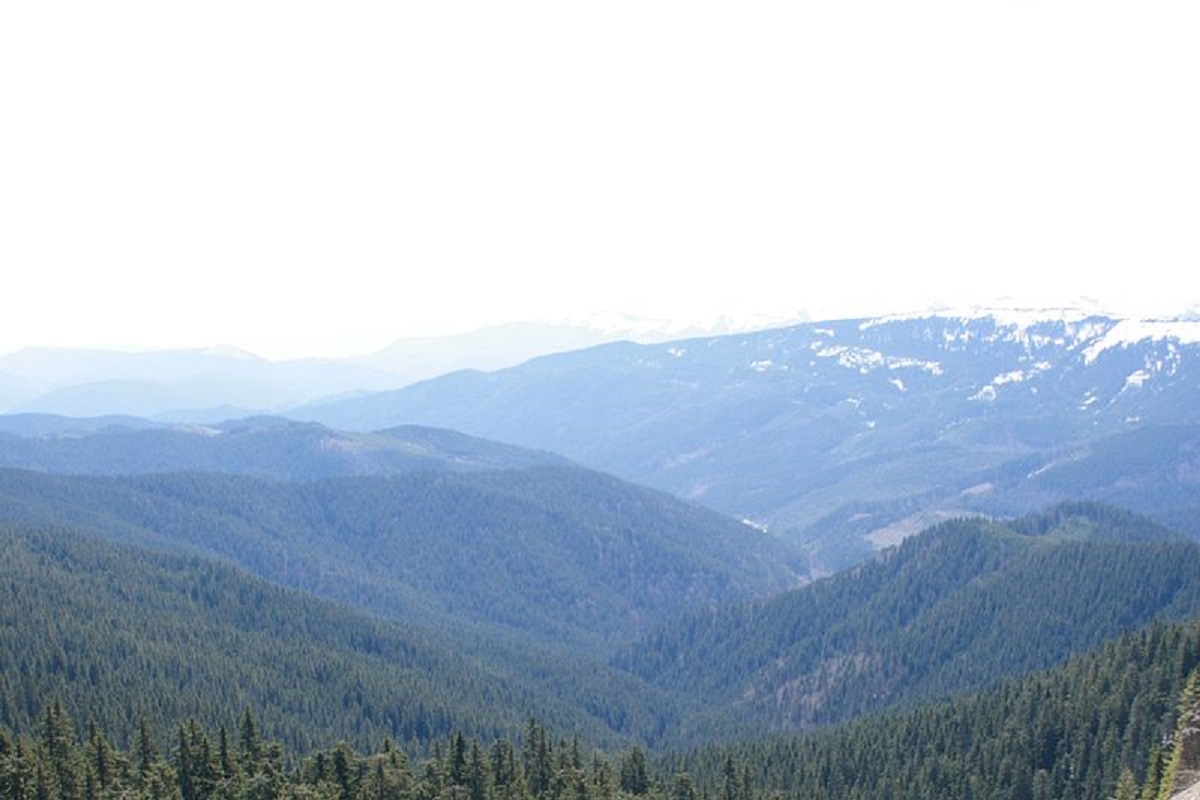
Negrova is a peak in the central part of the Gorgan mountain range(Ukrainian Carpathians).
The height of Negrova is 1604 meters (according to other information - 1602 m).
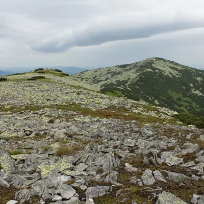
The peak has a massive, elongated shape. It stretches from east to west: in the eastern part, it is connected by a bridge to Mount Korotkan (Boyarin).
The slopes of the mountain are very steep in the northern direction, dissected by numerous tributaries of the Bystrytsia Solotvynska River, and gentler in the southern direction.
Up to an altitude of 1300-1350 meters above sea level, the slopes of Negrova are covered with centuries-old coniferous and mixed forests, and above that with alpine pine thickets and rock scatters and placers.
To the north-west of the peak is the Syvulia ridge with its highest peaks - Velyka Syvulia and Mala Syvulia, to the west - the Peklo cliff, to the south (beyond the Salatruk river valley) - the Tavpyshyrka mountain. Tavpyshyrka.
On the southern slope of the peak there is a landscape reserve of the same name of local importance.
The nearest settlement is the village of Stara Huta (Bohorodchany district , Ivano-Frankivsk region).
Location on the map
Comments
Places to stay nearby
 Homestead"U Davidka i Matviika"11 km from Mount NegrovaFireplaceKitchenParkingNearby: Mt Petros Gorgansky 4.6 kmMt Studenets 3.8 km2 trails
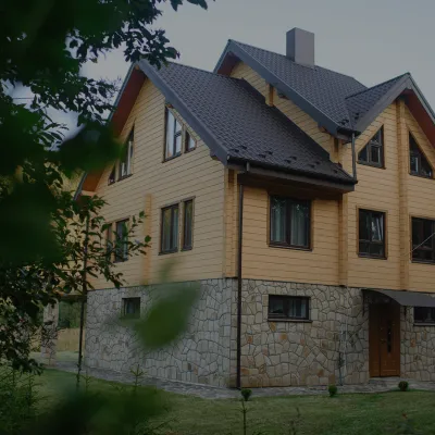 HomesteadHomestead "Albertville" Osmoloda11 km from Mount NegrovaFireplaceKitchenParkingNearby: Mt Petros Gorgansky 4.8 kmMt Studenets 4.0 km2 trails
 HomesteadHomestead "Faini Karpaty" Osmoloda11 km from Mount NegrovaSaunaBBQKitchenNearby: Mt Petros Gorgansky 4.6 kmMt Studenets 3.8 km2 trails
Trails via Mount Negrova
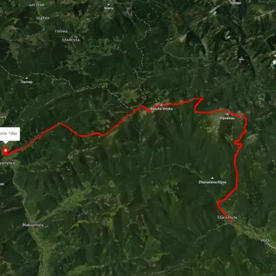 HardMulti-dayUnmarkedStara Huta village to Bystrytsia villagevia Mount Vysoka, Mount Ihrovets +1Elevation profile656–1 795 m39.9 kmascent 2 102 m
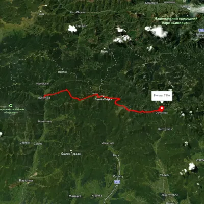 HardMulti-dayUnmarkedBystrytsia village to Osmoloda villagevia Mount Boiaryn, Mount Syvulia +2Elevation profile387–929 m41.5 kmascent 1 060 m≈ 12.5 h walking
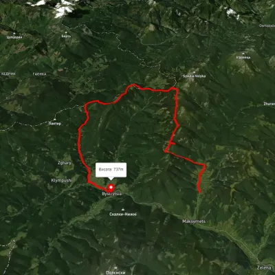 HardMulti-dayUnmarkedMaksymets village to Bystrytsia villagevia Mount Hechura, Perenyz Pass +1Elevation profile732–1 457 m34.4 kmascent 1 612 m≈ 12 h walking
Nearby attractions
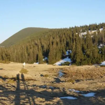 Mountain meadowPolonyna Ruschynaaltitude 1 409 m1.6 km from Mount NegrovaRuschyna meadow is famous for its panoramic views of the mountains that surround it from all sides and the diversity of flora and fauna.
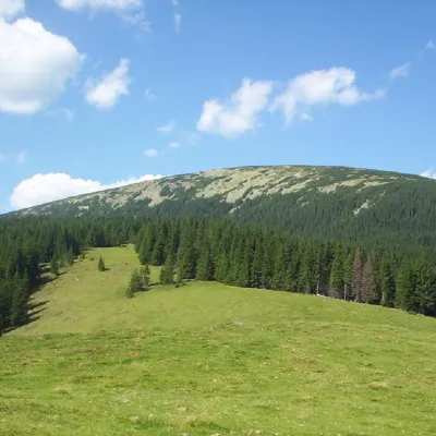 PeakMount Boyarin (Korotkan)altitude 1 675 m · Gorgany range1.9 km from Mount Negrova11 trails to the topBoyarin (there is another name - Korotkan) is a massive oval-shaped mountain in the central part of the Gorgan mountain range of the Ukrainian Carpathians.
 PeakMount Mala Sivulyaaltitude 1 815 m · Gorgany range2.2 km from Mount Negrova25 trails to the topMount Mala Syvulya, 1815 meters high, is located next to the Velyka Syvulya on the Syvulyansky ridge. It is the second highest mountain in the Gorgan mountain range.