Môlča
Môlča is a village in Slovakia.
Elevation: about 453 m above sea level. Population: 432 (2025).
Here and nearby on the site: 1 trail.
Facts: Wikidata, OpenStreetMap. More on Wikipedia
Comments
Travellers’ experience: reports, tips, questions.
No one has written here yet. Be the first — your experience helps others.
What's nearby
Trails nearby
All trails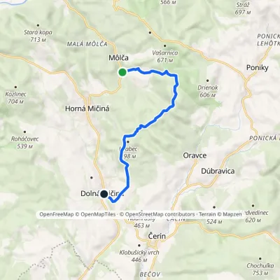 EasyOne-dayMarkedDolná Mičiná PoníkyElevation profile387–659 m8.5 kmascent 234 m≈ 2.5 h walkingunder 1 km from the centre
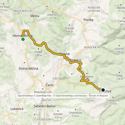 ModerateOne-dayMarkedHrochoť Horná MičináElevation profile421–642 m12.8 kmascent 432 m≈ 4 h walking1.3 km from the centre
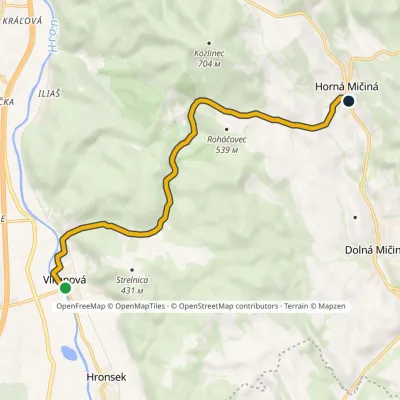 EasyOne-dayMarkedVlkanová Horná MičináElevation profile318–509 m8.6 kmascent 201 m≈ 2.5 h walking2.1 km from the centre
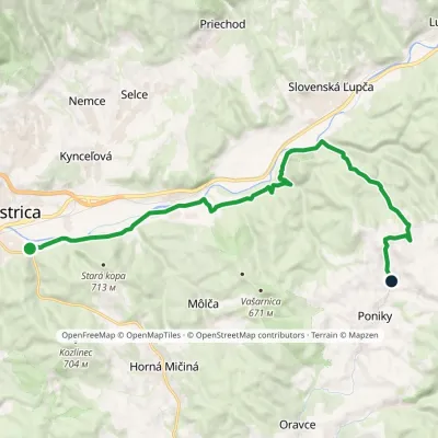 ModerateOne-dayMarkedBanská Bystrica, Podryba Ponická LehôtkaElevation profile350–663 m16.4 kmascent 428 m≈ 5 h walking2.7 km from the centre
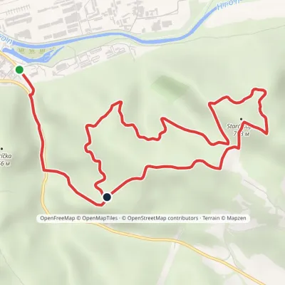 EasyOne-dayMarkedBanská Bystrica, Podryba Stará kopa (loop)Elevation profile353–713 m7.9 kmascent 402 m≈ 2.5 h walking2.7 km from the centre
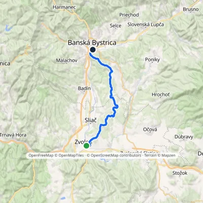 HardOne-dayMarkedZvolen Banská BystricaElevation profile294–704 m27 kmascent 653 m≈ 8 h walking3.1 km from the centre
Peaks nearby
All peaks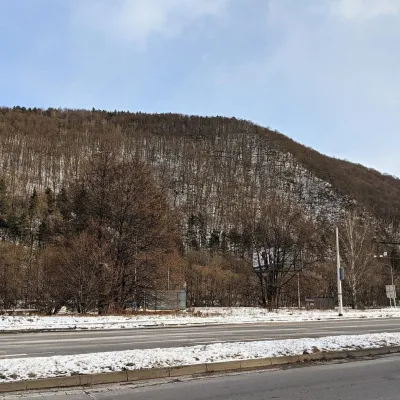 PeakUrpínBanská Bystricaaltitude 510 m6.5 km from the centre3 trails to the topUrpín is a low but very prominent 510 m hill in central Slovakia, rising directly above the historic centre of Banská Bystrica on the left bank of the Hron river.
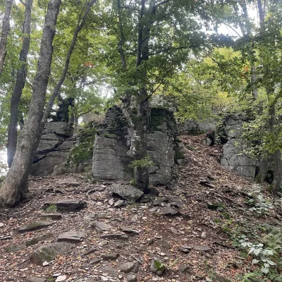 PeakVelestúrKremnicaaltitude 1 254 m17 km from the centreVelestúr is a 1254 m summit on the main ridge of the Kremnica Mountains (Kremnické vrchy) in Slovakia.
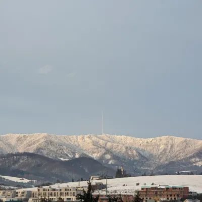 PeakSkalka (Kremnica Mountains)Kremnicaaltitude 1 232 m17 km from the centreSkalka (formerly Suchá hora) is a 1232 m peak on the main ridge of the Kremnica Mountains (Kremnické vrchy) in central Slovakia.
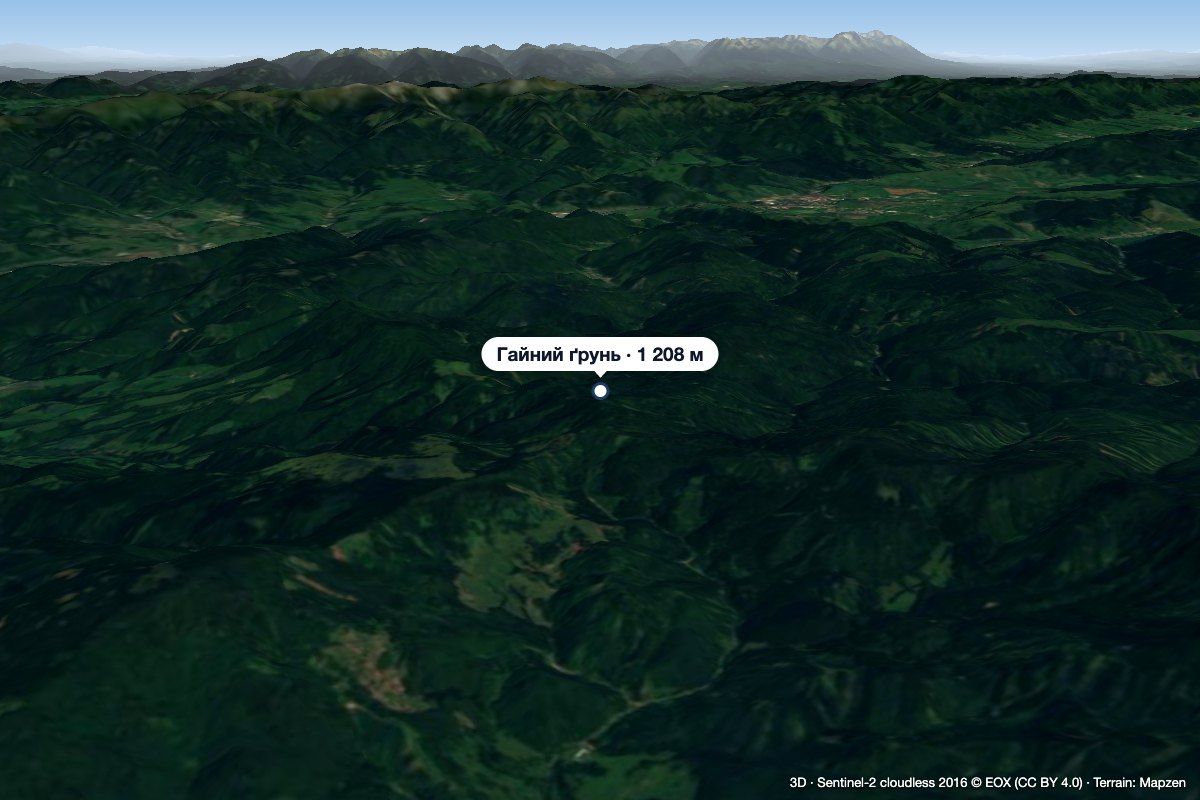 PeakHájny grúňĽubietováaltitude 1 208 m18 km from the centreHájny grúň is a forested 1208 m summit in the northern part of the Poľana mountains in Central Slovakia.
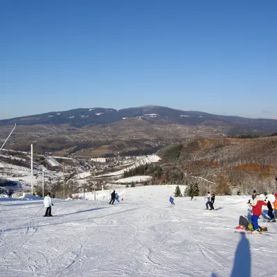 PeakPoľanaHriňováaltitude 1 458 m21 km from the centrePoľana is a 1457.8 m summit, the highest point of the mountain massif of the same name in central Slovakia.
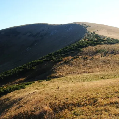 PeakFrčkovTureckáaltitude 1 585 m23 km from the centre1 trail to the topFrčkov is a 1585 m summit in the central part of the Greater Fatra (Veľká Fatra) in Slovakia, the second highest in the range after Ostredok.
What to visit
All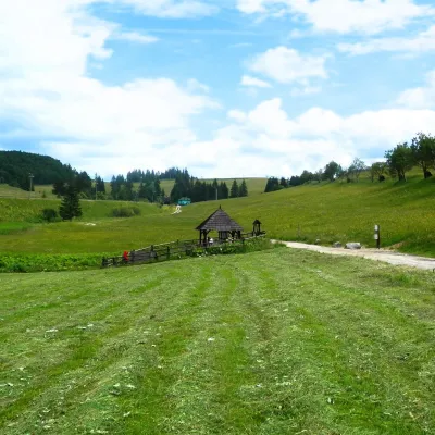 RiverHron RiverBanská Bystrica6.3 km from the centreThe Hron is a left-bank tributary of the Danube and, after the Váh, the second-longest river flowing only through Slovakia.
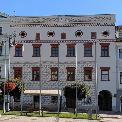 MuseumThurzo House — Central Slovak Museum, Banská BystricaBanská Bystrica6.5 km from the centreThe Thurzo House (Thurzov dom) is one of the finest buildings on the main SNP Square in Banská Bystrica, with Renaissance sgraffito on its façade and an ornate attic...
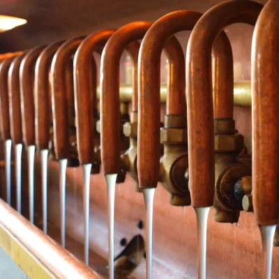 Craft beer & breweriesUrpiner brewery in Banská Bystrica: tour and beer from the tankBanská Bystrica7.4 km from the centreBanská Bystrica is the centre of Central Slovakia and grew rich on copper mining in the 14th–16th centuries.
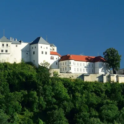 CastleĽupča CastleSlovenská Ľupča7.5 km from the centreĽupča Castle (Ľupčiansky hrad, Hrad Ľupča) rises above the village of Slovenská Ľupča in the Hron valley, about 10 km east of Banská Bystrica.
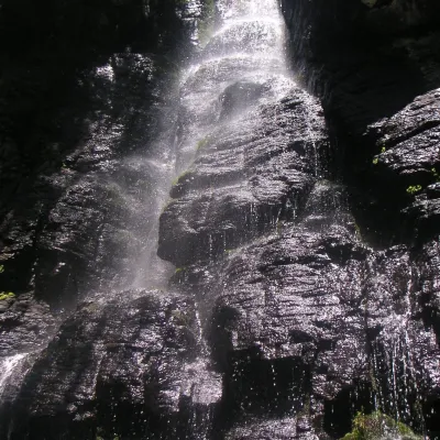 WaterfallBystrô waterfall on the Poľana volcanoHriňová · Slovak Central Mountains21 km from the centreheight 20–23 m983 m above sea levelThe Bystrý potok waterfall (Vodopád Bystrého potoka), known locally simply as Bystrô or Bystré, is one of the best-known waterfalls in central Slovakia.
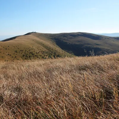 Mountain meadowKrížna and the hole meadows of Veľká FatraTureckáaltitude 1 574 m21 km from the centreKrížna (1,574 m) is a broad grassy massif in the central part of Veľká Fatra in Slovakia, the third-highest summit of these mountains after Ostredok and Frčkov.
Craft nearby
All craft places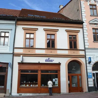 Craft shopsÚĽUV Banská Bystrica: folk-craft shop and craft schoolBanská Bystrica6.6 km from the centreÚĽUV (Ústredie ľudovej umeleckej výroby, the Centre for Folk Art Production) is a state institution that has looked after Slovak folk crafts since 1945: it keeps a...
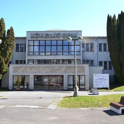 Water parks & thermal poolsSliač spa: warm carbonated water and a thermal swimming areaSliač13 km from the centreSliač is a spa in the Zvolen Basin above the Hron valley, between Zvolen and Banská Bystrica. The spa quarter with its 46-hectare park lies on a slope above the former...
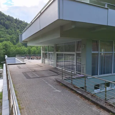 Water parks & thermal poolsBrusno Spa: mineral springs, treatments and Caracalla SpaBrusno15 km from the centreBrusno Spa (Kúpele Brusno) lies in the Hron valley (Horehronie), about 20 km north-east of Banská Bystrica, on the northern slopes of the Vepor massif in the Slovak...
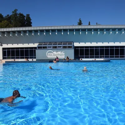 Water parks & thermal poolsKováčová: thermal spa and Holidaypark aquapark near ZvolenKováčová15 km from the centreKováčová is a spa village on the south-western edge of the Zvolen Basin, 4 km west of Zvolen at the foot of the Kremnica Mountains; the village centre lies at 303 m.
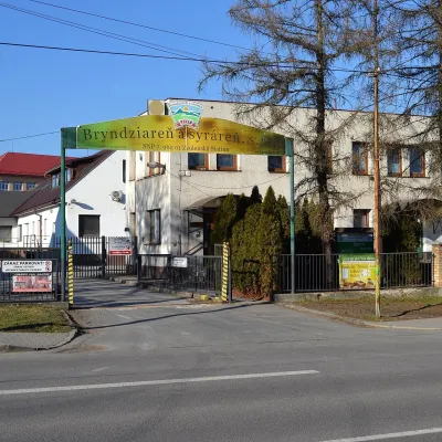 Cheese dairies & pasturesZvolenská Slatina bryndza dairy: the oldest, since 1797Zvolenská Slatina17 km from the centreBryndza with more than 220 years behind it Zvolenská Slatina is a large village in the Podpoľanie region, a few kilometres from Zvolen, at the foot of the volcanic...
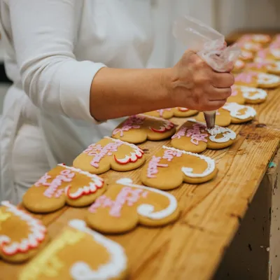 Craft producersKremnica gingerbread: the Haurík family bakery since 1922Kremnica23 km from the centreKremnica is an old mining town in the Kremnica Mountains where coins have been struck for more than six centuries.
Spas and thermal pools nearby
Water parks & thermal poolsSliač spa: warm carbonated water and a thermal swimming areaSliač13 km from the centreSliač is a spa in the Zvolen Basin above the Hron valley, between Zvolen and Banská Bystrica. The spa quarter with its 46-hectare park lies on a slope above the former...Water parks & thermal poolsBrusno Spa: mineral springs, treatments and Caracalla SpaBrusno15 km from the centreBrusno Spa (Kúpele Brusno) lies in the Hron valley (Horehronie), about 20 km north-east of Banská Bystrica, on the northern slopes of the Vepor massif in the Slovak...Water parks & thermal poolsKováčová: thermal spa and Holidaypark aquapark near ZvolenKováčová15 km from the centreKováčová is a spa village on the south-western edge of the Zvolen Basin, 4 km west of Zvolen at the foot of the Kremnica Mountains; the village centre lies at 303 m.Huts, shelters and springs nearby
Getting there from Ukraine
Border crossings
- Uzhhorod – Vyšné Nemecké — road, 24/7
- Malyi Bereznyi – Ubľa — road, 24/7 For cars and buses; pedestrians not confirmed by the Ukrainian border service, lorries up to 3.5 t.
- Mali Selmentsi – Veľké Slemence (pedestrian) — pedestrian, 09:00–21:00 Kyiv time Pedestrians and cyclists only; inconvenient for the Tatras without onward transport.
- Chop – Čierna nad Tisou (rail) — rail, 24/7
By car
From Uzhhorod to Brezno ≈274 km, ≈3 h 50 min without queues: Uzhhorod – Vyšné Nemecké → I/19 to Košice → D1 via Prešov and Poprad to the exit near Liptovský Hrádok → I/18 and I/72 over the Čertovica Pass to Brezno. To Banská Bystrica ≈322 km, ≈4 h 30 min: D1 to Ružomberok, then I/59 via Donovaly. From Lviv: to Brezno via Uzhok and Ubľa ≈498 km (≈7 h 45 min) or through Poland ≈554 km (≈7 h 05 min); to Banská Bystrica through Poland (Kraków – Chyżne – Trstená – Dolný Kubín – Ružomberok) ≈535 km, ≈7 h 15 min. The D1 requires an e-vignette (eznamka.sk).
Checked 23.10.2026; border crossing hours and timetables change — check before you travel.
