White wagtail
About
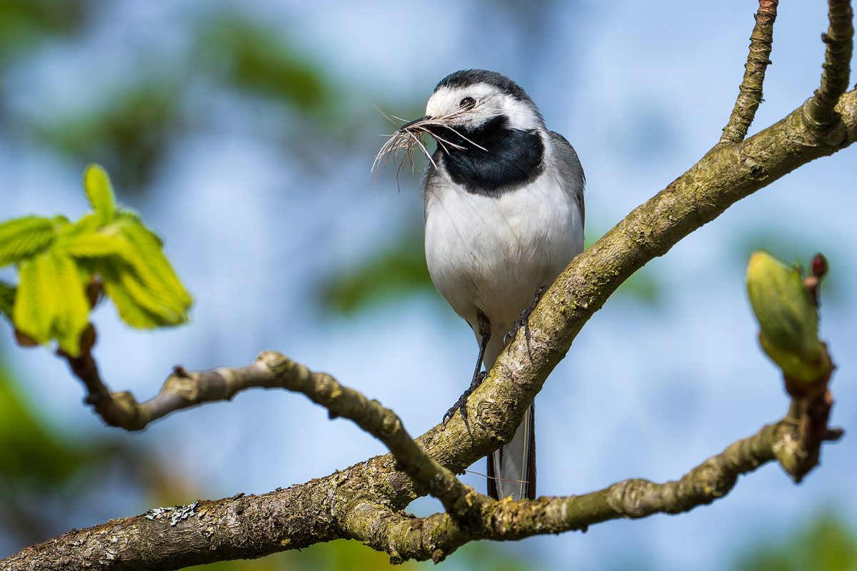
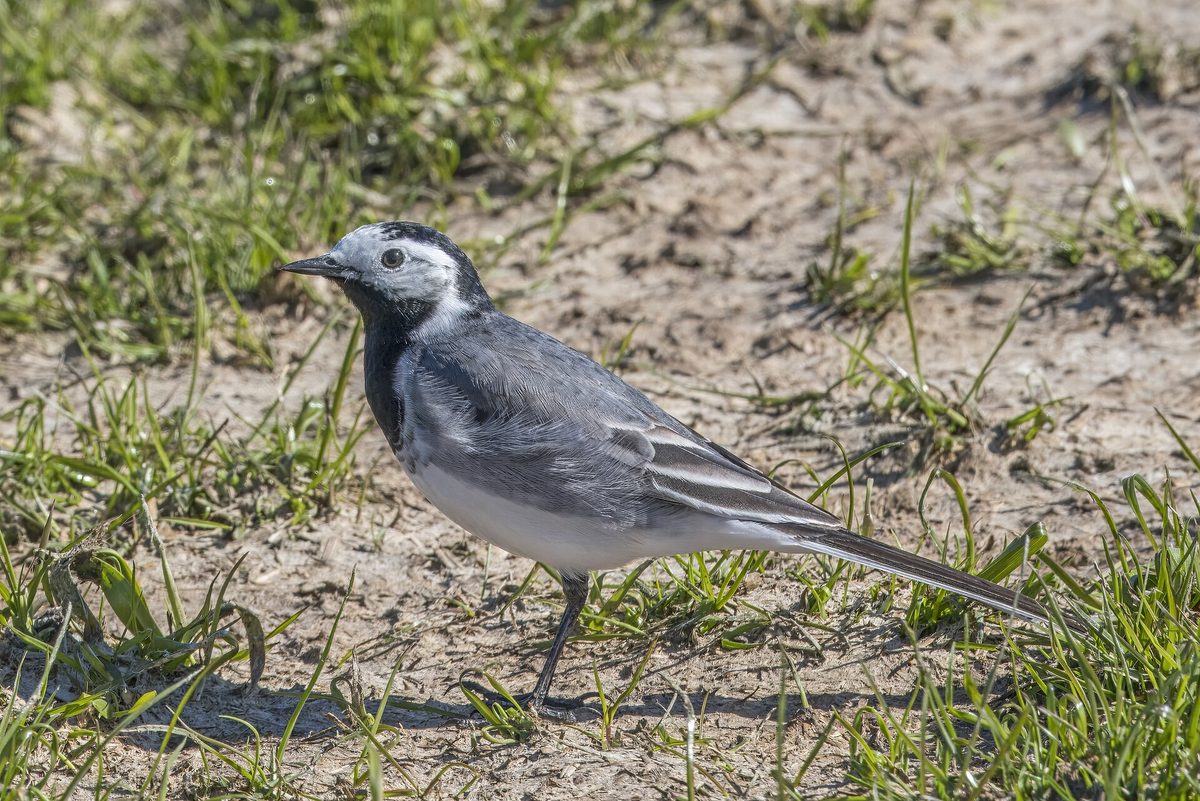
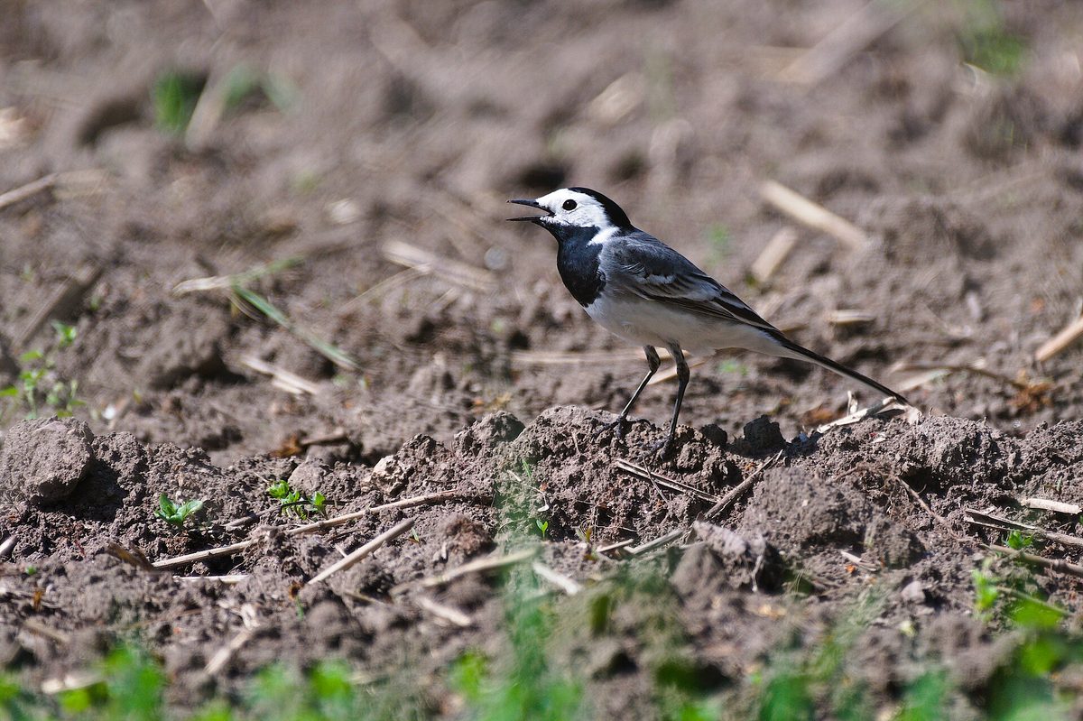
The White wagtail is one of the most noticeable birds near human habitation. It measures 16.5–19 cm in length, a significant portion of which is its tail. The upper body is gray, with a black cap and "bib," while the forehead, cheeks, and belly are white. The bird runs quickly on the ground in small steps and constantly wags its tail — this habit makes it recognizable from a distance.
In the Carpathians, the wagtail occurs from the foothills to the polonynas: on the banks of rivers and streams, along roadsides, in villages, near Kolibas and sheepfolds, where livestock attracts insects. It flies in a wavering line and emits a ringing "tsili-tsip" in flight.
The wagtail feeds on insects and their larvae, which it gathers on the ground, in shallow waters, or catches in short flights. It builds its nest in semi-hidden places: in crevices of buildings, under bridges, in woodpiles, or under roots on the bank.
This is a migratory bird: in spring, wagtails appear in March, among the first of the insectivorous birds, and they leave in September — October.
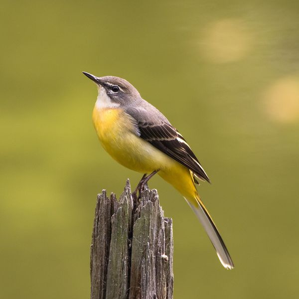
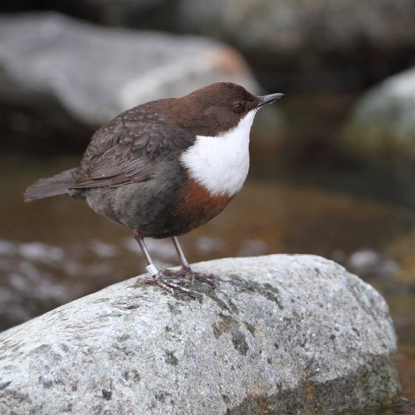
Near mountain streams lives its relative — the Alpine wagtail. It has a yellow underside and an even longer tail, and it prefers fast-flowing water, while the White wagtail is not tied to streams.
Where in the Carpathians

Teal — roughly where the species can occur, by elevation and habitat; orange — where naturalists recorded it (GBIF, CC0/CC BY).
Range: elevation belt and the countries where it is known — our model (AWS Terrain Tiles)
- Countries
- Ukraine · Slovakia · Czechia · Poland · Romania · Hungary · Serbia · Austria · BG
- Mountain ranges
- nearly all Carpathian ranges, within its elevation belt
- Altitude belts
- Foothills (below 600 m) · Beech forests (600–1200 m)
When to see it
| Jan | Feb | Mar | Apr | May | Jun | Jul | Aug | Sep | Oct | Nov | Dec | |
|---|---|---|---|---|---|---|---|---|---|---|---|---|
| Sightings |
From naturalists’ observations in the Carpathians (iNaturalist, research grade): the darker the cell, the more often the species is seen that month.
Protection and rules
Not listed in the Red Data Book of Ukraine.
FAQ
Why does the wagtail wag its tail?
There is no exact answer: ornithologists suggest that the bird signals its vigilance to predators or startles insects. This habit is a reliable characteristic of all wagtails.
How to distinguish the White wagtail from the Alpine wagtail?
The White wagtail has a white underside, a gray upper body, and a black "bib" on its chest. The Alpine wagtail has a yellow belly and undertail, a longer tail, and it prefers fast streams.
Comments
Travellers’ experience: reports, tips, questions.
No one has written here yet. Be the first — your experience helps others.
Similar species
Where to meet it
Trails
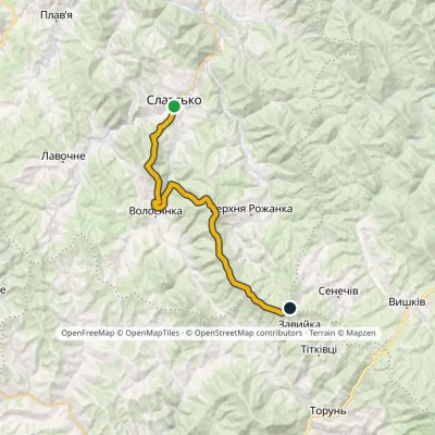 HardOne-dayMarkedNo. 5011 Slavsko «Where Three Regions Meet»Elevation profile592–1 287 m24.5 kmascent 1 326 m≈ 8.5 h walking
 HardTwo-daySlavske village to Lake Synevyrvia the Bukovets PassElevation profile587–1 306 m53.8 kmascent 1 585 m
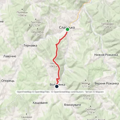 ModerateOne-dayMarkedNo. 5001 Slavske Volosianka villagevia Mount IlzaElevation profile599–1 065 m9.1 kmascent 492 m≈ 3 h walking
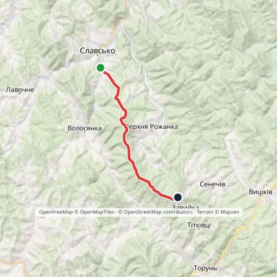 ModerateOne-dayMarkedSlavske Obnoha tractvia Mount Chorna RipaElevation profile603–1 287 m17.2 kmascent 883 m≈ 6 h walking
 HardOne-dayTukhlia village to Slavskevia Mount MakivkaElevation profile521–1 090 m23.2 kmascent 1 065 m≈ 7.5 h walking
 Hard1–2 daysDubyna village to Tukhlia villagevia Kamianka Waterfall, Mount Lopata +1Elevation profile418–1 233 m38.8 kmascent 1 600 m≈ 12.5 h walking
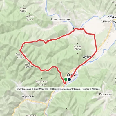 Hard1–2 daysSkole loopvia Mount Parashka, Hurkalo Waterfall +1Elevation profile396–1 268 m38.1 kmascent 1 100 m≈ 11.5 h walking
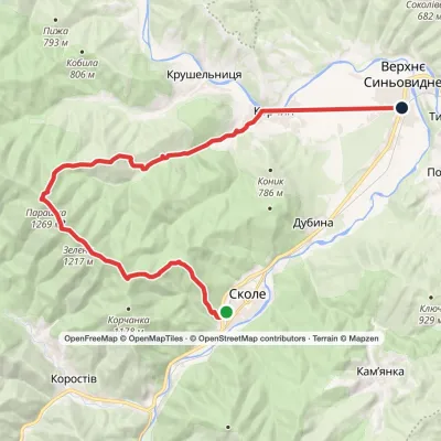 HardOne-daySkole to Verkhnie Synovydne villagevia Mount Parashka, Hurkalo Waterfall +1Elevation profile389–1 268 m26.8 kmascent 1 002 m≈ 8.5 h walking
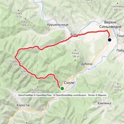 HardOne-daySkole to Verkhnie Synovydne villagevia Mount Parashka, Hurkalo Waterfall +1Elevation profile387–1 268 m27.7 kmascent 973 m≈ 8.5 h walking
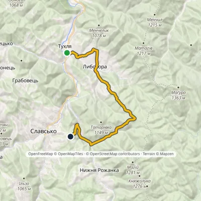 ModerateOne-dayMarkedNo. 5002 Tukhlia Slavskovia LybokhoraElevation profile542–951 m20.3 kmascent 815 m≈ 6.5 h walking
 Hard1–2 daysTukhlia village to Skolevia Mount Kindrat, Mount Matahiv +2Elevation profile445–1 265 m29.6 kmascent 1 569 m≈ 10 h walking
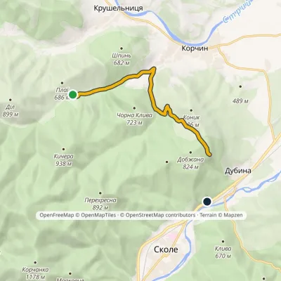 EasyOne-dayMarkedNo. 500 Skole Hurkalo waterfallElevation profile424–816 m7.5 kmascent 428 m≈ 2.5 h walking
Peaks and meadows
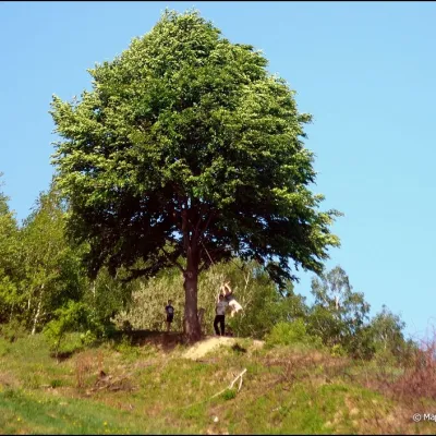 PeakMount KicheraKosivaltitude 567 mThe march to Kichera is an easy walk that all tourists can do. The small length of the march allows you to take your...
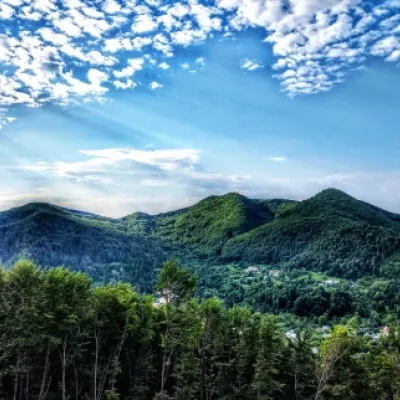 PeakMount Sopka (Stizhky, Zinyakov top).Kosivaltitude 620 m2 trails to the topStizhki (620 meters) offers a panoramic view of the city of Kosiv. The mountain is covered with forests - beech,...
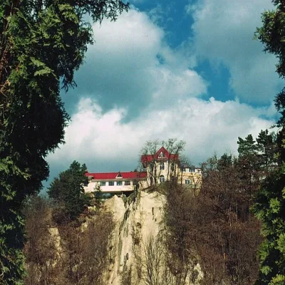 PeakCastle Hill (City)Kosivaltitude 450 mThe top offers a panoramic view of the city. The mountain is home to unique black alpine pines, as well as deciduous...
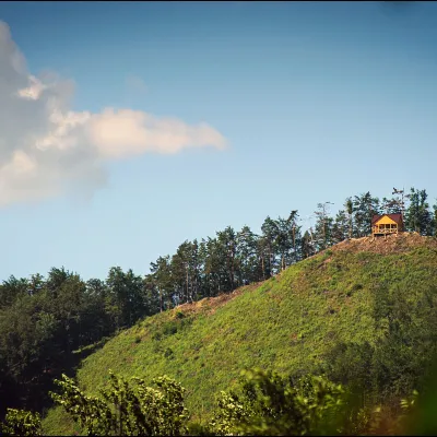 PeakMount Ostry (Ostra)Kosivaltitude 584 m2 trails to the topThe mountain offers wonderful views of the entire Kosiv. The descent is steep, and autumn is magical here.
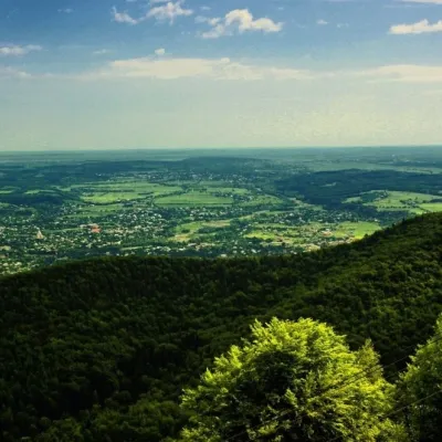 PeakMount Mykhalkova (Kosiv)Kosivaltitude 812 m2 trails to the topMount Mykhalkova (Mykhalkiv), with a height of 812 meters, is part of the Pokuttya Carpathians.
 Mountain meadow674 mPolonyna Rosokhata (Sheshory)SheshoryWhy is the meadow called "Rosokhata"? The two parts of the field that form the branches look like dewdrops.
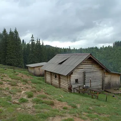 Mountain meadow1 031 mPolonyna DilKryvopilliaShepherds graze cows in the meadow. You can buy dairy products from the shepherds, as well as take part in a master...
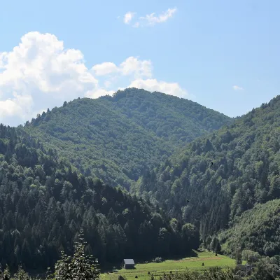 PeakMount of the Heroes of the Heavenly HundredRybnykaltitude 886 m · Skole Beskids rangeThe Mount of the Heroes of the Heavenly Hundred (locally Konova or Horb) is an 886 m summit (890 m according to other...
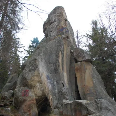 PeakWhite Stone RockDoraaltitude 538 m7 trails to the topThe White Stone Rock is located in the village of Dora in the Carpathians and is one of the most prominent natural...
Waters and waterfalls
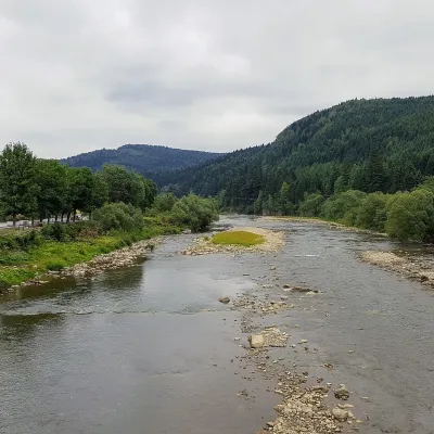 RiverOpir RiverSkoleThe Opir is a 58-km mountain river of the Skole Beskids. It rises on the eastern slope of Mount Velykyi Yavirnyk,...
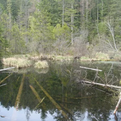 LakeLake Zhuravlyne (Dead Lake)KamiankaThere is one mysterious place in the Skole Beskydy National Nature Park - Zhuravlyne Lake, also called Dead Lake.
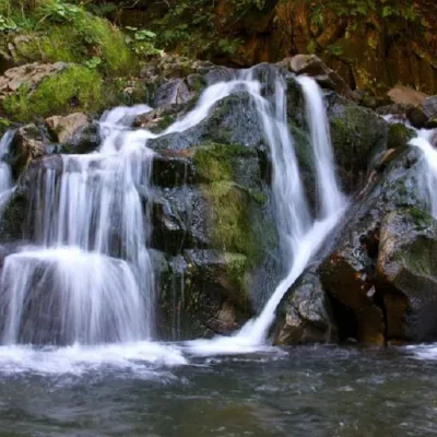 WaterfallKamianka waterfallDubyna"Kamianka Waterfall or Kamianka Waterfall is the most famous waterfall located on the mountain river of the same name...
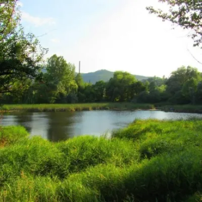 LakeCity Banske Lake (Kosiv)KosivThere are lakes of technogenic origin in the Hutsul mountains. One such lake is Banske Lake (near the former factory ...
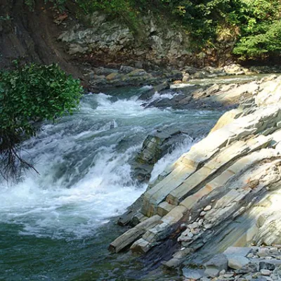 WaterfallKosivskyi Huk WaterfallKosivKosivskyi Huk - one of the most beautiful waterfalls in the Ukrainian Carpathians (in the Pokuttya-Bukovyna...
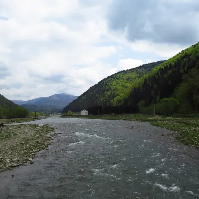 RiverTereblia RiverKolochavaThe Tereblia begins in the Inner Gorgany, where the Roztoka and Sloboda streams meet, and flows through Synevyrska...
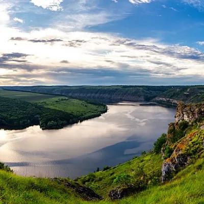 RiverDniesterVovcheThe Dniester is one of the most famous and largest rivers in Ukraine. The Dniester has been used as an important...
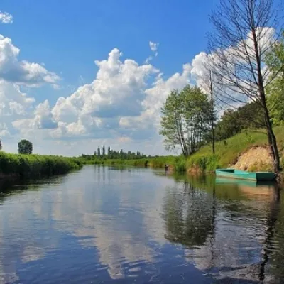 RiverTuria RiverTuri RemetyThe Turia is a small mountain river in western Zakarpattia and a right tributary of the Uzh.
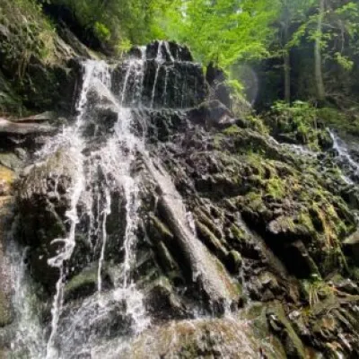 WaterfallYavorivska Niagara waterfallYavorivThe waterfall, or rather a cascade of waterfalls, is located on the bed of the Bedzvinnii stream and is situated...
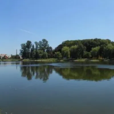 LakeCity lake in KolomyiaKolomyiaAfter touring the city, it's a good idea to relax and unwind by the water.
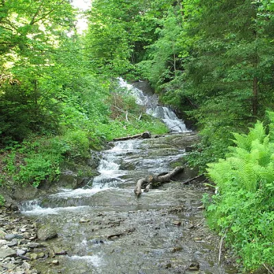 WaterfallYavorivskyi Huk waterfallYavorivYavorivskyi Huk is a 6-meter-highcascading waterfall, a geological natural monument of local importance in Ukraine.
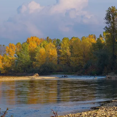 RiverTysa River (Tisza)RakhivThe Tysa (Tisza) is the main river of Zakarpattia. It begins on the north-eastern edge of Rakhiv, where the Chorna...
Mountain ranges: Skole Beskids, Gorgany. In other countries: 🇸🇰 Western Tatras, 🇸🇰 High Tatras, 🇨🇿 Moravian-Silesian Beskids, 🇷🇴 Bucegi Mountains, 🇷🇴 Piatra Craiului, 🇷🇸 Đerdap and Miroč, 🇵🇱 Żywiec Beskids, 🇭🇺 Börzsöny and Cserhát, 🇭🇺 Bükk, 🇸🇰 Low Tatras, 🇸🇰 Greater Fatra, 🇵🇱 Silesian Beskids
Trails and peaks near which naturalists recorded the species (GBIF, iNaturalist), matched by altitude and habitat. Sightings are not guaranteed.
Sources
- Вікіпедія: Плиска біла
- Wikipedia (en): White wagtail
- iNaturalist: Motacilla alba (спостереження в Карпатах)
GBIF · iNaturalist · Wikidata · Distribution data: GBIF.org (CC0 and CC BY records), iNaturalist; names and identifiers: Wikidata (CC0). Text: Karpaty.rocks, checked 11.11.2026.
