Deliatyn


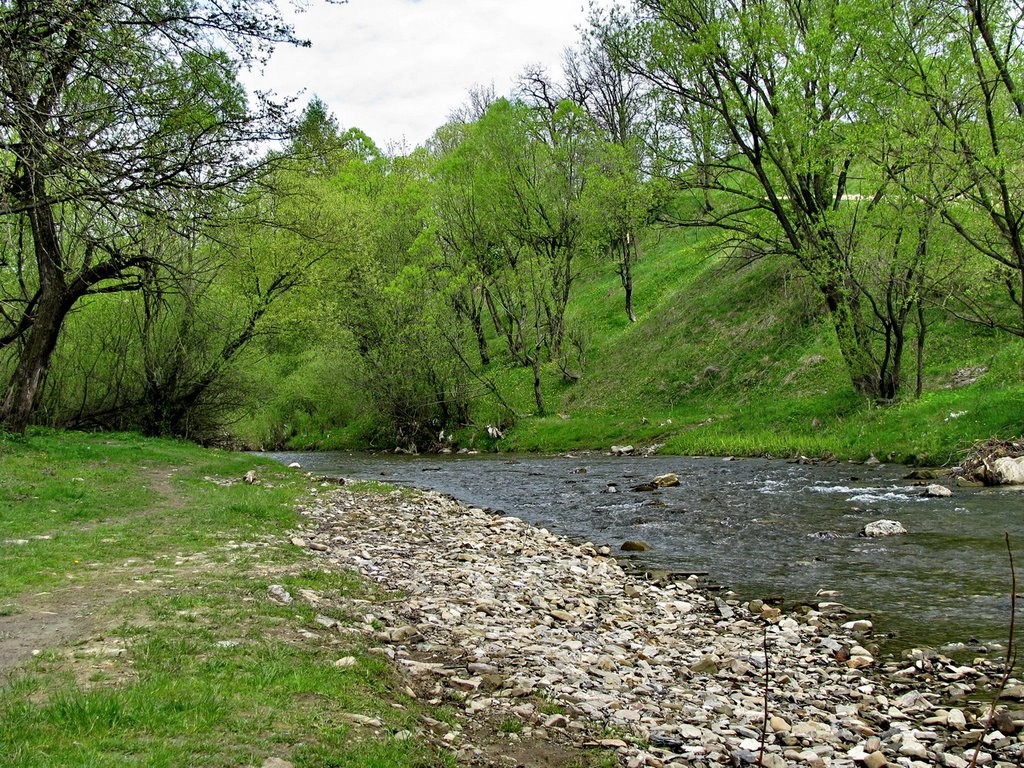
Delyatyn is a town located in the southeastern part of Ivano-Frankivsk Oblast on the Prut River. Delyatyn belongs to the Nadvirna district of Ivano-Frankivsk region. This region is ethnographically considered to be Hutsulshchyna.
In historical documents, Delyatyn was first mentioned in 1400 when Polish King Władysław II Jagiełło granted the lands in the Kolomyia region above the Prut River to the brothers Stetsko and Ivashko Negovych. After receiving an official document from the king, the brothers took a new surname and became Daliatynski, and from the 1440s - Delyatynski. They held Delyatyn and the surrounding area until 1579, when the owners of the Delyatyn region were Yakiv Khotymyrskyi, Khrystofor Bludnytskyi, and Pavlo and Ivan Turetskyi. At that time, Delyatyn was a town and had a population of 465. Soon, Delyatyn became the center of a separate parish, which included Mykulychyn, Velyki and Mali Oslavy (probably Bili and Chorni Oslavy), Lanchyn, and Sadzhavka.
Delyatyn changed its status: from a town it became a village, then a town again, or a so-called rural town, and then a town again. The first written document about Delyatyn dates back to March 9, 1400. In 1434, the "Ruthenian law" was abolished, the Polish system was introduced, and Latin was recognized as the official language. In 1579, Delyatyn was already considered a city, had 465 inhabitants, and was considered the center of a separate parish, which included Mykulychyn, Velyki and Mali Oslavy, Lanchyn, and Sadzhavka. At the end of the 16th century, the Delyatyn parish was in the hands of the magnate Belzetskyi, who concentrated about 50 settlements between Chornohora and Obertyn.
In 1645, a castle was built in Delyatyn. It had a large private library. It is known that it was the subject of a property dispute in the Galician City Court in 1643-1646 between the brothers Bonaventure and Theodore Belzec after the death of their father.
In the eighteenth century, Delyatyn passed to the Potocki counts.
After the three partitions of Poland, Delyatyn, like the rest of Prykarpattia, was ceded to the Austrian Empire in 1772. After 1772, Delyatyn became the county town of the Stanislaviv district. Since 1783, the town's inhabitants (tenants) were counts Zetner.
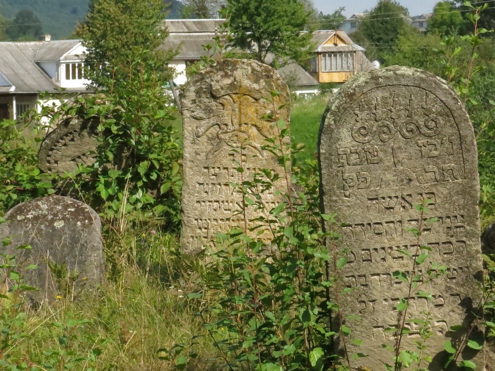
In the XIX century Delyatyn was a Jewish town.
The end of the 80s of the XX century was marked by the intensification of political life in Delyatyn.
In 1989, the Taras Shevchenko Youth Organization was established in Delyatyn secondary school No. 1 to protect the native Ukrainian language. Its active members were Tymofii Antoniuk, Adelia Brik, Kalyna and Hryhorii Pavlyshyn, and others. In November 1989, Yuriy Mykytyuk, Yuriy Mushak, and Eduard Kovtun hung blue and yellow flags over the administrative building of the village council, the house of Mykola Lahodynskyi, and the spire of the church.
Currently, Delyatyn has two secondary schools of I-III levels, one school of I-II levels and a school of I level, a structural unit of the educational complex, a children's music school, a kindergarten "Sonechko", Delyatyn Lyceum, a village hospital with two inpatient departments and 6 auxiliary services, a paramedic and obstetric station, a community center, and a library. The village is fully gasified and has partial street lighting.
There are 17 archaeological sites on the territory of Delyatyn. Traces of Neanderthal life in this area date back to about 40 thousand years ago. The traces of Neanderthals' presence are flint choppers, scrapers and massive chips found in the 70s of the XX century by archaeologist Mykhailo Klapchuk in the Pidkiziv tract on the outskirts of Delyatyn. From the late Paleolithic to the early Mesolithic (8-12 thousand years ago), traces of an archaeological phenomenon called the Ploschanska culture have been found in the Kruhlyak and Kutsykove Pole tracts. At the entrance to Delyatyn, in the Hnyla Krynytsia tract in Vilkhivka, stone grain grinders, a stone hammer, a flint sickle, knives, and scrapers were found, which are associated with the Komarivska culture, which existed 1.5-1.3 thousand years ago.
Video
What to visit
Landmarks, museums and places of interest near Deliatyn.
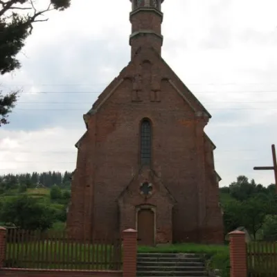 ArchitectureChurch of St. Francis, DelyatynDeliatyn1.4 km from the centreAccording to official documentation, until 1857 the local Roman Catholic community was subordinated to the Nadvirna parish and did not have its own church, despite the...
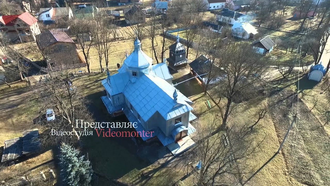
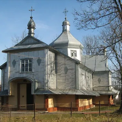 ChurchChurch of the Nativity of the Blessed Virgin Mary (old), DelyatynDeliatyn1.9 km from the centreThe Church of the Nativity of the Blessed Virgin Mary is a striking work of the Hutsul school of folk wooden architecture.
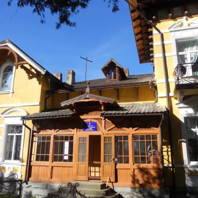 MuseumLocal history museum of the village of DelyatynDeliatyn2.3 km from the centreThe museum was inaugurated on September 16, 2012. The museum was inspired by local resident Andriy Mysyuk, who for many years had been researching and studying the...
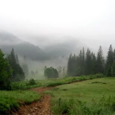 NatureNature Reserve "Horgany", NadvirnaNadvirna9.6 km from the centre"HORGANY" – a nature reserve located in the Nadvirna district of Ivano-Frankivsk region. In administrative and economic terms, the territory of the reserve is divided...
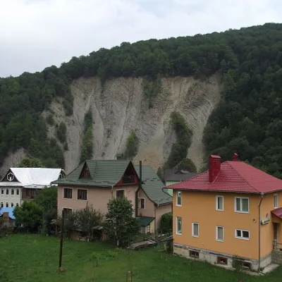 NatureElephant Rock, YaremcheYaremche10 km from the centreThe ElephantRock belongs to the Gorgany mountain system. It is located on the Prut River to the east of the central part of Yaremche.
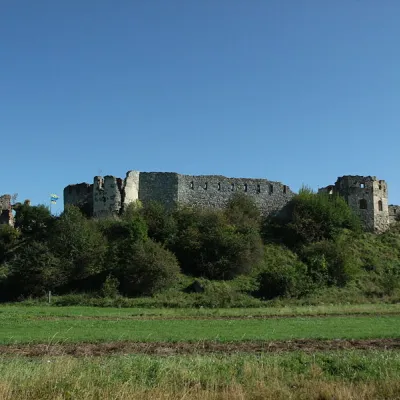 CastlePniv CastlePniv11 km from the centrePniv Castle is one of the unique historical monuments of Ukraine. Throughout its history, it has played an important role in the events that took place in the lands of...
Craft nearby
All craft places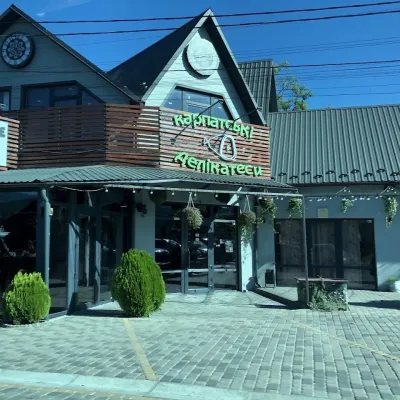 Craft shopsKarpatski Delikatesy farm shop, YaremcheYaremche6.4 km from the centreKarpatski Delikatesy (“Carpathian Delicacies”) is one of the largest shops of local products in Yaremche, right on the main road through town at 59/2 Svobody Street.
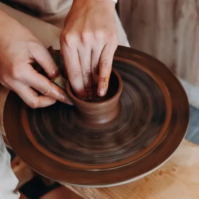 Ethno tours & guidesKosiv & Yavoriv Hutsul Crafts Tour from YaremcheYaremche11 km from the centreIf you are staying in Yaremche or Bukovel and want to see the real craft heartland of the Hutsul region, not just the mountain views, a handy option is a day tour to...
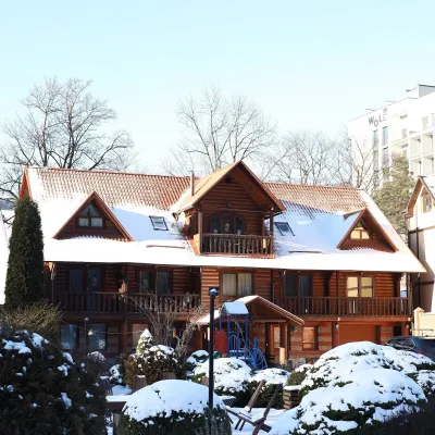 Koliby & Hutsul cuisineKrasna Sadyba Koliba, YaremcheYaremche11 km from the centreKrasna Sadyba in Yaremche is one of the town’s busiest places to eat: it has almost seven and a half thousand reviews on Google Maps.
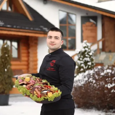 Koliby & Hutsul cuisineVedmezha Hora Koliba, YaremcheYaremche12 km from the centreVedmezha Hora koliba in Yaremche (“Bear Mountain”) is a family restaurant that has long been one of the town’s most popular food addresses.
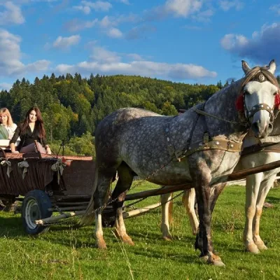 Horse ridingHorse Trails from Kamianyi Dvir Cottage, YaremcheYaremche12 km from the centreBesides accommodation, the Kamianyi Dvir (“Stone Yard”) cottage on Hrushevskoho Street in Yaremche is known for its horse rides.
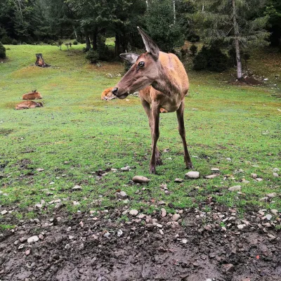 Wildlife parks & animal farmsCarpathian National Park Enclosure Farm, YaremcheYaremche12 km from the centreThe Enclosure Farm of the Carpathian National Nature Park is a small wildlife park on the edge of Yaremche where you can see animals of the Carpathian forests up close.
Where to stay
Hotels, guesthouses and cottages in and around Deliatyn.
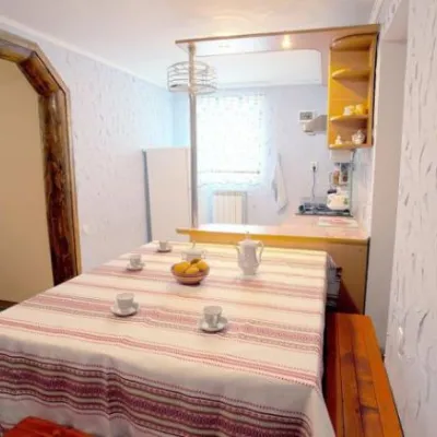 HotelHomestead "U Pani Adelyi" DelyatynDeliatynunder 1 km from the centreSaunaFireplaceKitchenNearby: Church of St. Francis 1.0 kmWhite Stone Rock 6.2 km1 trail
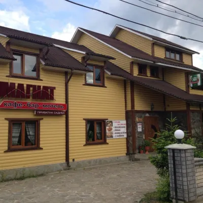 HomesteadHomestead "Mahnat" MykulychynDeliatyn1.6 km from the centreSaunaBBQKitchenNearby: Church of St. Francis 200 mWhite Stone Rock 5.3 km1 trail
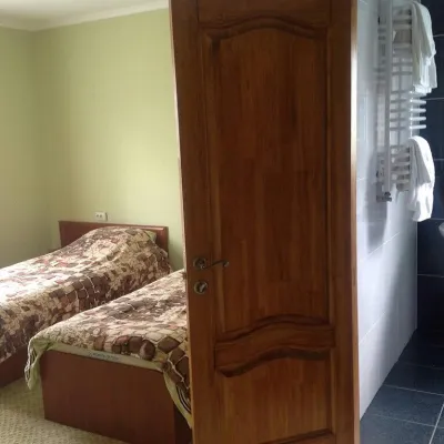 HomesteadGuest House "Vizyt" DelyatynDeliatyn2.5 km from the centreBBQKitchenParkingNearby: Church of St. Francis 1.1 kmWhite Stone Rock 4.7 km5 trails
Trails nearby
All trails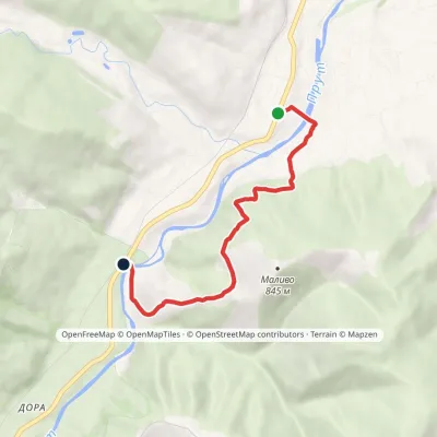 EasyOne-dayMarkedBaron's Trail: Deliatyn Dora villageElevation profile421–701 m5.3 kmascent 268 m≈ 2 h walking2.8 km from the centre
 HardMulti-dayMarkedDora village to Yaremchevia Mount Syniachka, Pereslip Pass +2Elevation profile480–1 459 m50.1 kmascent 1 846 m5.7 km from the centre
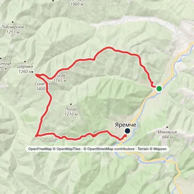 HardMulti-dayMarkedDora village to Yaremchevia Mount Syniachka, Pereslip PassElevation profile481–1 399 m24.6 kmascent 1 027 m≈ 8 h walking6.2 km from the centre
Peaks nearby
All peaks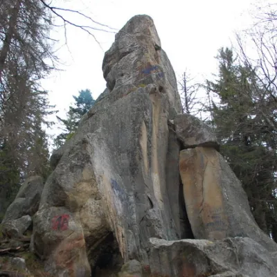 PeakWhite Stone RockDoraaltitude 538 m6.3 km from the centre7 trails to the topThe White Stone Rock is located in the village of Dora in the Carpathians and is one of the most prominent natural attractions in Ukraine.
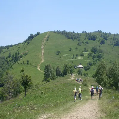 Mountain meadowMount Makovytsia, YaremcheYaremchealtitude 984 m · Gorgany range9.5 km from the centre7 trails to the topBesides, these mountains have a certain mysticism about them.
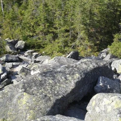 PeakMount SinyachkaYaremchealtitude 1 400 m · Gorgany range13 km from the centre10 trails to the topMount Sinyachka is a 1400-meter peak in the Gorgan mountain range of the Ukrainian Carpathians, located in the Nadvirna district of Ivano-Frankivsk region.
