Turček
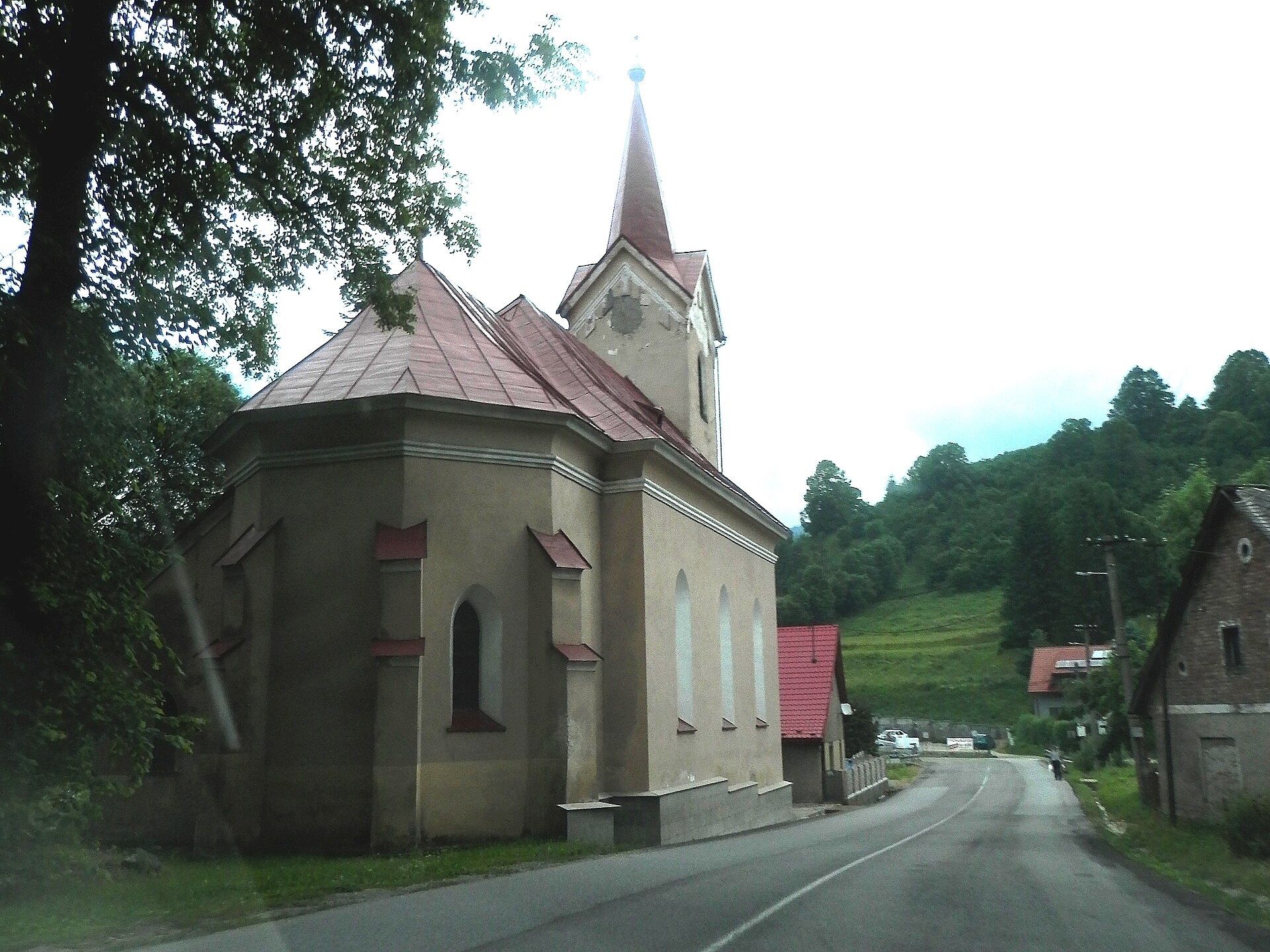
Photos: Szeder László, CC BY-SA 3.0 (Wikimedia Commons); FOTO:Fortepan — ID 86422: Adományozó/Donor: Magyar Földrajzi Múzeum / Erdélyi Mór cége., Public domain (Wikimedia Commons); Unknown authorUnknown author, Public domain (Wikimedia Commons); Ing.Mgr.Jozef Kotulič, CC BY-SA 4.0 (Wikimedia Commons); Ing.Mgr.Jozef Kotulič, CC BY-SA 4.0 (Wikimedia Commons)
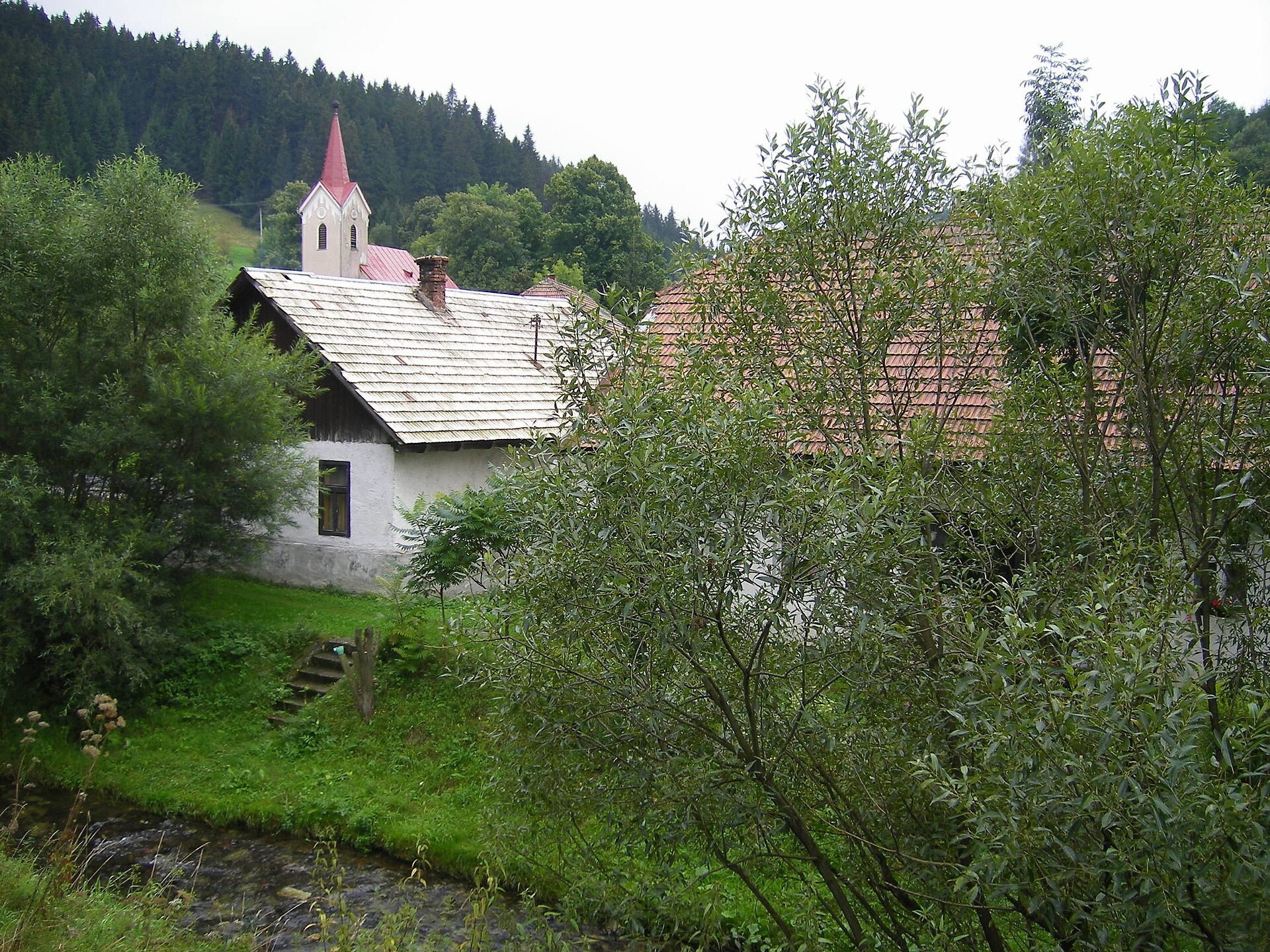
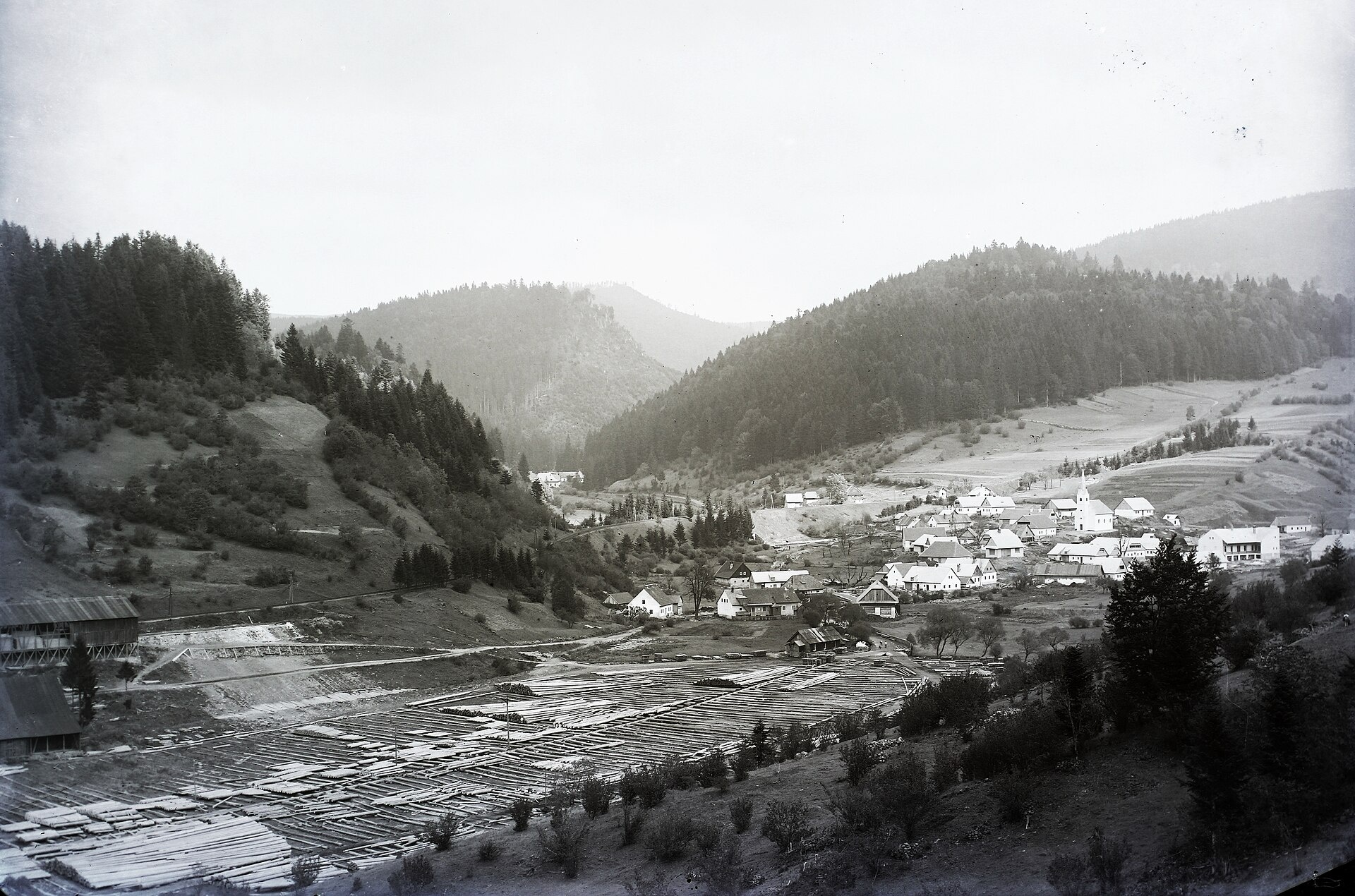
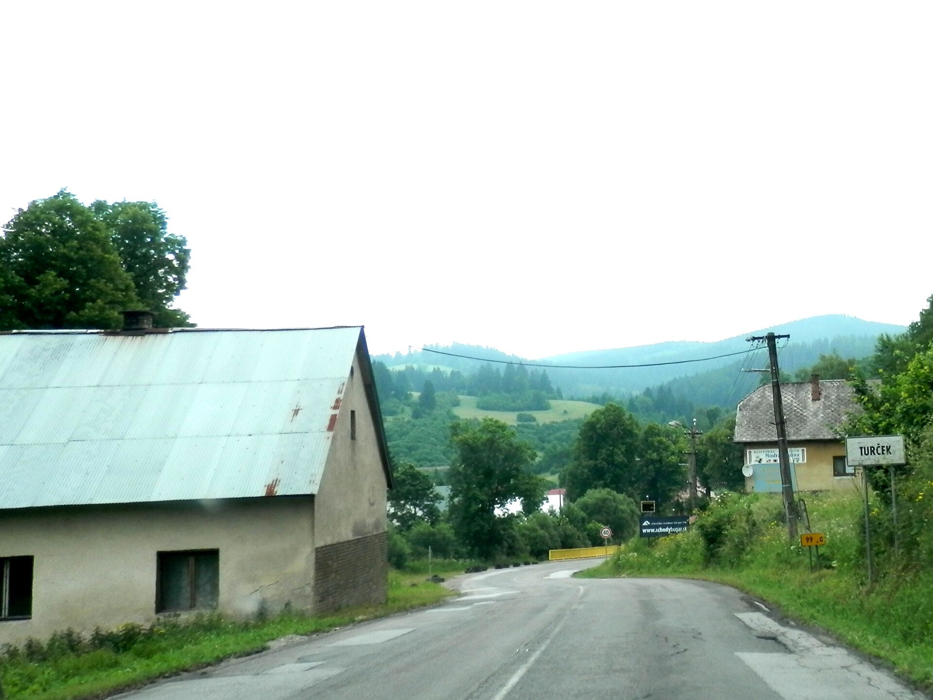
Turček is a village in the Turčianske Teplice District, Žilina region, Slovakia. It lies at 674 metres above sea level in the northern part of the Slovak Central Mountains, on the northeastern edge of the Kunešovská plateau at the foot of the Flochová ridge in the Kremnica Mountains. The Anton stream, Flochovec, and Turček flow through the village, and the Turček reservoir is nearby.
The first written mention of Turček dates back to 1371. The village was formed during medieval colonization, largely by settlers from German lands, and for a long time belonged to the town of Kremnica. Residents were mainly miners, metalworkers, and craftsmen. In the 20th century, Turček had a German-speaking community, which was expelled in 1945.
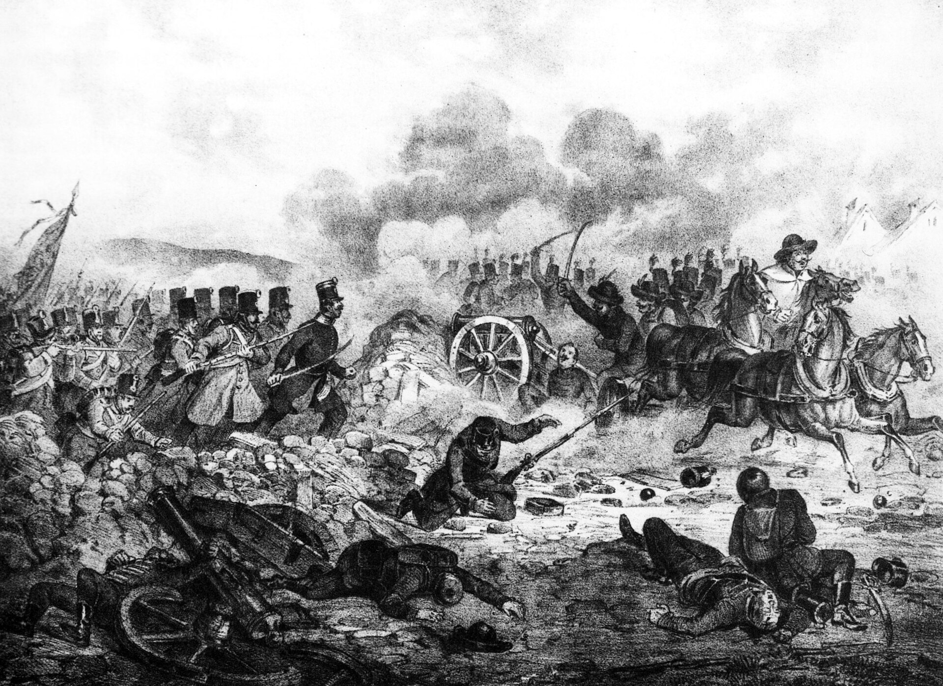
Turček is known for its picturesque natural setting in the Kremnica Mountains, the reservoir, and its mining heritage. The area was the site of battles during the 1849 War of Independence and the Slovak National Uprising in 1944. Traditions of mining and local crafts are still present.
Several hiking and skiing trails start in or near Turček, including the winter ski route Zimný prechod Kremnickými vrchmi. Visitors can explore routes such as "Turčianske Teplice – Košarisko", "Kremnica – Skalka, recreation centre", and the path to Flochová saddle. Highlights in the area include Harmanec Cave, Kráľova studňa in Veľká Fatra, the Museum of Coins and Medals in Kremnica, and the traditional Kremnica gingerbread from the Gaurík family bakery.
Getting there from Ukraine
From Uzhhorod ≈275 km, ≈3 h 35 min without queues: Uzhhorod – Vyšné Nemecké → I/19 to Košice → D1 motorway via Prešov, Poprad and Liptovský Mikuláš to Ružomberok (≈270 km, ≈3 h 25 min from the border). From Lviv it is faster through Poland: M-10 → Krakovets – Korczowa → A4 to Kraków → S7/DK7 to the Chyżne – Trstená border → R3 and I/59 via Dolný Kubín to Ružomberok: ≈482 km, ≈6 h 15 min (via Uzhok and Ubľa ≈500 km, ≈7 h 30 min). The D1 requires an e-vignette (eznamka.sk).
Sources: Wikipedia, Wikidata, OpenStreetMap, Karpaty.rocks data. More on Wikipedia
Trails nearby
All trails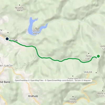 EasyOne-dayMarkedTurček Sedlo TunelElevation profile690–1 152 m6.8 kmascent 14 m≈ 1.5 h walkingunder 1 km from the centre
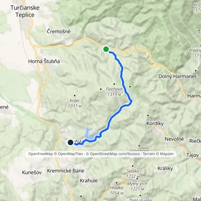 ModerateOne-dayMarkedTurček Chata BartoškaElevation profile690–1 304 m14.1 kmascent 655 m≈ 5 h walkingunder 1 km from the centre
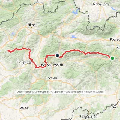 HardMulti-dayMarkedHorná Poruba, U Brdárov Pred ČuntavouElevation profile309–2 004 m241.6 kmascent 15 694 m1.6 km from the centre
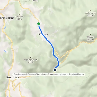 EasyOne-dayMarkedKrahule ToliarElevation profile662–923 m3 km≈ 45 min walking3.1 km from the centre
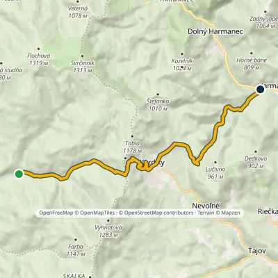 ModerateOne-dayMarkedHarmanec Studený žľabElevation profile446–1 124 m12.2 kmascent 311 m≈ 3.5 h walking3.3 km from the centre
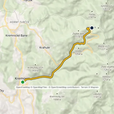 ModerateOne-dayMarkedKremnica Skalka, recreational centerElevation profile546–1 188 m8.2 kmascent 641 m≈ 3.5 h walking4.8 km from the centre
Peaks nearby
All peaks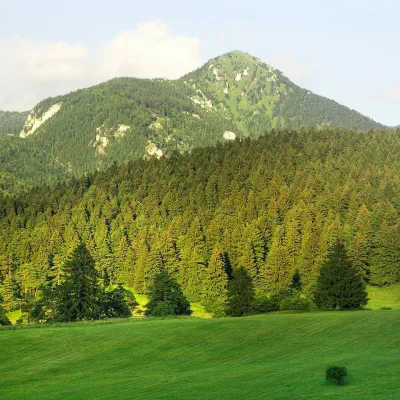 PeakDrienokBlatnicaaltitude 1 268 m15 km from the centreDrienok (formerly Drieňok) is a 1268 m limestone and dolomite summit in the south-western part of the Slovak Veľká Fatra.
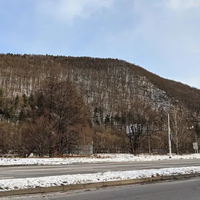 PeakUrpínBanská Bystricaaltitude 510 m16 km from the centreUrpín is a low but very prominent 510 m hill in central Slovakia, rising directly above the historic centre of Banská Bystrica on the left bank of the Hron river.
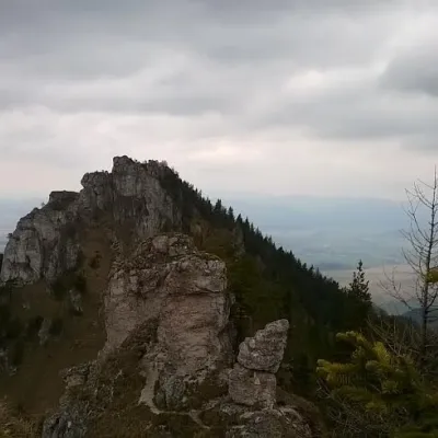 PeakOstráBlatnicaaltitude 1 259 m18 km from the centreOstrá (Slovak for sharp) is one of the most striking and best-loved peaks of Slovakia’s Greater Fatra.
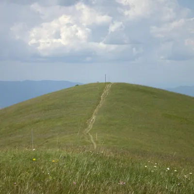 PeakOstredokTureckáaltitude 1 596 m20 km from the centreOstredok is the highest peak of the Greater Fatra (Veľká Fatra) at 1,596 m. It lies in the central part of the range, in the Hôľna Fatra, above the village of...
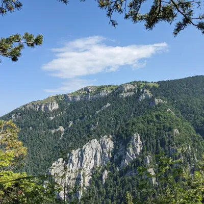 PeakTlstáBlatnicaaltitude 1 373 m20 km from the centreTlstá (Slovak for “fat”) is a prominent summit 1373 m high on the western edge of the central Greater Fatra (Veľká Fatra), Slovakia, in the Bralná Fatra part.
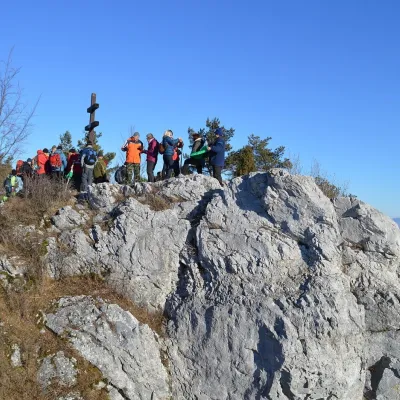 PeakVyšehradJasenovoaltitude 829 m21 km from the centreVyšehrad (Polish Wyszogród) is a prominent summit 829 m high on the main ridge of the Žiar Mountains in central Slovakia.
What to visit
All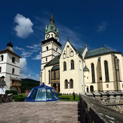 MuseumMuseum of Coins and Medals and Town Castle, KremnicaKremnica6 km from the centreThe National Bank of Slovakia's Museum of Coins and Medals (NBS – Múzeum mincí a medailí) is the country's main numismatic museum, in Kremnica, an old town of gold...
 Craft producersKremnica gingerbread: the Haurík family bakery since 1922Kremnica6.1 km from the centreKremnica is an old mining town in the Kremnica Mountains where coins have been struck for more than six centuries.
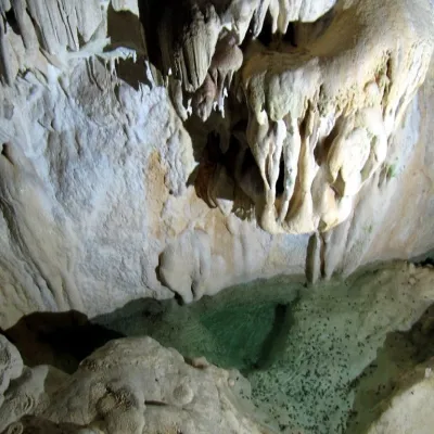 NatureHarmanecká CaveDolný Harmanec11 km from the centreThe “White Cave” above the Harmanec valley Harmanecká Cave (Harmanecká jaskyňa) lies in the valley of the Harmanec stream north-west of Banská Bystrica, in the...
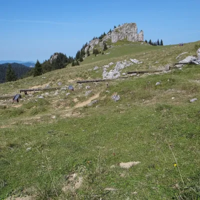 Mountain meadowKráľova studňa: meadow plateau and springs in Veľká FatraDolný Harmanecaltitude 1 365 m17 km from the centreKráľova studňa (literally the «King's Well») is a broad grassy plateau on the main ridge of Veľká Fatra, at the western edge of the Krížna massif.
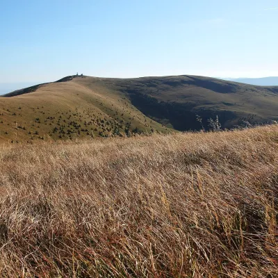 Mountain meadowKrížna and the hole meadows of Veľká FatraTureckáaltitude 1 574 m17 km from the centreKrížna (1,574 m) is a broad grassy massif in the central part of Veľká Fatra in Slovakia, the third-highest summit of these mountains after Ostredok and Frčkov.
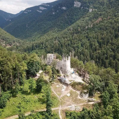 CastleBlatnica Castle and the Gader ValleyBlatnica21 km from the centreBlatnica Castle (Blatnický hrad) is a medieval ruin on the low but sharp limestone ridge of Plešovica (658 m), which separates the Gader valley (Gaderská dolina) from...
Craft nearby
All craft places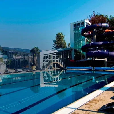 Water parks & thermal poolsSpa & Aquapark Turčianske TepliceTurčianske Teplice13 km from the centreTurčianske Teplice is one of Slovakia’s oldest spa towns. Its warm springs were first mentioned in 1281 in a deed of gift by King Ladislaus IV, and from 1533 they...
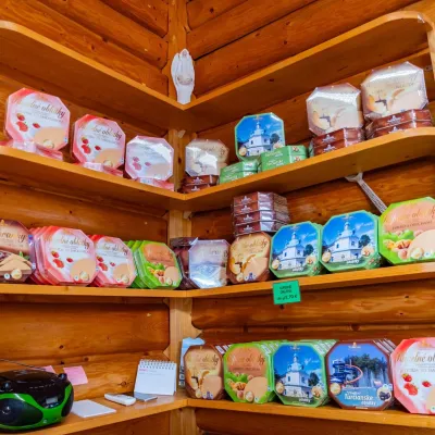 Cheese dairies & pasturesTuriec bryndza dairy, Turčianske Teplice: bryndza since 1917Turčianske Teplice13 km from the centreMore than a hundred years of Turiec bryndza Turiec is a wide basin between the ridges of the Veľká and Malá Fatra, a land of pastures and old sheep farming.
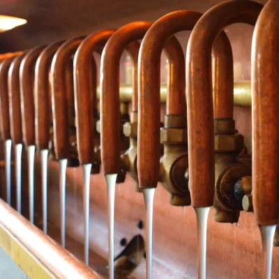 Craft beer & breweriesUrpiner brewery in Banská Bystrica: tour and beer from the tankBanská Bystrica16 km from the centreBanská Bystrica is the centre of Central Slovakia and grew rich on copper mining in the 14th–16th centuries.
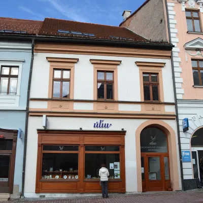 Craft shopsÚĽUV Banská Bystrica: folk-craft shop and craft schoolBanská Bystrica16 km from the centreÚĽUV (Ústredie ľudovej umeleckej výroby, the Centre for Folk Art Production) is a state institution that has looked after Slovak folk crafts since 1945: it keeps a...
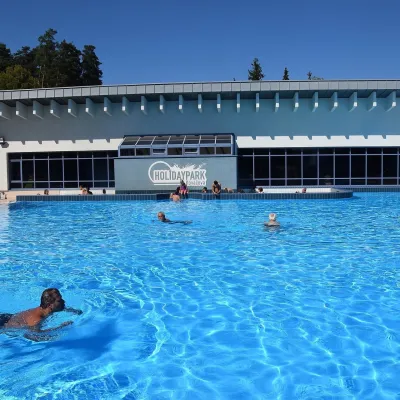 Water parks & thermal poolsKováčová: thermal spa and Holidaypark aquapark near ZvolenKováčová21 km from the centreKováčová is a spa village on the south-western edge of the Zvolen Basin, 4 km west of Zvolen at the foot of the Kremnica Mountains; the village centre lies at 303 m.
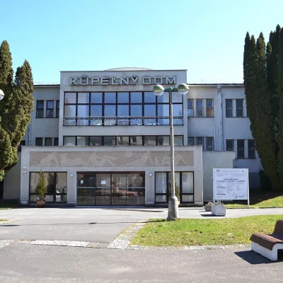 Water parks & thermal poolsSliač spa: warm carbonated water and a thermal swimming areaSliač24 km from the centreSliač is a spa in the Zvolen Basin above the Hron valley, between Zvolen and Banská Bystrica. The spa quarter with its 46-hectare park lies on a slope above the former...
Spas and thermal pools nearby
Water parks & thermal poolsSpa & Aquapark Turčianske TepliceTurčianske Teplice13 km from the centreTurčianske Teplice is one of Slovakia’s oldest spa towns. Its warm springs were first mentioned in 1281 in a deed of gift by King Ladislaus IV, and from 1533 they...Water parks & thermal poolsKováčová: thermal spa and Holidaypark aquapark near ZvolenKováčová21 km from the centreKováčová is a spa village on the south-western edge of the Zvolen Basin, 4 km west of Zvolen at the foot of the Kremnica Mountains; the village centre lies at 303 m.Water parks & thermal poolsSliač spa: warm carbonated water and a thermal swimming areaSliač24 km from the centreSliač is a spa in the Zvolen Basin above the Hron valley, between Zvolen and Banská Bystrica. The spa quarter with its 46-hectare park lies on a slope above the former...Huts, shelters and springs nearby
Getting there from Ukraine
Border crossings
- Uzhhorod – Vyšné Nemecké — road, 24/7
- Malyi Bereznyi – Ubľa — road, 24/7 For cars and buses; pedestrians not confirmed by the Ukrainian border service, lorries up to 3.5 t.
- Mali Selmentsi – Veľké Slemence (pedestrian) — pedestrian, 09:00–21:00 Kyiv time Pedestrians and cyclists only; inconvenient for the Tatras without onward transport.
- Chop – Čierna nad Tisou (rail) — rail, 24/7
By car
From Uzhhorod ≈275 km, ≈3 h 35 min without queues: Uzhhorod – Vyšné Nemecké → I/19 to Košice → D1 motorway via Prešov, Poprad and Liptovský Mikuláš to Ružomberok (≈270 km, ≈3 h 25 min from the border). From Lviv it is faster through Poland: M-10 → Krakovets – Korczowa → A4 to Kraków → S7/DK7 to the Chyżne – Trstená border → R3 and I/59 via Dolný Kubín to Ružomberok: ≈482 km, ≈6 h 15 min (via Uzhok and Ubľa ≈500 km, ≈7 h 30 min). The D1 requires an e-vignette (eznamka.sk).
Checked 23.10.2026; border crossing hours and timetables change — check before you travel.
