Demänovská Dolina
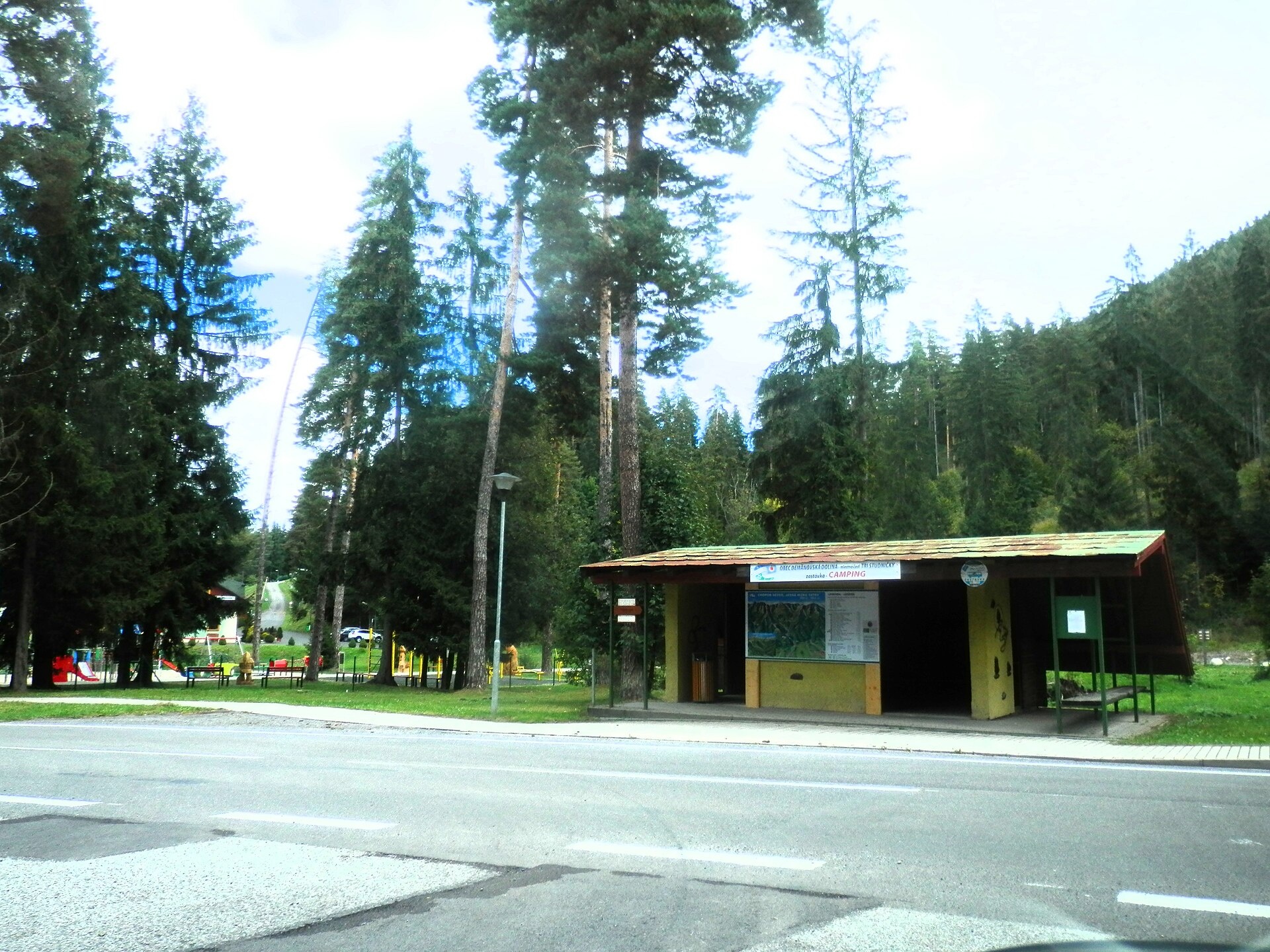
Photos: Pe3kZA, CC BY-SA 4.0 (Wikimedia Commons); ARKADIUSZ MARKIEWICZ, CC BY-SA 3.0 (Wikimedia Commons); pepanos, CC BY 3.0 (Wikimedia Commons); Carodejnictvionline, CC BY-SA 4.0 (Wikimedia Commons); Ing.Mgr.Jozef Kotulič, CC BY-SA 4.0 (Wikimedia Commons); Michal Jakubský, CC BY 3.0 (Wikimedia Commons)
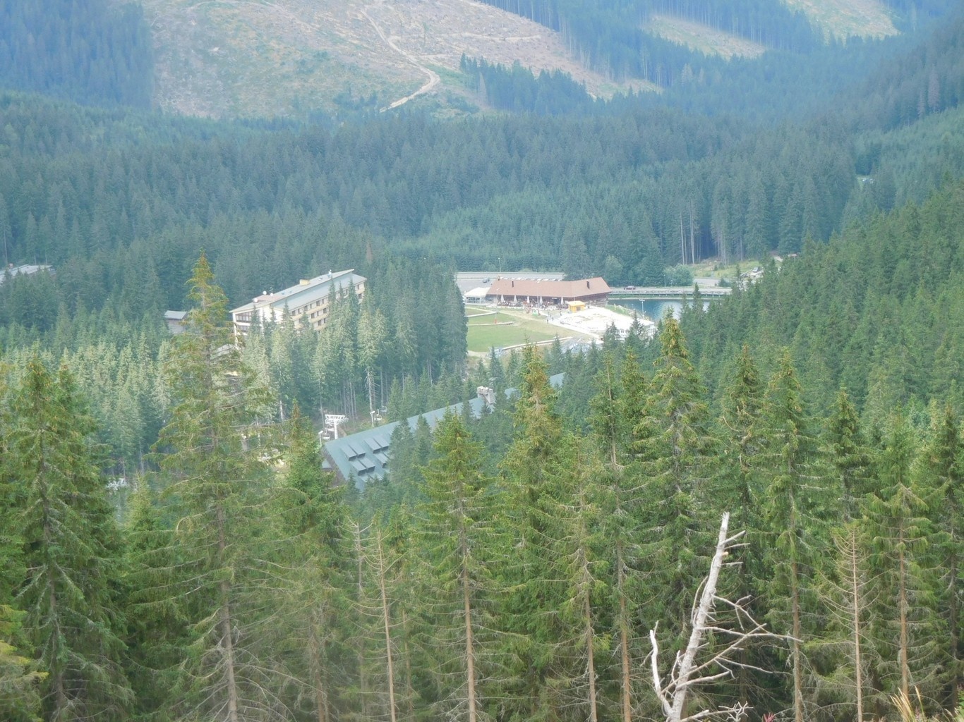
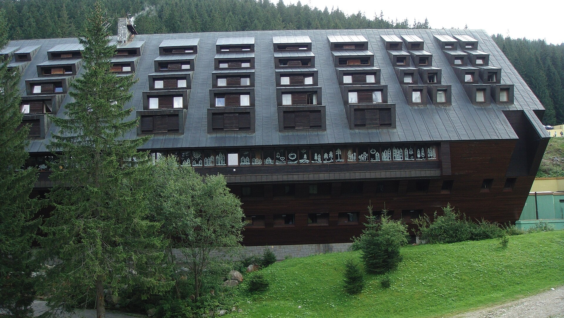
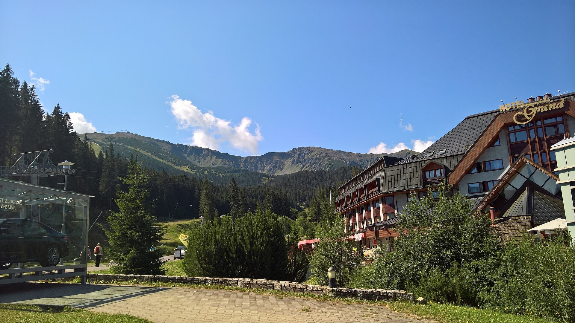
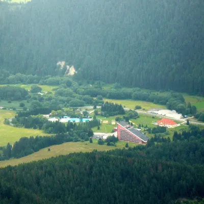
Demänovská Dolina is a village and municipality in the Liptovský Mikuláš District, Žilina region, in central Slovakia. Situated on the northern slopes of the Low Tatras at an elevation of about 1,118 metres, the settlement lies within the scenic Demänovská valley. The population is 379 (2025).
The municipality was established in 1964. Before the creation of independent Czechoslovakia in 1918, its territory belonged to Liptó County in the Kingdom of Hungary, and from 1939 to 1945, it was part of the Slovak Republic.
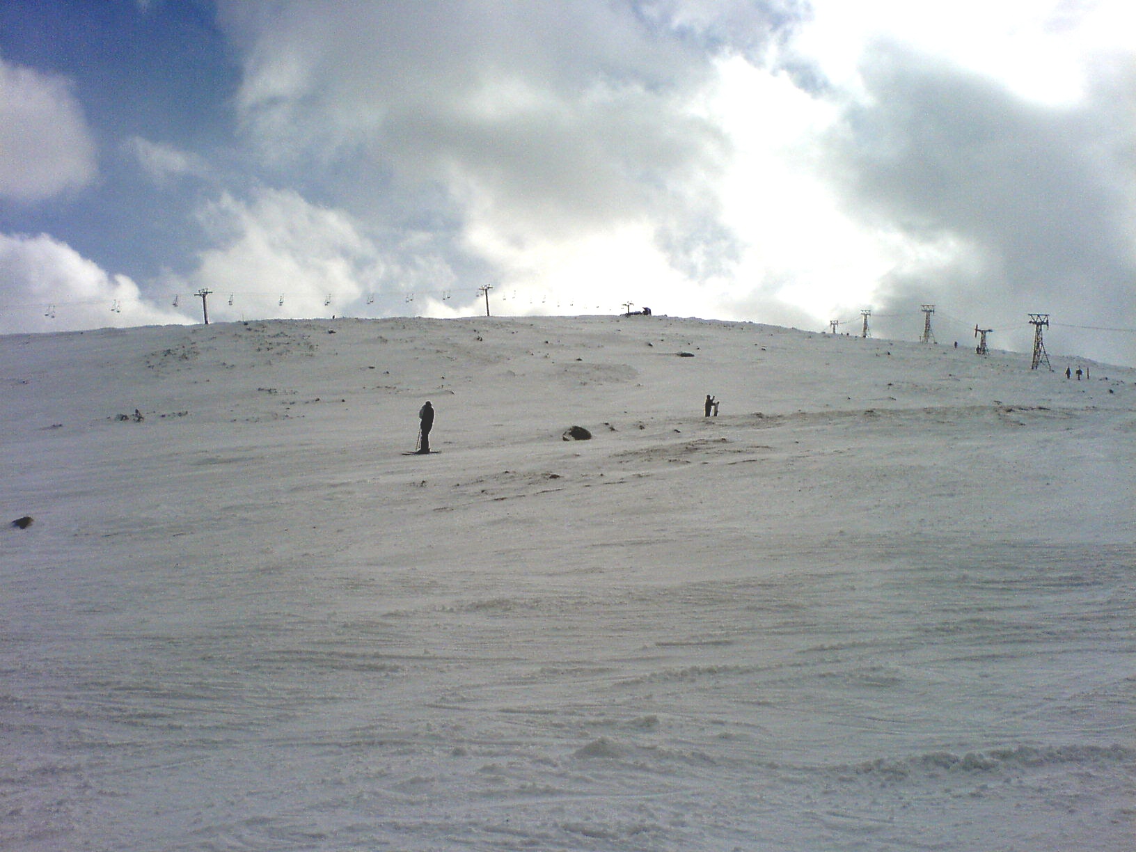
Demänovská Dolina is recognized as an international tourist centre. The area is famous for the Jasná resort, which offers excellent conditions for both summer and winter activities. The Demänovská Cave of Liberty and Demänovská Ice Cave are especially popular, as is the picturesque Vrbické pleso. Notable peaks nearby include Chopok, Ďumbier, and Dereše, as well as the Bare Low Tatras between Chopok and Chabenec.
Visitors can explore numerous marked trails, such as the route from Demänovská Cave of Liberty by Vrbické pleso to the crossroads below Orlová skala, the trail from Luková to Chopok, or the path via Ostredok to Vrbické pleso and further through Tri vody to the Polana saddle. Other options include the route from Lúčky to Krúpova saddle, the Heroes of the SNP trail along the main ridge, and ascents to Chopok, Ďumbier, and Dereše. Points of interest include the Stone Hut under Chopok, Vajskovský waterfall, the wooden articular church in Svätý Kríž, and the thermal pool TERMAL raj in Liptovský Ján. For traditional experiences, visit Salaš Dechtáre above Liptovská Mara or Koliba Strachanovka in Jánska dolina.
Getting there from Ukraine
From Uzhhorod to Brezno ≈274 km, ≈3 h 50 min without queues: Uzhhorod – Vyšné Nemecké → I/19 to Košice → D1 via Prešov and Poprad to the exit near Liptovský Hrádok → I/18 and I/72 over the Čertovica Pass to Brezno. To Banská Bystrica ≈322 km, ≈4 h 30 min: D1 to Ružomberok, then I/59 via Donovaly. From Lviv: to Brezno via Uzhok and Ubľa ≈498 km (≈7 h 45 min) or through Poland ≈554 km (≈7 h 05 min); to Banská Bystrica through Poland (Kraków – Chyżne – Trstená – Dolný Kubín – Ružomberok) ≈535 km, ≈7 h 15 min. The D1 requires an e-vignette (eznamka.sk).
Sources: Wikipedia, Wikidata, OpenStreetMap, Karpaty.rocks data. More on Wikipedia
What's nearby
Trails nearby
All trails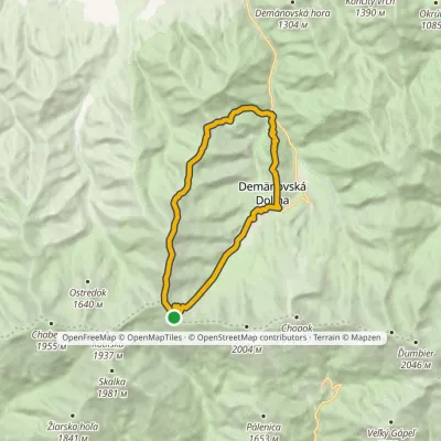 HardTwo-dayMarkedDemänovská jaskyňa Slobody, loop Demänovská jaskyňa SlobodyElevation profile837–1 915 m17.6 kmascent 1 265 m≈ 7 h walkingunder 1 km from the centre
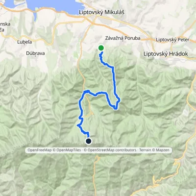 HardMulti-dayMarkedIľanovo ChopokElevation profile652–2 003 m26.7 kmascent 2 715 m≈ 12 h walkingunder 1 km from the centre
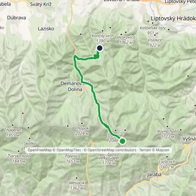 ModerateTwo-dayMarkedChata generála M. R. Štefánika Za VrátamiElevation profile802–1 919 m17.5 kmascent 623 m≈ 5.5 h walking1.3 km from the centre
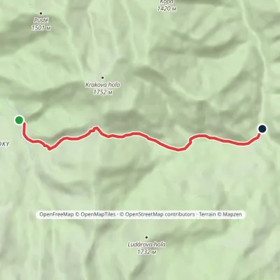 EasyOne-dayMarkedPod Krčahovom Horáreň pred BystrouElevation profile883–1 482 m6.7 kmascent 432 m≈ 2.5 h walking1.8 km from the centre
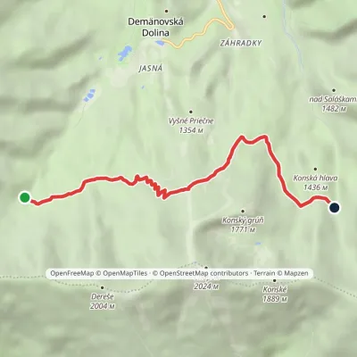 EasyOne-dayMarkedTri Vody End of Široká ValleyElevation profile1 359–1 676 m6.4 kmascent 347 m≈ 2.5 h walking1.8 km from the centre
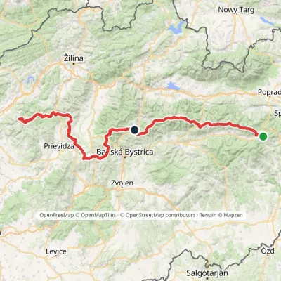 HardMulti-dayMarkedHorná Poruba, U Brdárov Pred ČuntavouElevation profile309–2 004 m241.6 kmascent 15 694 m3.2 km from the centre
Peaks nearby
All peaks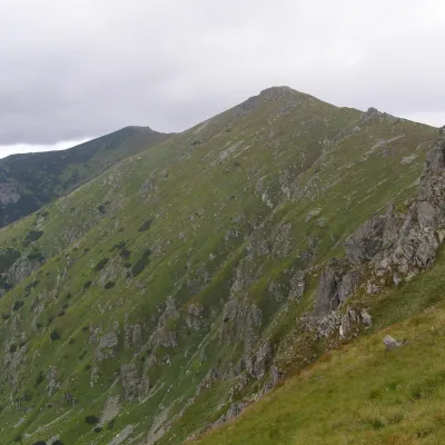 PeakBôrDemänovská Dolinaaltitude 1 888 m3 km from the centreBôr (also Bory, Bôry) is a 1888 m summit in the Low Tatras in Slovakia, about 13 km south-west of Liptovský Mikuláš.
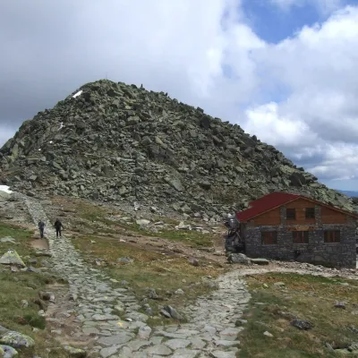 PeakChopokDemänovská Dolinaaltitude 2 024 m3.3 km from the centreChopok (2,024 m) is a summit in the central Low Tatras in Slovakia and the third-highest peak of the range after its neighbours Ďumbier (2,046 m) and Štiavnica (2,025 m).
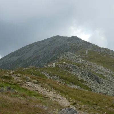 PeakDerešeDemänovská Dolinaaltitude 2 004 m3.6 km from the centreDereše (Polish Deresze, Hungarian Deres) is a 2004 m summit on the main ridge of the Slovak Low Tatras.
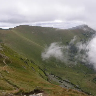 PeakPoľana (Low Tatras)Laziskoaltitude 1 890 m4.2 km from the centrePoľana is a 1,890 m summit on the main ridge of the Low Tatras in Slovakia. It should not be confused with the extinct Poľana volcano (1,458 m) in central Slovakia.
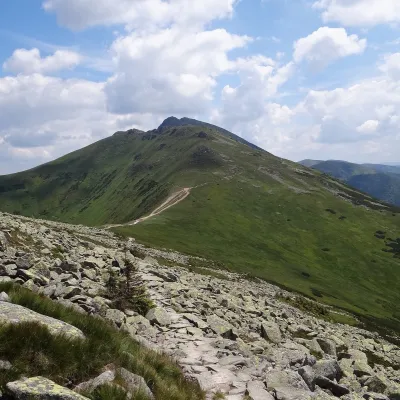 PeakKrúpova hoľaDemänovská Dolinaaltitude 1 922 m5.1 km from the centreKrúpova hoľa is a 1922 m rocky peak on the main ridge of the Low Tatras (Nízke Tatry) in Slovakia. It lies in the highest, Ďumbier part of the range, above Demänovská...
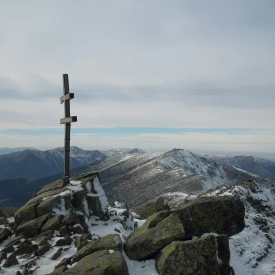 PeakĎumbierDemänovská Dolinaaltitude 2 046 m5.8 km from the centreĎumbier (Polish Dziumbier, Hungarian Gyömbér) is the highest peak of the Low Tatras at 2,046 m (2,043 m on older maps).
What to visit
All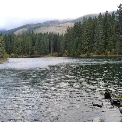 LakeVrbické pleso in the Demänovská valleyDemänovská Dolinaunder 1 km from the centreVrbické pleso is the largest natural lake in the Low Tatras. It lies at 1,113 m in the upper western part of the Demänovská dolina, on the right-hand slope of the side...
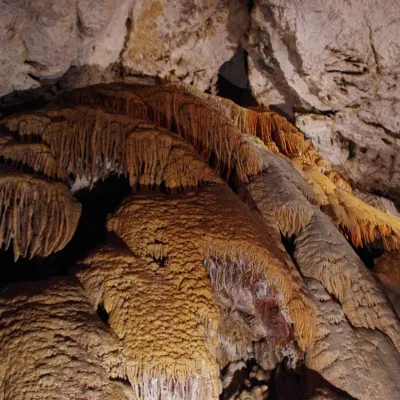 NatureDemänovská Cave of LibertyDemänovská Dolina2.9 km from the centreThe Demänovská Cave of Liberty (Demänovská jaskyňa slobody) lies on the right side of the Demänová valley on the northern slopes of the Low Tatras, 13 km south of...
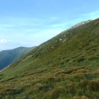 Mountain meadowHole of the Low Tatras between Chopok and ChabenecLaziskoaltitude 1 890 m4.2 km from the centreThe highest section of the grassy main ridge of the Low Tatras (Nízke Tatry) runs west from Chopok (2,024 m), reached by cable cars from the Jasná resort, over Dereše ...
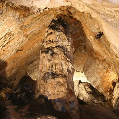 NatureDemänovská Ice CaveDemänovská Dolina5 km from the centreThe ‘dragon’ cave of the Demänová valley The Demänovská Ice Cave (Demänovská ľadová jaskyňa) is the northern part of the famous Demänová cave system in the Low Tatras,...
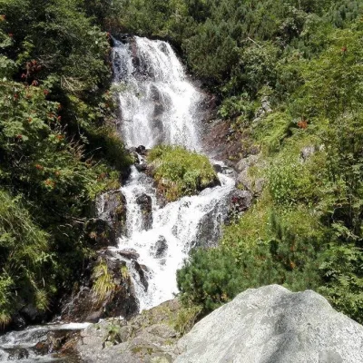 WaterfallVajskovský vodopád (Vajskovský Waterfall)Demänovská Dolina5.3 km from the centreVajskovský vodopád is a cascading waterfall in the upper part of the Vajskovská dolina on the southern side of the Low Tatras, within the Low Tatras National Park ...
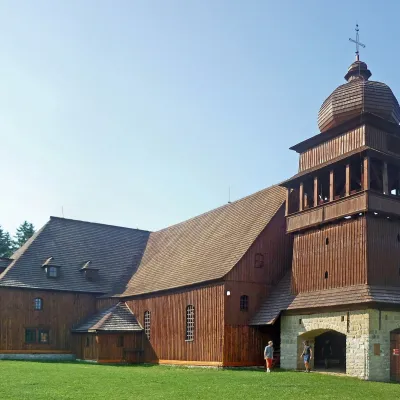 ChurchWooden Articular Church, Svätý KrížSvätý Kríž7.7 km from the centreThe Wooden Articular Church in Svätý Kríž is a Lutheran church in the Liptov region, a few kilometres from Liptovský Mikuláš, considered one of the largest wooden...
Craft nearby
All craft places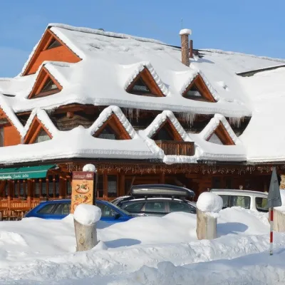 Koliby & Hutsul cuisineKoliba Strachanovka, Jánska valleyLiptovský Ján9.6 km from the centreKoliba Strachanovka (Jánska koliba) is a large wooden koliba at the entrance to the Jánska valley in the village of Liptovský Ján, which locals consider one of the...
 Water parks & thermal poolsTERMAL raj thermal bath, Liptovský JánLiptovský Ján9.9 km from the centreLiptovský Ján: thermal water at the entrance to Jánska dolina Liptovský Ján is an old village in southern Liptov, about 10 km from Liptovský Mikuláš, at the entrance...
 Craft beer & breweriesLiptovar brewery, Liptovský Mikuláš: craft beer and brewpubLiptovský Mikuláš12 km from the centreLiptovský Mikuláš is the main town of the Liptov region, a short drive from the Low and Western Tatras, the Demänovská Valley and the Liptovská Mara reservoir.
 Koliby & Hutsul cuisineSalaš Dechtáre above Liptovská MaraGalovany14 km from the centreSalaš Dechtáre is a wooden koliba above the Liptovská Mara reservoir that is described as one of Slovakia’s first commercial salaš restaurants.
 Water parks & thermal poolsAquapark TatralandiaLiptovský Mikuláš15 km from the centreAquapark Tatralandia is a large year-round water leisure complex near Liptovský Mikuláš, on the northern shore of the Liptovská Mara reservoir.
 Water parks & thermal poolsBešeňová Water ParkBešeňová17 km from the centreBešeňová — the "thermal heart of Liptov" Bešeňová Water Park (Vodný park Bešeňová) lies on the edge of the village of the same name in the western part of the Liptov...
Spas and thermal pools nearby
Water parks & thermal poolsTERMAL raj thermal bath, Liptovský JánLiptovský Ján9.9 km from the centreLiptovský Ján: thermal water at the entrance to Jánska dolina Liptovský Ján is an old village in southern Liptov, about 10 km from Liptovský Mikuláš, at the entrance...Water parks & thermal poolsAquapark TatralandiaLiptovský Mikuláš15 km from the centreAquapark Tatralandia is a large year-round water leisure complex near Liptovský Mikuláš, on the northern shore of the Liptovská Mara reservoir.Water parks & thermal poolsBešeňová Water ParkBešeňová17 km from the centreBešeňová — the "thermal heart of Liptov" Bešeňová Water Park (Vodný park Bešeňová) lies on the edge of the village of the same name in the western part of the Liptov...Huts, shelters and springs nearby
 1 985 mMountain shelterKamenná Hut under ChopokLow Tatras · SlovakiaStandingOn a trailSleeps up to 25Staffed
 1 740 mMountain shelterM. R. Štefánik HutLow Tatras · SlovakiaStandingOn a trailSleeps up to 48Meals served
Getting there from Ukraine
Border crossings
- Uzhhorod – Vyšné Nemecké — road, 24/7
- Malyi Bereznyi – Ubľa — road, 24/7 For cars and buses; pedestrians not confirmed by the Ukrainian border service, lorries up to 3.5 t.
- Mali Selmentsi – Veľké Slemence (pedestrian) — pedestrian, 09:00–21:00 Kyiv time Pedestrians and cyclists only; inconvenient for the Tatras without onward transport.
- Chop – Čierna nad Tisou (rail) — rail, 24/7
By car
From Uzhhorod to Brezno ≈274 km, ≈3 h 50 min without queues: Uzhhorod – Vyšné Nemecké → I/19 to Košice → D1 via Prešov and Poprad to the exit near Liptovský Hrádok → I/18 and I/72 over the Čertovica Pass to Brezno. To Banská Bystrica ≈322 km, ≈4 h 30 min: D1 to Ružomberok, then I/59 via Donovaly. From Lviv: to Brezno via Uzhok and Ubľa ≈498 km (≈7 h 45 min) or through Poland ≈554 km (≈7 h 05 min); to Banská Bystrica through Poland (Kraków – Chyżne – Trstená – Dolný Kubín – Ružomberok) ≈535 km, ≈7 h 15 min. The D1 requires an e-vignette (eznamka.sk).
Checked 23.10.2026; border crossing hours and timetables change — check before you travel.
