Dereše
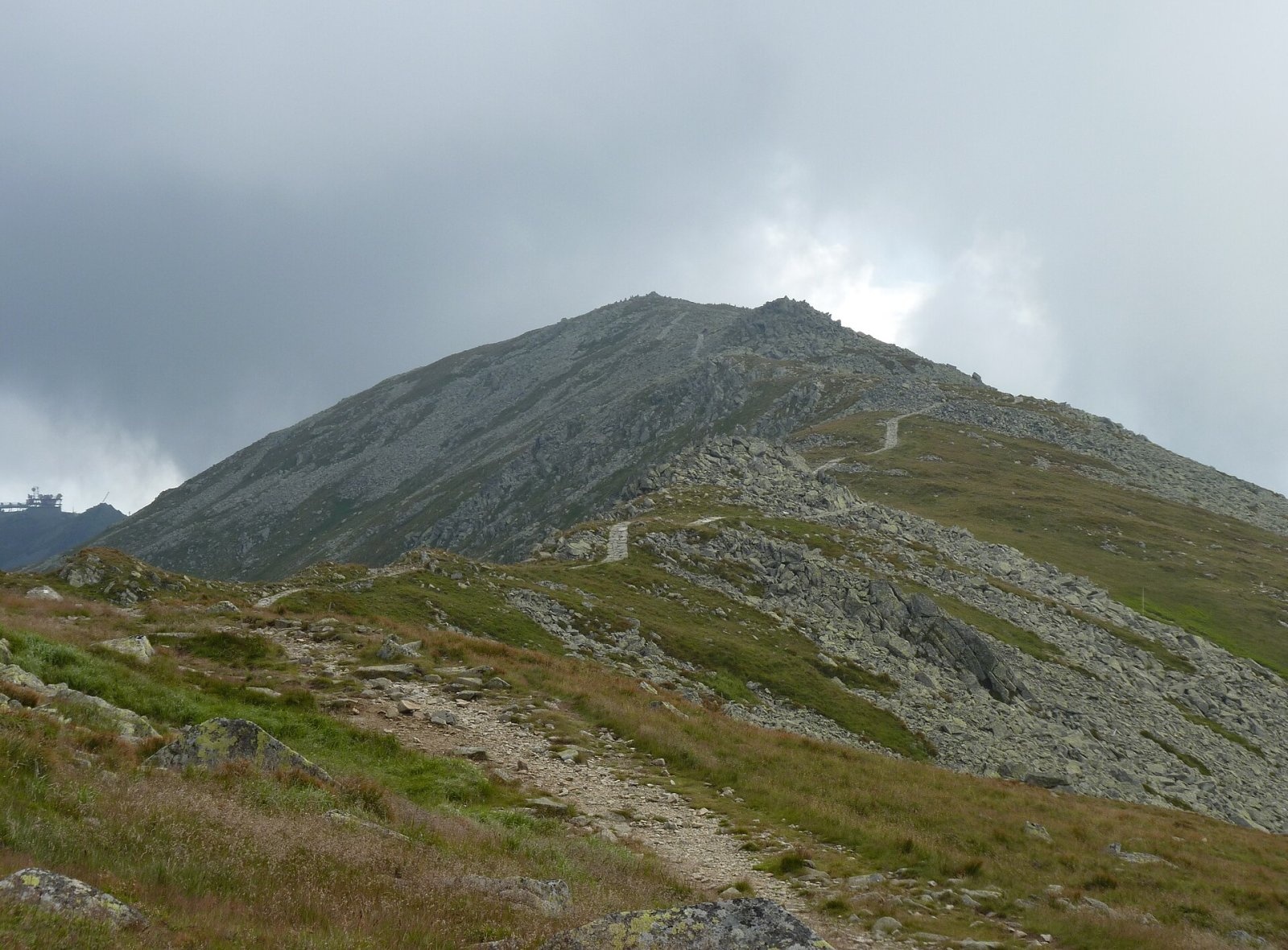
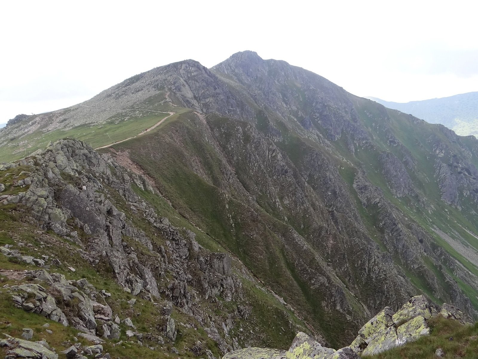
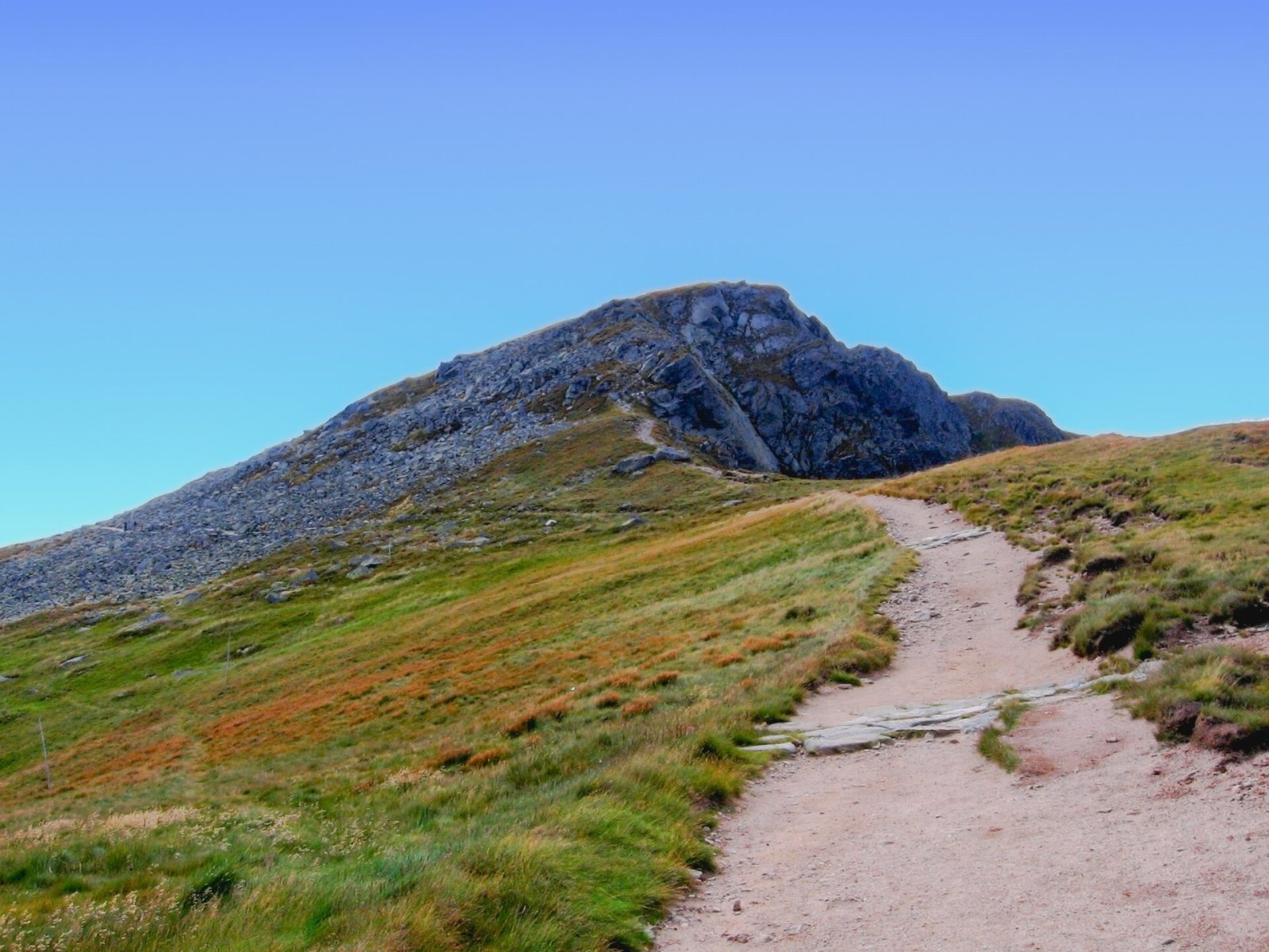
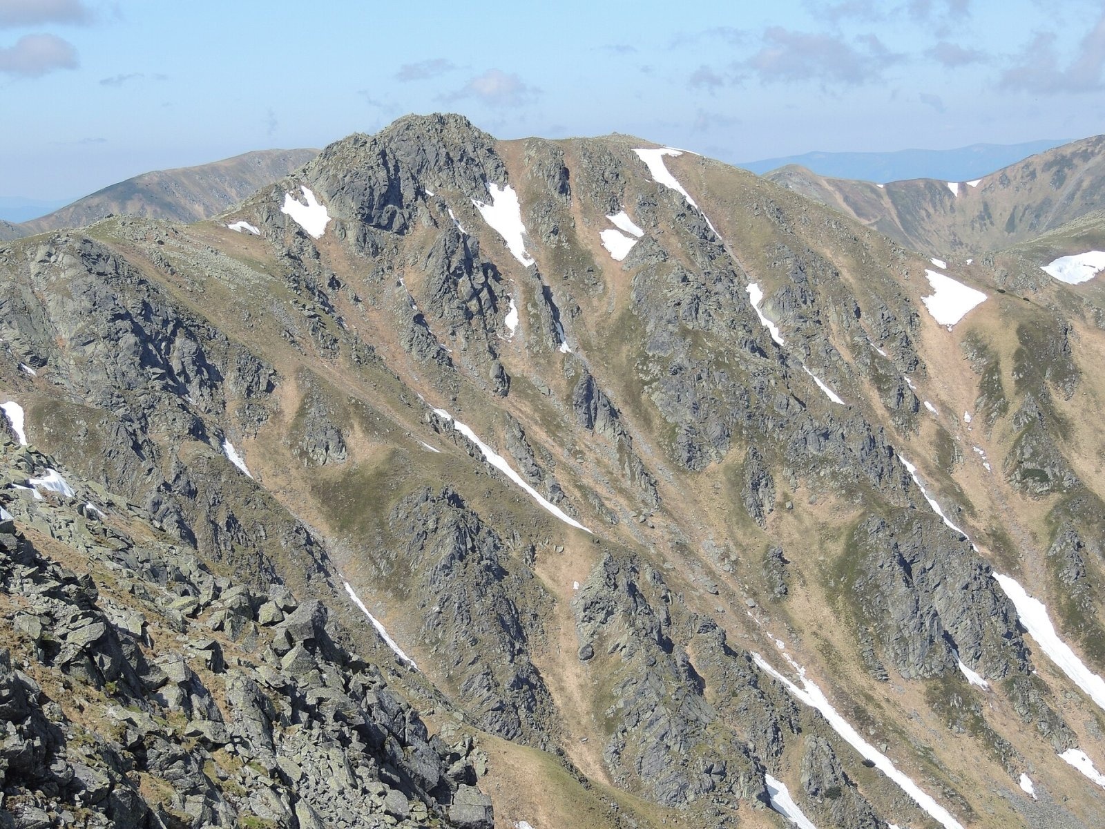
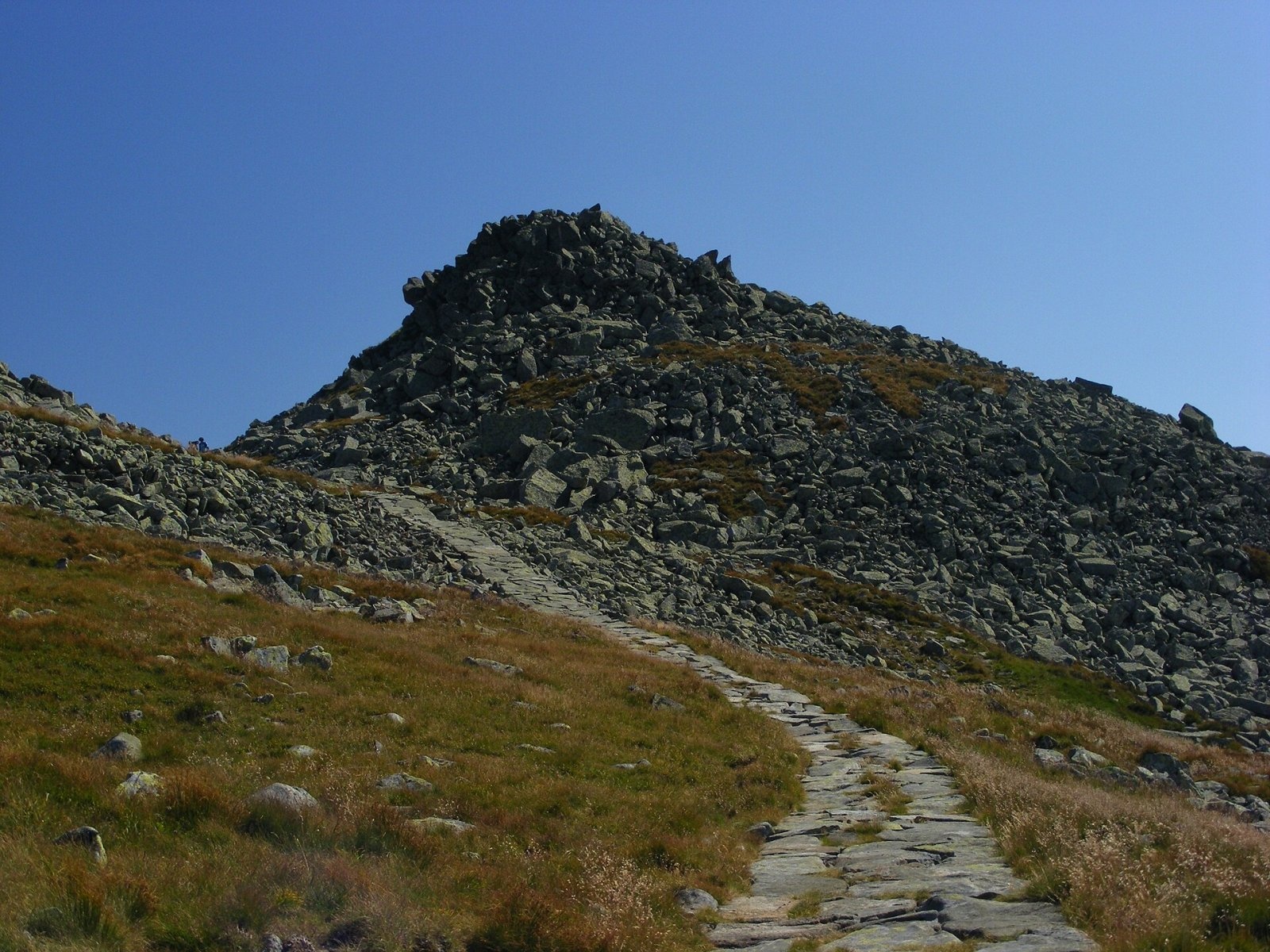
Dereše (Polish Deresze, Hungarian Deres) is a 2004 m summit on the main ridge of the Slovak Low Tatras. It is the fourth highest peak of the range and the lowest of its four two-thousanders (after Ďumbier, Štiavnica and Chopok). It rises above the resort valley of Demänovská Dolina, about 16 km south of Liptovský Mikuláš, on the border of the Žilina and Banská Bystrica regions. The massif belongs to the Low Tatras National Park (NAPANT).
Dereše lies on the ridge between Chopok (2024 m), about 1.4 km to the east, and Kotliská (1937 m) to the west; further west the ridge slowly descends towards Poľana and Chabenec. A massive side ridge with the peaks Pálenica (1658 m) and Baba (1617 m) runs south from the summit, separating the Vajskovská and Bystrá valleys. To the south the slopes are moderate and even, while to the north the mountain falls in sheer walls and deep gullies into the Dereše cirque at the head of the Demänovská dolina. The northern side belongs to the Váh basin, the southern one to the Hron.
How to get there / routes
- The red Heroes of the SNP trail (Cesta hrdinov SNP, part of the European E8) crosses the summit along the main ridge. The quickest way is to take the cable car up Chopok (from Jasná in the north or from Krupová in the south) and walk about 1.4 km west along the ridge. The stretch Chopok – Dereše – sedlo Poľany – Poľana – Kotliská – Chabenec takes about 2 h 25 min.
- Yellow trail from Tále – along the ridge via Mesiačik, Baba, Pálenica and the Príslop saddle: about 4 h 50 min up, 3 h 25 min down.
- Green trail – from Dolná Lehota through the Vajskovská dolina.
What you can see from the top
The rocky ridge and the high summit give a clear all-round view: most Low Tatra peaks, the High and Western Tatras, the Chočské vrchy, Oravská Magura and the Beskids, the Malá and Veľká Fatra, the Štiavnické vrchy, Javorie and the Stolické and Veporské vrchy. To the south you look into the Bystrá and Jasenská valleys and towards Poľana, to the north over Liptov.
Nature and history
The Dereše massif is built of the granites that form the crystalline core of the Low Tatras. The northern cirques are classic glacial basins at the head of the Zadná voda valley. The south-western part of the massif belongs to the Skalka national nature reserve. Chamois can be seen on the ridge and near the summit.
The southern slopes are used for skiing in winter: a ski-lift line runs from the south-east almost to the summit, and to the north-east, in the Demänovská dolina, lies Jasná – the largest ski resort in Slovakia. Dereše is also popular with ski tourers.
Safety, season and rules
The ridge is fully exposed to wind, fog and storms, and the weather changes quickly. The Dereše cirque and the northern slopes are considered avalanche-prone, so in winter and spring follow the avalanche forecast and do not leave the marked route off the pistes. The usual national park rules apply: stay on marked trails and leave no litter. In the Slovak mountains help comes from the Mountain Rescue Service HZS: 18 300 (+421 18 300) or 112.
Interesting facts
- The Hungarian name Deres is regarded as the original form of the mountain's name.
- The scenic path on the summit is surrounded by hundreds of cairns.
Photos: Michal Klajban, CC BY-SA 3.0; Jerzy Opioła, CC BY-SA 4.0; Gower, CC BY-SA 2.5; Volod, CC BY 3.0; maczopikczu, CC BY 3.0; I would appreciate being notified if you use my work outside Wikimedia. More of my work can be found in my personal gallery., CC BY-SA 4.0 — Wikimedia Commons.
Getting there from Ukraine
Border crossings
- Uzhhorod – Vyšné Nemecké — road, 24/7
- Malyi Bereznyi – Ubľa — road, 24/7 For cars and buses; pedestrians not confirmed by the Ukrainian border service, lorries up to 3.5 t.
- Mali Selmentsi – Veľké Slemence (pedestrian) — pedestrian, 09:00–21:00 Kyiv time Pedestrians and cyclists only; inconvenient for the Tatras without onward transport.
- Chop – Čierna nad Tisou (rail) — rail, 24/7
By car
From Uzhhorod to Brezno ≈274 km, ≈3 h 50 min without queues: Uzhhorod – Vyšné Nemecké → I/19 to Košice → D1 via Prešov and Poprad to the exit near Liptovský Hrádok → I/18 and I/72 over the Čertovica Pass to Brezno. To Banská Bystrica ≈322 km, ≈4 h 30 min: D1 to Ružomberok, then I/59 via Donovaly. From Lviv: to Brezno via Uzhok and Ubľa ≈498 km (≈7 h 45 min) or through Poland ≈554 km (≈7 h 05 min); to Banská Bystrica through Poland (Kraków – Chyżne – Trstená – Dolný Kubín – Ružomberok) ≈535 km, ≈7 h 15 min. The D1 requires an e-vignette (eznamka.sk).
Checked 23.10.2026; border crossing hours and timetables change — check before you travel.
Location on the map
Water and shelter nearby
- Spring below Príslop (north-west slope), 1 495 m1.1 km · Not verified · 1 495 m
- Spring below Príslop (north-west slope), 1 466 m1.1 km · Not verified · 1 466 m
- Kamenná Hut under Chopok1.4 km · Standing · 1 985 m
- Spring below Zadný dereš1.7 km · Not verified · 1 574 m
- Spring below Poľana (north-east slope)2.2 km · Not verified · 1 611 m
- Spring below Pálenica (north-east slope), 1 325 m2.3 km · Not verified · 1 325 m
- Spring below Zákľuky (east slope)2.3 km · Not verified · 1 488 m
- Spring below Pálenica (south-west slope)2.7 km · Not verified · 1 516 m
- Spring below Poľana (south-west slope), 1 737 m3 km · Not verified · 1 737 m
Comments
Trails nearby
All trails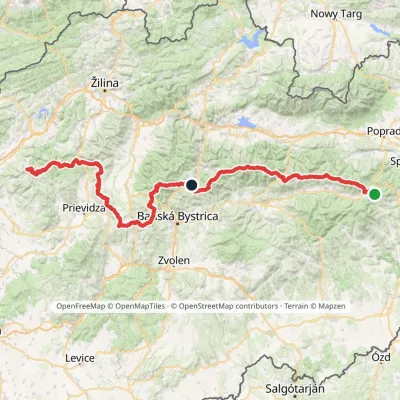 HardMulti-dayMarkedHorná Poruba, U Brdárov Pred ČuntavouElevation profile309–2 004 m241.6 kmascent 15 694 munder 1 km from Dereše
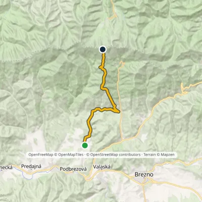 HardTwo-dayMarkedHorná Lehota DerešeElevation profile576–1 944 m17.5 kmascent 1 702 m≈ 8 h walkingunder 1 km from Dereše
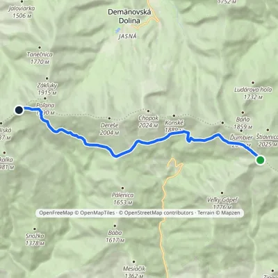 ModerateOne-dayMarkedKrížske Saddle Hut of Gen. M. R. ŠtefánikElevation profile1 455–1 778 m11.3 kmascent 371 m≈ 3.5 h walking1.1 km from Dereše
Nearby attractions
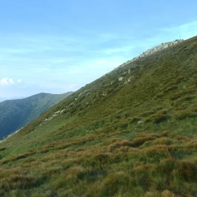 Mountain meadowHole of the Low Tatras between Chopok and ChabenecLaziskoaltitude 1 890 m2.5 km from DerešeThe highest section of the grassy main ridge of the Low Tatras (Nízke Tatry) runs west from Chopok (2,024 m), reached by cable cars from the Jasná resort, over Dereše ...
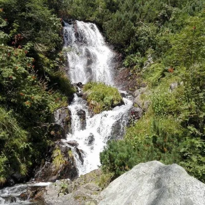 WaterfallVajskovský vodopád (Vajskovský Waterfall)Demänovská Dolina2.6 km from DerešeVajskovský vodopád is a cascading waterfall in the upper part of the Vajskovská dolina on the southern side of the Low Tatras, within the Low Tatras National Park ...
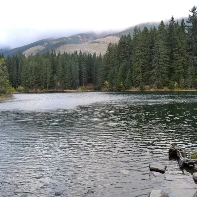 LakeVrbické pleso in the Demänovská valleyDemänovská Dolina3.3 km from DerešeVrbické pleso is the largest natural lake in the Low Tatras. It lies at 1,113 m in the upper western part of the Demänovská dolina, on the right-hand slope of the side...
Craft nearby
All craft places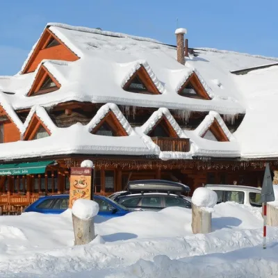 Koliby & Hutsul cuisineKoliba Strachanovka, Jánska valleyLiptovský Ján13 km from DerešeKoliba Strachanovka (Jánska koliba) is a large wooden koliba at the entrance to the Jánska valley in the village of Liptovský Ján, which locals consider one of the...
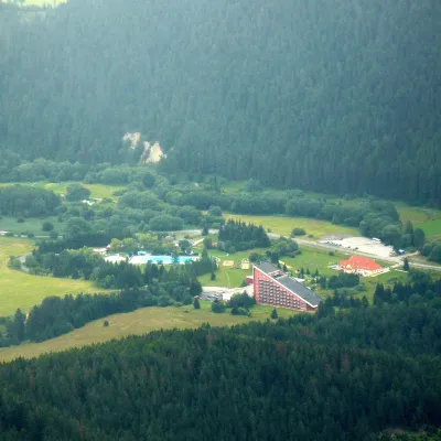 Water parks & thermal poolsTERMAL raj thermal bath, Liptovský JánLiptovský Ján13 km from DerešeLiptovský Ján: thermal water at the entrance to Jánska dolina Liptovský Ján is an old village in southern Liptov, about 10 km from Liptovský Mikuláš, at the entrance...
 Craft beer & breweriesLiptovar brewery, Liptovský Mikuláš: craft beer and brewpubLiptovský Mikuláš16 km from DerešeLiptovský Mikuláš is the main town of the Liptov region, a short drive from the Low and Western Tatras, the Demänovská Valley and the Liptovská Mara reservoir.
 Koliby & Hutsul cuisineSalaš Dechtáre above Liptovská MaraGalovany17 km from DerešeSalaš Dechtáre is a wooden koliba above the Liptovská Mara reservoir that is described as one of Slovakia’s first commercial salaš restaurants.
 Water parks & thermal poolsAquapark TatralandiaLiptovský Mikuláš18 km from DerešeAquapark Tatralandia is a large year-round water leisure complex near Liptovský Mikuláš, on the northern shore of the Liptovská Mara reservoir.
 Water parks & thermal poolsBešeňová Water ParkBešeňová20 km from DerešeBešeňová — the "thermal heart of Liptov" Bešeňová Water Park (Vodný park Bešeňová) lies on the edge of the village of the same name in the western part of the Liptov...
