Vrbické pleso in the Demänovská valley
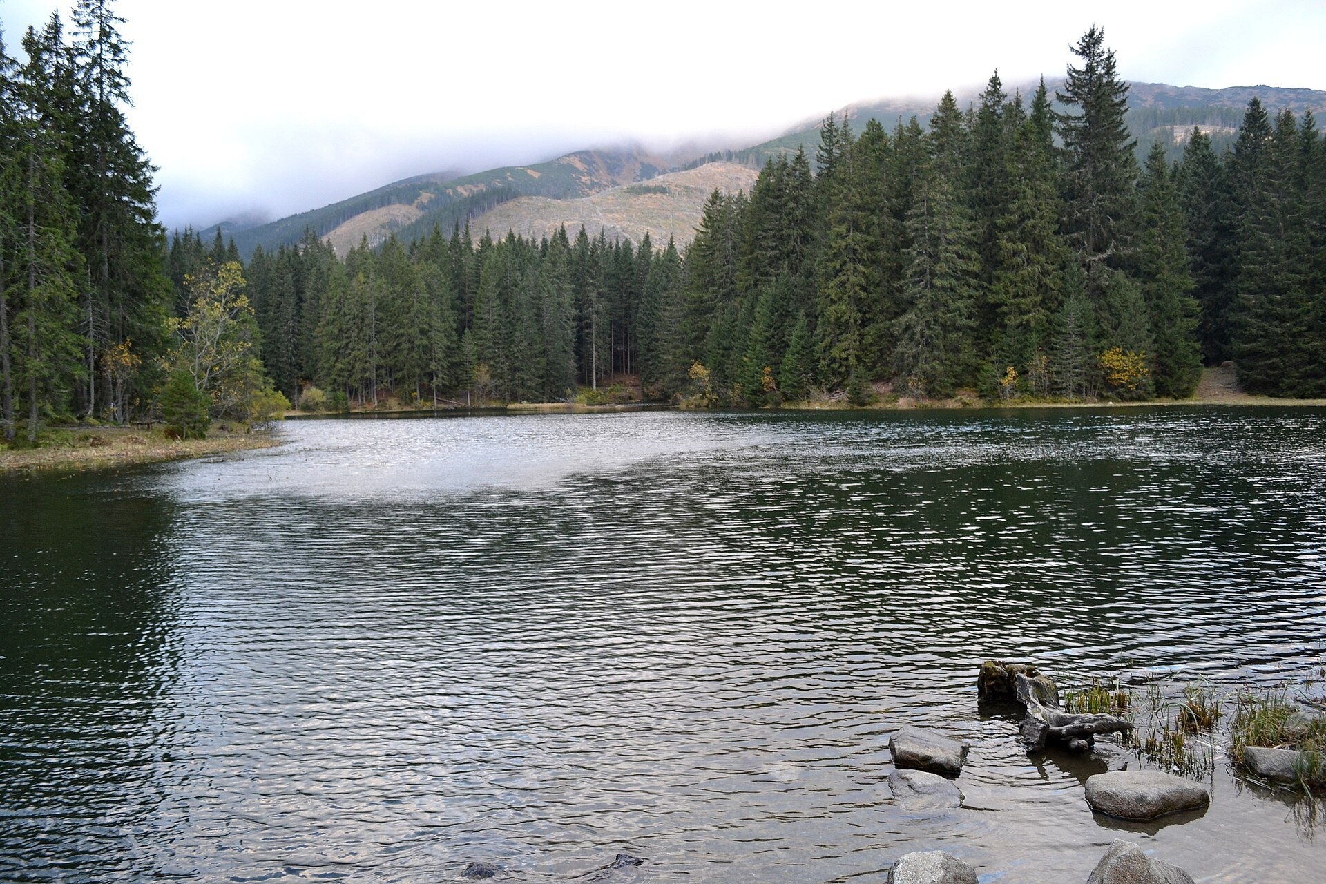
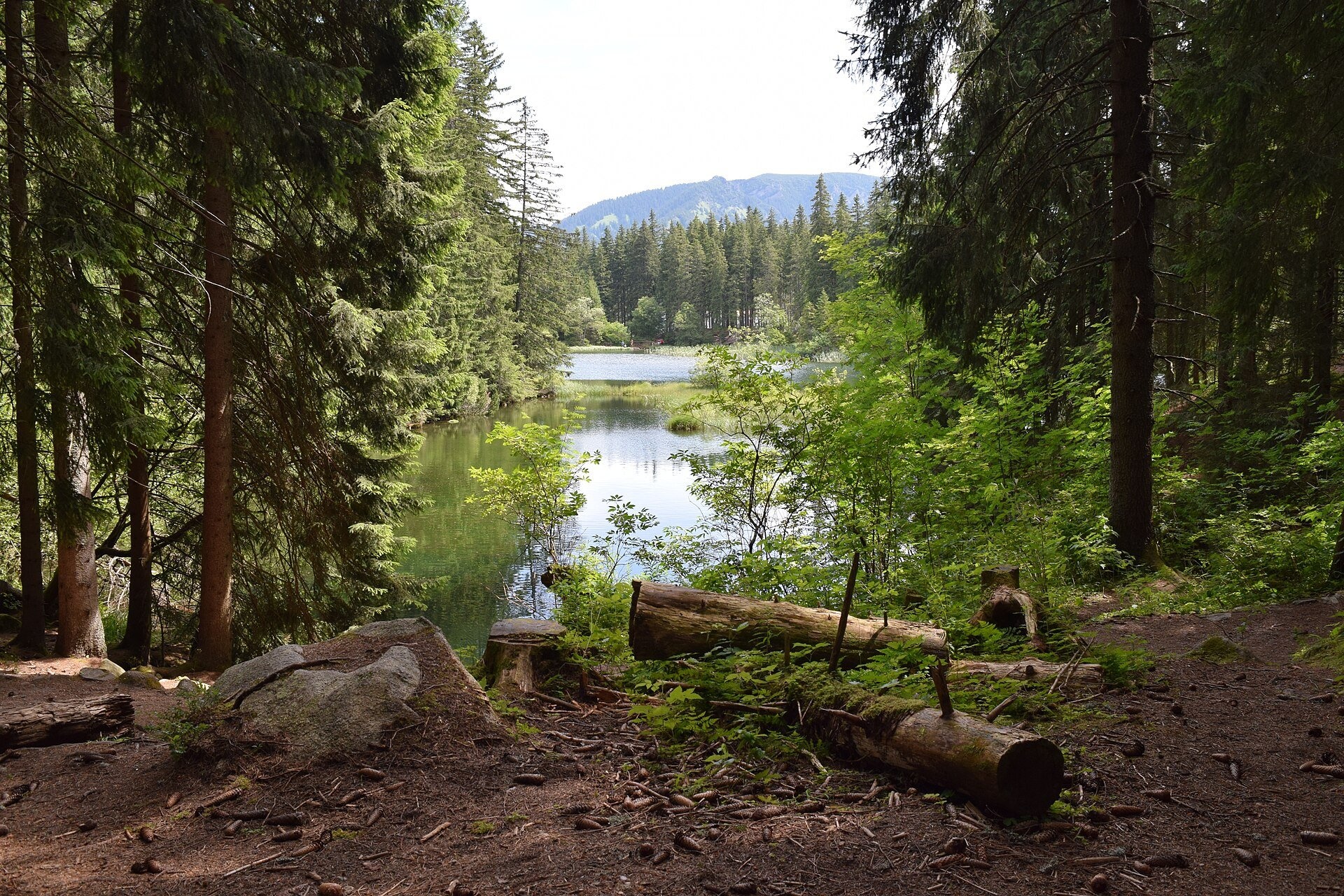
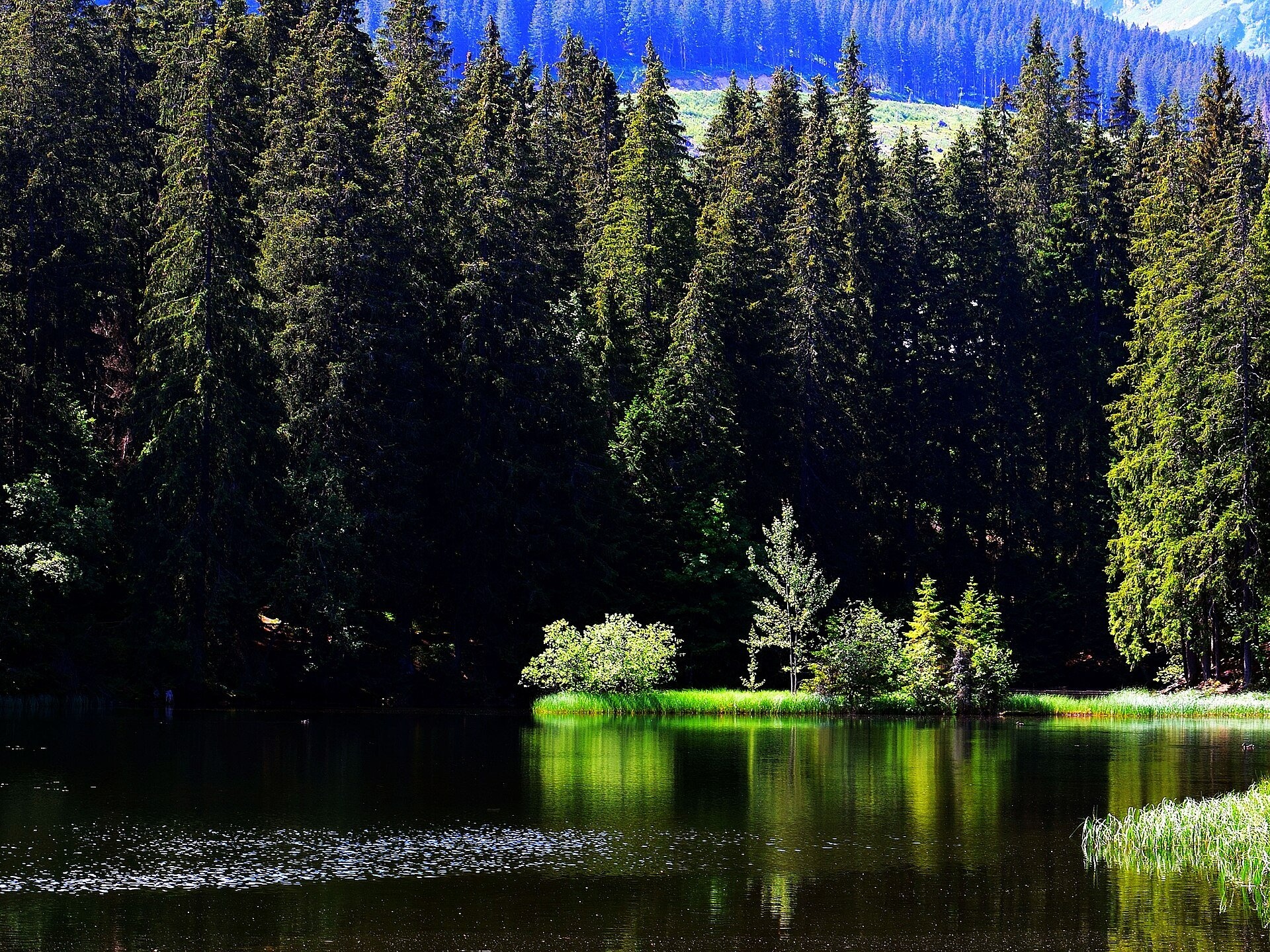
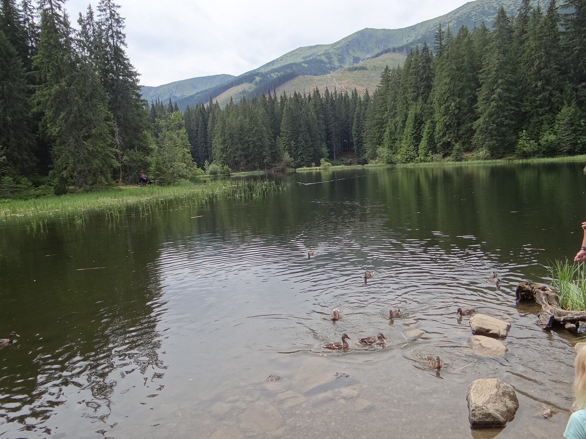
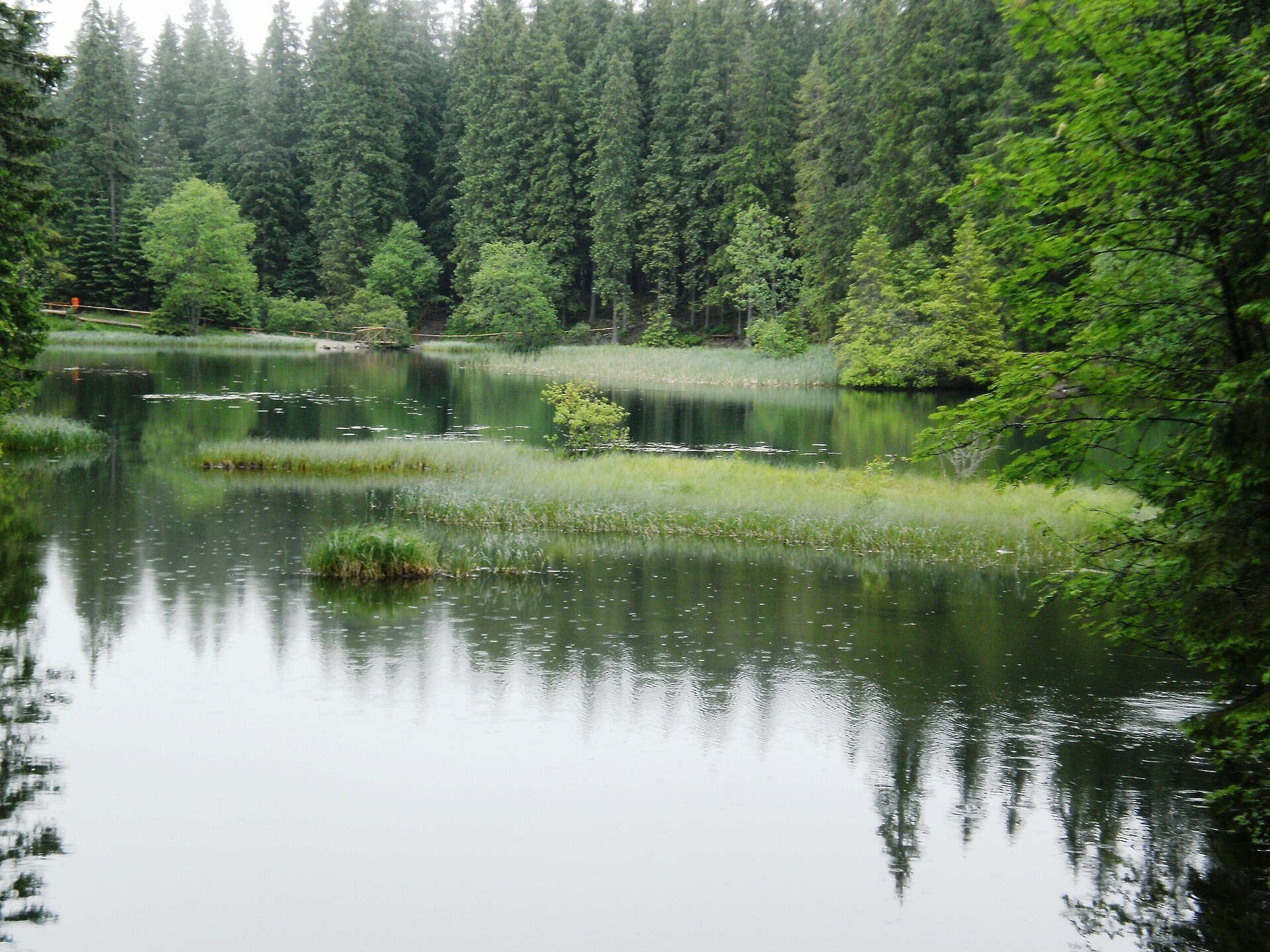
Vrbické pleso is the largest natural lake in the Low Tatras. It lies at 1,113 m in the upper western part of the Demänovská dolina, on the right-hand slope of the side valley of the Zadná voda stream, below the northern slopes of Chopok and Dereše. It is a moraine lake of glacial origin: when the glacier retreated from the northern slopes of Chopok and Dereše, its terminal moraine dammed the valley and water collected behind it. In its origin and character it resembles the tarns of the High Tatras. The water surface covers 0.69 ha according to Wikipedia (the Jasná resort and Liptov region websites give 0.73 ha); it is 115 m long, 62 m wide and up to 8 m deep.
The Otupnianka stream flows out of the lake and joins the Zadná voda about 1.6 km further down. The water level once fluctuated noticeably because of changes in the natural outflow, so sluices were built at the outlet to keep it steady. The banks are boggy in places, and the lake is gradually being overgrown with aquatic plants from its edges; according to the Jasná resort this process has sped up over the last two decades, and a project to save the lake is being prepared. The lake is surrounded mainly by spruce forest with rowan; along its edges there are small patches of peat bog with sphagnum moss, haircap moss, bilberry and round-leaved sundew. Since 1975 the lake has been a national natural monument (0.73 ha, protection level four of five) with a 24.71 ha buffer zone.
What to see and do
- The path around the lake with benches and educational-trail panels — a quiet spot with views of the Low Tatras ridges.
- Reflections of Chopok and Dereše in calm weather; ducks often swim on the water and dragonflies hover by the banks.
- There is a children’s playground nearby, so the lake makes an easy outing for families with small children.
- The lake is a starting point for hikes to Tri vody, Sedlo Poľany and Chopok.
Getting there
The lake lies by the Jasná tourist centre at the end of the road up the Demänovská dolina from Liptovský Mikuláš. According to the resort, from the car park in Jasná you take the «Demänovská dolina» educational path on the right side of the road and then the yellow trail — an easy walk of about 15 minutes. From the lake, the blue trail leads via Repiská to the Demänovská Cave of Liberty (about 1 hour; the route Iľanovo – Chopok runs along the west shore and on to Chopok), and the yellow trail to Tri vody (about 1 hour) and Sedlo Poľany (about 2.5 hours). Polish Wikipedia gives 4 h 15 min for the full ascent from the car park at the Cave of Liberty via Repiská and the lake to Chopok.
Season and safety
The lake is accessible all year; facilities of the Jasná resort stand on its shores. It lies in the Low Tatras National Park and is a national natural monument: do not walk into the boggy banks or trample the peat bogs. Under NAPANT rules (as of October 2026) dogs must be on a lead and muzzled, and within the national park marked trails may be used only from one hour after sunrise until one hour before sunset (the restriction does not apply near villages and roads). We found no official swimming rules, so it is better not to go into the water. Mountain Rescue Service — 18 300, general emergency number — 112.
Nearby
Further down the valley are the Demänovská Cave of Liberty and the Demänovská Ice Cave; the loop route Demänovská jaskyňa Slobody, loop – Demänovská jaskyňa Slobody starts from the Cave of Liberty and passes the lake.
Official website: visitliptov.sk
Photos: Lure, CC BY-SA 4.0, Wikimedia Commons; Arenter1, CC BY-SA 4.0, Wikimedia Commons; Ludmik, CC BY-SA 4.0, Wikimedia Commons; Jerzy Opioła, CC BY-SA 4.0, Wikimedia Commons; Michal Jakubský, CC BY 3.0, Wikimedia Commons; ARKADIUSZ MARKIEWICZ, CC BY-SA 3.0, Wikimedia Commons; Fry72 , Karel FRYDRÝŠEK, CC BY-SA 3.0, Wikimedia Commons.
Getting there from Ukraine
Border crossings
- Uzhhorod – Vyšné Nemecké — road, 24/7
- Malyi Bereznyi – Ubľa — road, 24/7 For cars and buses; pedestrians not confirmed by the Ukrainian border service, lorries up to 3.5 t.
- Mali Selmentsi – Veľké Slemence (pedestrian) — pedestrian, 09:00–21:00 Kyiv time Pedestrians and cyclists only; inconvenient for the Tatras without onward transport.
- Chop – Čierna nad Tisou (rail) — rail, 24/7
By car
From Uzhhorod to Brezno ≈274 km, ≈3 h 50 min without queues: Uzhhorod – Vyšné Nemecké → I/19 to Košice → D1 via Prešov and Poprad to the exit near Liptovský Hrádok → I/18 and I/72 over the Čertovica Pass to Brezno. To Banská Bystrica ≈322 km, ≈4 h 30 min: D1 to Ružomberok, then I/59 via Donovaly. From Lviv: to Brezno via Uzhok and Ubľa ≈498 km (≈7 h 45 min) or through Poland ≈554 km (≈7 h 05 min); to Banská Bystrica through Poland (Kraków – Chyżne – Trstená – Dolný Kubín – Ružomberok) ≈535 km, ≈7 h 15 min. The D1 requires an e-vignette (eznamka.sk).
Checked 23.10.2026; border crossing hours and timetables change — check before you travel.
Location on the map
Comments
Trails nearby
All trails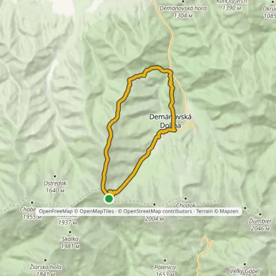 HardTwo-dayMarkedDemänovská jaskyňa Slobody, loop Demänovská jaskyňa SlobodyElevation profile837–1 915 m17.6 kmascent 1 265 m≈ 7 h walkingunder 1 km from Vrbické pleso in the Demänovská valley
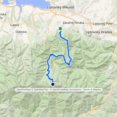 HardMulti-dayMarkedIľanovo ChopokElevation profile652–2 003 m26.7 kmascent 2 715 m≈ 12 h walkingunder 1 km from Vrbické pleso in the Demänovská valley
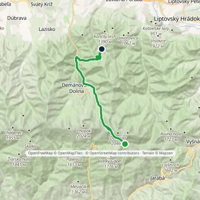 ModerateTwo-dayMarkedChata generála M. R. Štefánika Za VrátamiElevation profile802–1 919 m17.5 kmascent 623 m≈ 5.5 h walking1.7 km from Vrbické pleso in the Demänovská valley
Nearby attractions
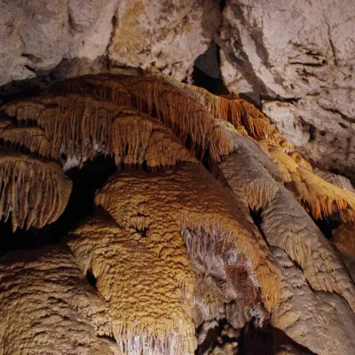 NatureDemänovská Cave of Liberty3.2 km from Vrbické pleso in the Demänovská valleyThe Demänovská Cave of Liberty (Demänovská jaskyňa slobody) lies on the right side of the Demänová valley on the northern slopes of the Low Tatras, 13 km south of...
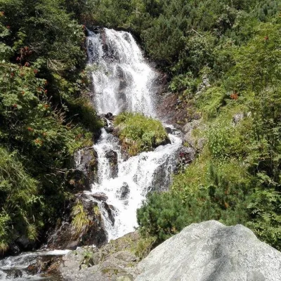 WaterfallVajskovský vodopád (Vajskovský Waterfall)4.9 km from Vrbické pleso in the Demänovská valleyVajskovský vodopád is a cascading waterfall in the upper part of the Vajskovská dolina on the southern side of the Low Tatras, within the Low Tatras National Park ...
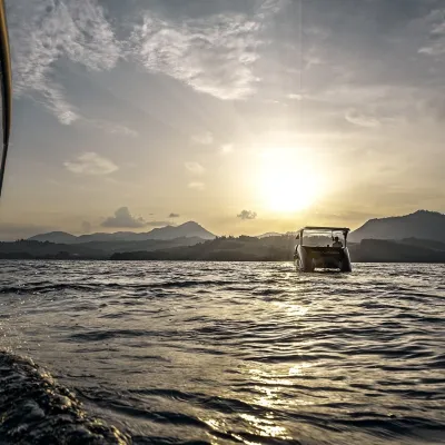 LakeLiptovská Mara16 km from Vrbické pleso in the Demänovská valleyLiptovská Mara is a large reservoir on the Váh river in central Liptov, by the town of Liptovský Mikuláš, with views of the Western and Low Tatras.
Craft nearby
All craft places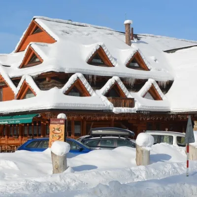 Koliby & Hutsul cuisineKoliba Strachanovka, Jánska valley10 km from Vrbické pleso in the Demänovská valleyKoliba Strachanovka (Jánska koliba) is a large wooden koliba at the entrance to the Jánska valley in the village of Liptovský Ján, which locals consider one of the...
 Water parks & thermal poolsTERMAL raj thermal bath, Liptovský Ján10 km from Vrbické pleso in the Demänovská valleyLiptovský Ján: thermal water at the entrance to Jánska dolina Liptovský Ján is an old village in southern Liptov, about 10 km from Liptovský Mikuláš, at the entrance...
 Koliby & Hutsul cuisineSalaš Dechtáre above Liptovská Mara14 km from Vrbické pleso in the Demänovská valleySalaš Dechtáre is a wooden koliba above the Liptovská Mara reservoir that is described as one of Slovakia’s first commercial salaš restaurants.
 Water parks & thermal poolsAquapark Tatralandia15 km from Vrbické pleso in the Demänovská valleyAquapark Tatralandia is a large year-round water leisure complex near Liptovský Mikuláš, on the northern shore of the Liptovská Mara reservoir.
 Water parks & thermal poolsBešeňová Water Park17 km from Vrbické pleso in the Demänovská valleyBešeňová — the "thermal heart of Liptov" Bešeňová Water Park (Vodný park Bešeňová) lies on the edge of the village of the same name in the western part of the Liptov...
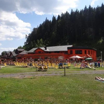 Water parks & thermal poolsLúčky Spa and AQUA-VITAL Park23 km from Vrbické pleso in the Demänovská valleyLúčky Spa (Kúpele Lúčky) lies in a quiet valley beneath the Choč Mountains, in the village of Lúčky near Ružomberok.
