Mountain shelter
M. R. Štefánik Hut
Slovakia · Low Tatras range · 1 740 m


- Photo: Milan Bališin · CC BY-SA 4.0 · Wikimedia Commons
- Photo: Michal Klajban · CC BY-SA 3.0 · Wikimedia Commons
- Photo: Jerzy Opioła · CC BY-SA 4.0 · Wikimedia Commons
- Photo: Pudelek (Marcin Szala) · CC BY-SA 3.0 · Wikimedia Commons
Condition
StandingNo hikers’ reports yet. According to open data the hut is open all year — check its website or call before setting out.
The hut is open; check its website or call before setting out.
Last edited on the OSM map 07.01.2026
- 1 740 m
- Sleeps up to 48
- Meals served
- All year
Practical info
- Run by: KST
- Local name: Chata generála Milana Rastislava Štefánika (Štefánička)
- Season: All year
- Food: Kitchen or buffet
- Built: 1928
- Contacts: chatamrs.sk
About
The General Milan Rastislav Štefánik Hut, nicknamed Štefánička, stands at 1740 m in the saddle below Ďumbier, the highest peak of the Low Tatras. It is the longest-running high-mountain hut in the range and a key crossroads on the main ridge.
After a small stone shelter on the summit of Ďumbier disappeared, the Czechoslovak Tourist Club decided to build a new hut in the saddle. The foundation stone was laid on 20 July 1924; construction took four years and the hut was formally opened on 9 September 1928. Partisans hid here during the Slovak National Uprising, and in October 1944 an artillery shell hit the dining room. Under socialism it was called the Hut of the Heroes of the SNP; Štefánik's name returned in 1990.
The hut has six eight-bed rooms and a dining room serving hot food, with a terrace buffet in summer. All supplies are carried up the Trangošská dolina by porters. Nearby is the Cave of Dead Bats, the only show cave in Slovakia's high mountains. Mountain rescue (HZS): 18 300.
On the map
Coordinates: 48.92663, 19.64967
How to get there
from the Trangoška mountain hotel on the green trail past the Cave of Dead Bats, about 1 h 55 min; or the red Path of the Heroes of the SNP along the ridge from Chopok.
Trails nearby
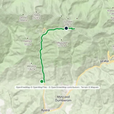 ModerateOne-dayMarkedBrezno Hut of General M.R.ŠtefánikElevation profile687–1 726 m10 kmascent 1 025 m≈ 4.5 h walking
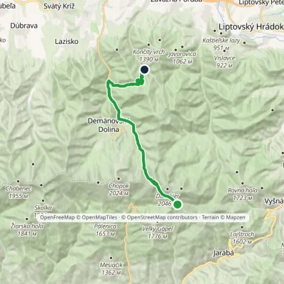 ModerateTwo-dayMarkedChata generála M. R. Štefánika Za VrátamiElevation profile802–1 919 m17.5 kmascent 623 m≈ 5.5 h walking
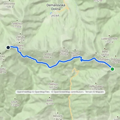 ModerateOne-dayMarkedKrížske Saddle Hut of Gen. M. R. ŠtefánikElevation profile1 455–1 778 m11.3 kmascent 371 m≈ 3.5 h walking
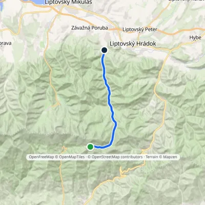 ModerateOne-dayMarkedChata gen. M. R. Štefánika Liptovský Ján, Hotel ĎumbierElevation profile665–1 729 m15.6 kmascent 7 m≈ 4 h walking
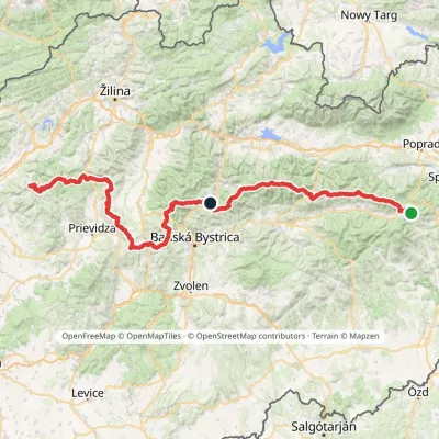 HardMulti-dayMarkedHorná Poruba, U Brdárov Pred ČuntavouElevation profile309–2 004 m241.6 kmascent 15 694 m
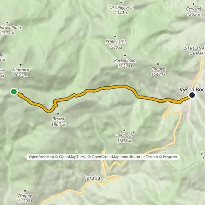 ModerateOne-dayMarkedChata generála M. R. Štefánika Vyšná BocaElevation profile954–1 777 m8.8 kmascent 56 m≈ 2.5 h walking
Report the condition
Been here recently? Tell us what you saw and add photos — your report appears on the page right away with today’s date.
