Krúpova hoľa
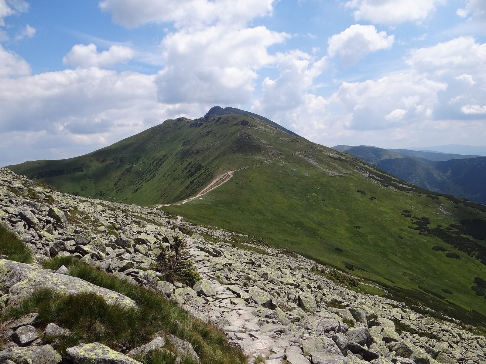
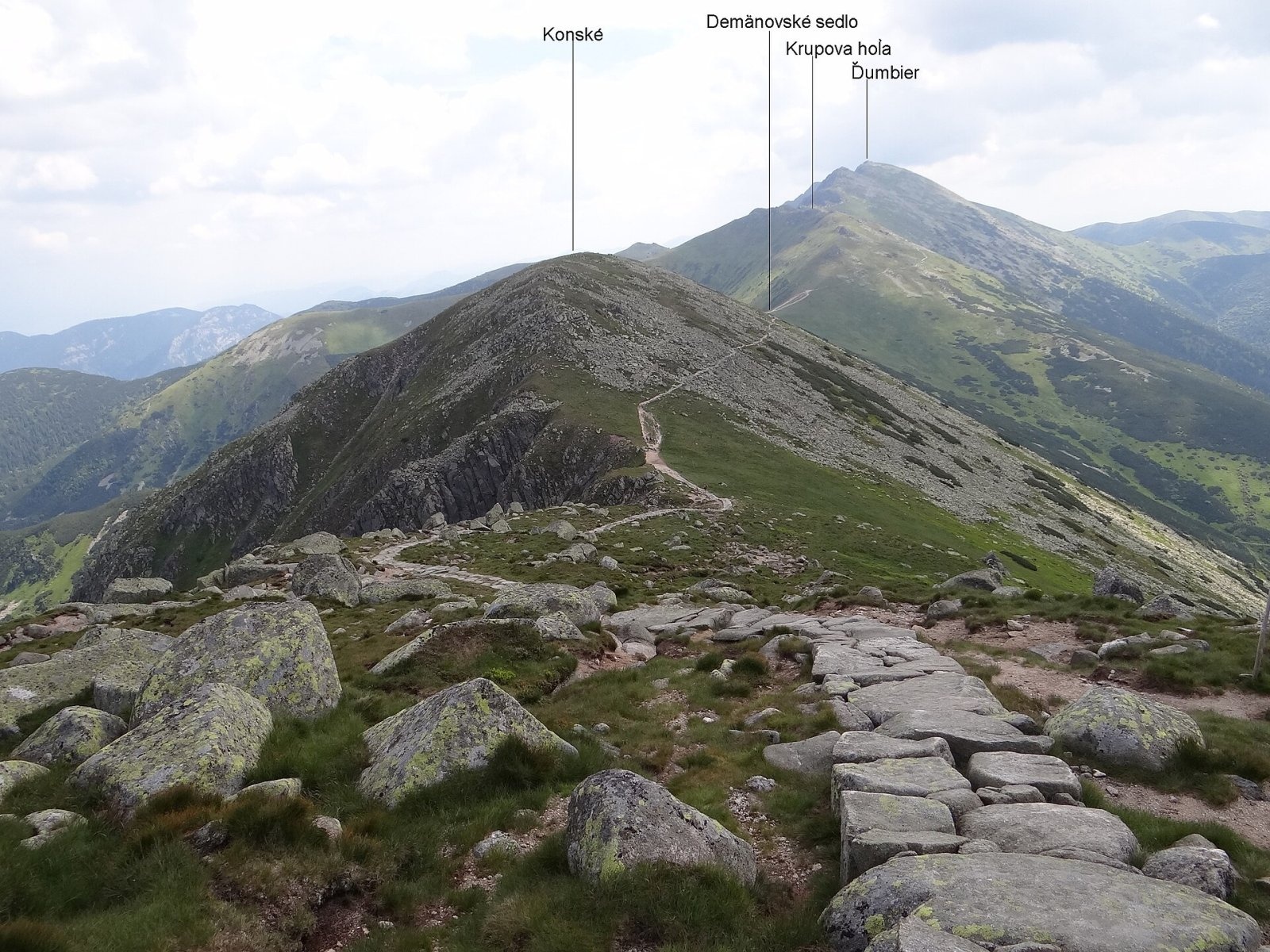
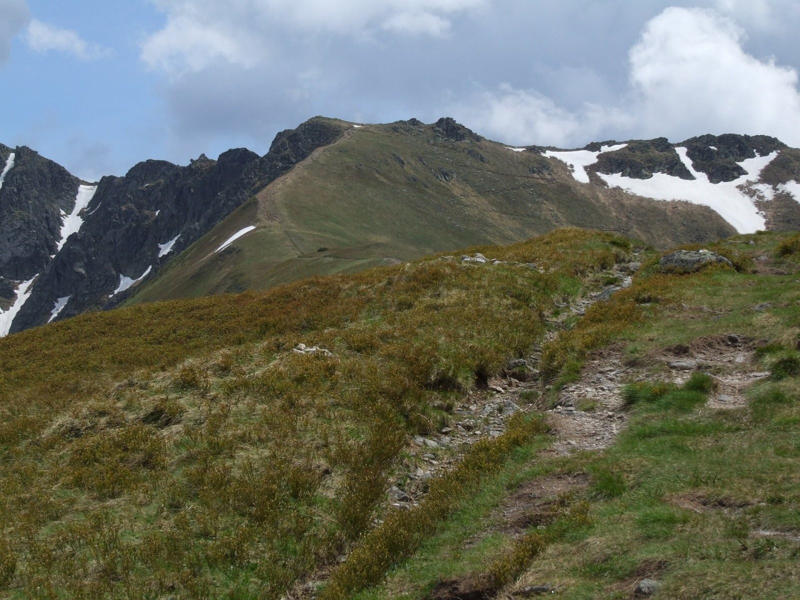
Krúpova hoľa is a 1922 m rocky peak on the main ridge of the Low Tatras (Nízke Tatry) in Slovakia. It lies in the highest, Ďumbier part of the range, above Demänovská Dolina, about 14 km north of the town of Brezno. Only the shallow Krúpovo sedlo saddle (about 1890–1910 m) separates it from Ďumbier (2046 m), the highest peak of the Low Tatras, about 900 m to the south-east. To the west the Demänovské sedlo saddle (1756 m) separates Krúpova hoľa from the next top, Konské (about 1880 m), with Chopok beyond. The summit carries the border between the Žilina and Banská Bystrica Regions and the Liptovský Mikuláš and Brezno Districts. The nearest settlement is Demänovská Dolina (about 5 km north-west); to the north lie Závažná Poruba and Liptovský Ján, to the east Malužiná, Nižná and Vyšná Boca, and to the south Mýto pod Ďumbierom, Bystrá and Horná Lehota.
On its own the summit does not stand out much in the Low Tatras skyline – it is just a slightly higher section of the rocky main ridge. It is, however, a junction: a mighty side ridge runs north from it over Prašivá (1667 m), Tanečnica (1681 m) and Krakova hoľa (1752 m), dividing the Demänovská and Jánska valleys. Krúpova hoľa looks most striking from the Široká dolina to the north-west.
How to get there / routes
This part of the Low Tatras has a dense network of marked trails, and the cable car to nearby Chopok makes access easier.
- Red trail – the ridge Path of the Heroes of the Slovak National Uprising (Cesta hrdinov SNP, part of the E8): from Chopok via Konské and Demänovské sedlo, or from the east from the Štefánikova chata hut. The path traverses the south slope just below the summit between Demänovské and Krúpovo sedlo; OpenStreetMap shows a short spur to the top itself.
- North ridge – a marked trail from the Kosienky junction via the Javorie saddle (1487 m), Tanečnica and Prašivá to Demänovské sedlo (green on current maps).
- From the Demänovská dolina – a marked trail from the Cave of Liberty (Jaskyňa slobody).
Krúpova hoľa is the only place from which a marked spur leads to the highest summit of the range, Ďumbier; in winter Ďumbier can also be climbed directly from the Štefánikova chata.
What you can see from the top
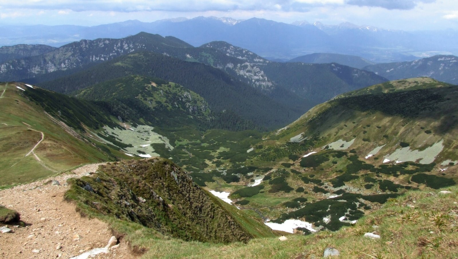
The high grassy and rocky ridge gives an all-round panorama. In good conditions you can see many Low Tatras peaks as well as the Tatras, the Choč Mountains, Oravská Magura and the Beskids, the Lesser Fatra, Vtáčnik, the Kremnica and Štiavnica Mountains, Javorie, Poľana and the Vepor Mountains. Close by are Ďumbier and Štiavnica to the east, Chopok and Konské to the west, and the Ďumbier cirque right below you to the north-east.
Nature and history
The summit is built of Ďumbier-type granite. The southern slope drops moderately into the Trangoška valley and is strewn with huge boulders. The north-eastern slopes fall in rocky walls into the glacial Ďumbier cirque at the head of the Bystrá dolina – one of the finest cirques in the range. Water from the northern side flows via the Demänovka and the Bystrá stream to the Váh, and from the southern slopes via the Bystrianka to the Hron.
Krúpova hoľa lies in Low Tatras National Park (NAPANT), and its rocky north-eastern slopes belong to the Ďumbier national nature reserve. A 19th-century Polish geographical dictionary mentions the mountain as "Krupowa Hala".
Safety, season and rules
The ridge is fully exposed: strong wind is common, summer brings thunderstorms, and fog quickly hides the path among the boulders. In winter the ridge is snowbound, blizzards occur and the slopes above the cirques are avalanche-prone – go then only with experience and winter gear. Keep away from the edge of the north-eastern cliffs. In the national park stay on marked trails and check NAPANT notices and avalanche information before setting out. Slovak Mountain Rescue Service (HZS): 18 300 (+421 18 300); general emergency number 112.
Interesting facts
- The height used to be given as 1927 m; modern measurements give 1922 m.
- The marked spur to Ďumbier, the highest summit of the Low Tatras, starts at Krúpova hoľa.
- The Krakova hoľa ridge, which divides two large northern valleys, branches off here.
Photos: Jerzy Opioła, CC BY-SA 4.0; Jerzy Opioła, CC BY-SA 4.0; Pudelek (Marcin Szala), CC BY-SA 4.0; Pudelek (Marcin Szala), CC BY-SA 4.0 — Wikimedia Commons.
Getting there from Ukraine
Border crossings
- Uzhhorod – Vyšné Nemecké — road, 24/7
- Malyi Bereznyi – Ubľa — road, 24/7 For cars and buses; pedestrians not confirmed by the Ukrainian border service, lorries up to 3.5 t.
- Mali Selmentsi – Veľké Slemence (pedestrian) — pedestrian, 09:00–21:00 Kyiv time Pedestrians and cyclists only; inconvenient for the Tatras without onward transport.
- Chop – Čierna nad Tisou (rail) — rail, 24/7
By car
From Uzhhorod to Brezno ≈274 km, ≈3 h 50 min without queues: Uzhhorod – Vyšné Nemecké → I/19 to Košice → D1 via Prešov and Poprad to the exit near Liptovský Hrádok → I/18 and I/72 over the Čertovica Pass to Brezno. To Banská Bystrica ≈322 km, ≈4 h 30 min: D1 to Ružomberok, then I/59 via Donovaly. From Lviv: to Brezno via Uzhok and Ubľa ≈498 km (≈7 h 45 min) or through Poland ≈554 km (≈7 h 05 min); to Banská Bystrica through Poland (Kraków – Chyżne – Trstená – Dolný Kubín – Ružomberok) ≈535 km, ≈7 h 15 min. The D1 requires an e-vignette (eznamka.sk).
Checked 23.10.2026; border crossing hours and timetables change — check before you travel.
Location on the map
Water and shelter nearby
- Spring below Kozie chrbty (north-west slope), 1 454 m1.2 km · Not verified · 1 454 m
- Spring below Konské (south-east slope)1.3 km · Not verified · 1 544 m
- Spring below Kozie chrbty (north-west slope), 1 546 m1.3 km · Not verified · 1 546 m
- Spring below Veľký Gápeľ (north-west slope), 1 232 m1.6 km · Not verified · 1 232 m
- Spring below Kozie chrbty (north-east slope)1.7 km · Not verified · 1 748 m
- Spring below Veľký Gápeľ (north-west slope), 1 212 m1.7 km · Not verified · 1 212 m
- Spring below Konské (south slope)1.8 km · Not verified · 1 308 m
- Spring below Veľký Gápeľ (north slope), 1 569 m1.9 km · Not verified · 1 569 m
- Spring below Kozie chrbty (south-west slope)1.9 km · Not verified · 1 572 m
- Drinking water below Kozie chrbty2 km · Not verified · 1 714 m
- M. R. Štefánik Hut2 km · Standing · 1 740 m
- Spring below Veľký Gápeľ (north slope), 1 581 m2.1 km · Not verified · 1 581 m
- Bystrá2.1 km · Not verified · 1 605 m
- Spring below Kozie chrbty (south-east slope), 1 547 m2.1 km · Not verified · 1 547 m
- Štiavnica Spring, 1 607 m2.2 km · Not verified · 1 607 m
- Spring below Kozie chrbty (south-east slope), 1 488 m2.2 km · Not verified · 1 488 m
Comments
Trails nearby
All trails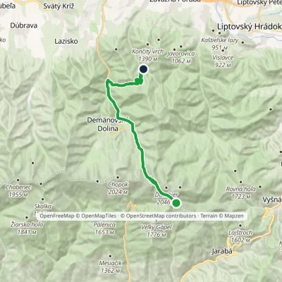 ModerateTwo-dayMarkedChata generála M. R. Štefánika Za VrátamiElevation profile802–1 919 m17.5 kmascent 623 m≈ 5.5 h walkingunder 1 km from Krúpova hoľa
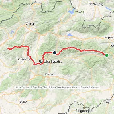 HardMulti-dayMarkedHorná Poruba, U Brdárov Pred ČuntavouElevation profile309–2 004 m241.6 kmascent 15 694 munder 1 km from Krúpova hoľa
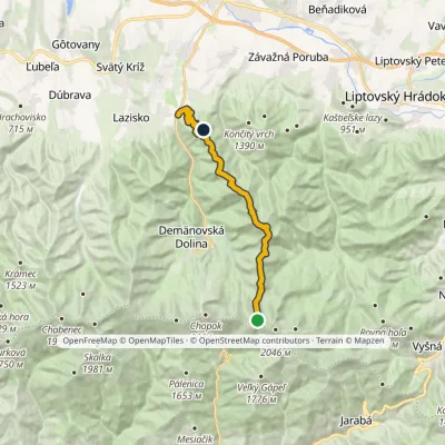 ModerateTwo-dayMarkedATC Bystrina Krúpove sedloElevation profile696–1 825 m16.4 kmascent 976 m≈ 6 h walkingunder 1 km from Krúpova hoľa
Nearby attractions
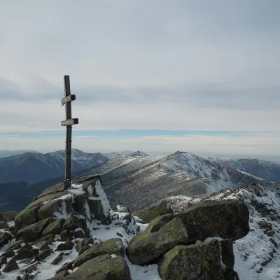 PeakĎumbierDemänovská Dolinaaltitude 2 046 munder 1 km from Krúpova hoľaĎumbier (Polish Dziumbier, Hungarian Gyömbér) is the highest peak of the Low Tatras at 2,046 m (2,043 m on older maps).
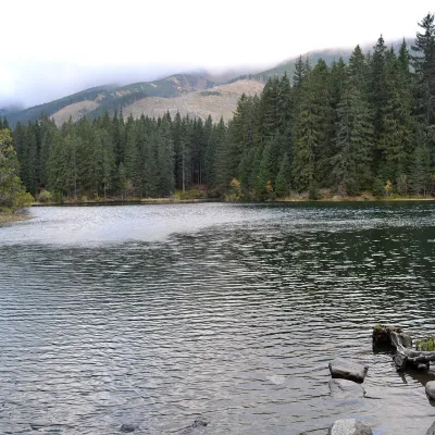 LakeVrbické pleso in the Demänovská valleyDemänovská Dolina5.2 km from Krúpova hoľaVrbické pleso is the largest natural lake in the Low Tatras. It lies at 1,113 m in the upper western part of the Demänovská dolina, on the right-hand slope of the side...
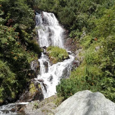 WaterfallVajskovský vodopád (Vajskovský Waterfall)Demänovská Dolina6.8 km from Krúpova hoľaVajskovský vodopád is a cascading waterfall in the upper part of the Vajskovská dolina on the southern side of the Low Tatras, within the Low Tatras National Park ...
Craft nearby
All craft places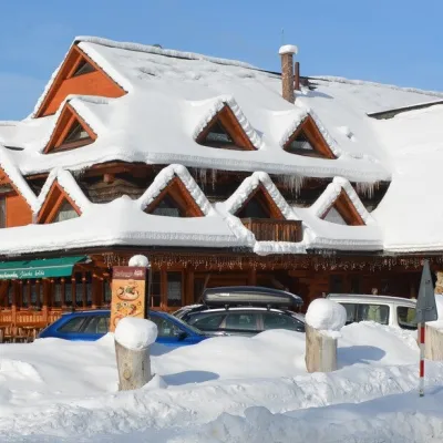 Koliby & Hutsul cuisineKoliba Strachanovka, Jánska valleyLiptovský Ján11 km from Krúpova hoľaKoliba Strachanovka (Jánska koliba) is a large wooden koliba at the entrance to the Jánska valley in the village of Liptovský Ján, which locals consider one of the...
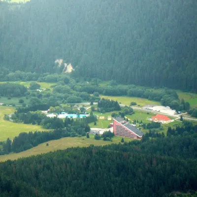 Water parks & thermal poolsTERMAL raj thermal bath, Liptovský JánLiptovský Ján12 km from Krúpova hoľaLiptovský Ján: thermal water at the entrance to Jánska dolina Liptovský Ján is an old village in southern Liptov, about 10 km from Liptovský Mikuláš, at the entrance...
 Craft beer & breweriesLiptovar brewery, Liptovský Mikuláš: craft beer and brewpubLiptovský Mikuláš16 km from Krúpova hoľaLiptovský Mikuláš is the main town of the Liptov region, a short drive from the Low and Western Tatras, the Demänovská Valley and the Liptovská Mara reservoir.
 Koliby & Hutsul cuisineSalaš Dechtáre above Liptovská MaraGalovany19 km from Krúpova hoľaSalaš Dechtáre is a wooden koliba above the Liptovská Mara reservoir that is described as one of Slovakia’s first commercial salaš restaurants.
 Water parks & thermal poolsAquapark TatralandiaLiptovský Mikuláš19 km from Krúpova hoľaAquapark Tatralandia is a large year-round water leisure complex near Liptovský Mikuláš, on the northern shore of the Liptovská Mara reservoir.
 Water parks & thermal poolsBešeňová Water ParkBešeňová22 km from Krúpova hoľaBešeňová — the "thermal heart of Liptov" Bešeňová Water Park (Vodný park Bešeňová) lies on the edge of the village of the same name in the western part of the Liptov...
