Ďumbier
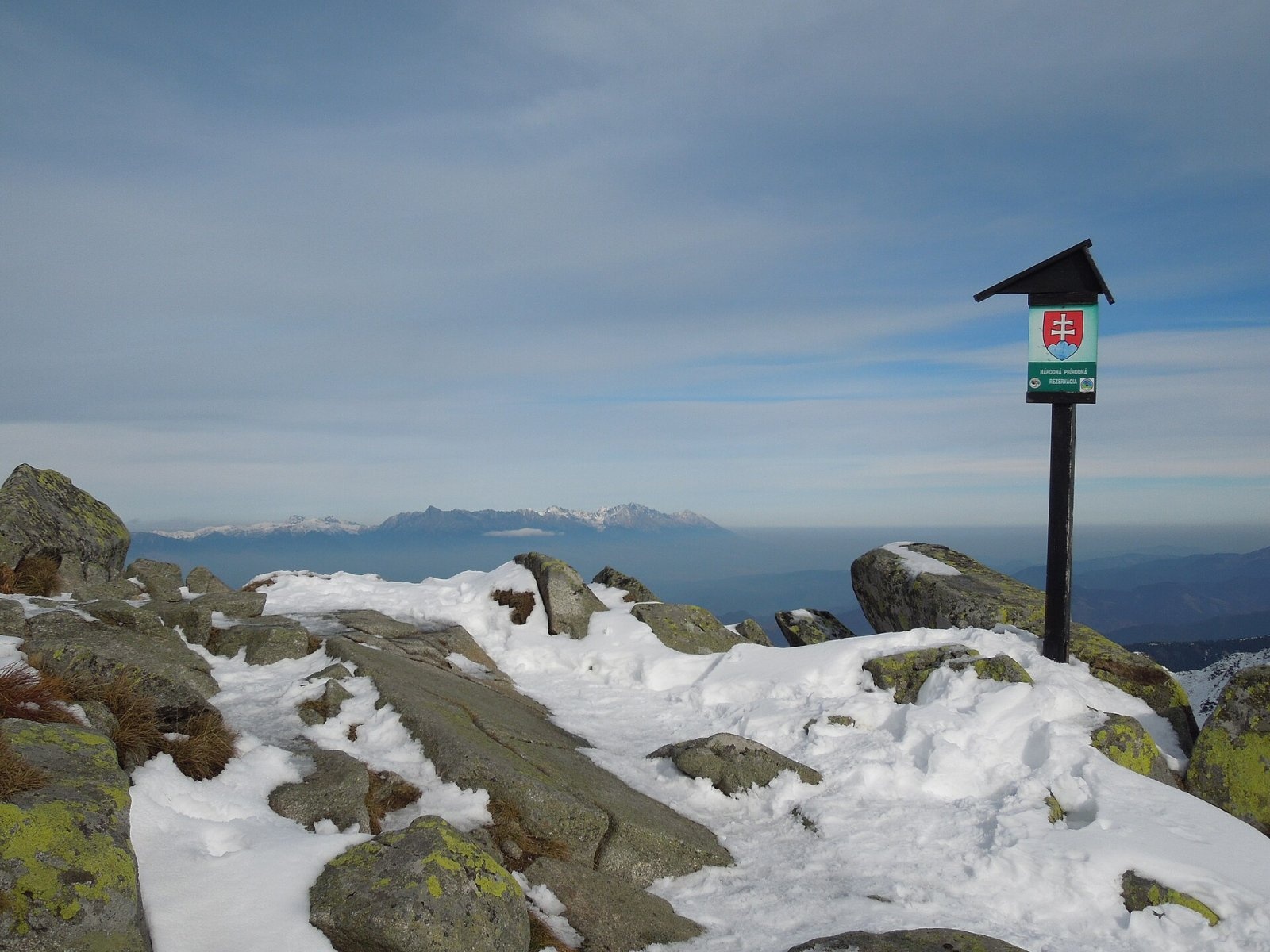
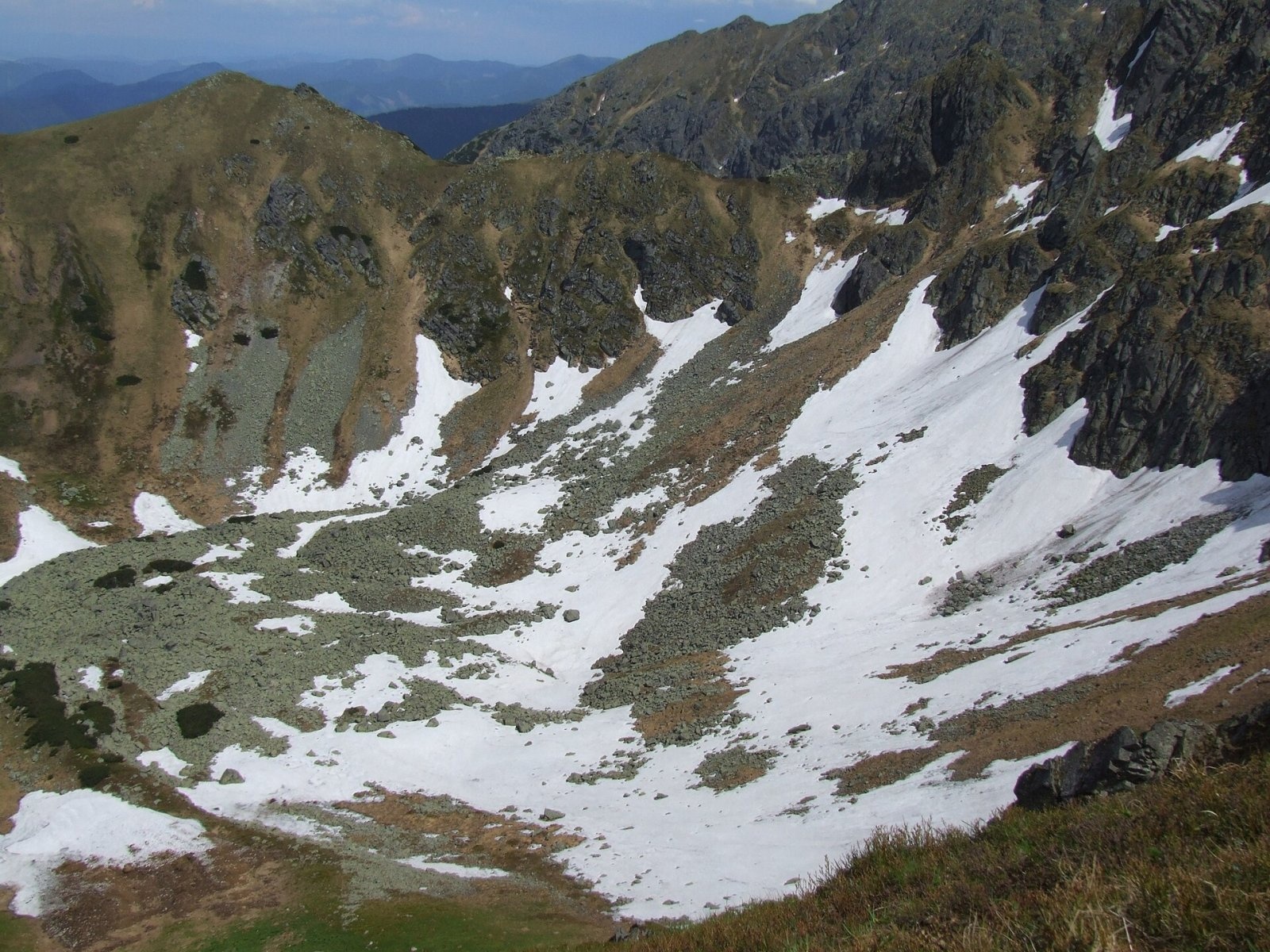
Ďumbier (Polish Dziumbier, Hungarian Gyömbér) is the highest peak of the Low Tatras at 2,046 m (2,043 m on older maps). It stands on the main ridge between Krúpova hoľa (about 1,922 m) and Štiavnica (2,025 m), some 15 km north of the town of Brezno, on the border of the Žilina and Banská Bystrica regions. It is the highest point of Brezno district and of the whole Horehronie region. The summit lies in the Low Tatras National Park, and the northern slopes are also part of the strictly protected Ďumbier National Nature Reserve.
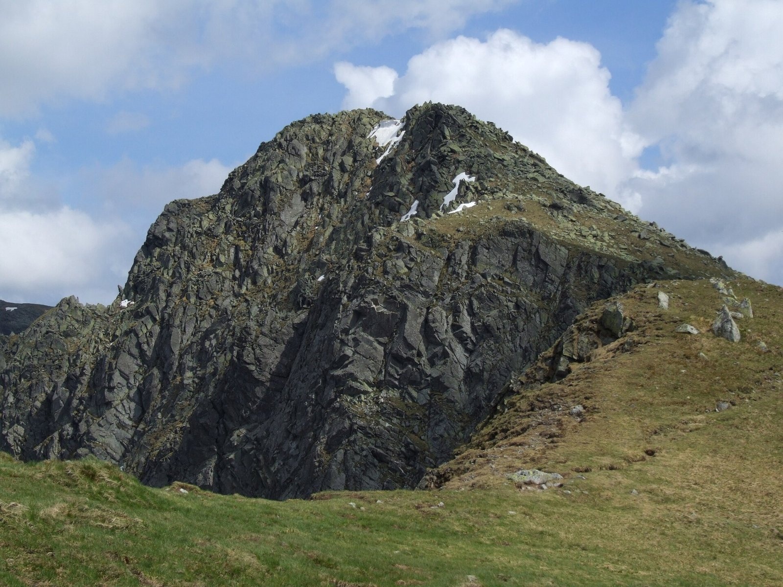
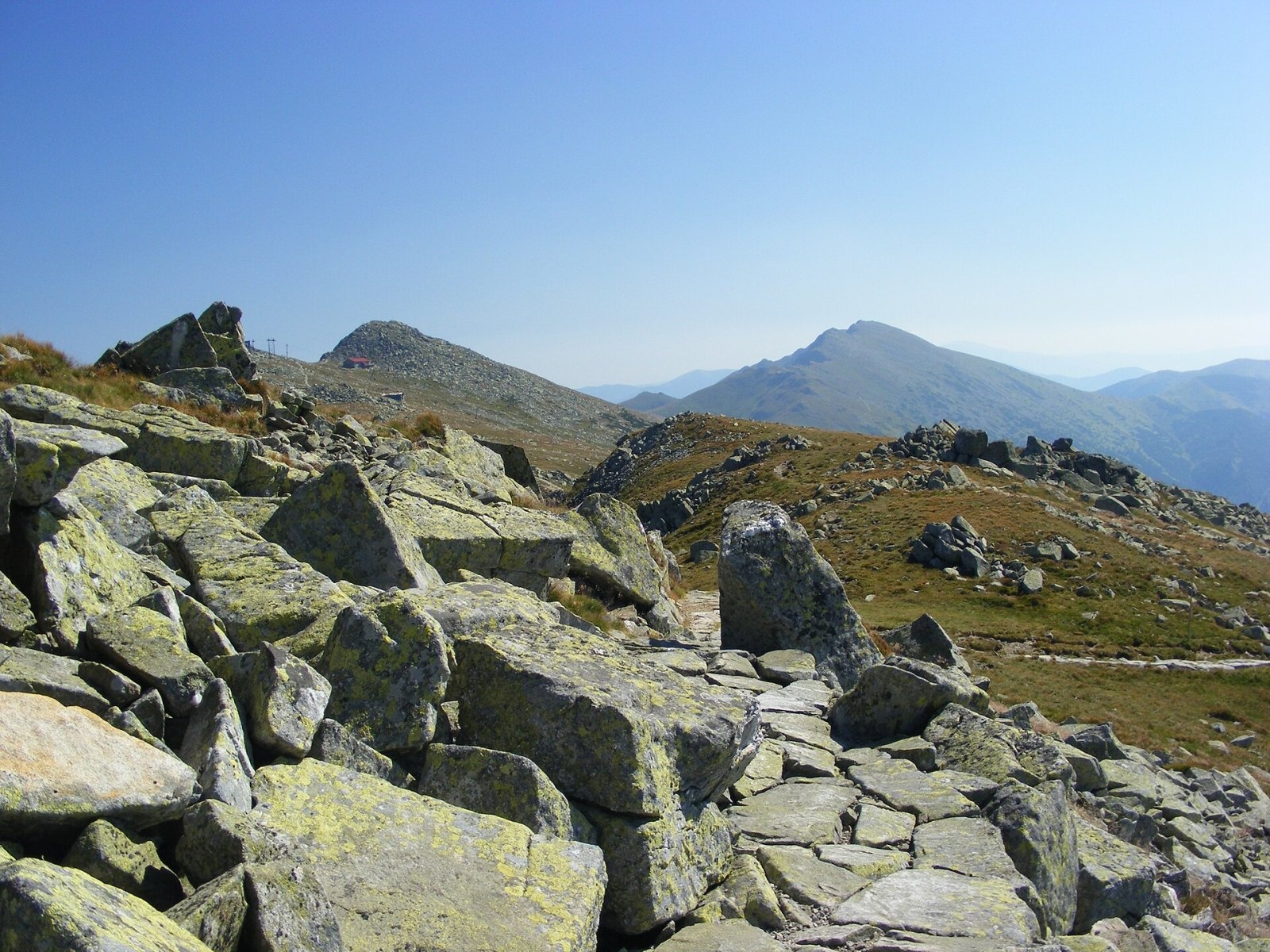
From the north Ďumbier looks like a true alpine massif: walls, buttresses and gullies almost 500 m high drop into the glacial cirques at the heads of the Bystrá and Ludárova valleys (part of the Jánska valley system). They are separated by the short spur of Ludárova hoľa; in the western cirque lies the small Bystré tarn, visible from the top. The southern slopes are much gentler and covered with a field of granite boulders. It is on Ďumbier that the main ridge forks: the eastern arm ends at massive Štiavnica, while the south-eastern one runs via Besná to the Čertovica pass and on into the Kráľova hoľa Tatras.
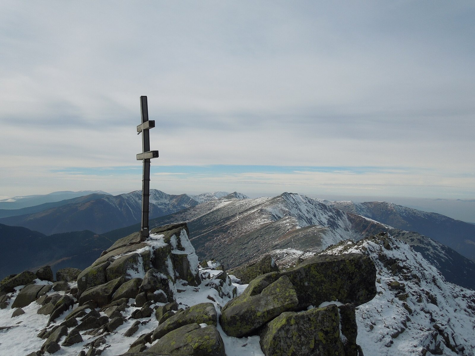
On the summit stand a reinforced-concrete pylon and a large wooden Slovak double cross. In the saddle below, at about 1,728 m, the General Milan Rastislav Štefánik hut is the main base for the ascent.
Getting there / trails
Only the red-marked spur from the junction at Krúpovo sedlo leads to the summit itself: about 40 min up and 30 min down. You can reach the saddle in several ways:
- Along the red Cesta hrdinov SNP (E8) on the main ridge — from Chopok in the west via Ďumbierske sedlo (many people ride the cable car up to Chopok) or from the Čertovica pass in the east past the Štefánik hut.
- Green markings from Demänovská dolina (Lúčky) through Široká dolina, or from the Tále resort and the Trangoška stop past the Štefánik hut.
- Yellow markings from the village of Mýto pod Ďumbierom past the Štefánik hut, or from Vyšná Boca via Besná.
- Blue markings from Liptovský Ján up the Jánska valley to the Štefánik hut.
In winter a separate winter route is marked from the Štefánik hut; it is closed in summer. The most popular option is the cable car to Chopok, then along the ridge to Ďumbier and back.
The view
The all-round panorama covers practically all the mountains of central and northern Slovakia: the High Tatras, the Choč Mountains, the Greater and Lesser Fatra, Liptovská Mara reservoir, Poľana, the Veporské and Stolické vrchy. In good visibility you can see the Orava Beskids with Pilsko and Babia hora, Oravská Magura, Vtáčnik, Sitno and even Kékes in Hungary.
Nature and history
The summit area is built of deep-seated crystalline rocks — tonalites and granodiorites. Lower down, in a band of limestone and dolomite at the level of the Štefánik hut, the large Cave of Dead Bats has formed. Tatra chamois and marmots live in the northern cirques. The Ďumbier nature reserve, more than 2,043 ha, was declared in 1973 and covers the summit and the glacial relief of the northern slopes.
From the 14th to the 19th century iron ore, gold and antimonite were mined intensively on the massif's slopes — traces of adits and spoil heaps can still be seen in almost every valley. At the end of the Slovak National Uprising, in autumn 1944, fighting between insurgents and German troops took place near the saddle below Ďumbier, and that winter partisans crossed the ridge in very harsh conditions; a memorial next to the Štefánik hut recalls these events.
Safety and rules
The ridge is exposed to every wind; in fog and bad weather it is hard to navigate across the boulder fields, and in winter the slopes are prone to avalanches. Keep to marked trails, do not enter the reserve's cirques and follow the rules of the Low Tatras National Park (current restrictions at napant.sk). Slovak Mountain Rescue Service (HZS): 18 300 (from a foreign phone +421 18 300) or 112.
Photos: Milan Bališin, CC BY-SA 4.0; Pudelek (Marcin Szala), CC BY-SA 3.0; Milan Bališin, CC BY-SA 4.0; maczopikczu, CC BY 3.0; Pudelek, CC BY-SA 4.0; Milan Bališin, CC BY-SA 4.0 — Wikimedia Commons.
Getting there from Ukraine
Border crossings
- Uzhhorod – Vyšné Nemecké — road, 24/7
- Malyi Bereznyi – Ubľa — road, 24/7 For cars and buses; pedestrians not confirmed by the Ukrainian border service, lorries up to 3.5 t.
- Mali Selmentsi – Veľké Slemence (pedestrian) — pedestrian, 09:00–21:00 Kyiv time Pedestrians and cyclists only; inconvenient for the Tatras without onward transport.
- Chop – Čierna nad Tisou (rail) — rail, 24/7
By car
From Uzhhorod to Brezno ≈274 km, ≈3 h 50 min without queues: Uzhhorod – Vyšné Nemecké → I/19 to Košice → D1 via Prešov and Poprad to the exit near Liptovský Hrádok → I/18 and I/72 over the Čertovica Pass to Brezno. To Banská Bystrica ≈322 km, ≈4 h 30 min: D1 to Ružomberok, then I/59 via Donovaly. From Lviv: to Brezno via Uzhok and Ubľa ≈498 km (≈7 h 45 min) or through Poland ≈554 km (≈7 h 05 min); to Banská Bystrica through Poland (Kraków – Chyżne – Trstená – Dolný Kubín – Ružomberok) ≈535 km, ≈7 h 15 min. The D1 requires an e-vignette (eznamka.sk).
Checked 23.10.2026; border crossing hours and timetables change — check before you travel.
Location on the map
Water and shelter nearby
- Spring below Kozie chrbty (north-west slope), 1 546 m900 m · Not verified · 1 546 m
- Spring below Kozie chrbty (north-east slope)1 km · Not verified · 1 748 m
- Spring below Kozie chrbty (north-west slope), 1 454 m1.1 km · Not verified · 1 454 m
- M. R. Štefánik Hut1.3 km · Standing · 1 740 m
- Drinking water below Kozie chrbty1.3 km · Not verified · 1 714 m
- Štiavnica Spring, 1 607 m1.5 km · Not verified · 1 607 m
- Spring below Kozie chrbty (south-east slope), 1 547 m1.5 km · Not verified · 1 547 m
- Spring below Kozie chrbty (south-west slope)1.6 km · Not verified · 1 572 m
- Spring below Veľký Gápeľ (north slope), 1 569 m1.7 km · Not verified · 1 569 m
- Spring below Kozie chrbty (south-east slope), 1 488 m1.7 km · Not verified · 1 488 m
- Spring below Veľký Gápeľ (north-west slope), 1 232 m1.8 km · Not verified · 1 232 m
- Bystrá1.9 km · Not verified · 1 605 m
- Spring below Konské (south-east slope)1.9 km · Not verified · 1 544 m
- Spring below Veľký Gápeľ (north-west slope), 1 212 m1.9 km · Not verified · 1 212 m
- Spring below Veľký Gápeľ (north slope), 1 581 m1.9 km · Not verified · 1 581 m
- Spring below Konské (south slope)2.3 km · Not verified · 1 308 m
Comments
Trails nearby
All trails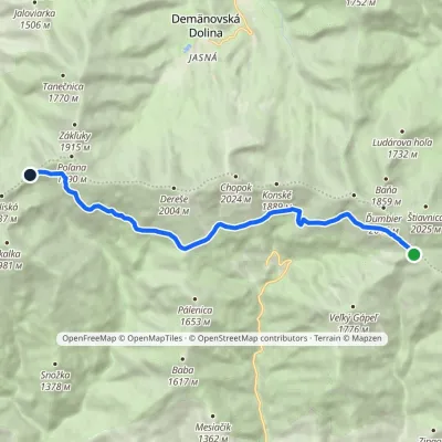 ModerateOne-dayMarkedKrížske Saddle Hut of Gen. M. R. ŠtefánikElevation profile1 455–1 778 m11.3 kmascent 371 m≈ 3.5 h walkingunder 1 km from Ďumbier
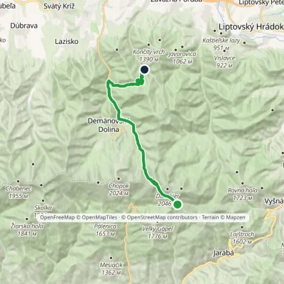 ModerateTwo-dayMarkedChata generála M. R. Štefánika Za VrátamiElevation profile802–1 919 m17.5 kmascent 623 m≈ 5.5 h walkingunder 1 km from Ďumbier
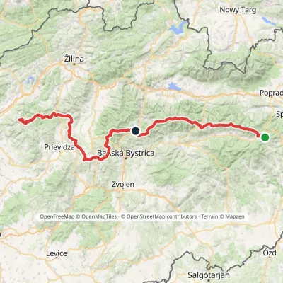 HardMulti-dayMarkedHorná Poruba, U Brdárov Pred ČuntavouElevation profile309–2 004 m241.6 kmascent 15 694 munder 1 km from Ďumbier
Nearby attractions
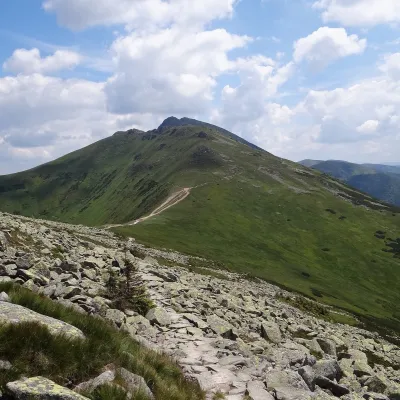 PeakKrúpova hoľaDemänovská Dolinaaltitude 1 922 munder 1 km from ĎumbierKrúpova hoľa is a 1922 m rocky peak on the main ridge of the Low Tatras (Nízke Tatry) in Slovakia. It lies in the highest, Ďumbier part of the range, above Demänovská...
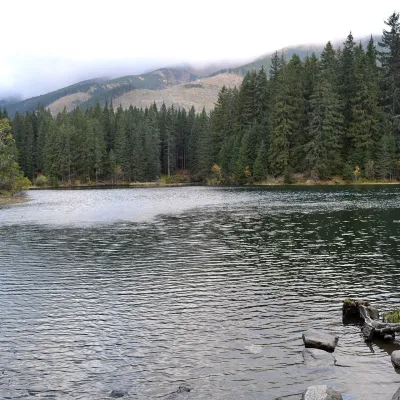 LakeVrbické pleso in the Demänovská valleyDemänovská Dolina5.9 km from ĎumbierVrbické pleso is the largest natural lake in the Low Tatras. It lies at 1,113 m in the upper western part of the Demänovská dolina, on the right-hand slope of the side...
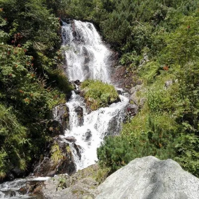 WaterfallVajskovský vodopád (Vajskovský Waterfall)Demänovská Dolina7.5 km from ĎumbierVajskovský vodopád is a cascading waterfall in the upper part of the Vajskovská dolina on the southern side of the Low Tatras, within the Low Tatras National Park ...
Craft nearby
All craft places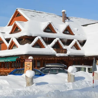 Koliby & Hutsul cuisineKoliba Strachanovka, Jánska valleyLiptovský Ján11 km from ĎumbierKoliba Strachanovka (Jánska koliba) is a large wooden koliba at the entrance to the Jánska valley in the village of Liptovský Ján, which locals consider one of the...
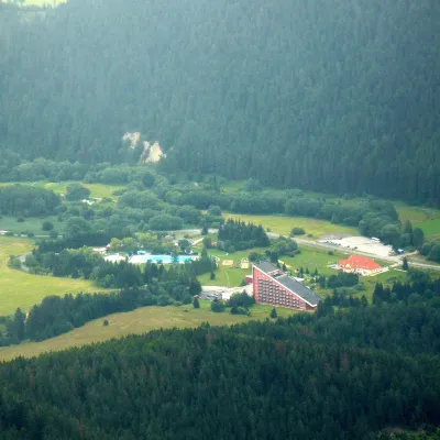 Water parks & thermal poolsTERMAL raj thermal bath, Liptovský JánLiptovský Ján12 km from ĎumbierLiptovský Ján: thermal water at the entrance to Jánska dolina Liptovský Ján is an old village in southern Liptov, about 10 km from Liptovský Mikuláš, at the entrance...
 Craft beer & breweriesLiptovar brewery, Liptovský Mikuláš: craft beer and brewpubLiptovský Mikuláš16 km from ĎumbierLiptovský Mikuláš is the main town of the Liptov region, a short drive from the Low and Western Tatras, the Demänovská Valley and the Liptovská Mara reservoir.
 Water parks & thermal poolsAquapark TatralandiaLiptovský Mikuláš20 km from ĎumbierAquapark Tatralandia is a large year-round water leisure complex near Liptovský Mikuláš, on the northern shore of the Liptovská Mara reservoir.
 Koliby & Hutsul cuisineSalaš Dechtáre above Liptovská MaraGalovany20 km from ĎumbierSalaš Dechtáre is a wooden koliba above the Liptovská Mara reservoir that is described as one of Slovakia’s first commercial salaš restaurants.
 Water parks & thermal poolsBešeňová Water ParkBešeňová23 km from ĎumbierBešeňová — the "thermal heart of Liptov" Bešeňová Water Park (Vodný park Bešeňová) lies on the edge of the village of the same name in the western part of the Liptov...
