Chopok
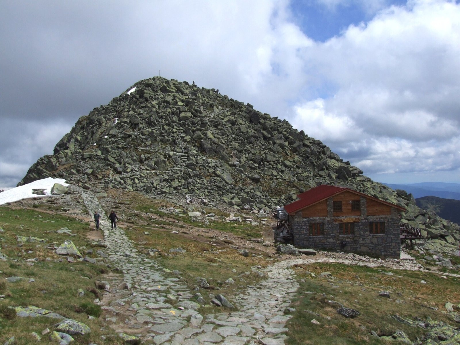
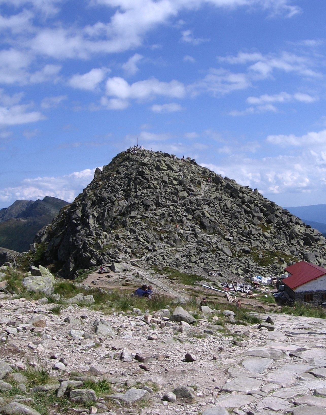
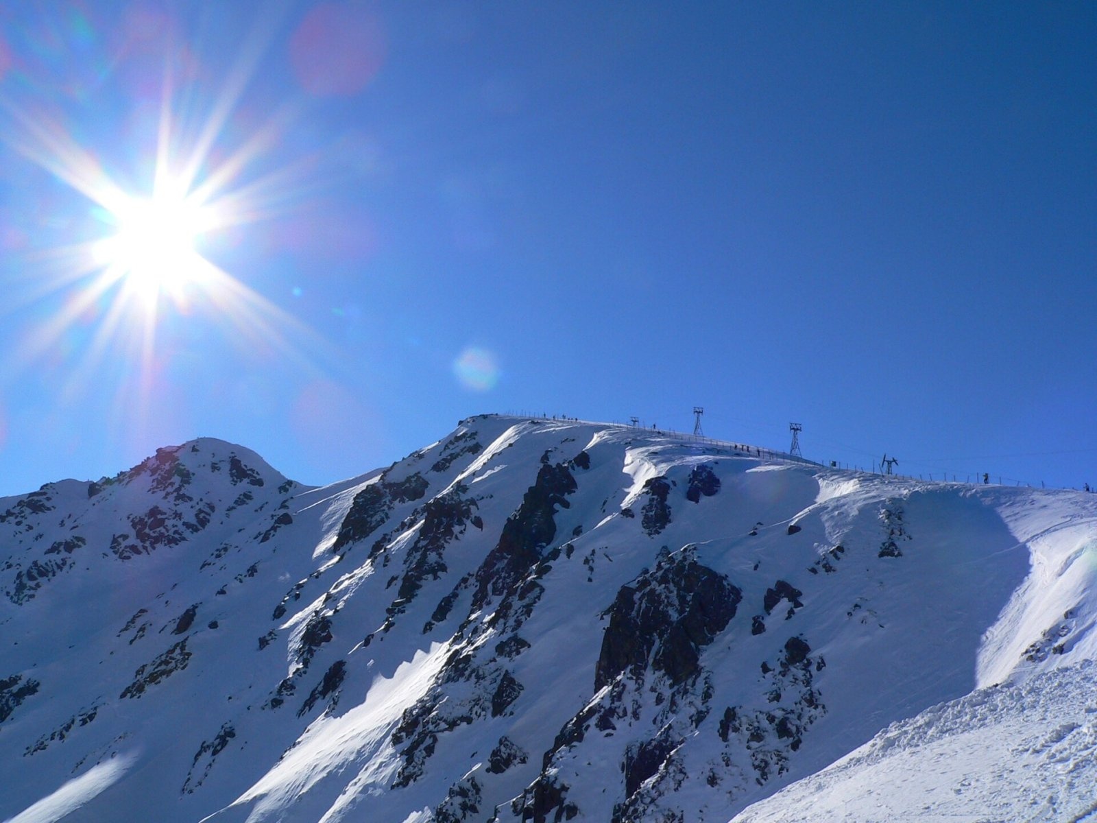
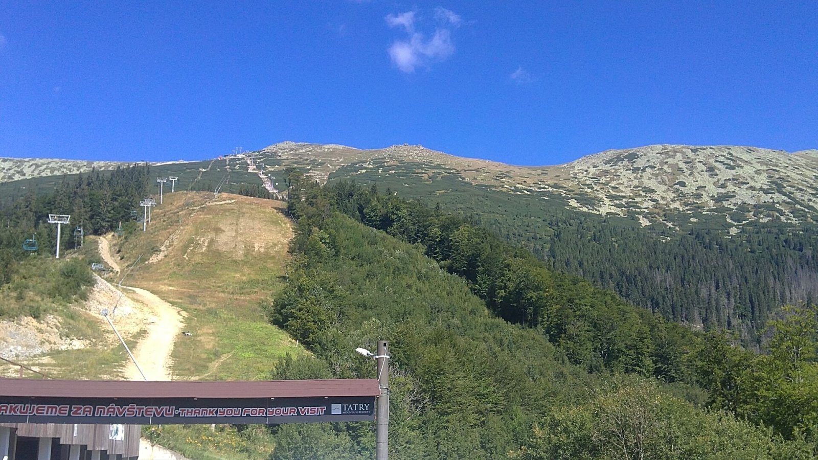
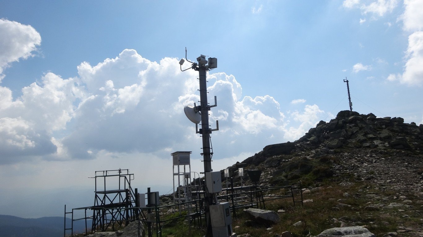
Chopok (2,024 m) is a summit in the central Low Tatras in Slovakia and the third-highest peak of the range after its neighbours Ďumbier (2,046 m) and Štiavnica (2,025 m). It stands on the main ridge, in the part called the Ďumbier Tatras, right on the border of the Žilina and Banská Bystrica regions: the northern slopes fall to Liptov and the Demänovská valley, the southern ones to the Bystrá valley above the Hron. The town of Brezno lies about 15 km to the south. The whole summit is inside the Low Tatras National Park (NAPANT).
Chopok's neighbours are Dereše (2,004 m) to the west, Konský grúň to the north and Konské (about 1,880 m) to the east, beyond which the ridge continues to Ďumbier. Below the summit to the north-east lies a large glacial cirque with the small Lukové tarn. The summit dome itself is a pile of large granite blocks; a few dozen metres below it, at about 2,000 m, stands the mountain hut Kamenná chata pod Chopkom, and west of it are the top station of the cable cars, a telecommunications tower and a weather station.
Getting there / trails
- Cable cars. The easiest way up is with the lifts of the Jasná resort: from the north (Demänovská dolina) and from the south (Srdiečko – Kosodrevina). Since December 2012 both sides have again been linked by cable cars over the ridge. Timetables and prices change every year — check with the operator before you go.
- Red markings — the Cesta hrdinov SNP (Heroes of the Slovak National Uprising trail, here also the European E8 route) along the main ridge: from Ďumbier in the east and from Dereše in the west. The path skirts the summit dome; a short spur leads to the top.
- Blue markings from Demänovská dolina via Luková — the climb up the northern slope.
- Yellow markings from the south — from the Trangoška and Srdiečko stops in the Bystrá valley.
A short panoramic path runs near the top station. Chopok is a common starting point for the ridge walk to Ďumbier and the General Štefánik hut, and on via Besná to the Čertovica pass.
The view
The all-round panorama takes in most of the mountains of central and northern Slovakia. The most striking view is of the High Tatras; Liptov and the Hron valley are clearly visible. On a clear day you can pick out the Choč Mountains, Poľana, the Veporské and Stolické vrchy, the Orava Beskids with Pilsko and Babia hora, Oravská Magura, the Kriváň part of the Malá Fatra, Vtáčnik, Sitno and even Kékes in Hungary.
Weather and wind
The weather station on Chopok has been measuring since 1 December 1954. The mean annual temperature is −1.1 °C; the record low of −31.5 °C was measured on 17 January 1963 and the record high of 22 °C on 9 August 2013; annual precipitation is about 1,034 mm. Chopok is one of the windiest places in Slovakia: the mean wind speed is 9.3 m/s, and on 14 April 1988 a gust reached 51 m/s (184 km/h). Even in summer you need a windproof jacket, hat and gloves on the ridge, and in fog it is easy to lose the path.
Skiing and tourism
Chopok's slopes are the heart of the Jasná Nízke Tatry resort, the largest ski area in Slovakia: Jasná on the north side (Luková, Záhradky, Otupné) and Kosodrevina and Srdiečko on the south. In summer the same lifts carry walkers, so the top is busy, especially at weekends.
Safety and rules
The Low Tatras ridge is genuine high mountain terrain: the weather changes quickly, summer brings thunderstorms, and in winter and spring there is avalanche danger off the pistes. Keep to marked trails and follow the rules of the Low Tatras National Park; the park administration may close individual sections temporarily, so check napant.sk before you set out. When the lifts are not running (strong wind, maintenance) the walk down takes several hours — leave a time reserve. Slovak Mountain Rescue Service (HZS): 18 300 (from a foreign phone +421 18 300) or the general emergency number 112; the HZS app is worth installing.
Photos: Pudelek (Marcin Szala), CC BY-SA 4.0; Wikipedysta:Gower, CC BY-SA 2.5; EmilZatopek at Czech Wikipedia, CC BY-SA 3.0; Pe3kZA, CC BY-SA 4.0; Pe3kZA, CC BY-SA 4.0 — Wikimedia Commons.
Getting there from Ukraine
Border crossings
- Uzhhorod – Vyšné Nemecké — road, 24/7
- Malyi Bereznyi – Ubľa — road, 24/7 For cars and buses; pedestrians not confirmed by the Ukrainian border service, lorries up to 3.5 t.
- Mali Selmentsi – Veľké Slemence (pedestrian) — pedestrian, 09:00–21:00 Kyiv time Pedestrians and cyclists only; inconvenient for the Tatras without onward transport.
- Chop – Čierna nad Tisou (rail) — rail, 24/7
By car
From Uzhhorod to Brezno ≈274 km, ≈3 h 50 min without queues: Uzhhorod – Vyšné Nemecké → I/19 to Košice → D1 via Prešov and Poprad to the exit near Liptovský Hrádok → I/18 and I/72 over the Čertovica Pass to Brezno. To Banská Bystrica ≈322 km, ≈4 h 30 min: D1 to Ružomberok, then I/59 via Donovaly. From Lviv: to Brezno via Uzhok and Ubľa ≈498 km (≈7 h 45 min) or through Poland ≈554 km (≈7 h 05 min); to Banská Bystrica through Poland (Kraków – Chyżne – Trstená – Dolný Kubín – Ružomberok) ≈535 km, ≈7 h 15 min. The D1 requires an e-vignette (eznamka.sk).
Checked 23.10.2026; border crossing hours and timetables change — check before you travel.
Location on the map
Water and shelter nearby
- Kamenná Hut under Chopok100 m · Standing · 1 985 m
- Spring below Konské (south-east slope)1.8 km · Not verified · 1 544 m
- Spring below Konské (south slope)2.2 km · Not verified · 1 308 m
- Spring below Príslop (north-west slope), 1 495 m2.2 km · Not verified · 1 495 m
- Spring below Príslop (north-west slope), 1 466 m2.3 km · Not verified · 1 466 m
- Spring below Pálenica (north-east slope), 1 325 m2.5 km · Not verified · 1 325 m
- Spring below Veľký Gápeľ (north-west slope), 1 212 m2.8 km · Not verified · 1 212 m
- Spring below Veľký Gápeľ (north-west slope), 1 232 m2.8 km · Not verified · 1 232 m
Comments
Trails nearby
All trails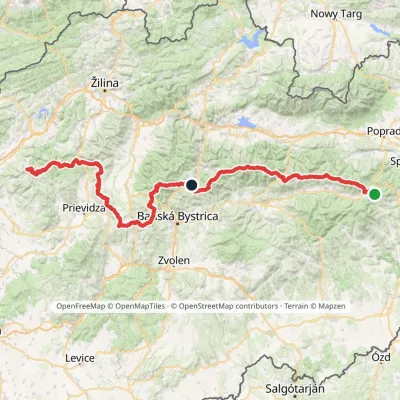 HardMulti-dayMarkedHorná Poruba, U Brdárov Pred ČuntavouElevation profile309–2 004 m241.6 kmascent 15 694 munder 1 km from Chopok
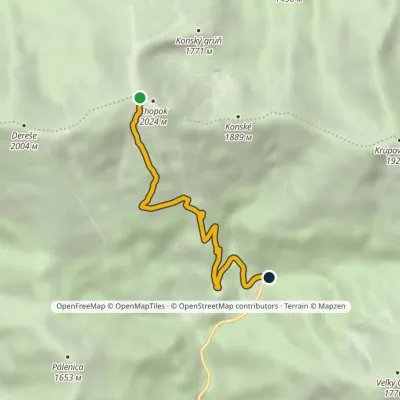 ModerateOne-dayMarkedTrangoška ChopokElevation profile1 128–1 992 m4.9 kmascent 2 m≈ 1 h walkingunder 1 km from Chopok
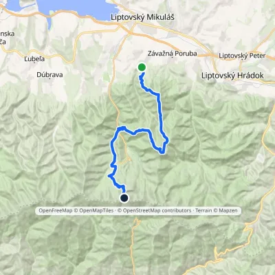 HardMulti-dayMarkedIľanovo ChopokElevation profile652–2 003 m26.7 kmascent 2 715 m≈ 12 h walkingunder 1 km from Chopok
Nearby attractions
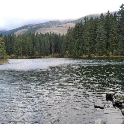 LakeVrbické pleso in the Demänovská valleyDemänovská Dolina3.2 km from ChopokVrbické pleso is the largest natural lake in the Low Tatras. It lies at 1,113 m in the upper western part of the Demänovská dolina, on the right-hand slope of the side...
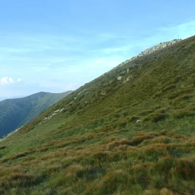 Mountain meadowHole of the Low Tatras between Chopok and ChabenecLaziskoaltitude 1 890 m3.9 km from ChopokThe highest section of the grassy main ridge of the Low Tatras (Nízke Tatry) runs west from Chopok (2,024 m), reached by cable cars from the Jasná resort, over Dereše ...
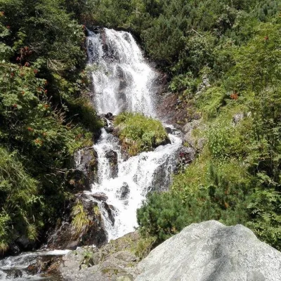 WaterfallVajskovský vodopád (Vajskovský Waterfall)Demänovská Dolina4.1 km from ChopokVajskovský vodopád is a cascading waterfall in the upper part of the Vajskovská dolina on the southern side of the Low Tatras, within the Low Tatras National Park ...
Craft nearby
All craft places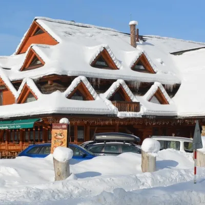 Koliby & Hutsul cuisineKoliba Strachanovka, Jánska valleyLiptovský Ján12 km from ChopokKoliba Strachanovka (Jánska koliba) is a large wooden koliba at the entrance to the Jánska valley in the village of Liptovský Ján, which locals consider one of the...
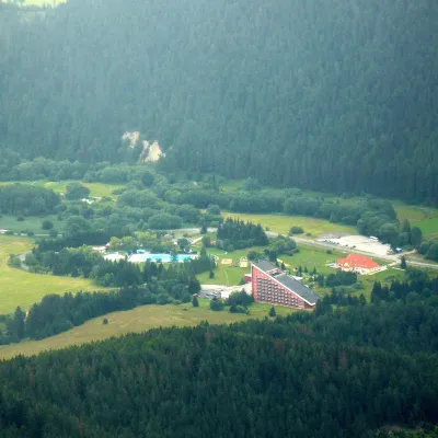 Water parks & thermal poolsTERMAL raj thermal bath, Liptovský JánLiptovský Ján12 km from ChopokLiptovský Ján: thermal water at the entrance to Jánska dolina Liptovský Ján is an old village in southern Liptov, about 10 km from Liptovský Mikuláš, at the entrance...
 Craft beer & breweriesLiptovar brewery, Liptovský Mikuláš: craft beer and brewpubLiptovský Mikuláš15 km from ChopokLiptovský Mikuláš is the main town of the Liptov region, a short drive from the Low and Western Tatras, the Demänovská Valley and the Liptovská Mara reservoir.
 Koliby & Hutsul cuisineSalaš Dechtáre above Liptovská MaraGalovany18 km from ChopokSalaš Dechtáre is a wooden koliba above the Liptovská Mara reservoir that is described as one of Slovakia’s first commercial salaš restaurants.
 Water parks & thermal poolsAquapark TatralandiaLiptovský Mikuláš18 km from ChopokAquapark Tatralandia is a large year-round water leisure complex near Liptovský Mikuláš, on the northern shore of the Liptovská Mara reservoir.
 Water parks & thermal poolsBešeňová Water ParkBešeňová21 km from ChopokBešeňová — the "thermal heart of Liptov" Bešeňová Water Park (Vodný park Bešeňová) lies on the edge of the village of the same name in the western part of the Liptov...
