Dolný Harmanec
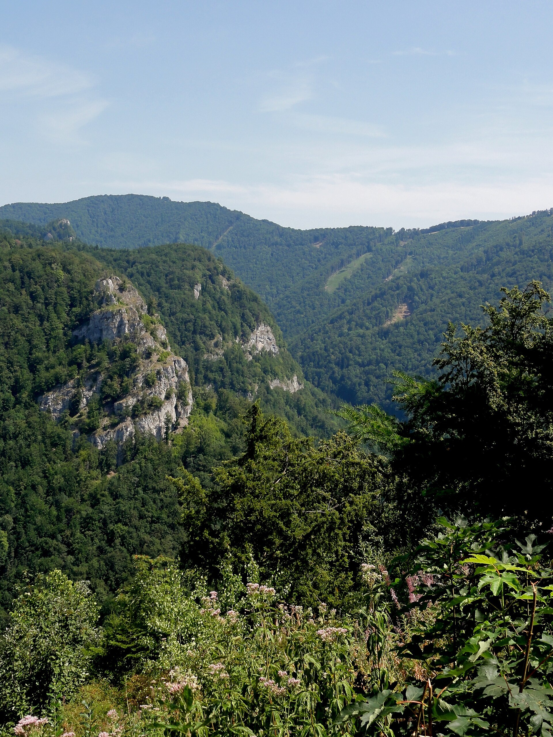
Photos: David Mikula, CC BY-SA 4.0 (Wikimedia Commons); Michal Jakubský, CC BY 3.0 (Wikimedia Commons); Michal Jakubský, CC BY 3.0 (Wikimedia Commons); Matúš Korbáš .ml, CC BY-SA 3.0 (Wikimedia Commons); Koco C., CC BY 3.0 (Wikimedia Commons); Jerzy Opioła, CC BY-SA 4.0 (Wikimedia Commons)
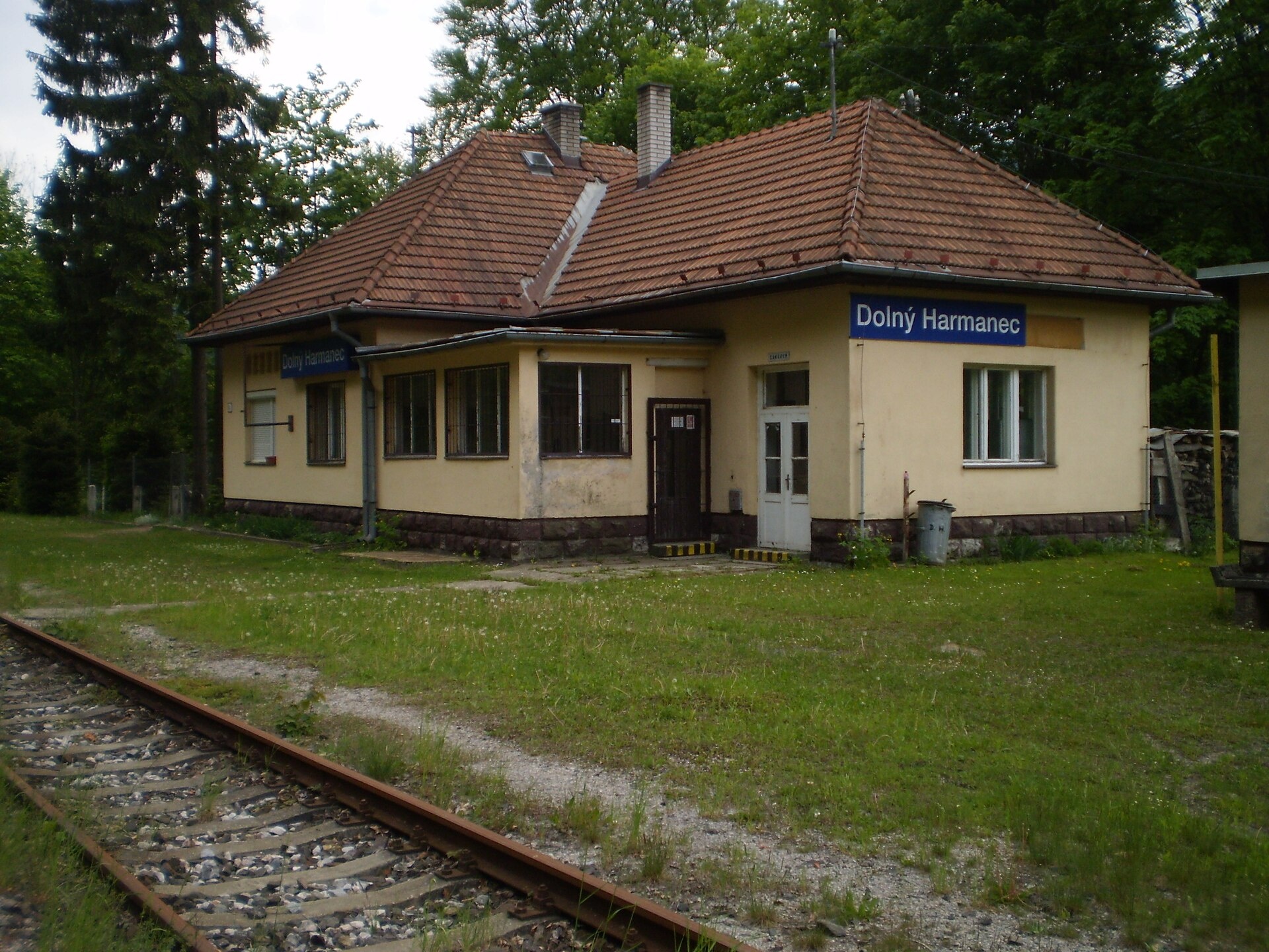
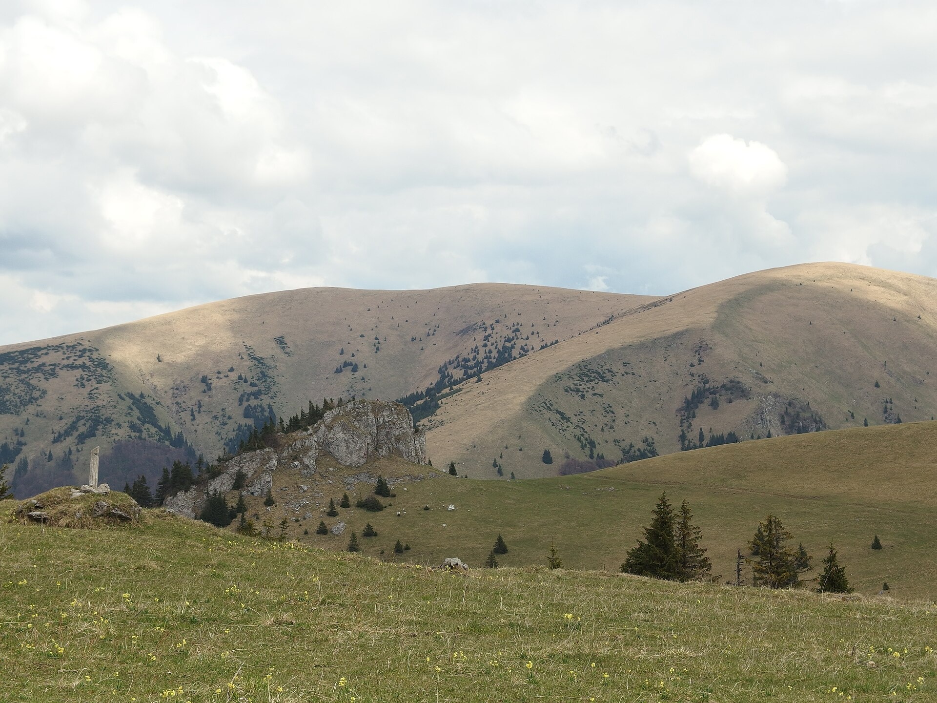
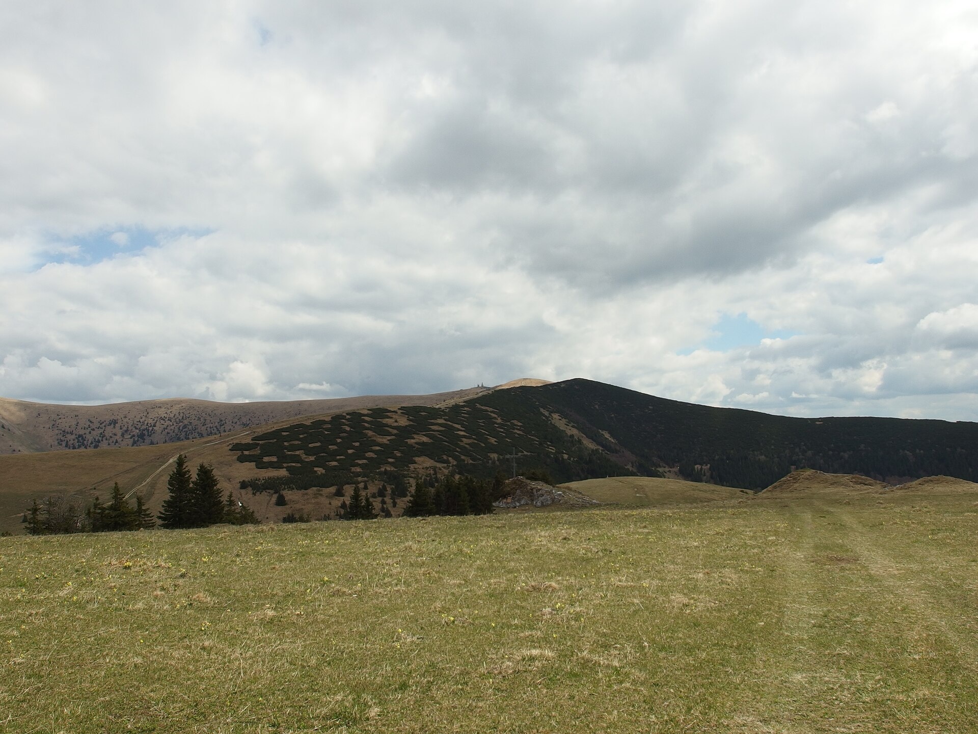
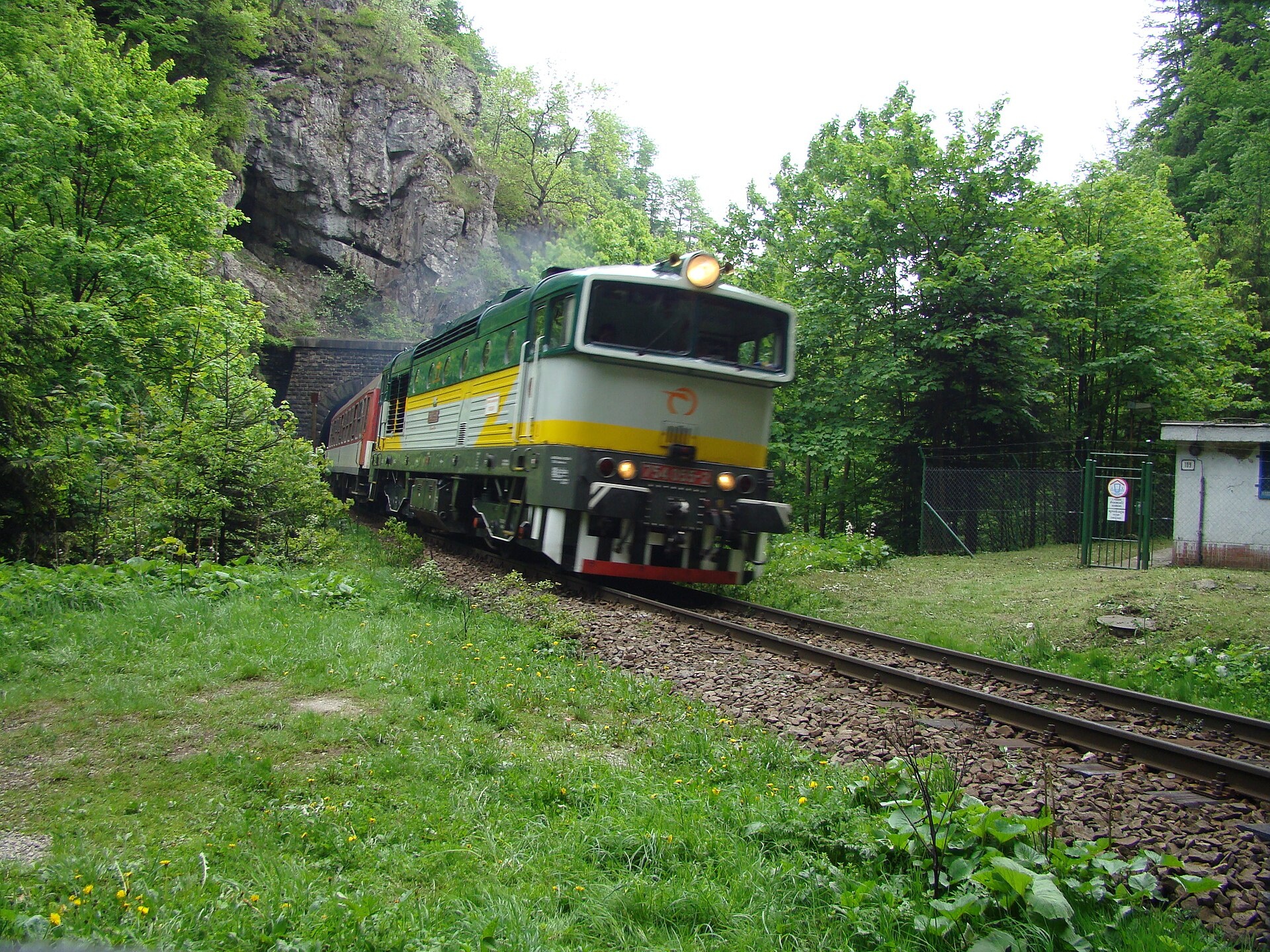
Dolný Harmanec is a village in the Banská Bystrica District, Banská Bystrica Region, Slovakia. It lies in the scenic Harmanec Valley between the Greater Fatra and Kremnica Mountains, at an elevation of 440 metres. The village stretches along the Harmanec stream and road No. 14. The railway line No. 170 Vrútky – Banská Bystrica passes through Dolný Harmanec, crossing the Greater Fatra via the Čremošniansky Tunnel.
The first written mention of Dolný Harmanec dates back to 1540. Historically, it was established as a mining settlement belonging to Banská Bystrica, later owned by the Thurzo family and the Fugger merchants, and subsequently returned to Banská Bystrica. A copper smelter operated here as early as the 15th century.
The village is known for its natural surroundings and proximity to major sites of the Greater Fatra. The main natural attraction is the Harmanec Cave, open to visitors. In the Túfna valley, there are the Dolná Túfna and Horná Túfna caves, while the Harmanec Waterfall is found on the Dolná Prašnica stream. The upper Harmanec valley features the Harmanecká tisina nature reserve, protecting a large yew population.
Dolný Harmanec is a great starting point for hiking, with routes such as “Staré Hory, pri kaplnke – Dolný Harmanec, stanica” and the “Veľkofatranská magistrála”, as well as trails to Kráľova studňa — a plateau and springs in the Greater Fatra. Nature enthusiasts can climb Ostredok peak or visit the Harmanec Cave. In nearby Banská Bystrica, the Urpiner Brewery offers tours, and the ÚĽUV craft shop is open to visitors.
Getting there from Ukraine
From Uzhhorod ≈275 km, ≈3 h 35 min without queues: Uzhhorod – Vyšné Nemecké → I/19 to Košice → D1 motorway via Prešov, Poprad and Liptovský Mikuláš to Ružomberok (≈270 km, ≈3 h 25 min from the border). From Lviv it is faster through Poland: M-10 → Krakovets – Korczowa → A4 to Kraków → S7/DK7 to the Chyżne – Trstená border → R3 and I/59 via Dolný Kubín to Ružomberok: ≈482 km, ≈6 h 15 min (via Uzhok and Ubľa ≈500 km, ≈7 h 30 min). The D1 requires an e-vignette (eznamka.sk).
Sources: Wikipedia, Wikidata, OpenStreetMap, Karpaty.rocks data. More on Wikipedia
What's nearby
Trails nearby
All trails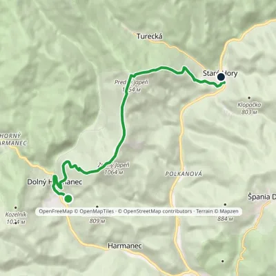 ModerateOne-dayMarkedStaré Hory, by the chapel Dolný Harmanec, stationElevation profile479–1 154 m9.7 kmascent 750 m≈ 4 h walkingunder 1 km from the centre
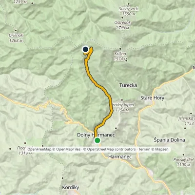 ModerateOne-dayMarkedDolný Harmanec, station Kráľova studňa, hotelElevation profile487–1 265 m11.5 kmascent 781 m≈ 4.5 h walkingunder 1 km from the centre
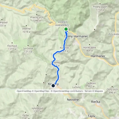 EasyOne-dayMarkedHarmanec Kordíkyvia cave, stationElevation profile574–1 024 m7.4 kmascent 529 m≈ 3 h walkingunder 1 km from the centre
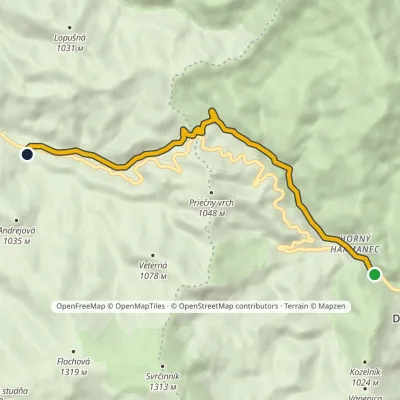 EasyOne-dayMarkedHorný Harmanec, parking Bartoška Hutvia Malý Šturec SaddleElevation profile580–901 m8.2 kmascent 339 m≈ 2.5 h walking1.2 km from the centre
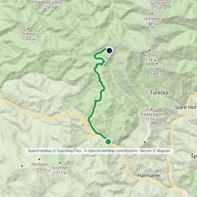 ModerateOne-dayMarkedHarmanec Kráľova studňa, hotelvia cave, stationElevation profile580–1 269 m10.8 kmascent 719 m≈ 4 h walking1.2 km from the centre
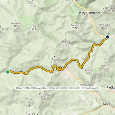 ModerateOne-dayMarkedHarmanec Studený žľabElevation profile446–1 124 m12.2 kmascent 311 m≈ 3.5 h walking2.3 km from the centre
Peaks nearby
All peaks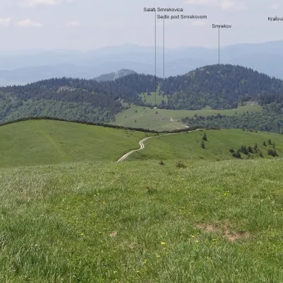 PeakSmrekovTureckáaltitude 1 441 m8.5 km from the centreSmrekov is a 1441 m summit in the southern part of the Greater Fatra (Veľká Fatra) in Slovakia. It belongs to the Bralná Fatra, the part of the range where many...
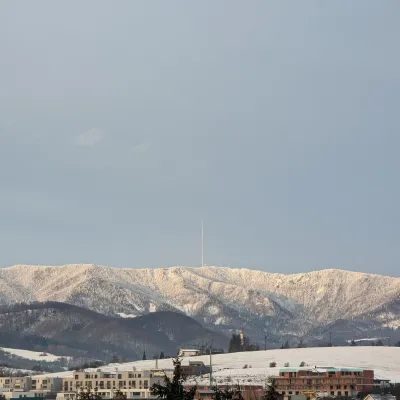 PeakSkalka (Kremnica Mountains)Kremnicaaltitude 1 232 m9 km from the centreSkalka (formerly Suchá hora) is a 1232 m peak on the main ridge of the Kremnica Mountains (Kremnické vrchy) in central Slovakia.
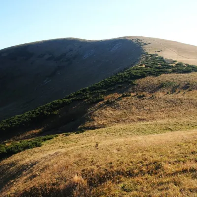 PeakFrčkovTureckáaltitude 1 585 m9.3 km from the centre1 trail to the topFrčkov is a 1585 m summit in the central part of the Greater Fatra (Veľká Fatra) in Slovakia, the second highest in the range after Ostredok.
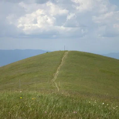 PeakOstredokTureckáaltitude 1 596 m10 km from the centre1 trail to the topOstredok is the highest peak of the Greater Fatra (Veľká Fatra) at 1,596 m. It lies in the central part of the range, in the Hôľna Fatra, above the village of...
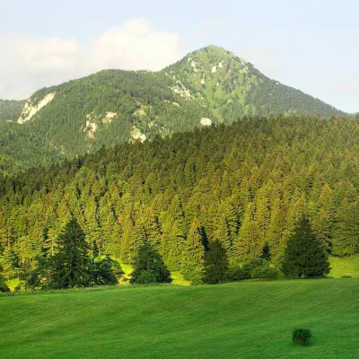 PeakDrienokBlatnicaaltitude 1 268 m11 km from the centreDrienok (formerly Drieňok) is a 1268 m limestone and dolomite summit in the south-western part of the Slovak Veľká Fatra.
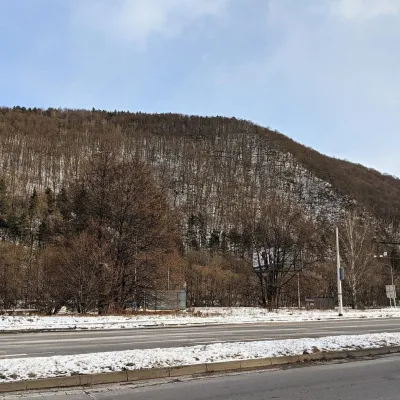 PeakUrpínBanská Bystricaaltitude 510 m12 km from the centreUrpín is a low but very prominent 510 m hill in central Slovakia, rising directly above the historic centre of Banská Bystrica on the left bank of the Hron river.
What to visit
All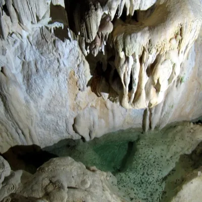 NatureHarmanecká CaveDolný Harmanecunder 1 km from the centreThe “White Cave” above the Harmanec valley Harmanecká Cave (Harmanecká jaskyňa) lies in the valley of the Harmanec stream north-west of Banská Bystrica, in the...
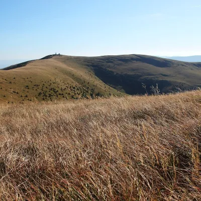 Mountain meadowKrížna and the hole meadows of Veľká FatraTureckáaltitude 1 574 m7.6 km from the centreKrížna (1,574 m) is a broad grassy massif in the central part of Veľká Fatra in Slovakia, the third-highest summit of these mountains after Ostredok and Frčkov.
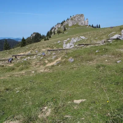 Mountain meadowKráľova studňa: meadow plateau and springs in Veľká FatraDolný Harmanecaltitude 1 365 m8.1 km from the centreKráľova studňa (literally the «King's Well») is a broad grassy plateau on the main ridge of Veľká Fatra, at the western edge of the Krížna massif.
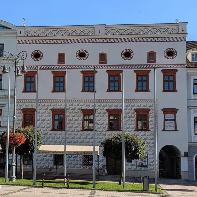 MuseumThurzo House — Central Slovak Museum, Banská BystricaBanská Bystrica11 km from the centreThe Thurzo House (Thurzov dom) is one of the finest buildings on the main SNP Square in Banská Bystrica, with Renaissance sgraffito on its façade and an ornate attic...
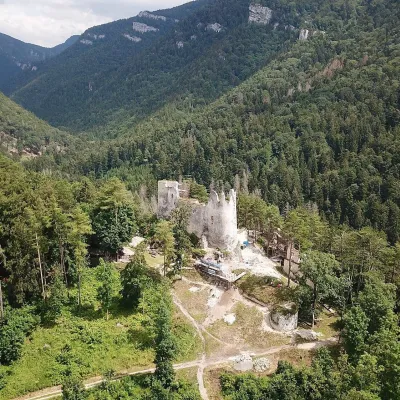 CastleBlatnica Castle and the Gader ValleyBlatnica17 km from the centreBlatnica Castle (Blatnický hrad) is a medieval ruin on the low but sharp limestone ridge of Plešovica (658 m), which separates the Gader valley (Gaderská dolina) from...
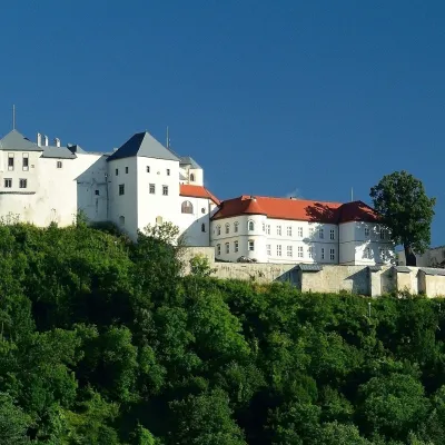 CastleĽupča CastleSlovenská Ľupča17 km from the centreĽupča Castle (Ľupčiansky hrad, Hrad Ľupča) rises above the village of Slovenská Ľupča in the Hron valley, about 10 km east of Banská Bystrica.
Craft nearby
All craft places Craft shopsÚĽUV Banská Bystrica: folk-craft shop and craft schoolBanská Bystrica11 km from the centreÚĽUV (Ústredie ľudovej umeleckej výroby, the Centre for Folk Art Production) is a state institution that has looked after Slovak folk crafts since 1945: it keeps a...
 Craft beer & breweriesUrpiner brewery in Banská Bystrica: tour and beer from the tankBanská Bystrica13 km from the centreBanská Bystrica is the centre of Central Slovakia and grew rich on copper mining in the 14th–16th centuries.
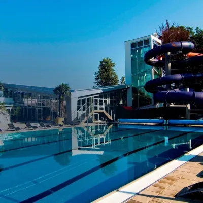 Water parks & thermal poolsSpa & Aquapark Turčianske TepliceTurčianske Teplice15 km from the centreTurčianske Teplice is one of Slovakia’s oldest spa towns. Its warm springs were first mentioned in 1281 in a deed of gift by King Ladislaus IV, and from 1533 they...
 Cheese dairies & pasturesTuriec bryndza dairy, Turčianske Teplice: bryndza since 1917Turčianske Teplice15 km from the centreMore than a hundred years of Turiec bryndza Turiec is a wide basin between the ridges of the Veľká and Malá Fatra, a land of pastures and old sheep farming.
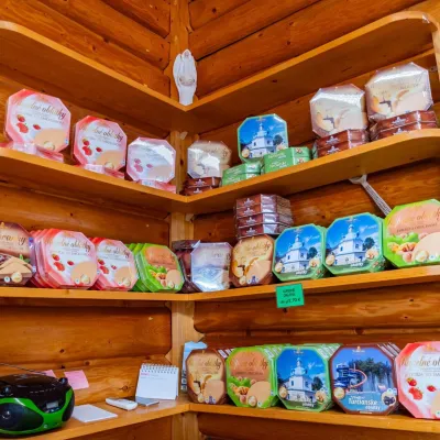
 Craft producersKremnica gingerbread: the Haurík family bakery since 1922Kremnica16 km from the centreKremnica is an old mining town in the Kremnica Mountains where coins have been struck for more than six centuries.
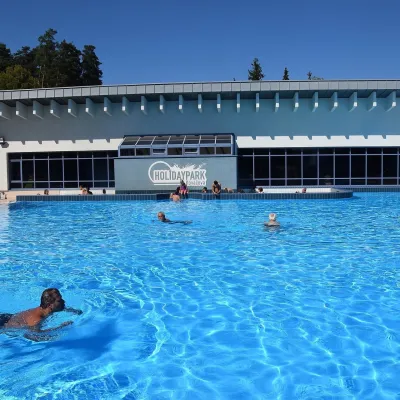 Water parks & thermal poolsKováčová: thermal spa and Holidaypark aquapark near ZvolenKováčová23 km from the centreKováčová is a spa village on the south-western edge of the Zvolen Basin, 4 km west of Zvolen at the foot of the Kremnica Mountains; the village centre lies at 303 m.
Spas and thermal pools nearby
Water parks & thermal poolsSpa & Aquapark Turčianske TepliceTurčianske Teplice15 km from the centreTurčianske Teplice is one of Slovakia’s oldest spa towns. Its warm springs were first mentioned in 1281 in a deed of gift by King Ladislaus IV, and from 1533 they...Water parks & thermal poolsKováčová: thermal spa and Holidaypark aquapark near ZvolenKováčová23 km from the centreKováčová is a spa village on the south-western edge of the Zvolen Basin, 4 km west of Zvolen at the foot of the Kremnica Mountains; the village centre lies at 303 m.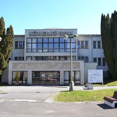 Water parks & thermal poolsSliač spa: warm carbonated water and a thermal swimming areaSliač24 km from the centreSliač is a spa in the Zvolen Basin above the Hron valley, between Zvolen and Banská Bystrica. The spa quarter with its 46-hectare park lies on a slope above the former...
Huts, shelters and springs nearby
Getting there from Ukraine
Border crossings
- Uzhhorod – Vyšné Nemecké — road, 24/7
- Malyi Bereznyi – Ubľa — road, 24/7 For cars and buses; pedestrians not confirmed by the Ukrainian border service, lorries up to 3.5 t.
- Mali Selmentsi – Veľké Slemence (pedestrian) — pedestrian, 09:00–21:00 Kyiv time Pedestrians and cyclists only; inconvenient for the Tatras without onward transport.
- Chop – Čierna nad Tisou (rail) — rail, 24/7
By car
From Uzhhorod ≈275 km, ≈3 h 35 min without queues: Uzhhorod – Vyšné Nemecké → I/19 to Košice → D1 motorway via Prešov, Poprad and Liptovský Mikuláš to Ružomberok (≈270 km, ≈3 h 25 min from the border). From Lviv it is faster through Poland: M-10 → Krakovets – Korczowa → A4 to Kraków → S7/DK7 to the Chyżne – Trstená border → R3 and I/59 via Dolný Kubín to Ružomberok: ≈482 km, ≈6 h 15 min (via Uzhok and Ubľa ≈500 km, ≈7 h 30 min). The D1 requires an e-vignette (eznamka.sk).
Checked 23.10.2026; border crossing hours and timetables change — check before you travel.
