Liptovské Revúce
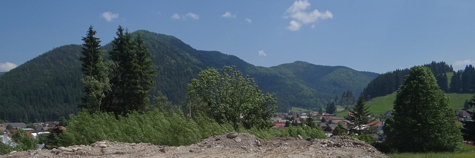
Photos: Pe3kZA, CC BY-SA 4.0 (Wikimedia Commons); Adam Chamczyk, CC BY 3.0 (Wikimedia Commons); Adam Chamczyk, CC BY 3.0 (Wikimedia Commons); Jerzy Opioła, CC BY-SA 4.0 (Wikimedia Commons); Jerzy Opioła, CC BY-SA 4.0 (Wikimedia Commons)
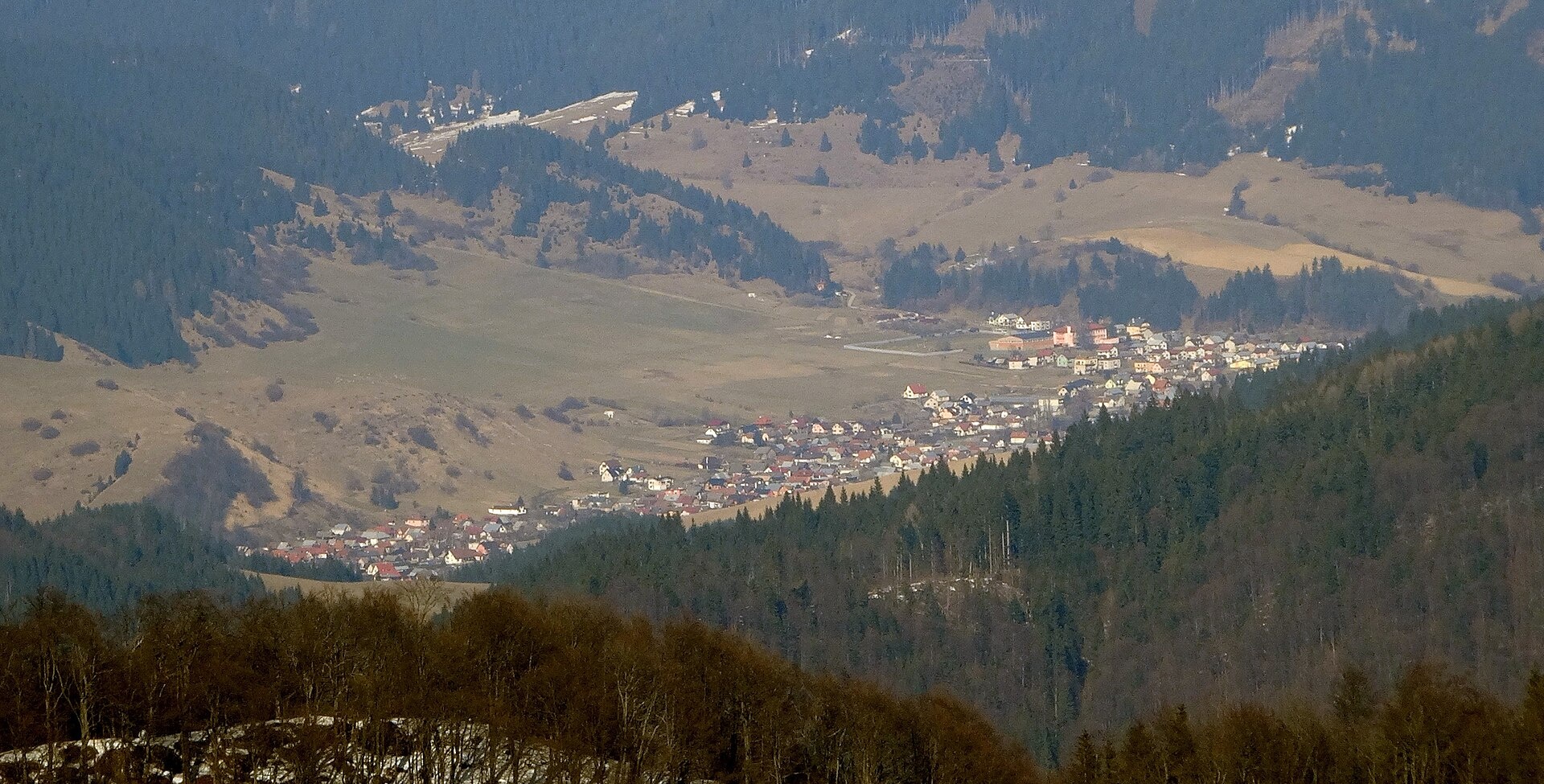
Liptovské Revúce is a village and municipality in the Ružomberok District, Žilina region, Slovakia. It lies in the picturesque valley of the Revúca river, deeply set among the peaks of the Greater Fatra mountains. The municipality covers an area of 76.91 km² and sits at an elevation of 684 metres. Liptovské Revúce borders the Martin, Dolný Kubín, and Liptovský Mikuláš districts, and consists of three parts: Nižná Revúca, Stredná Revúca, and Vyšná Revúca.
The first historical mention of Liptovské Revúce dates back to 1233. Since then, the village has developed as a mountain community, preserving traditional ways of life and local customs.
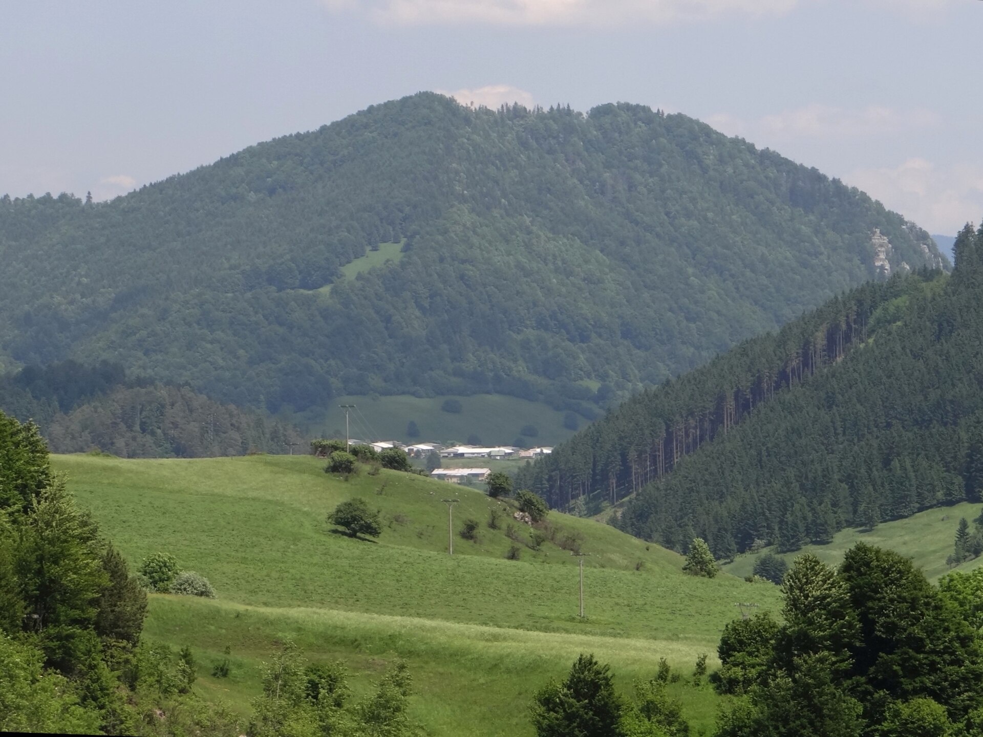
The area is known for its natural landscapes, alpine meadows, and the ridges of the Greater Fatra. Visitors are drawn by the scenic surroundings, including the Križna and Borišov meadows, as well as proximity to peaks such as Ostredok and Ploská. The region offers unique mountain views and the authentic atmosphere of a Slovak village in the Carpathians.
Liptovské Revúce serves as a starting point for numerous hiking trails, including “Sedlo Zamotskej hole – Magurka”, “Lupčianska dolina, Tajch – sedlo Latiborskej hole”, “Veľkofatranská magistrála”, and “Stredná Revúca – Horáreň Blatná”. Mountain hut enthusiasts can stay at “Chata pod Borišovom”, “Chata Smrekovica”, or “Horská chata Limba pod Rakytovom”. Notable sights include Križna and the meadows of Greater Fatra, Ploská and Borišov, and the Brankovský Waterfall.
Getting there from Ukraine
From Uzhhorod ≈275 km, ≈3 h 35 min without queues: Uzhhorod – Vyšné Nemecké → I/19 to Košice → D1 motorway via Prešov, Poprad and Liptovský Mikuláš to Ružomberok (≈270 km, ≈3 h 25 min from the border). From Lviv it is faster through Poland: M-10 → Krakovets – Korczowa → A4 to Kraków → S7/DK7 to the Chyżne – Trstená border → R3 and I/59 via Dolný Kubín to Ružomberok: ≈482 km, ≈6 h 15 min (via Uzhok and Ubľa ≈500 km, ≈7 h 30 min). The D1 requires an e-vignette (eznamka.sk).
Sources: Wikipedia, Wikidata, OpenStreetMap, Karpaty.rocks data. More on Wikipedia
What's nearby
Trails nearby
All trails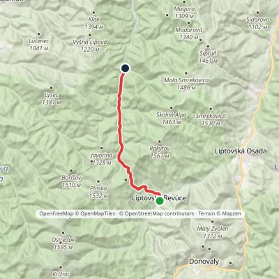 ModerateOne-dayMarkedStredná Revúca Blatná Forester's LodgeElevation profile662–1 269 m13 kmascent 605 m≈ 4.5 h walkingunder 1 km from the centre
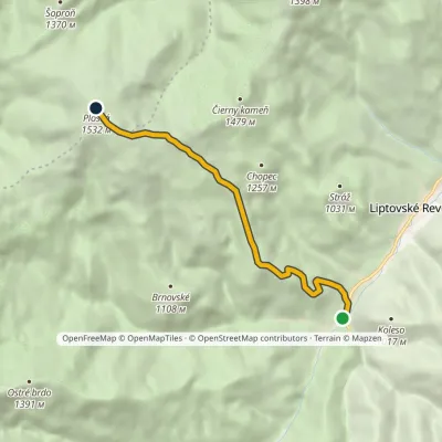 ModerateOne-dayMarkedVyšná Revúca PloskáElevation profile707–1 532 m5.8 kmascent 825 m≈ 3 h walking1.5 km from the centre
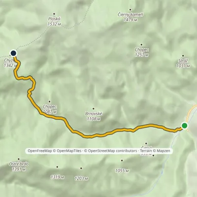 EasyOne-dayMarkedVyšná Revúca ChyžkyElevation profile708–1 306 m6.6 kmascent 597 m≈ 3 h walking1.8 km from the centre
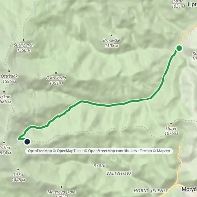 ModerateOne-dayMarkedVyšná Revúca Rybovské SaddleElevation profile708–1 322 m8 kmascent 614 m≈ 3 h walking1.8 km from the centre
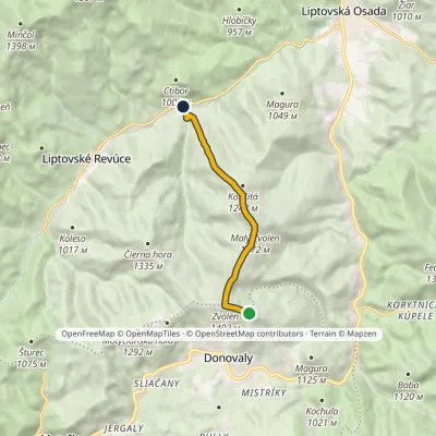 EasyOne-dayMarkedNižná Revúca ZvolenElevation profile654–1 402 m6.3 kmascent 112 m≈ 2 h walking2.6 km from the centre
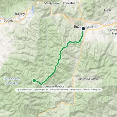 HardTwo-dayMarkedRužomberok, A Hlinka Square Hut under Borišov, junctionElevation profile494–1 567 m30 kmascent 889 m≈ 9.5 h walking3.2 km from the centre
Peaks nearby
All peaks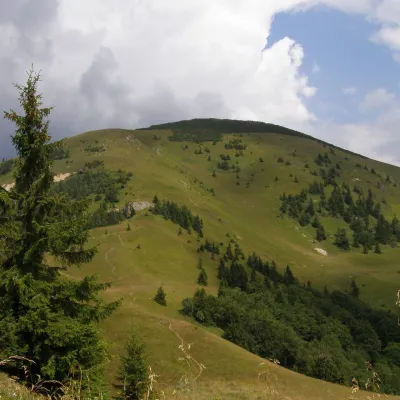 PeakRakytovLiptovské Revúcealtitude 1 567 m4.5 km from the centreRakytov is a 1,567 m mountain in the Greater Fatra (Veľká Fatra) in Slovakia and the highest summit of the so-called Liptov branch of the main ridge, part of the Hôľna...
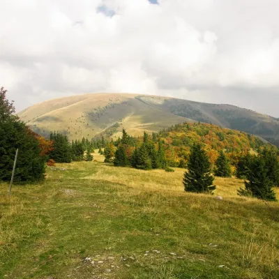 PeakPloskáLiptovské Revúcealtitude 1 532 m4.7 km from the centre1 trail to the topPloská is a 1,532 m summit on the main ridge of the Greater Fatra (Veľká Fatra) in Slovakia and one of the highest peaks of the range.
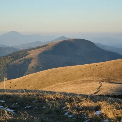 PeakBorišovLiptovské Revúcealtitude 1 510 m6.9 km from the centreBorišov is a 1,510 m summit in the central part of the Greater Fatra (Veľká Fatra) in Slovakia, in its highest section, the Hôľna Fatra.
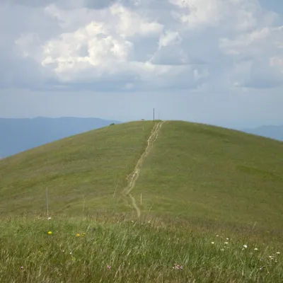 PeakOstredokTureckáaltitude 1 596 m7.5 km from the centre1 trail to the topOstredok is the highest peak of the Greater Fatra (Veľká Fatra) at 1,596 m. It lies in the central part of the range, in the Hôľna Fatra, above the village of...
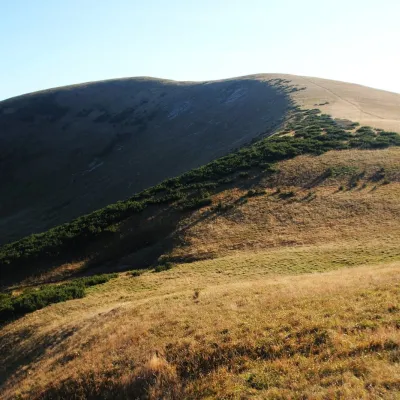 PeakFrčkovTureckáaltitude 1 585 m7.9 km from the centre1 trail to the topFrčkov is a 1585 m summit in the central part of the Greater Fatra (Veľká Fatra) in Slovakia, the second highest in the range after Ostredok.
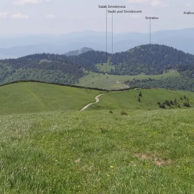 PeakSmrekovTureckáaltitude 1 441 m12 km from the centreSmrekov is a 1441 m summit in the southern part of the Greater Fatra (Veľká Fatra) in Slovakia. It belongs to the Bralná Fatra, the part of the range where many...
What to visit
All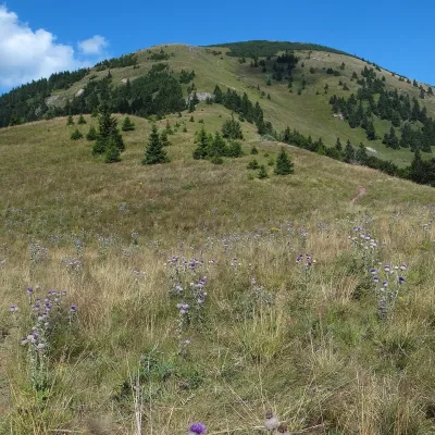 Mountain meadowThe hole of Rakytov – the grassy Liptov ridge of Veľká FatraLiptovské Revúcealtitude 1 567 m4.5 km from the centreRakytov (1,567 m) is the highest summit of the Liptov branch of the main ridge of Veľká Fatra in Slovakia, in the Hôľna Fatra subunit, whose name comes from "hole" –...
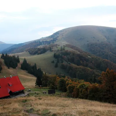 Mountain meadowPloská and Borišov: meadows and mountain hut in the heart of Veľká FatraLiptovské Revúcealtitude 1 300 m6.3 km from the centrePloská (1,532 m) and Borišov (1,510 m) are two treeless summits in the very centre of Veľká Fatra, with the old Chata pod Borišovom mountain hut (about 1,300 m)...
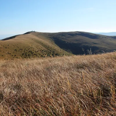 Mountain meadowKrížna and the hole meadows of Veľká FatraTureckáaltitude 1 574 m8.8 km from the centreKrížna (1,574 m) is a broad grassy massif in the central part of Veľká Fatra in Slovakia, the third-highest summit of these mountains after Ostredok and Frčkov.
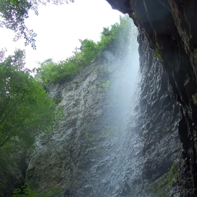 WaterfallBrankovský waterfall — the highest in the Low TatrasLiptovská Osada12 km from the centreThe Brankovský waterfall (Brankovský vodopád) is the highest waterfall in the Low Tatras: the water drops 55 m.
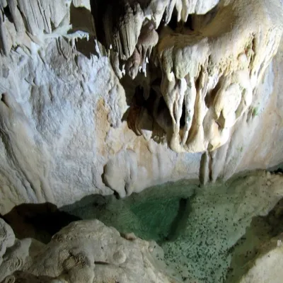 NatureHarmanecká CaveDolný Harmanec16 km from the centreThe “White Cave” above the Harmanec valley Harmanecká Cave (Harmanecká jaskyňa) lies in the valley of the Harmanec stream north-west of Banská Bystrica, in the...
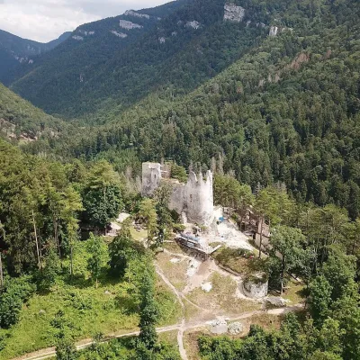 CastleBlatnica Castle and the Gader ValleyBlatnica17 km from the centreBlatnica Castle (Blatnický hrad) is a medieval ruin on the low but sharp limestone ridge of Plešovica (658 m), which separates the Gader valley (Gaderská dolina) from...
Craft nearby
All craft places Craft beer & breweriesURSUS craft brewery, Čutkovská valleyRužomberok19 km from the centreURSUS craft brewery (Remeselný pivovar URSUS) is the first brewery of the town of Ružomberok, tucked away in the picturesque Čutkovská valley in lower Liptov.
 Craft shopsÚĽUV Banská Bystrica: folk-craft shop and craft schoolBanská Bystrica21 km from the centreÚĽUV (Ústredie ľudovej umeleckej výroby, the Centre for Folk Art Production) is a state institution that has looked after Slovak folk crafts since 1945: it keeps a...
 Cheese dairies & pasturesSalaš Krajinka near RužomberokRužomberok21 km from the centreSalaš Krajinka is a genuine sheep farm on the edge of Ružomberok in lower Liptov. It was founded in 1983 to keep a thousand sheep, and the owners have deliberately...
 Water parks & thermal poolsBrusno Spa: mineral springs, treatments and Caracalla SpaBrusno22 km from the centreBrusno Spa (Kúpele Brusno) lies in the Hron valley (Horehronie), about 20 km north-east of Banská Bystrica, on the northern slopes of the Vepor massif in the Slovak...
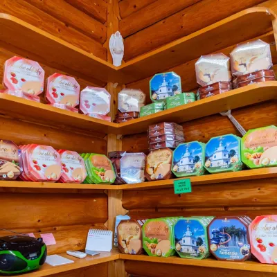 Cheese dairies & pasturesTuriec bryndza dairy, Turčianske Teplice: bryndza since 1917Turčianske Teplice24 km from the centreMore than a hundred years of Turiec bryndza Turiec is a wide basin between the ridges of the Veľká and Malá Fatra, a land of pastures and old sheep farming.
 Craft beer & breweriesUrpiner brewery in Banská Bystrica: tour and beer from the tankBanská Bystrica24 km from the centreBanská Bystrica is the centre of Central Slovakia and grew rich on copper mining in the 14th–16th centuries.
Spas and thermal pools nearby
Water parks & thermal poolsBrusno Spa: mineral springs, treatments and Caracalla SpaBrusno22 km from the centreBrusno Spa (Kúpele Brusno) lies in the Hron valley (Horehronie), about 20 km north-east of Banská Bystrica, on the northern slopes of the Vepor massif in the Slovak...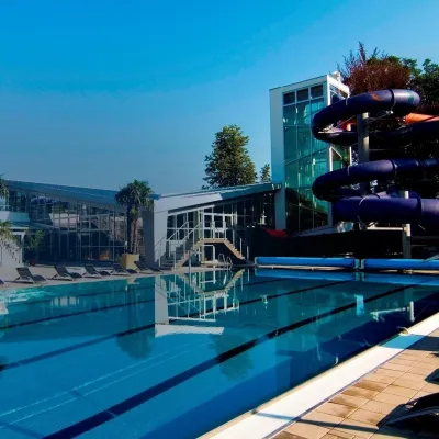 Water parks & thermal poolsSpa & Aquapark Turčianske TepliceTurčianske Teplice24 km from the centreTurčianske Teplice is one of Slovakia’s oldest spa towns. Its warm springs were first mentioned in 1281 in a deed of gift by King Ladislaus IV, and from 1533 they...
 Water parks & thermal poolsBešeňová Water ParkBešeňová28 km from the centreBešeňová — the "thermal heart of Liptov" Bešeňová Water Park (Vodný park Bešeňová) lies on the edge of the village of the same name in the western part of the Liptov...
Huts, shelters and springs nearby
 1 312 mMountain shelterBorišov HutGreater Fatra · SlovakiaStandingOn a trailSleeps up to 20Meals served
Getting there from Ukraine
Border crossings
- Uzhhorod – Vyšné Nemecké — road, 24/7
- Malyi Bereznyi – Ubľa — road, 24/7 For cars and buses; pedestrians not confirmed by the Ukrainian border service, lorries up to 3.5 t.
- Mali Selmentsi – Veľké Slemence (pedestrian) — pedestrian, 09:00–21:00 Kyiv time Pedestrians and cyclists only; inconvenient for the Tatras without onward transport.
- Chop – Čierna nad Tisou (rail) — rail, 24/7
By car
From Uzhhorod ≈275 km, ≈3 h 35 min without queues: Uzhhorod – Vyšné Nemecké → I/19 to Košice → D1 motorway via Prešov, Poprad and Liptovský Mikuláš to Ružomberok (≈270 km, ≈3 h 25 min from the border). From Lviv it is faster through Poland: M-10 → Krakovets – Korczowa → A4 to Kraków → S7/DK7 to the Chyżne – Trstená border → R3 and I/59 via Dolný Kubín to Ružomberok: ≈482 km, ≈6 h 15 min (via Uzhok and Ubľa ≈500 km, ≈7 h 30 min). The D1 requires an e-vignette (eznamka.sk).
Checked 23.10.2026; border crossing hours and timetables change — check before you travel.
