Stredná Revúca – Blatná Forester's Lodge
Trail map
Route, springs and shelters: © OpenStreetMap contributors (ODbL) · elevation: Copernicus DEM © DLR e.V., © Airbus DS · Data & licences
About the trail
Route Stredná Revúca – Blatná Forester's Lodge. Has red marking (national route №0858, KST). Waymarking data: OpenStreetMap (© OpenStreetMap contributors, ODbL).
Officially marked national tourist route No. 0858. Marking is red, sign — horizontal stripe on a white background. Marked and maintained by: KST. Length of the route — 13 km. Location: mountain range — Velka Fatra, Slovakia.
At a glance
A one-day route of 13 km with 605 m of ascent from Stredná Revúca to Blatná Forester's Lodge. Estimated walking time: about 4 h, not counting stops. Difficulty: moderate. Waymarking: red.
Route stages
- 0–3 kmClimb of 490 m (up to 1,177 m)
- 3–5 kmGentle ups and downs at 1,170–1,270 m
- 5–6 kmDescent of 260 m (down to 935 m)
- 6–13 kmGentle ups and downs at 660–940 m
Steepest kilometre: km 5–6, a descent of 330 m (≈33%).
Water and overnight stays
Springs near the trail: at km 1, 2, 3, 4, 6, 8 and 12. Some springs run low or dry up in late summer.
When to go
Best time: May to October. In winter deep snow is possible, so experience and winter gear are needed.
Getting there
Start: Stredná Revúca. This is a one-way route: the finish is 10 km from the start in a straight line, so plan your way back in advance.
FAQ
- How long does the route take?
- Estimated walking time: about 4 h, not counting stops.
- Is there water on the route?
- Springs near the trail: at km 1, 2, 3, 4, 6, 8 and 12. Some springs run low or dry up in late summer.
Water and shelter on the route
- Captured Spring near Malá Turecká Campsitekm 0.8 from the start · Not verified · 719 m
- Malá Turecká Springkm 1.7 from the start · 160 m off the path · Not verified · 882 m
- Spring below Stráž (north-west slope)km 2.4 from the start · 110 m off the path · Not verified · 990 m
- Spring below Chopec (north slope)km 3.3 from the start · 140 m off the path · Not verified · 1 216 m
- Skalnitá Springkm 4.2 from the start · 130 m off the path · Not verified · 1 229 m
- Kamenná, 1 190 mkm 4.8 from the start · 160 m off the path · Not verified · 1 190 m
- Spring below Minčol (west slope)km 5.7 from the start · Not verified · 927 m
- Spring below Matejová (north-east slope), 806 mkm 7.7 from the start · Not verified · 806 m
- Spring below Matejová (north slope), 839 mkm 8.1 from the start · 160 m off the path · Not verified · 839 m
- Lesy SR Captured Springkm 11.7 from the start · Not verified · 695 m
Comments
Trails nearby
All trails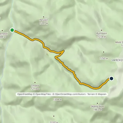 EasyOne-dayMarkedHoráreň Blatná Močidlo, Hotel SmrekovicaElevation profile662–1 307 m6 kmascent 645 m≈ 3 h walking
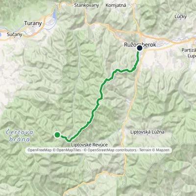 HardTwo-dayMarkedRužomberok, A Hlinka Square Hut under Borišov, junctionElevation profile494–1 567 m30 kmascent 889 m≈ 9.5 h walking
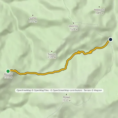 EasyOne-dayMarkedMočidlo BorišovElevation profile868–1 510 m4.6 kmascent 6 m≈ 1 h walking
Craft nearby
All craft places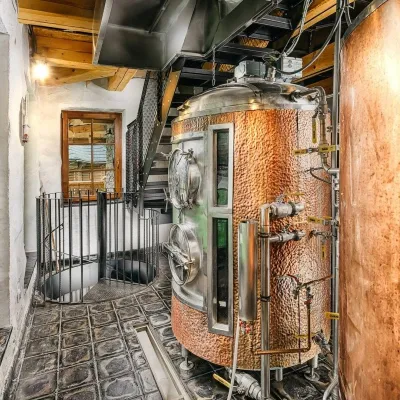 Craft beer & breweriesURSUS craft brewery, Čutkovská valley19 km from the trailURSUS craft brewery (Remeselný pivovar URSUS) is the first brewery of the town of Ružomberok, tucked away in the picturesque Čutkovská valley in lower Liptov.
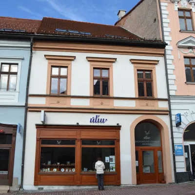 Craft shopsÚĽUV Banská Bystrica: folk-craft shop and craft school21 km from the trailÚĽUV (Ústredie ľudovej umeleckej výroby, the Centre for Folk Art Production) is a state institution that has looked after Slovak folk crafts since 1945: it keeps a...
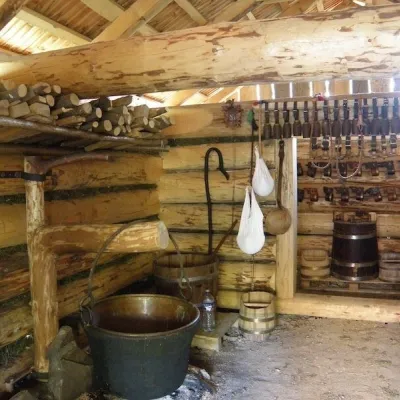 Cheese dairies & pasturesSalaš Krajinka near Ružomberok21 km from the trailSalaš Krajinka is a genuine sheep farm on the edge of Ružomberok in lower Liptov. It was founded in 1983 to keep a thousand sheep, and the owners have deliberately...
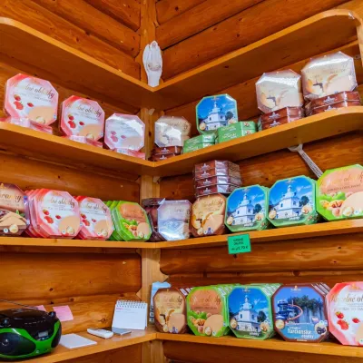 Cheese dairies & pasturesTuriec bryndza dairy, Turčianske Teplice: bryndza since 191724 km from the trailMore than a hundred years of Turiec bryndza Turiec is a wide basin between the ridges of the Veľká and Malá Fatra, a land of pastures and old sheep farming.
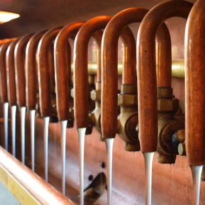 Craft beer & breweriesUrpiner brewery in Banská Bystrica: tour and beer from the tank24 km from the trailBanská Bystrica is the centre of Central Slovakia and grew rich on copper mining in the 14th–16th centuries.
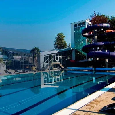 Water parks & thermal poolsSpa & Aquapark Turčianske Teplice24 km from the trailTurčianske Teplice is one of Slovakia’s oldest spa towns. Its warm springs were first mentioned in 1281 in a deed of gift by King Ladislaus IV, and from 1533 they...
