Kežmarok – Tvarožná
Trail map
Route, springs and shelters: © OpenStreetMap contributors (ODbL) · elevation: Copernicus DEM © DLR e.V., © Airbus DS · Data & licences
About the trail
Route Kežmarok – Tvarožná. Has blue marking (regional route, KST). Waymarking data: OpenStreetMap (© OpenStreetMap contributors, ODbL).
Officially marked regional tourist route. The marking is blue, the sign is a horizontal stripe on a white background. Marked and maintained by: KST. Length of the route — 16.4 km. Location: mountain range — Spišská Magura, Slovakia.
At a glance
A one-day route of 16.4 km with 279 m of ascent from Kežmarok to Tvarožná. Estimated walking time: about 4.5 h, not counting stops. Difficulty: moderate. Waymarking: blue.
How we estimate walking time
By Naismith's rule, used by mountain clubs and guidebooks: an average hiker walks 4 km an hour on the flat and needs one more hour for every 600 m of ascent. For this trail: 16.4 km ÷ 4 = 4.1 h + 279 m ÷ 600 = 0.5 h, about 4.5 h of walking in total.
- Breaks, snacks and photos: add 20–30 %.
- A heavy pack, children, snow, a wet path or windfall add more; a long steep descent also takes time, especially for the knees.
- The height of the Carpathians (up to 2,655 m) hardly changes the pace — on the ridges wind, fog and weather slow you down.
- Limits: up to 9 h is one day; 9–13 h is a very long day or two; over 13 h means several days with overnight stays.
Route stages
- 0–10 kmGentle ups and downs at 610–770 m
- 10–12 kmDescent of 110 m (down to 658 m)
- 12–14 kmClimb of 120 m (up to 777 m)
- 14–16 kmDescent of 100 m to Tvarožná
Steepest kilometre: km 12–13, a climb of 100 m (≈10%).
Water and overnight stays
Our map shows no springs near the trail — bring your own water (at least 2.5 l).
When to go
The route can be walked most of the year; it is most comfortable from April to October.
Getting there
Start: Kežmarok. This is a one-way route: the finish is 7 km from the start in a straight line, so plan your way back in advance.
FAQ
- How long does the route take?
- Estimated walking time: about 4.5 h, not counting stops.
- Is there water on the route?
- Our map shows no springs near the trail — bring your own water (at least 2.5 l).
Comments and trail condition
Travellers’ experience: reports, tips, questions.
No one has reported on this trail yet. Been here lately? Tell others what it is like now.
Wildlife along the route
All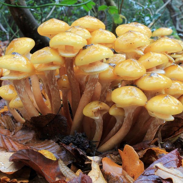
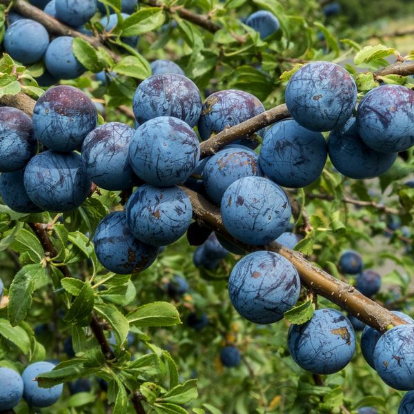
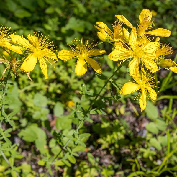
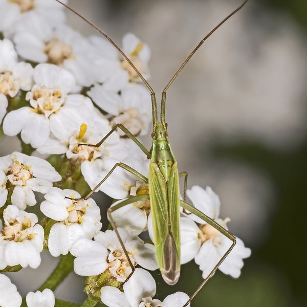
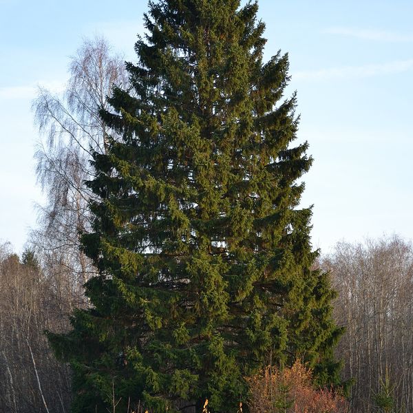
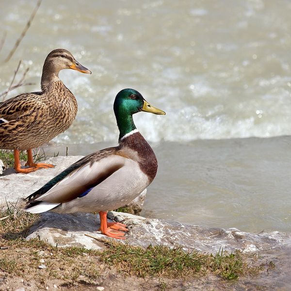
- Brown bears live in this area — how to behave
- Adders live here — what to do after a bite
- Mushroom season — but never identify a mushroom from a photo alone
Based on naturalists’ records nearby (GBIF, iNaturalist), matched by altitude, habitat and season. Sightings are not guaranteed.
Trails nearby
All trails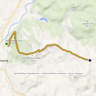 EasyOne-dayMarkedJeruzalemský vrch Kamenný vrchElevation profile617–755 m6 kmascent 160 m≈ 2 h walking
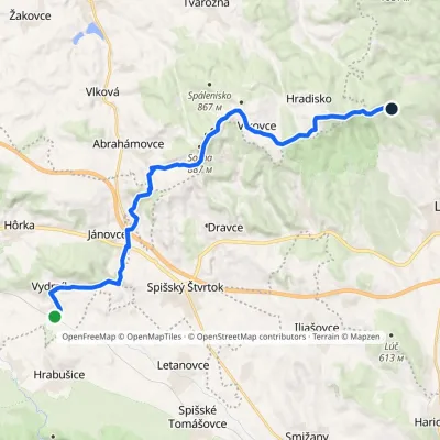 ModerateOne-dayMarkedZbojnícka lúka Vydrník, stationElevation profile550–936 m18.6 kmascent 548 m≈ 5.5 h walking
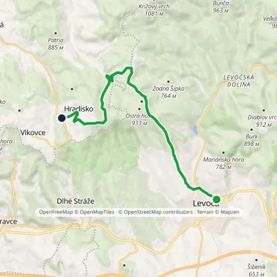 ModerateOne-dayMarkedLevoča Zbojnícka lúkaElevation profile529–936 m12.3 kmascent 491 m≈ 4 h walking
Craft nearby
All craft places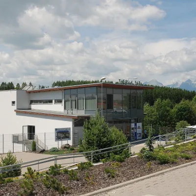 Water parks & thermal poolsThermal Park VrbovVrbov6 km from the trailThermal Park Vrbov is one of the best-known thermal baths in the Spiš region, on the southern edge of the village of Vrbov, about 6 km (as the crow flies) from...
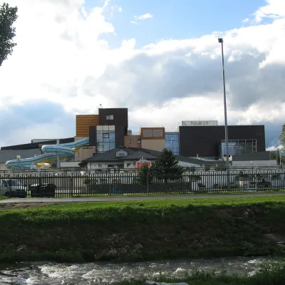 Water parks & thermal poolsAquaCity Poprad water parkPoprad12 km from the trailAquaCity Poprad is a large year-round water park and wellness complex in the town of Poprad, a few minutes from the centre; according to the complex, the High Tatras...
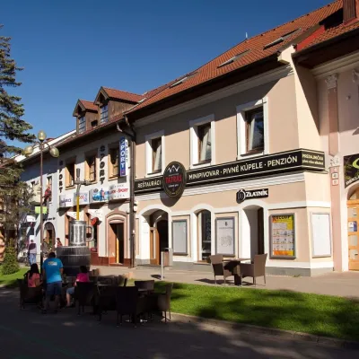 Craft beer & breweriesMinipivovar TATRAS, PopradPoprad13 km from the trailMinipivovar TATRAS is a brewpub on Poprad’s main square, Námestie sv. Egídia, housed in a building with a long brewing history.
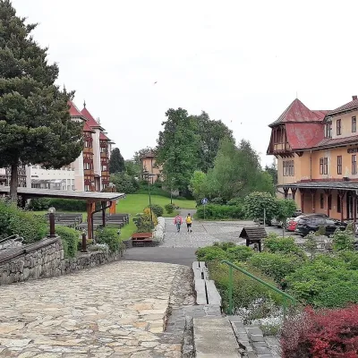 Water parks & thermal poolsClimatic spas of the High Tatras: Nový Smokovec, Polianka, KotlinaVysoké Tatry15 km from the trailNový Smokovec is the best known of the climatic spas of the High Tatras. It grew up in a spruce forest at about 1010 m, south-west of Starý Smokovec, with which it...
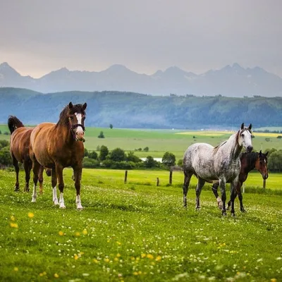 Horse ridingRanč u Trapera, Podlesok: Horse Rides in the Slovak ParadiseHrabušice20 km from the trailA little away from the main tourist bustle, below the forest, stands the family-run Ranč u Trapera, run by the Salaj family.
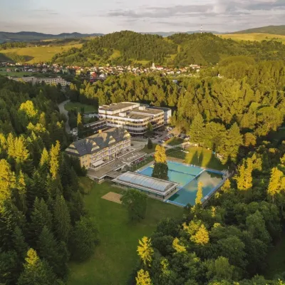 Water parks & thermal poolsVyšné Ružbachy Spa: Izabela Mountain Pools and Indoor Thermal PoolVyšné Ružbachy21 km from the trailVyšné Ružbachy is one of Slovakia’s oldest spas. It lies on the south-eastern slope of the Spišská Magura at about 617 m, surrounded by coniferous forest that merges...
