Kežmarský štít
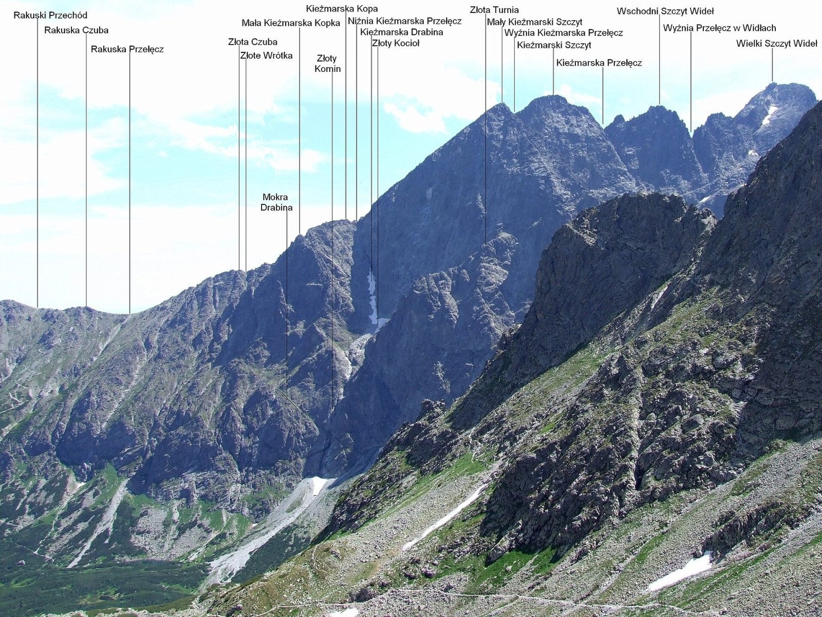
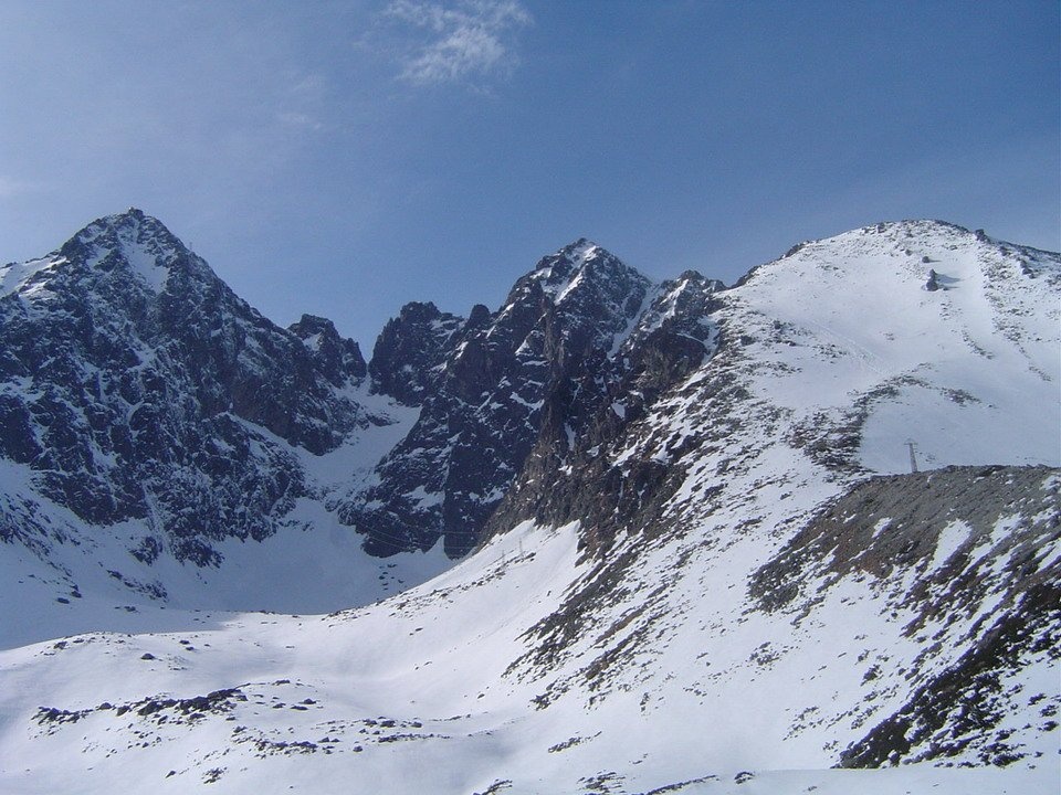
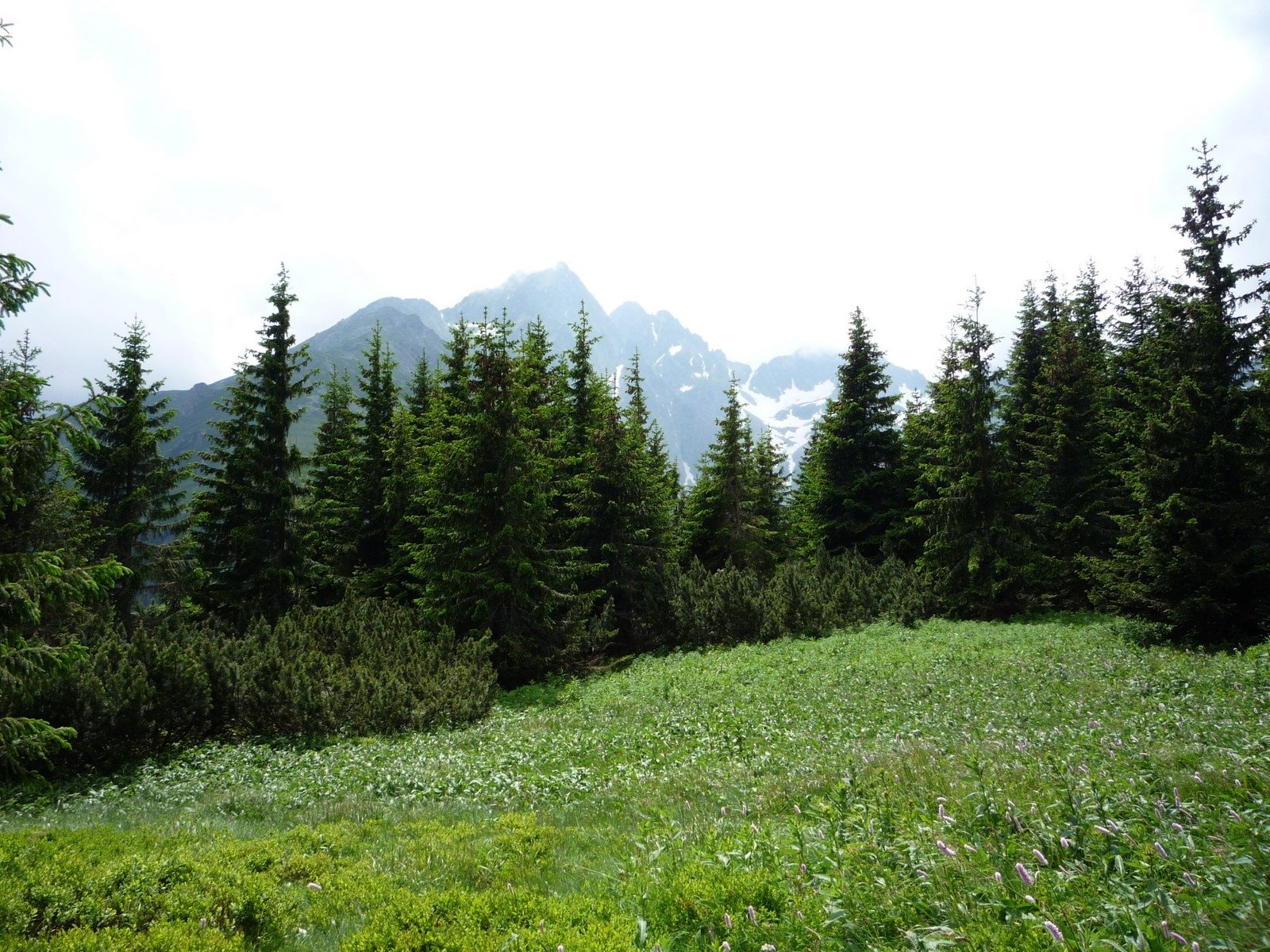
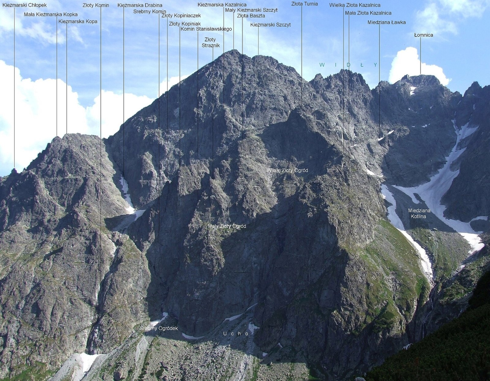
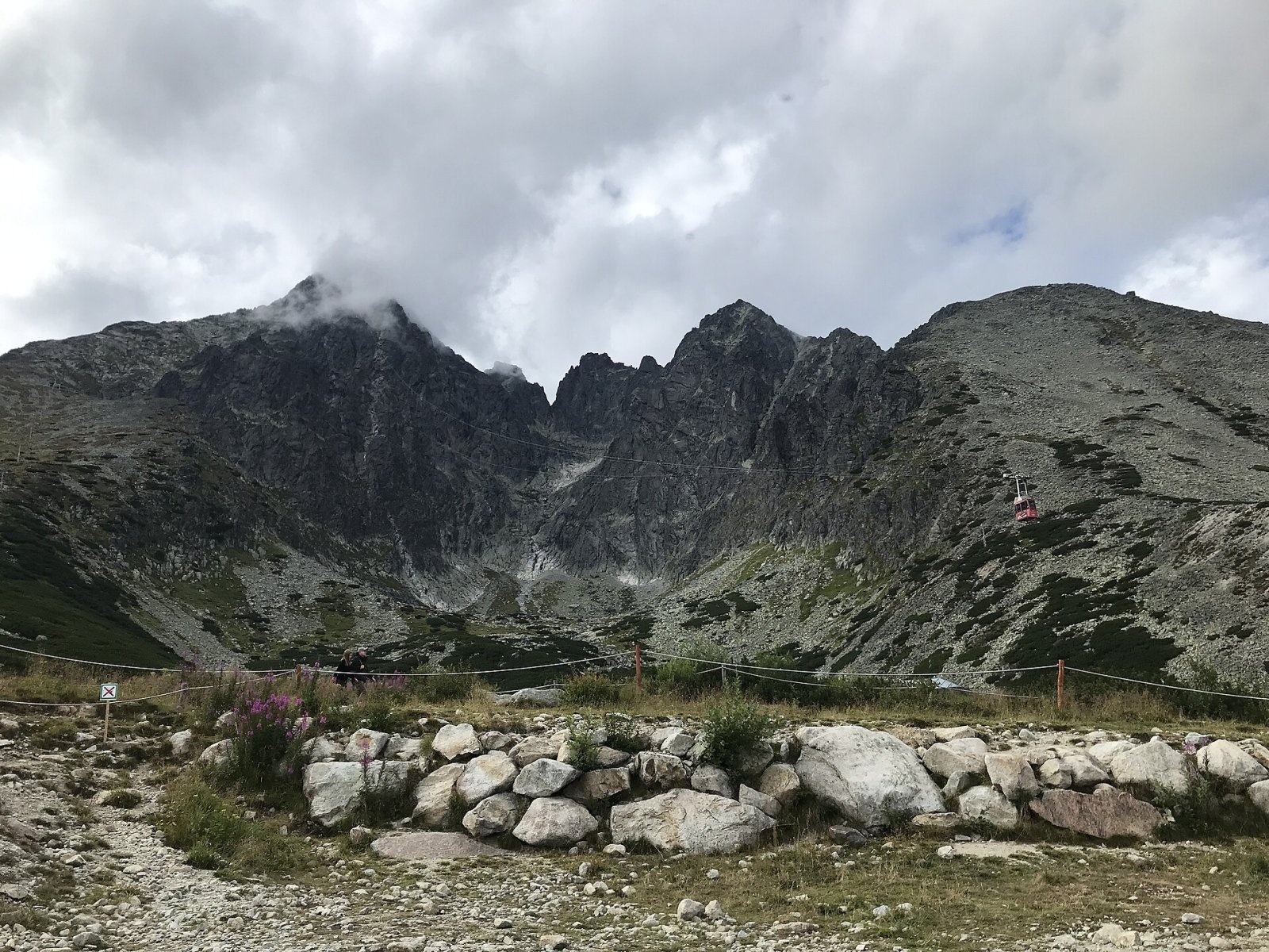
Kežmarský štít (Polish Kieżmarski Szczyt, German Kesmarker Spitze) is a 2556 m granite summit in the Slovak High Tatras and one of the highest peaks of the whole range. It rises above Tatranské Matliare and Tatranská Lomnica, about 16 km north-west of the town of Kežmarok, within the town of Vysoké Tatry in Poprad District of the Prešov Region. It is part of the Polish list known as the Great Crown of the Tatras.
Kežmarský štít is the highest point of the north-eastern spur of Lomnický štít, to which it is linked by the Vidlový hrebeň ridge. At the summit the ridge splits: one arm runs south-east via the Huncovské sedlo saddle to Huncovský štít (2352 m), the other north to Malý Kežmarský štít (2514 m). The faces of the mountain tower above the Medená kotlina cirque and the Kežmarská Biela voda valley to the north, the Huncovská kotlinka to the east and the Skalnatá dolina valley with Skalnaté pleso to the south.
How to get there / routes
There is no marked hiking trail to the summit. Kežmarský štít lies within national nature reserves of the Tatra National Park (TANAP), so ordinary hikers may climb it only with a licensed mountain guide (horský vodca); only climbers go on their own, under the park rules.
- The normal route leads from Skalnaté pleso to Huncovské sedlo and then up the north-east slope to the top – mostly on a path, but with sections of easy scrambling.
- Other options start from the Kežmarská štrbina notch, from the saddle below Svišťovka via Malý Kežmarský štít, or from the Huncovská kotlinka.
- The approach is much shortened by the cable cars from Tatranská Lomnica to Skalnaté pleso and on to Lomnické sedlo. The nearest marked trail is the red one from Skalnaté pleso via Veľká Svišťovka to the chalet at Zelené pleso.
What you can see from the top
The rocky summit offers an all-round view: the neighbouring High Tatra peaks, the ridge of the Belianske Tatras and, in good visibility, the Low Tatras, the Orava Beskids, the Levoča Hills and the Slovak Ore Mountains, Branisko, Čergov and many summits of southern Poland. To the west the higher Lomnický štít partly blocks the view.
Nature and history
The massif is built of granite. Its roughly 550 m south face, dropping into the Skalnatá dolina, is considered one of the finest in the High Tatras and carries many hard climbing routes. The north-west face falls more than 500 m into the Medená kotlina.
The peak is named after the town of Kežmarok, whose land it once belonged to. The first described ascent of a Tatra summit is linked to it: in June 1615 David Frölich, a grammar-school student from Kežmarok, climbed the mountain with two friends and described it in his work Medulla geographiae practicae (1639). In 1654 Daniel Speer followed the same route. In the 18th century ore was prospected on the northern slopes. The first winter ascent was made by Günter Oskar Dyhrenfurth and Alfred Martin on 8 March 1906, and on 8 May 1988 Vlado Tatarka made the first ski descent of the west face – still regarded as one of the hardest in the Tatras.
Safety, season and rules
This is high-mountain rocky terrain: loose stone, snow until late spring and quickly changing weather. From 1 November to 31 May TANAP closes its high-mountain trails above the tree line for the season. Remember that there are no markings to the summit and that non-climbers may not go up without a guide. In the Slovak mountains help comes from the Mountain Rescue Service HZS: 18 300 (+421 18 300) or 112.
Interesting facts
- In old times Lomnický štít was called the "Grandfather" and Kežmarský štít the "Mother" or "Grandmother".
- Locals long mixed up the names of Kežmarský and Huncovský štít, until the village land boundaries were redrawn in 1863.
Photos: Jerzy Opioła, CC BY-SA 4.0; Kristo, CC BY-SA 3.0; Krzysztof Dudzik-Górnicki (User:ToSter), CC BY 3.0; Jerzy Opioła, CC BY-SA 4.0; Antimuonium, CC BY-SA 4.0; M. Betley, CC BY-SA 3.0 — Wikimedia Commons.
Getting there from Ukraine
Border crossings
- Uzhhorod – Vyšné Nemecké — road, 24/7
- Malyi Bereznyi – Ubľa — road, 24/7 For cars and buses; pedestrians not confirmed by the Ukrainian border service, lorries up to 3.5 t.
- Mali Selmentsi – Veľké Slemence (pedestrian) — pedestrian, 09:00–21:00 Kyiv time Pedestrians and cyclists only; inconvenient for the Tatras without onward transport.
- Chop – Čierna nad Tisou (rail) — rail, 24/7
By car
Uzhhorod – Poprad ≈195 km, ≈2 h 55 min without queues: Uzhhorod – Vyšné Nemecké checkpoint → I/19 via Sobrance and Michalovce → Košice → D1 motorway via Prešov → Poprad (Liptovský Mikuláš is ≈56 km further on the D1, total ≈249 km). Košice – Poprad ≈112 km. The D1 requires an e-vignette (eznamka.sk). Note: from Lviv the fastest way to Poprad is through Poland — Krakovets – A4 – Kraków – Zakopane – Łysa Polana ≈468 km (≈5 h 50 min); via Uzhok and Malyi Bereznyi ≈419 km but slower (≈6 h 40 min). Zakopane – Poprad ≈69 km, Zakopane – Liptovský Mikuláš ≈80 km.
Checked 23.10.2026; border crossing hours and timetables change — check before you travel.
Location on the map
Water and shelter nearby
- Spring below Čierna vežička1.1 km · Not verified · 2 055 m
- Spring below Huncovský štít1.2 km · Not verified · 1 918 m
- Green Tarn Hut1.2 km · Standing · 1 550 m
- Brukov prameň Spring1.2 km · Not verified · 1 868 m
- Skalnatá Hut1.8 km · Standing · 1 725 m
- Téry Hut1.8 km · Standing · 2 015 m
- Spring below Nižný kolový chlapík2.1 km · Not verified · 2 051 m
- Linda Spring2.2 km · Not verified · 1 585 m
- Zamkovský Hut2.8 km · Standing · 1 475 m
Comments
Trails nearby
All trails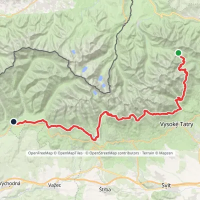 HardMulti-dayMarkedTatranská magistrála (Tatra Highway): Podbanské Veľké Biele plesoElevation profile929–2 043 m50.1 kmascent 1 639 munder 1 km from Kežmarský štít
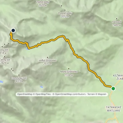 HardOne-dayMarkedBiela voda, car park Jahňací štítElevation profile917–2 230 m10.1 kmascent 1 313 m≈ 5 h walking1.2 km from Kežmarský štít
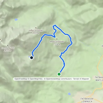 ModerateOne-dayMarkedŠtart Skalnaté plesoElevation profile1 122–1 757 m7.7 kmascent 631 m≈ 3 h walking1.4 km from Kežmarský štít
Nearby attractions
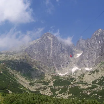 PeakLomnický štítTatranská Lomnicaaltitude 2 634 munder 1 km from Kežmarský štítLomnický štít (Polish Łomnica, German Lomnitzer Spitze) is one of the highest and most visited peaks of the High Tatras.
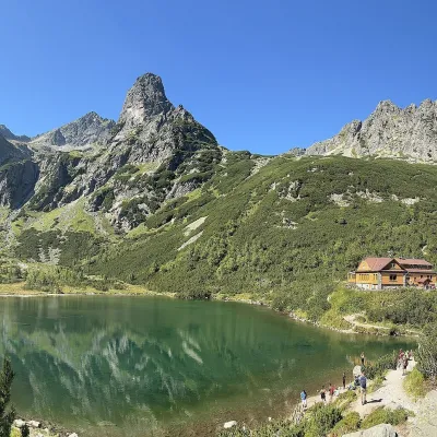 LakeZelené pleso (Kežmarské)Kežmarské Žľaby1.2 km from Kežmarský štítZelené pleso, often called Kežmarské Zelené pleso, is a moraine lake in the Dolina Zeleného plesa valley in the north-east of the High Tatras, at 1,545 m.
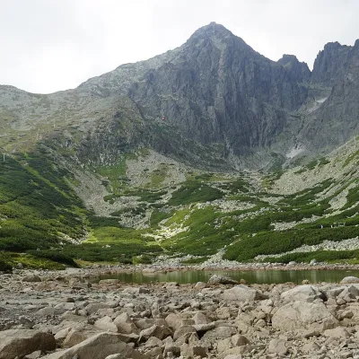 LakeSkalnaté pleso, Observatory and Lomnický štít Cable CarTatranská Lomnica1.5 km from Kežmarský štítSkalnaté pleso is a small moraine lake in the lowest cirque of the Skalnatá valley below Lomnický štít, at about 1,751–1,754 m.
Craft nearby
All craft places Water parks & thermal poolsClimatic spas of the High Tatras: Nový Smokovec, Polianka, KotlinaVysoké Tatry6.8 km from Kežmarský štítNový Smokovec is the best known of the climatic spas of the High Tatras. It grew up in a spruce forest at about 1010 m, south-west of Starý Smokovec, with which it...
 Cheese dairies & pasturesShepherd's Hut on Rusinowa PolanaBrzegi12 km from Kežmarský štítRusinowa Polana is one of the most beautiful mountain glades in the Polish Tatras, and from May to October it is home to the bacówka (shepherd's hut) of baca Stanisław...
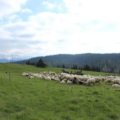 Cheese dairies & pasturesU Jancoka Shepherd's Hut, Brzegi: oscypek from Poland's first female bacaBrzegi16 km from Kežmarský štítThe U Jancoka shepherd's hut (bacówka) stands beside regional road 960, which runs from Bukowina Tatrzańska to the Łysa Polana border crossing, in the village of Brzegi.
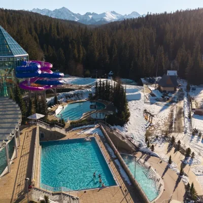 Water parks & thermal poolsTermy BukovinaBukowina Tatrzańska17 km from Kežmarský štítTermy Bukovina is a modern thermal pool complex in Bukowina Tatrzańska, a village lying about a thousand metres above sea level on the edge of the Tatra National Park.
 Water parks & thermal poolsAquaCity Poprad water parkPoprad17 km from Kežmarský štítAquaCity Poprad is a large year-round water park and wellness complex in the town of Poprad, a few minutes from the centre; according to the complex, the High Tatras...
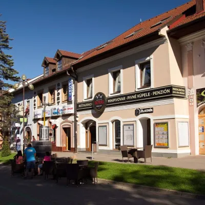 Craft beer & breweriesMinipivovar TATRAS, PopradPoprad17 km from Kežmarský štítMinipivovar TATRAS is a brewpub on Poprad’s main square, Námestie sv. Egídia, housed in a building with a long brewing history.
