Na hrádzi – Lúka
Trail map
Route, springs and shelters: © OpenStreetMap contributors (ODbL) · elevation: Copernicus DEM © DLR e.V., © Airbus DS · Data & licences
About the trail
Route Na hrádzi – Lúka. Has yellow marking (regional route №8148, KST). Waymarking data: OpenStreetMap (© OpenStreetMap contributors, ODbL).
Officially marked regional tourist route No. 8148. The marking is yellow, the sign is a horizontal stripe on a white background. Marked and maintained by: KST. Length of the route — 5.3 km. Location: mountain range — Povazsky Inovec, Slovakia.
At a glance
A short route of 5.3 km with 1 m of ascent from Na hrádzi to Lúka. Estimated walking time: about 1.5 h, not counting stops. Difficulty: easy. Waymarking: yellow.
How we estimate walking time
By Naismith's rule, used by mountain clubs and guidebooks: an average hiker walks 4 km an hour on the flat and needs one more hour for every 600 m of ascent. For this trail: 5.3 km ÷ 4 = 1.3 h + 1 m ÷ 600 = 0 h, about 1.5 h of walking in total.
- Breaks, snacks and photos: add 20–30 %.
- A heavy pack, children, snow, a wet path or windfall add more; a long steep descent also takes time, especially for the knees.
- The height of the Carpathians (up to 2,655 m) hardly changes the pace — on the ridges wind, fog and weather slow you down.
- Limits: up to 9 h is one day; 9–13 h is a very long day or two; over 13 h means several days with overnight stays.
Route stages
- 0–5.5 kmGentle ups and downs at 160–180 m
Water and overnight stays
Our map shows no springs near the trail — bring your own water (at least 1 l).
When to go
The route can be walked most of the year; it is most comfortable from April to October.
Getting there
Start: Na hrádzi. This is a one-way route: the finish is 4 km from the start in a straight line, so plan your way back in advance.
FAQ
- How long does the route take?
- Estimated walking time: about 1.5 h, not counting stops.
- Is there water on the route?
- Our map shows no springs near the trail — bring your own water (at least 1 l).
Comments and trail condition
Travellers’ experience: reports, tips, questions.
No one has reported on this trail yet. Been here lately? Tell others what it is like now.
Wildlife along the route
All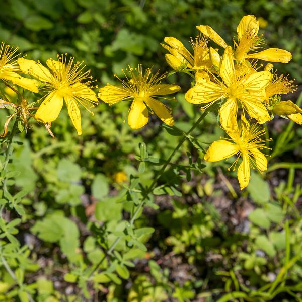
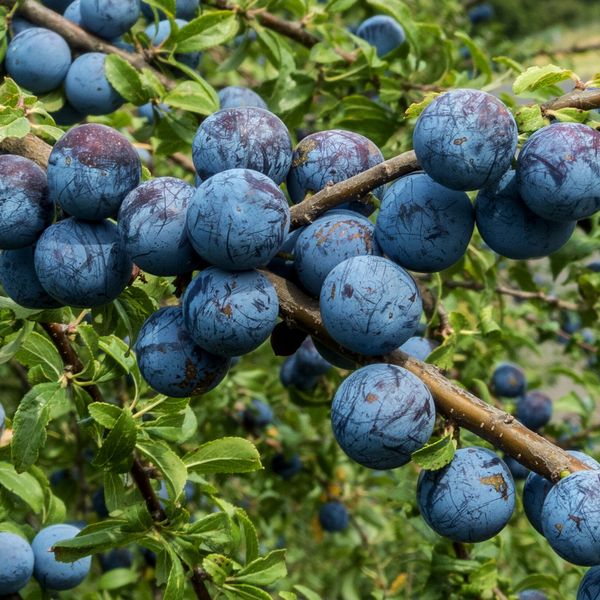
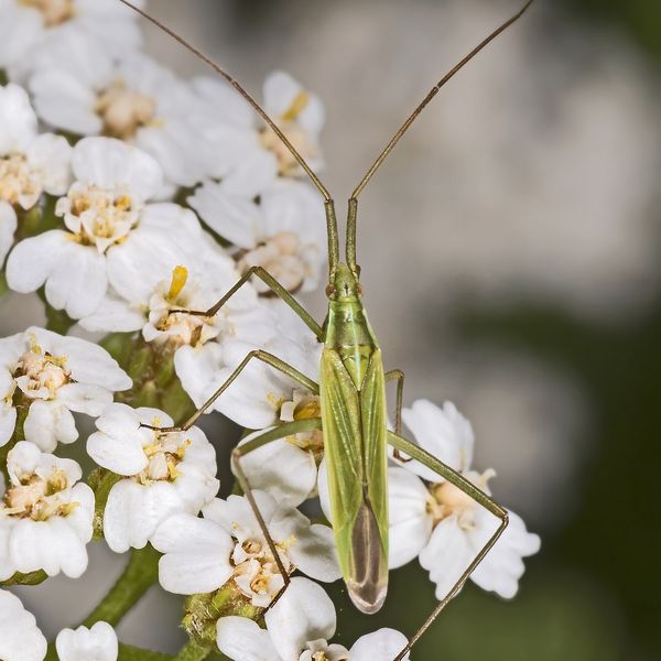
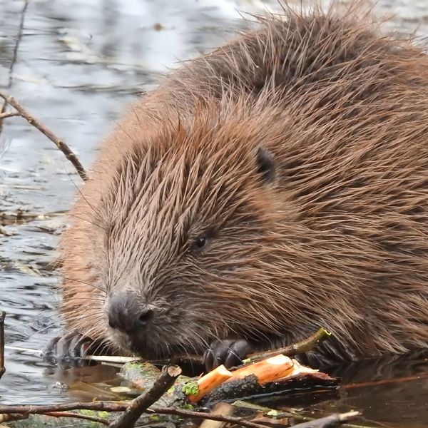

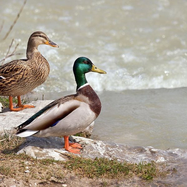
Based on naturalists’ records nearby (GBIF, iNaturalist), matched by altitude, habitat and season. Sightings are not guaranteed.
Trails nearby
All trails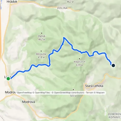 ModerateOne-dayMarkedLúka Bezovec, recreational centerElevation profile174–646 m9.9 kmascent 508 m≈ 3.5 h walking
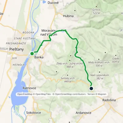 ModerateOne-dayMarkedPiešťany, colonnade bridge Čertova pec, motelElevation profile157–451 m12.1 kmascent 290 m≈ 3.5 h walking
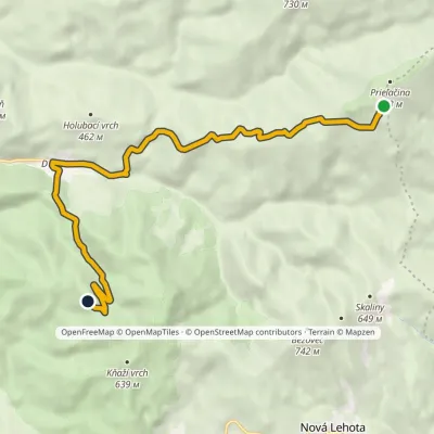 EasyOne-dayMarkedRuins of Tematín Castle Pod PrieľačinouElevation profile231–878 m10.2 kmascent 354 m≈ 3 h walking
Craft nearby
All craft places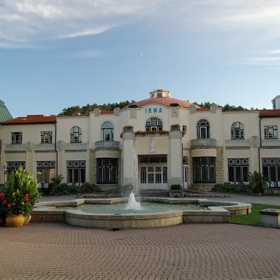 Water parks & thermal poolsPiešťany: the Spa Island, sulphur mud and thermal bathsPiešťany8.4 km from the trailPiešťany is Slovakia's best-known spa, spread out in the Váh valley between the Považský Inovec and the Little Carpathians.
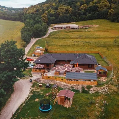 Cheese dairies & pasturesSalaš Beckov: 100% sheep’s cheese and bryndza dumplingsBeckov13 km from the trailA sheep salaš beside one of the Váh valley’s finest castles Beckov is a village in the Váh valley between Nové Mesto nad Váhom and Trenčín, overlooked by the ruins of...
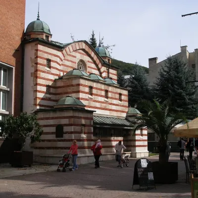 Water parks & thermal poolsTrenčianske Teplice: the Hammam and sulphur thermal bathsTrenčianske Teplice35 km from the trailTrenčianske Teplice is one of Slovakia's oldest spas, squeezed into a narrow wooded valley of the Strážov Mountains not far from Trenčín.
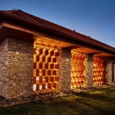 Honey & meaderiesVčelovina meadery, Smolenice: mead and honey beerSmolenice36 km from the trailThis is where the Včelovina meadery works — “a small production with a big heart”, as its founders put it.
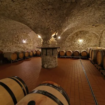 Wine & tastingsMagula Winery, Suchá nad Parnou: biodynamic wines and a farmSuchá nad Parnou38 km from the trailSuchá nad Parnou is a wine village on the south-eastern slopes of the Little Carpathians, near Trnava.
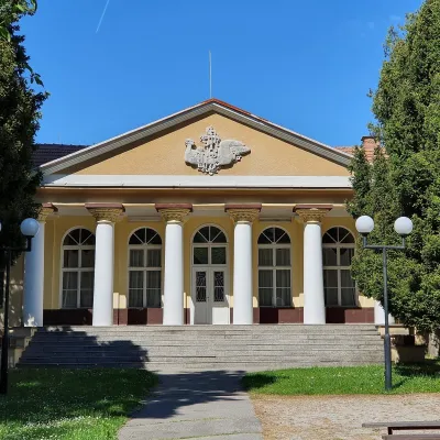 Water parks & thermal poolsSmrdáky: a hydrogen-sulphide spa for skin diseasesSmrdáky43 km from the trailSmrdáky is a small spa village in western Slovakia, on the edge of the Záhorie Lowland and the foothills of the White Carpathians, about 7 km from Senica and 80 km...
