Lúka
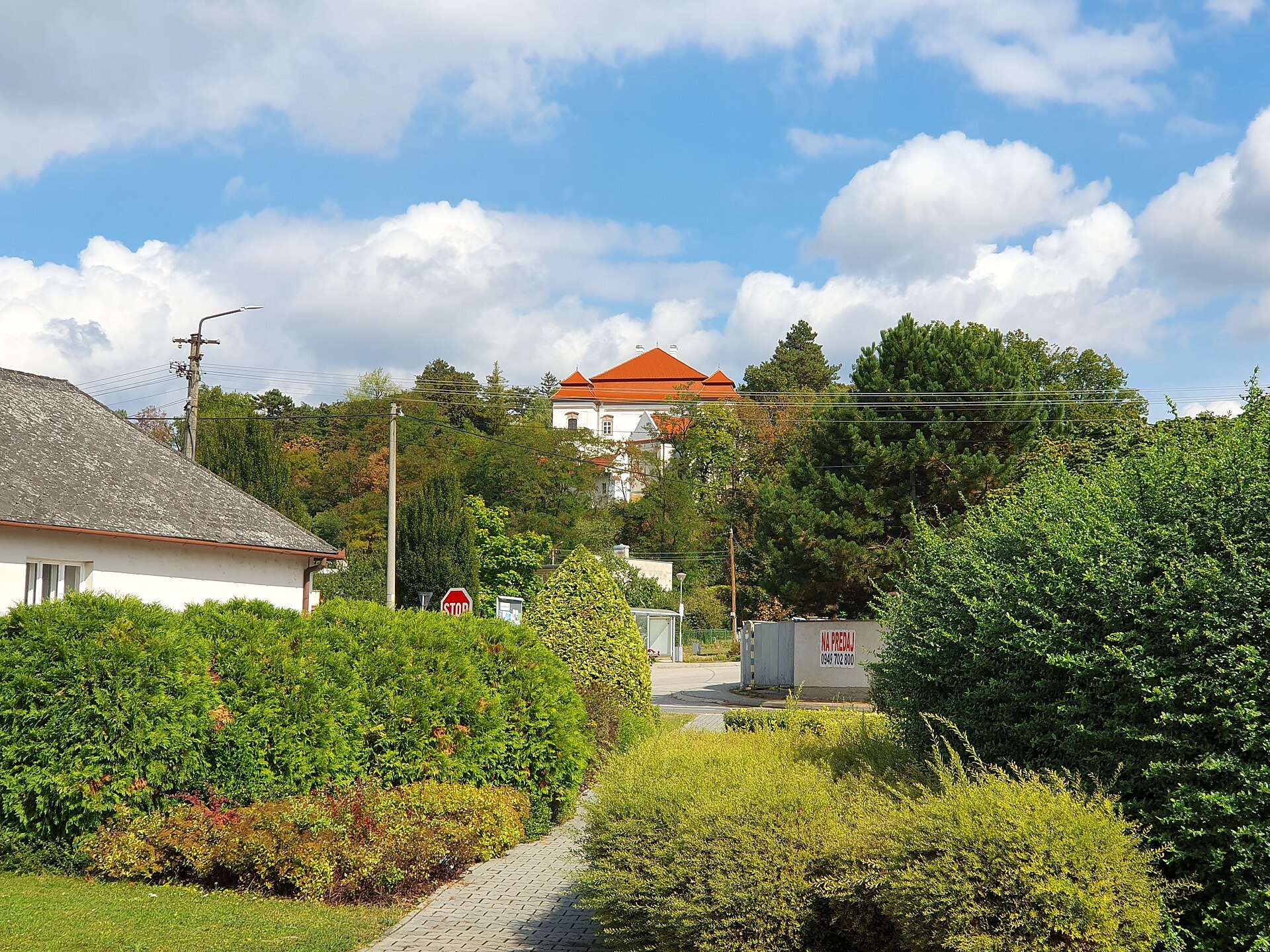
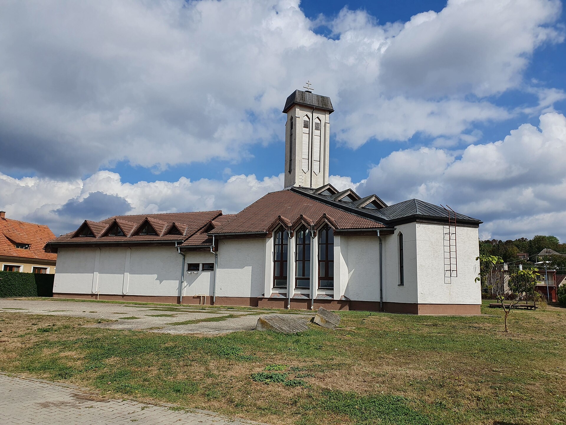
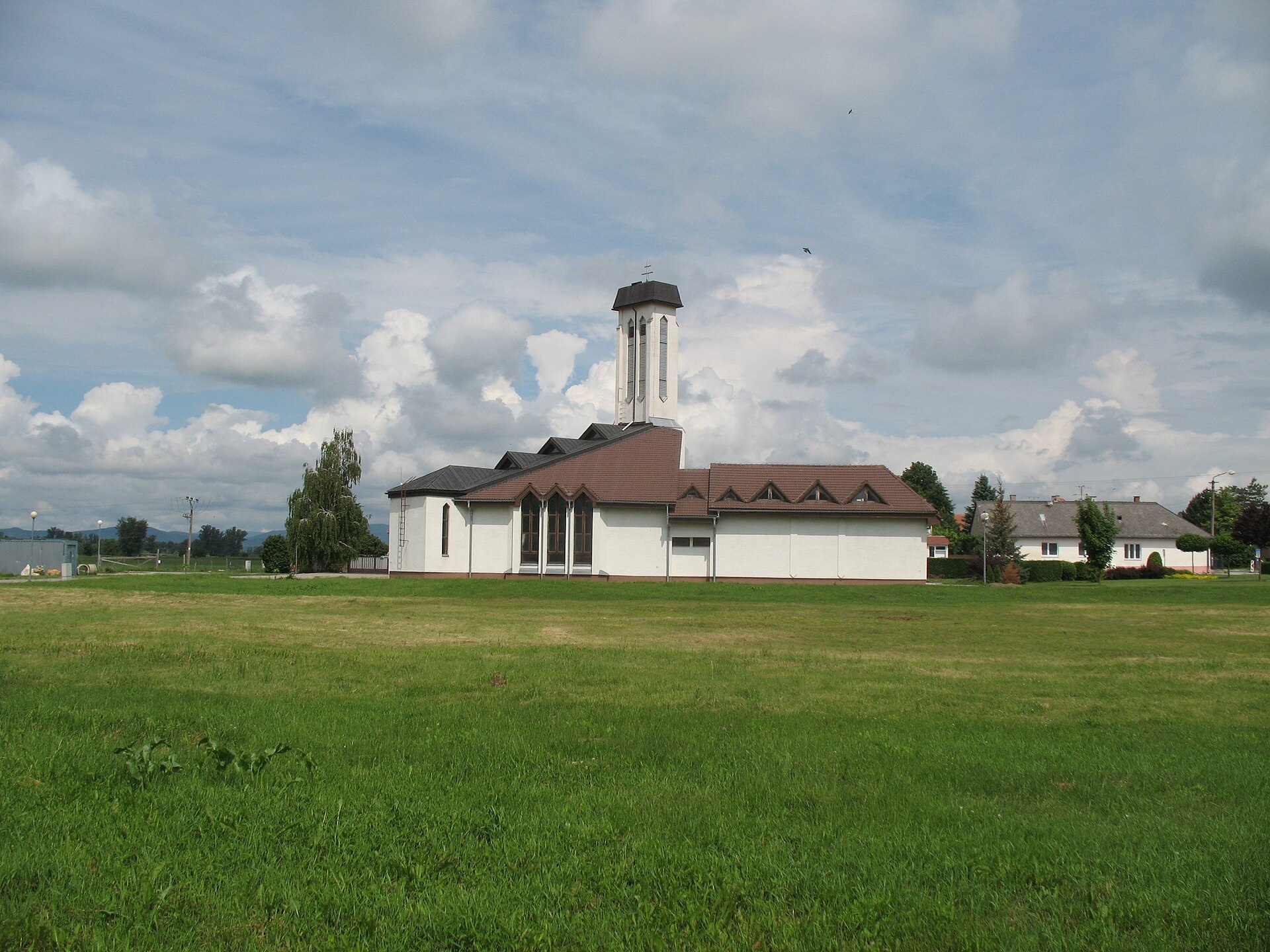
Photos: Akul59, CC BY-SA 4.0 (Wikimedia Commons); Akul59, CC BY-SA 4.0 (Wikimedia Commons); Taz666, CC BY-SA 3.0 (Wikimedia Commons)
Lúka is a village in Slovakia.
Elevation: about 174 m above sea level. Population: 750 (2025). Mountains nearby: Strážov Mountains.
Here and nearby on the site: 2 trails.
Facts: Wikidata, OpenStreetMap. More on Wikipedia
Trails nearby
All trails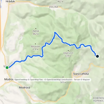 ModerateOne-dayMarkedLúka Bezovec, recreational centerElevation profile174–646 m9.9 kmascent 508 m≈ 3.5 h walkingunder 1 km from the centre
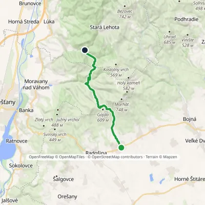 ModerateOne-dayMarkedNitrianska Blatnica Horáreň ModrováElevation profile225–564 m13.1 kmascent 524 m≈ 4.5 h walking4.1 km from the centre
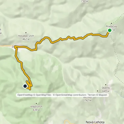 EasyOne-dayMarkedRuins of Tematín Castle Pod PrieľačinouElevation profile231–878 m10.2 kmascent 354 m≈ 3.5 h walking4.3 km from the centre
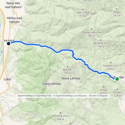 ModerateOne-dayMarkedHrádok PodhradieElevation profile176–638 m15.7 kmascent 222 m≈ 4.5 h walking4.4 km from the centre
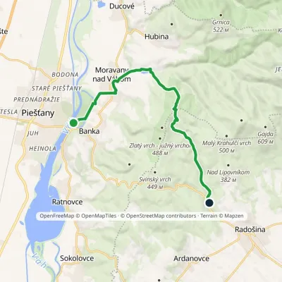 ModerateOne-dayMarkedPiešťany, colonnade bridge Čertova pec, motelElevation profile157–451 m12.1 kmascent 290 m≈ 3.5 h walking5.6 km from the centre
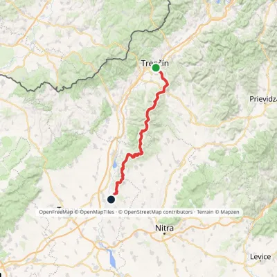 HardMulti-dayMarkedHlohovec Trenčín, Hotel ElizabethElevation profile145–1 041 m81.8 kmascent 2 463 m6.2 km from the centre
Peaks nearby
All peaks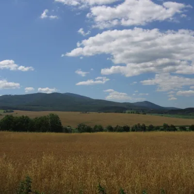 PeakInovecSelecaltitude 1 041 m18 km from the centreInovec (Polish Inowiec) is the highest summit of the Považský Inovec range in western Slovakia, at 1,041 m (more precisely 1,041.6 m).
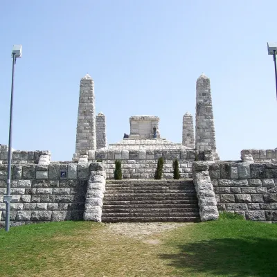 PeakBradloPriepasnéaltitude 543 m23 km from the centreBradlo (Hungarian Bradló) is a 543 m limestone summit, the highest point of the Myjava Hills (Myjavská pahorkatina) in western Slovakia.
What to visit
All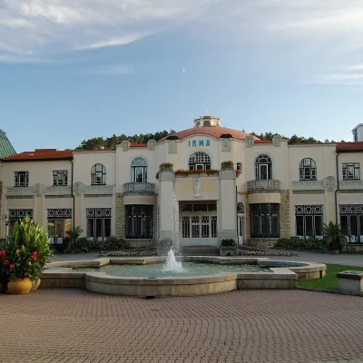 Water parks & thermal poolsPiešťany: the Spa Island, sulphur mud and thermal bathsPiešťany8.3 km from the centrePiešťany is Slovakia's best-known spa, spread out in the Váh valley between the Považský Inovec and the Little Carpathians.
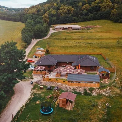 Cheese dairies & pasturesSalaš Beckov: 100% sheep’s cheese and bryndza dumplingsBeckov13 km from the centreA sheep salaš beside one of the Váh valley’s finest castles Beckov is a village in the Váh valley between Nové Mesto nad Váhom and Trenčín, overlooked by the ruins of...
Spas and thermal pools nearby
Huts, shelters and springs nearby
Getting there from Ukraine
Border crossings
- Uzhhorod – Vyšné Nemecké — road, 24/7
- Malyi Bereznyi – Ubľa — road, 24/7 For cars and buses; pedestrians not confirmed by the Ukrainian border service, lorries up to 3.5 t.
- Mali Selmentsi – Veľké Slemence (pedestrian) — pedestrian, 09:00–21:00 Kyiv time Pedestrians and cyclists only; inconvenient for the Tatras without onward transport.
- Chop – Čierna nad Tisou (rail) — rail, 24/7
By car
From Uzhhorod to Žilina ≈330 km, ≈4 h 20 min without queues: Uzhhorod – Vyšné Nemecké → I/19 to Košice → D1 via Prešov, Poprad, Liptovský Mikuláš and Ružomberok (≈17 km on I/18 between D1 sections) → Žilina. To Terchová ≈314 km, ≈4 h 15 min: from the D1 onto I/70 and II/583. From Lviv through Poland: M-10 → Krakovets – Korczowa → A4 to Kraków → S7/DK7 to Chyżne – Trstená → R3, I/59 to Dolný Kubín → II/583 via Terchová to Žilina: to Terchová ≈493 km (≈6 h 30 min), to Žilina ≈518 km (≈7 h). Via the tolled A4 Kraków – Katowice, S1 and D3: ≈533 km, ≈6 h 35 min. The D1 requires an e-vignette (eznamka.sk).
Checked 23.10.2026; border crossing hours and timetables change — check before you travel.
