Nitrianska Blatnica – Horáreň Modrová
Trail map
Route, springs and shelters: © OpenStreetMap contributors (ODbL) · elevation: Copernicus DEM © DLR e.V., © Airbus DS · Data & licences
About the trail
Route Nitrianska Blatnica – Horáreň Modrová. Has green marking (regional route №5131, KST). Waymarking data: OpenStreetMap (© OpenStreetMap contributors, ODbL).
Officially marked regional tourist route No. 5131. The marking is green, the sign is a horizontal stripe on a white background. Marked and maintained by: KST. Length of the route — 13.1 km. Location: mountain range — Strazovske Mountains, Slovakia.
At a glance
A one-day route of 13.1 km with 524 m of ascent from Nitrianska Blatnica to Horáreň Modrová. Estimated walking time: about 4 h, not counting stops. Difficulty: moderate. Waymarking: green.
Route stages
- 0–6 kmClimb of 320 m (up to 556 m)
- 6–8 kmDescent of 280 m (down to 274 m)
- 8–8 kmGentle ups and downs at 250–280 m
- 8–11 kmClimb of 180 m (up to 440 m)
- 11–12 kmDescent of 160 m (down to 275 m)
- 12–13 kmGentle ups and downs at 240–280 m
Steepest kilometre: km 6–7, a descent of 200 m (≈20%).
Water and overnight stays
Springs near the trail: at km 3, 7 and 12.
When to go
The route can be walked most of the year; it is most comfortable from April to October.
Getting there
Start: Nitrianska Blatnica. This is a one-way route: the finish is 10 km from the start in a straight line, so plan your way back in advance.
FAQ
- How long does the route take?
- Estimated walking time: about 4 h, not counting stops.
- Is there water on the route?
- Springs near the trail: at km 3, 7 and 12.
Water and shelter on the route
- Spring below Visiace skalykm 2.6 from the start · 60 m off the path · Not verified · 339 m
- Spring below Krahulčie vrchy (north slope), 293 mkm 7.2 from the start · 200 m off the path · Not verified · 293 m
- Spring below Grnicakm 11.9 from the start · Not verified · 283 m
Comments
Trails nearby
All trails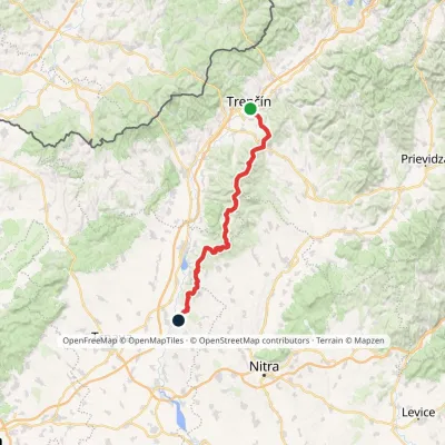 HardMulti-dayMarkedHlohovec Trenčín, Hotel ElizabethElevation profile145–1 041 m81.8 kmascent 2 463 m
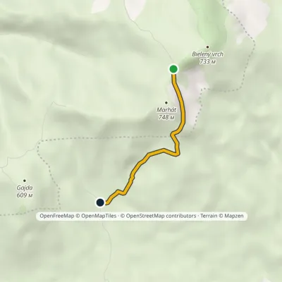 EasyOne-dayMarkedJurko, former forester's house Saddle MarhátElevation profile404–705 m2.5 kmascent 5 m≈ 45 min walking
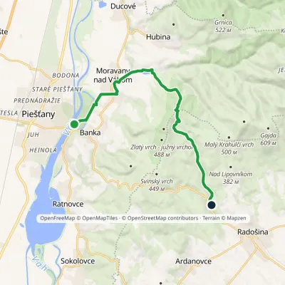 ModerateOne-dayMarkedPiešťany, colonnade bridge Čertova pec, motelElevation profile157–451 m12.1 kmascent 290 m≈ 3.5 h walking
Craft nearby
All craft places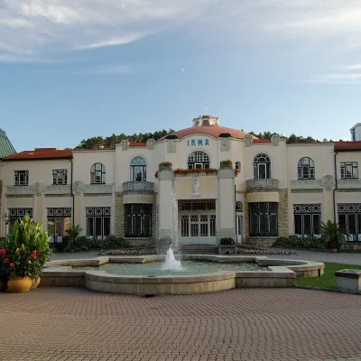 Water parks & thermal poolsPiešťany: the Spa Island, sulphur mud and thermal bathsPiešťany10 km from the trailPiešťany is Slovakia's best-known spa, spread out in the Váh valley between the Považský Inovec and the Little Carpathians.
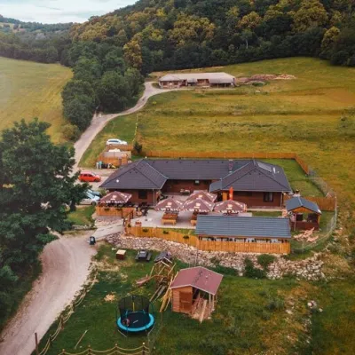 Cheese dairies & pasturesSalaš Beckov: 100% sheep’s cheese and bryndza dumplingsBeckov25 km from the trailA sheep salaš beside one of the Váh valley’s finest castles Beckov is a village in the Váh valley between Nové Mesto nad Váhom and Trenčín, overlooked by the ruins of...
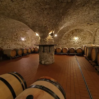 Wine & tastingsMagula Winery, Suchá nad Parnou: biodynamic wines and a farmSuchá nad Parnou37 km from the trailSuchá nad Parnou is a wine village on the south-eastern slopes of the Little Carpathians, near Trnava.
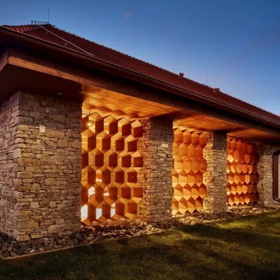 Honey & meaderiesVčelovina meadery, Smolenice: mead and honey beerSmolenice40 km from the trailThis is where the Včelovina meadery works — “a small production with a big heart”, as its founders put it.
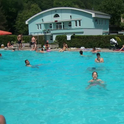 Water parks & thermal poolsChalmová Thermal Pool near PrievidzaBystričany41 km from the trailChalmová Thermal Pool (Termálne kúpalisko Chalmová) is a public pool complex in the village of Chalmová, part of the municipality of Bystričany, about 14 km south of...
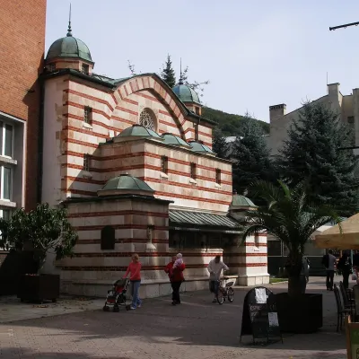 Water parks & thermal poolsTrenčianske Teplice: the Hammam and sulphur thermal bathsTrenčianske Teplice42 km from the trailTrenčianske Teplice is one of Slovakia's oldest spas, squeezed into a narrow wooded valley of the Strážov Mountains not far from Trenčín.
