Zobor
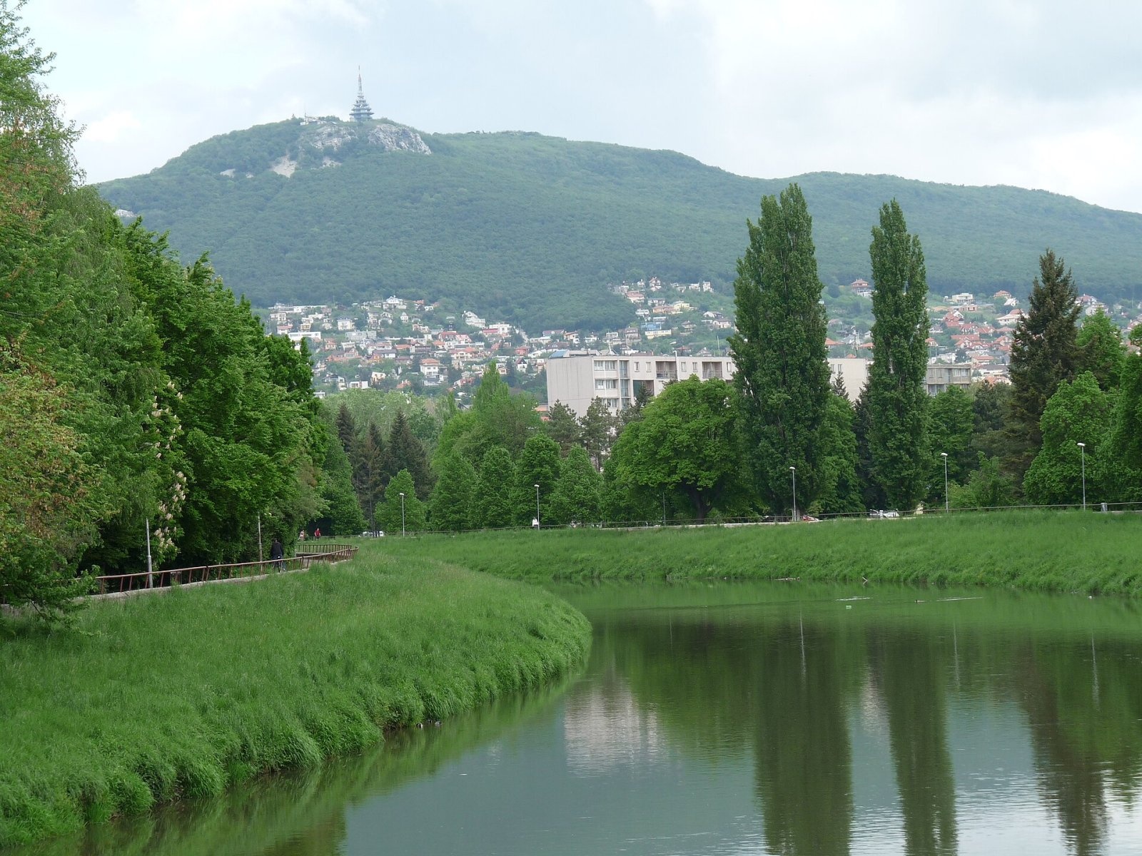
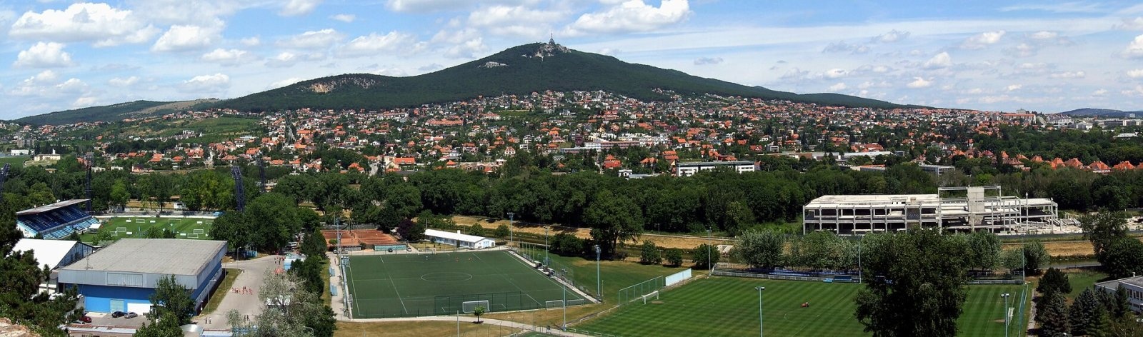
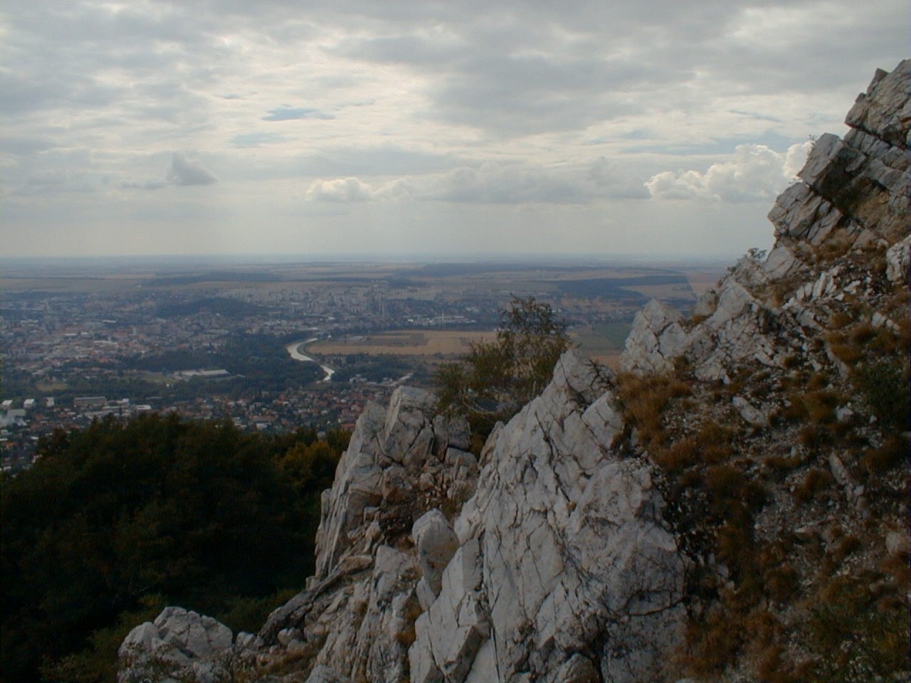
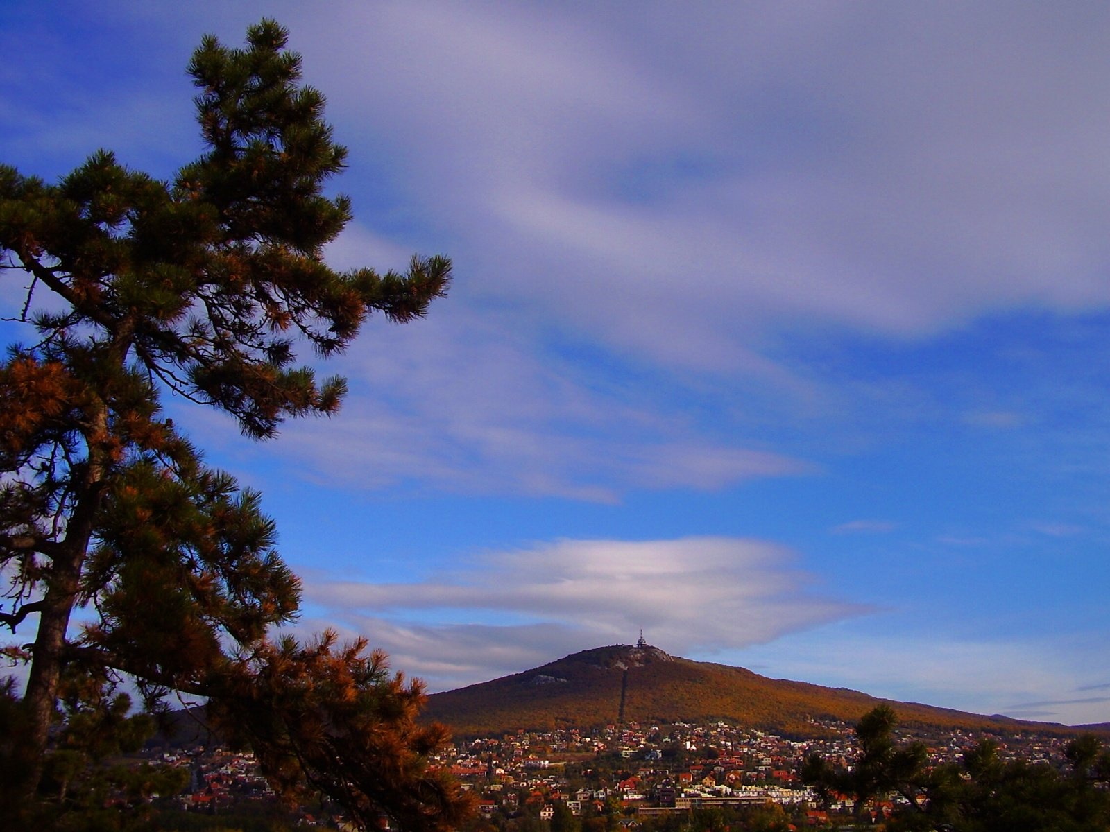
Zobor is a 587 m hill rising directly above the city of Nitra in western Slovakia. It is the summit of the southernmost part of the Tribeč Mountains — the Zobor group, which juts like a triangle into the Danubian Lowland. That is why Zobor, though low, is visible from afar, and its slopes offer a wide view over Nitra, the Nitra river valley and the Danubian Hills. The hill is already mentioned in the Zobor Charters of the early 12th century as «de Zuburiensis». Vineyards grow on its southern slopes, and on the fore-summit called Pyramída (556 m) stands a 64 m reinforced-concrete television tower completed in 1993.
Getting there / trails
- Marked trails lead to Zobor straight from Nitra (starting at 167 m above sea level, i.e. over 400 m of ascent), from the Nitra borough of Dražovce and from the village of Žirany.
- The red Ponitrianska magistrála crosses the hill, and a green educational trail «Zobor hillfort» circles the summit.
- The Slovak branch of the Way of St James (stage Jelenec – Nitra) also passes nearby.
A chairlift once ran up Zobor from Nitra, but it stopped in 1994, fell into disrepair and has largely been dismantled. So today people walk up — a popular outing for locals and visitors alike.
History
Zobor is one of the most important historical sites in Slovakia. On the summit lies a prehistoric hillfort, probably used by the Slavs as a refuge in the 9th century; its ramparts have a perimeter of almost 3 km. On the south-eastern spur another Slavic hillfort arose at the end of the 8th century — under the foundations of an 11th-century church the remains of an even older church were found. Together with other hillforts they formed the core of 9th-century Great Moravian Nitra.
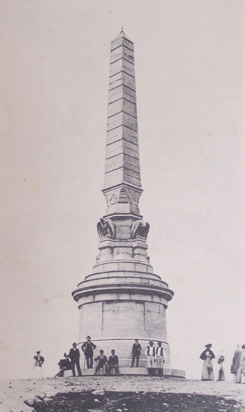
South-west of the summit a Benedictine monastery stood by the early 11th century, first mentioned in 1111 in the Zobor Charters; a school is mentioned there — the oldest documented school in Slovakia. The monastery may even have been founded in the 9th century. Later a Camaldolese monastery took its place. Saint Svorad is associated with the monastery, and the Svorad cave in Dražovce, now a natural monument, bears his name. Old photographs show the Millennium Monument that stood on the summit from 1896 to 1921.
Nature
The summit is occupied by the Zobor Forest-Steppe National Nature Reserve, declared as early as 1952 over 26 ha. It is a fine example of steppe-like grassland fringed by warmth-loving oak and oak-hornbeam woods; the landscape arose from ancient settlement and forest clearing for grazing. Rare thermophilous plants and animals survive here: dwarf iris, greater pasque flower, spring pheasant's eye and the Slovak pennycress, which occurs only in the Zobor hills, the Slovak Karst and adjacent parts of Hungary. The wider area belongs to the Ponitrie Protected Landscape Area and to Natura 2000.
Several springs rise on the slopes of Zobor: Svoradov prameň, Buganka, Šindolka and the springs on Martinská, Kláštorná and Pivonková streets.
Tips
Zobor is a low hill you can visit all year, but in summer the open steppe slopes get very hot: take water and a hat. In the reserve do not leave the paths or pick plants. In an emergency call 112.
Photos: Pistal, CC BY-SA 4.0; Pudelek (Marcin Szala), CC BY-SA 3.0; Geof, CC BY-SA 3.0; Igor Marhevský, Public domain; Divald K. Fia műintézet, CC BY-SA 2.5 — Wikimedia Commons.
Getting there from Ukraine
Border crossings
- Uzhhorod – Vyšné Nemecké — road, 24/7
- Malyi Bereznyi – Ubľa — road, 24/7 For cars and buses; pedestrians not confirmed by the Ukrainian border service, lorries up to 3.5 t.
- Mali Selmentsi – Veľké Slemence (pedestrian) — pedestrian, 09:00–21:00 Kyiv time Pedestrians and cyclists only; inconvenient for the Tatras without onward transport.
- Chop – Čierna nad Tisou (rail) — rail, 24/7
By car
From Uzhhorod to Žilina ≈330 km, ≈4 h 20 min without queues: Uzhhorod – Vyšné Nemecké → I/19 to Košice → D1 via Prešov, Poprad, Liptovský Mikuláš and Ružomberok (≈17 km on I/18 between D1 sections) → Žilina. To Terchová ≈314 km, ≈4 h 15 min: from the D1 onto I/70 and II/583. From Lviv through Poland: M-10 → Krakovets – Korczowa → A4 to Kraków → S7/DK7 to Chyżne – Trstená → R3, I/59 to Dolný Kubín → II/583 via Terchová to Žilina: to Terchová ≈493 km (≈6 h 30 min), to Žilina ≈518 km (≈7 h). Via the tolled A4 Kraków – Katowice, S1 and D3: ≈533 km, ≈6 h 35 min. The D1 requires an e-vignette (eznamka.sk).
Checked 23.10.2026; border crossing hours and timetables change — check before you travel.
Location on the map
Water and shelter nearby
- Hut below Zobor490 m · Not verified · 548 m
- Svoradov Spring1.2 km · Not verified · 318 m
- Zoborská Well1.6 km · Not verified · 256 m
- Spring on Pivonkovej1.7 km · Not verified · 261 m
- Spring on Kláštorská1.8 km · Not verified · 253 m
- Buganka Spring1.9 km · Not verified · 213 m
- Spring on Martinská2.2 km · Not verified · 188 m
- Šindolka Spring2.6 km · Not verified · 158 m
Comments
Trails nearby
All trails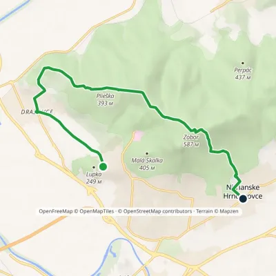 ModerateOne-dayMarkedLupka Nitrianske HrnčiarovceElevation profile146–587 m10.4 kmascent 445 m≈ 3.5 h walkingunder 1 km from Zobor
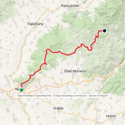 HardMulti-dayMarkedPonitrianska magistrála: Nitra Veľké PoleElevation profile143–843 m69.1 kmascent 2 361 munder 1 km from Zobor
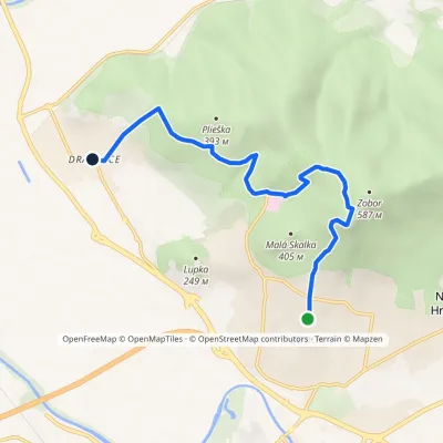 EasyOne-dayMarkedNitra, Artin DražovceElevation profile146–559 m7.5 kmascent 336 m≈ 2.5 h walkingunder 1 km from Zobor
Nearby attractions
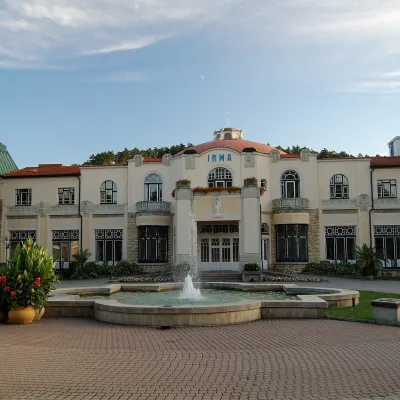 Water parks & thermal poolsPiešťany: the Spa Island, sulphur mud and thermal bathsPiešťany33 km from ZoborPiešťany is Slovakia's best-known spa, spread out in the Váh valley between the Považský Inovec and the Little Carpathians.
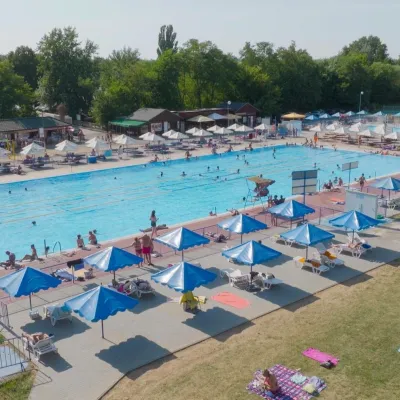 Water parks & thermal poolsMargita-Ilona thermal swimming area near LeviceLevice45 km from ZoborMargita-Ilona is a summer swimming area with thermal water 6 km from the town of Levice towards Šahy, in the Kalinčiakovo part of the town.
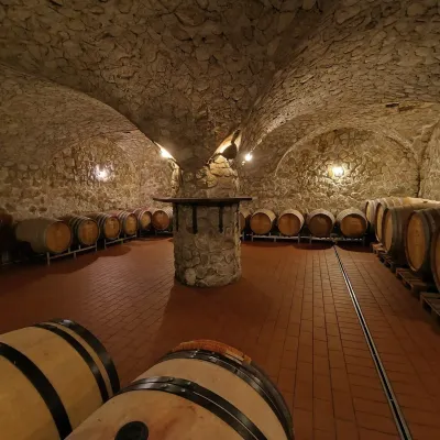 Wine & tastingsMagula Winery, Suchá nad Parnou: biodynamic wines and a farmSuchá nad Parnou45 km from ZoborSuchá nad Parnou is a wine village on the south-eastern slopes of the Little Carpathians, near Trnava.
Craft nearby
All craft places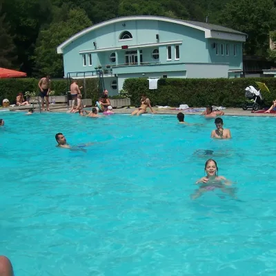 Water parks & thermal poolsChalmová Thermal Pool near PrievidzaBystričany46 km from ZoborChalmová Thermal Pool (Termálne kúpalisko Chalmová) is a public pool complex in the village of Chalmová, part of the municipality of Bystričany, about 14 km south of...
 Cheese dairies & pasturesSalaš Beckov: 100% sheep’s cheese and bryndza dumplingsBeckov50 km from ZoborA sheep salaš beside one of the Váh valley’s finest castles Beckov is a village in the Váh valley between Nové Mesto nad Váhom and Trenčín, overlooked by the ruins of...
