Kamzík, meadow – Lamač
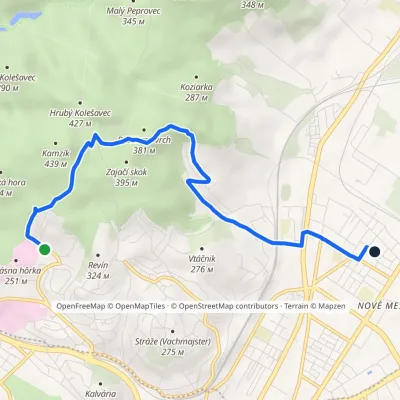
Trail map
Route, springs and shelters: © OpenStreetMap contributors (ODbL) · elevation: Copernicus DEM © DLR e.V., © Airbus DS · Data & licences
About the trail
Route Kamzík, meadow – Lamač. Has yellow marking (regional route №8101, KST). Waymarking data: OpenStreetMap (© OpenStreetMap contributors, ODbL).
Officially marked regional tourist route No. 8101. The marking is yellow, the sign is a horizontal stripe on a white background. Marked and maintained by: KST. Length of the route — 3.8 km. Location: mountain range — Little Carpathians, Slovakia.
At a glance
A short route of 3.8 km with 95 m of ascent and 251 m of descent from Kamzík, meadow to Lamač. Estimated walking time: about 1 h, not counting stops. Difficulty: easy. Waymarking: yellow.
How we estimate walking time
By Naismith's rule, used by mountain clubs and guidebooks: an average hiker walks 4 km an hour on the flat and needs one more hour for every 600 m of ascent. For this trail: 3.8 km ÷ 4 = 1 h + 95 m ÷ 600 = 0.2 h, about 1 h of walking in total.
- Breaks, snacks and photos: add 20–30 %.
- A heavy pack, children, snow, a wet path or windfall add more; a long steep descent also takes time, especially for the knees.
- The height of the Carpathians (up to 2,655 m) hardly changes the pace — on the ridges wind, fog and weather slow you down.
- Limits: up to 9 h is one day; 9–13 h is a very long day or two; over 13 h means several days with overnight stays.
Route stages
- 0–0.5 kmGentle ups and downs at 400–420 m, past Kamzík
- 0.5–2 kmDescent of 160 m (down to 237 m)
- 2–4 kmGentle ups and downs at 230–320 m
Steepest kilometre: km 0.5–1.5, a descent of 140 m (≈14%), near Kamzík.
Water and overnight stays
A spring near the trail: at km 0.
When to go
The route can be walked most of the year; it is most comfortable from April to October.
Getting there
Start: Kamzík, meadow. This is a one-way route: the finish is 3 km from the start in a straight line, so plan your way back in advance.
FAQ
- How long does the route take?
- Estimated walking time: about 1 h, not counting stops.
- Is there water on the route?
- A spring near the trail: at km 0.
Water and shelter on the route
- Kamzik Springkm 0 from the start · 290 m off the path · Not verified · 390 m
Comments and trail condition
Travellers’ experience: reports, tips, questions.
No one has reported on this trail yet. Been here lately? Tell others what it is like now.
Wildlife along the route
All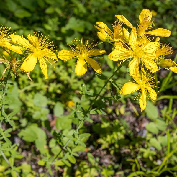
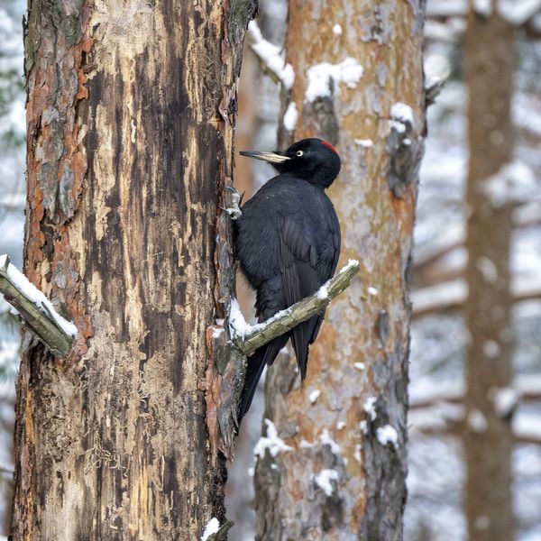
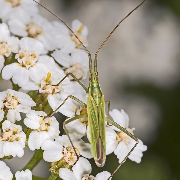
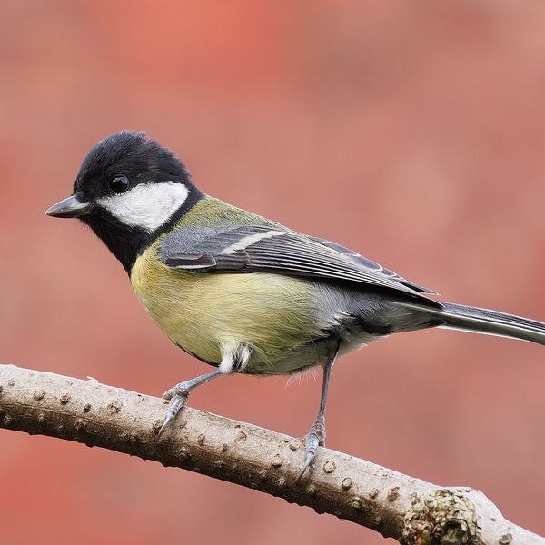
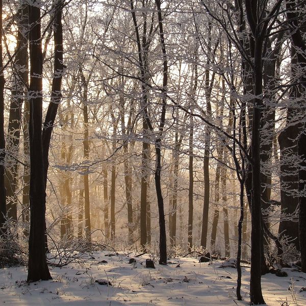
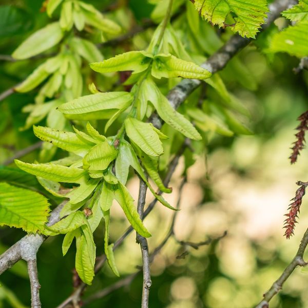
Based on naturalists’ records nearby (GBIF, iNaturalist), matched by altitude, habitat and season. Sightings are not guaranteed.
Trails nearby
All trails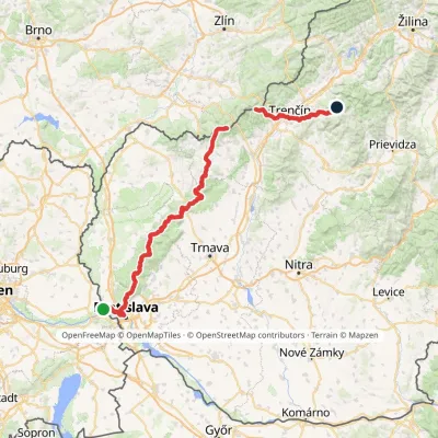 HardMulti-dayMarkedHrad Devín, parking Horná Poruba, U BrdárovElevation profile146–965 m190.1 kmascent 7 200 m
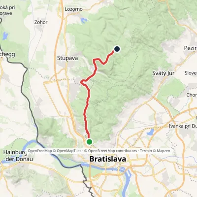 ModerateOne-dayMarkedChodník Jurka SzomolanyihoElevation profile184–545 m19.2 kmascent 752 m≈ 6 h walking
 EasyOne-dayMarkedKrásna Hôrka KST centreElevation profile137–417 m5.9 kmascent 143 m≈ 1.5 h walking
Craft nearby
All craft places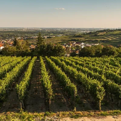 Wine & tastingsDubovský & Grančič Winery, Svätý Jur: tastings and sektSvätý Jur11 km from the trailFrom sixty ares to “Winemaker of the Year” Svätý Jur is an old wine town on the southern slopes of the Little Carpathians, just beyond the Bratislava city limits.
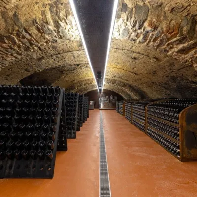 Wine & tastingsVIAJUR winery in Svätý Jur: tastings in the Pálffy cellarsSvätý Jur12 km from the trailWine in old cellars on the edge of Bratislava Svätý Jur is an old wine town at the very foot of the Little Carpathians, just beyond the Bratislava city limits.
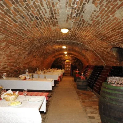 Wine & tastingsHACAJ winery in Pezinok: sparkling wine in a 300-year-old cellarPezinok17 km from the trailPezinok is the centre of the Little Carpathian Wine Route, a town where winegrowers’ houses with deep cellars line the old streets.
 Crafts & workshopsSlovak Folk Majolica in Modra: pottery tour and paintingModra23 km from the trailModra is a small wine town on the eastern slopes of the Little Carpathians, half an hour’s drive from Bratislava.
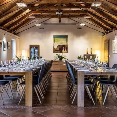 Wine & tastingsKarpatská Perla winery in Šenkvice: tastings and cellarŠenkvice23 km from the trailFrom a home cellar to Winery of the Year Šenkvice is a wine village on the plain below the eastern slopes of the Little Carpathians, between Pezinok and Modra.
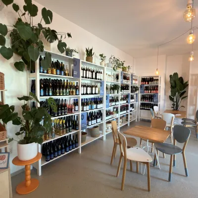 Wine & tastingsJuran z Modry winery: tastings in a Modra wine shopModra23 km from the trailModra is one of the main wine towns of the Little Carpathians: every other courtyard has its own cellar, and rows of vines climb the slopes above the town.
