Kamzík
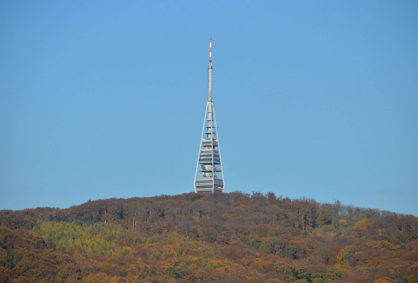
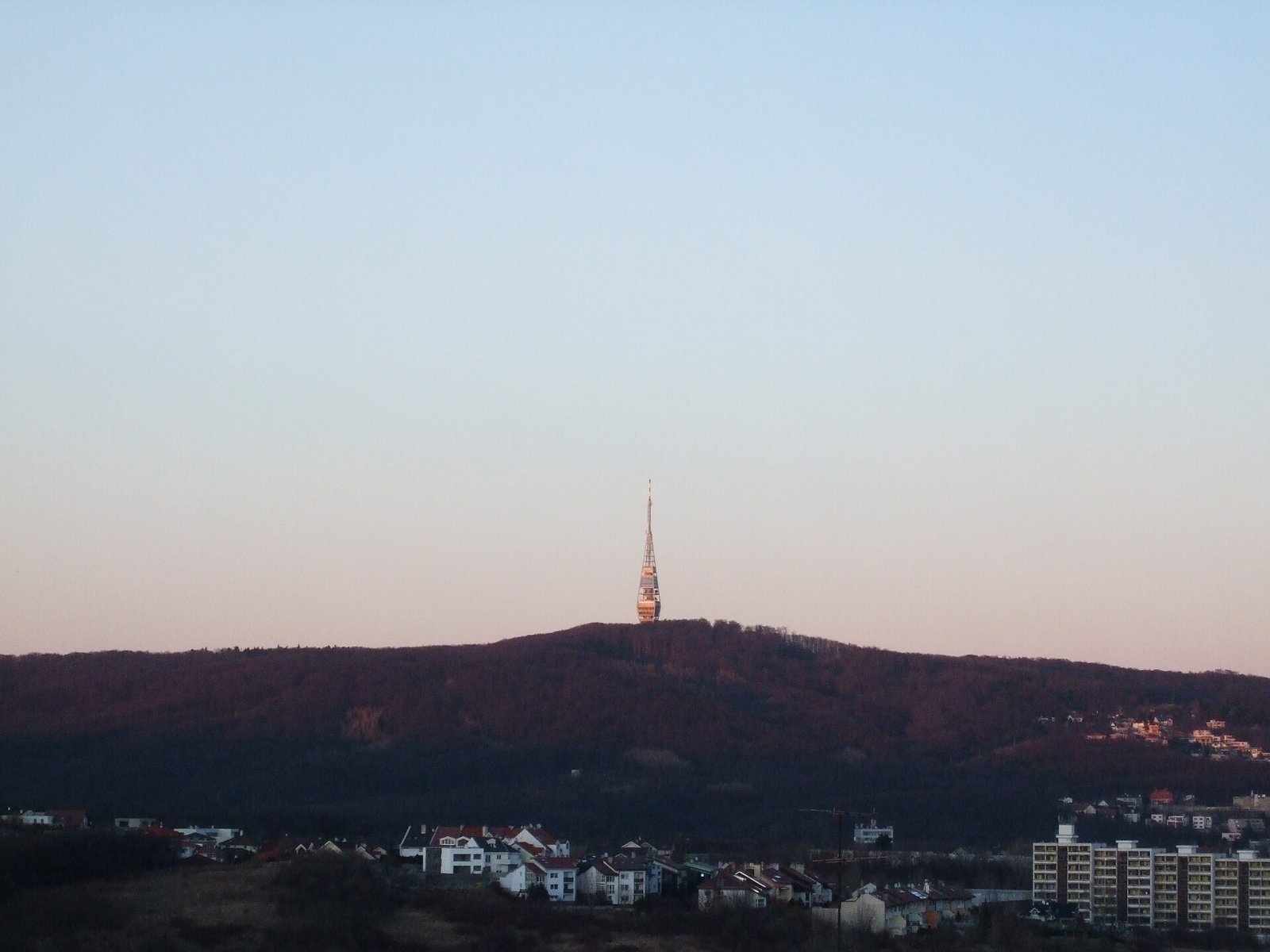
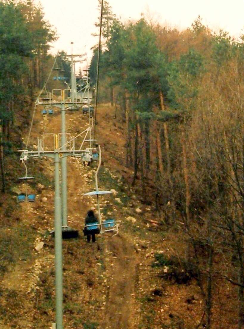
Kamzík (German Gemsenberg, Hungarian Zerge-hegy) is a 439 m summit of the Little Carpathians standing right above Bratislava, about 3 km north-west of the city centre. It is one of the most accessible mountains in the Carpathians: you can get there by city transport and then walk up or take a chairlift. The nearest part of the city is Koliba at its south-eastern foot; administratively the hill lies in the Bratislava Region, in Bratislava III District, within the Vinohrady cadastral area.
Kamzík lies on the south-eastern edge of the range, in the Pezinok Carpathians geomorphological subunit, in their section called Homoľské Karpaty, and belongs to the main crest of the Little Carpathians. To the west lie Devínska Kobyla (514 m) and Sitina (264 m), to the south the castle hill, to the north-east Chlmec (383 m) and to the north Hrubý Drieňovec (397 m). The northern and western slopes are drained by the Vydrica, which flows to the Danube, while smaller streams collect the water from the southern and eastern slopes. The summit is covered with beech forest; it is part of the Little Carpathians Protected Landscape Area and of the Bratislava Forest Park recreation zone.
How to get there / routes
A paved road accessible to cars leads to Kamzík via Koliba. By public transport you can take a trolleybus to the Koliba stop and continue on foot, or a bus to the Lanovka stop and ride the chairlift. The chairlift, about 1 km long, has operated since 1972 from the Železná studnička valley.
- Red trail – the Heroes of the SNP trail (also part of the European E8): from Devín via Devínska Kobyla and Slavín, or from the north via the Spariská and Pod Chlmcom junctions.
- Other marked trails: from the Lamač district, from the main railway station via Koliba, from Krásna hôrka on Koliba and from the Slovak Hiking Club (KST) headquarters on Záborského street via Briežky.
Sources give no official walking times. There are many shelters around the summit and several springs nearby.
What you can see from the summit
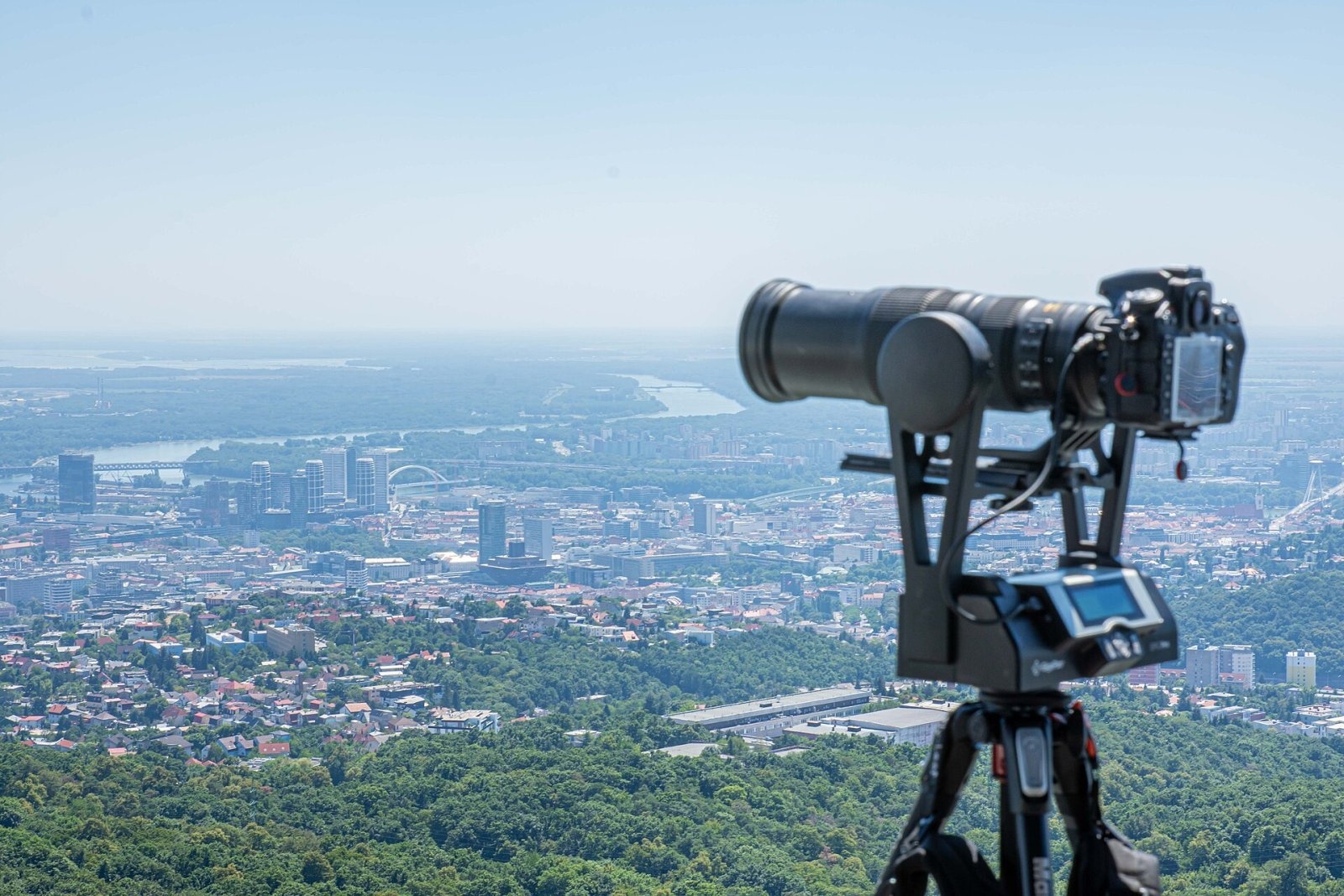
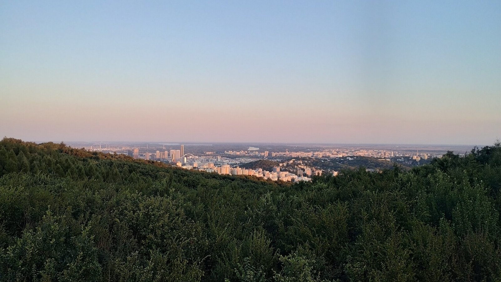
The forest on the summit blocks the view, which opens only from spots with lower vegetation. The TV tower with its rotating restaurant, however, offers a unique all-round view: many peaks of the Little Carpathians, the Borská and Danubian lowlands and, in good conditions, Považský Inovec, Tribeč, the Pavlov Hills in Moravia and, to the south-west, the foothills of the Alps. There is also a wooden lookout tower nearby with a view over Bratislava.
Nature and history
Kamzík's hallmark is the 194 m television tower. Its foundation stone was laid in 1967 and it was completed in 1975, replacing an older tower from 1956. It was designed by Stanislav Májek, Jakub Tomašák, D. Ferenčík and Juraj Kozák. The restaurant and viewing platform are 70 m above the ground, with the tables on a rotating platform. Hungarian Wikipedia calls the tower the tallest structure in Bratislava. Next to the tower there is a café and restaurant, and in the surroundings a hotel, the Koliba Expo exhibition centre, a bobsleigh track, a ski lift, several chalets and car parks.
Below the summit stands a memorial to the soldiers who fell in the Austro-Prussian War of 1866 – the last fighting of that war took place here. Another monument commemorates the victory over the Turks in 1683.
The name probably comes from the German Gemsenberg, "hill of the wild goats", after stray town goats that grazed on its slopes. An alternative explanation derives it from the German word gahns, a rubble heap, after the stones carried into piles from the newly founded vineyards.
Safety, season and rules
Kamzík is a city hill suitable for a walk in any season. A paved road reaches the summit, so expect cyclists on the paths and cars on the approach to the tower. In winter a ski lift operates here and the paths can be slippery. The hill lies in a Protected Landscape Area, so look after the forest and take your litter home. In the Slovak mountains help comes from the Mountain Rescue Service HZS: 18 300 (+421 18 300) or 112.
Interesting facts
- Kamzík is one of the best-known summits of the Little Carpathians precisely because of the TV tower, which can be seen from almost all of Bratislava.
- Platform C on the tower, once open to visitors, was closed in 1997 because of dangerously strong winds.
- In good weather even the Alps can be seen from the tower.
Photos: VargaA, CC BY-SA 4.0; Panfotosk, CC BY-SA 4.0; Pilifo, CC0; These images were created by Amonet. When reusing, please credit the author as: Amonet from Wikimedia Commons. If you use any of these works outside Wikimedia projects, a short notification message would be appreciated. Do not copy this image illegally by ignoring the terms of the license below, as it is not in the public domain. More of my work can be found in my personal gallery., CC BY-SA 3.0; Doko Jozef Kotulič, CC BY 4.0 — Wikimedia Commons.
Getting there from Ukraine
Border crossings
- Uzhhorod – Vyšné Nemecké — road, 24/7
- Malyi Bereznyi – Ubľa — road, 24/7 For cars and buses; pedestrians not confirmed by the Ukrainian border service, lorries up to 3.5 t.
- Mali Selmentsi – Veľké Slemence (pedestrian) — pedestrian, 09:00–21:00 Kyiv time Pedestrians and cyclists only; inconvenient for the Tatras without onward transport.
- Chop – Čierna nad Tisou (rail) — rail, 24/7
By car
Uzhhorod – Poprad ≈195 km, ≈2 h 55 min without queues: Uzhhorod – Vyšné Nemecké checkpoint → I/19 via Sobrance and Michalovce → Košice → D1 motorway via Prešov → Poprad (Liptovský Mikuláš is ≈56 km further on the D1, total ≈249 km). Košice – Poprad ≈112 km. The D1 requires an e-vignette (eznamka.sk). Note: from Lviv the fastest way to Poprad is through Poland — Krakovets – A4 – Kraków – Zakopane – Łysa Polana ≈468 km (≈5 h 50 min); via Uzhok and Malyi Bereznyi ≈419 km but slower (≈6 h 40 min). Zakopane – Poprad ≈69 km, Zakopane – Liptovský Mikuláš ≈80 km.
Checked 23.10.2026; border crossing hours and timetables change — check before you travel.
Location on the map
Water and shelter nearby
- Oškerda Spring450 m · Not verified · 363 m
- Kamzik Spring660 m · Not verified · 390 m
- Spring under the Meadow710 m · Not verified · 366 m
- Drieňovka750 m · Not verified · 362 m
- Koziarka Spring790 m · Not verified · 365 m
- Drinking water below Červený Most1.5 km · Not verified · 187 m
- Jánov prameň Spring, 326 m1.6 km · Not verified · 326 m
- Martinov Spring1.6 km · Not verified · 194 m
- Spring below Červený Most1.6 km · Not verified · 195 m
- Peprovská studnička Spring1.8 km · Not verified · 323 m
- Bučo Spring2.1 km · Not verified · 310 m
- Jasienky Spring2.9 km · Not verified · 343 m
Comments
Trails nearby
All trails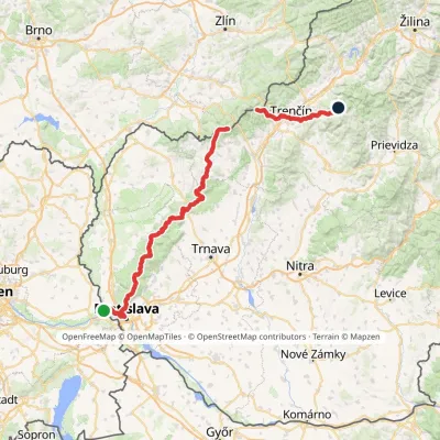 HardMulti-dayMarkedHrad Devín, parking Horná Poruba, U BrdárovElevation profile146–965 m190.1 kmascent 7 200 munder 1 km from Kamzík
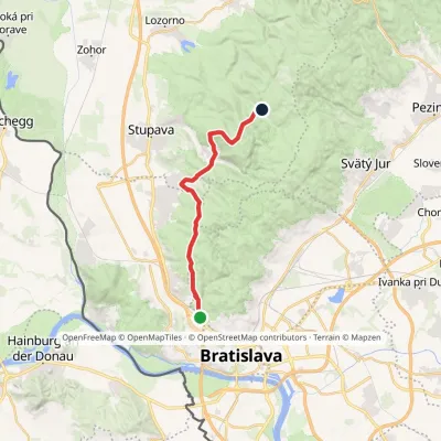 ModerateTwo-dayMarkedChodník Jurka SzomolanyihoElevation profile184–545 m19.2 kmascent 752 m≈ 6.5 h walking1.5 km from Kamzík
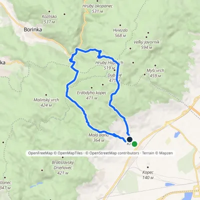 ModerateOne-dayMarkedRača Rača, loopElevation profile153–525 m16.3 kmascent 573 m≈ 5 h walking4.8 km from Kamzík
Nearby attractions
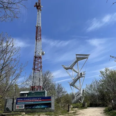 PeakDevínska KobylaMariankaaltitude 514 m7.3 km from KamzíkDevínska Kobyla (German Thebener Kogel, Hungarian Dévényi-tető) is a 514 m summit at the very south-western tip of the Little Carpathians, the highest peak of the...
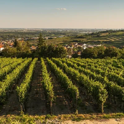 Wine & tastingsDubovský & Grančič Winery, Svätý Jur: tastings and sektSvätý Jur11 km from KamzíkFrom sixty ares to “Winemaker of the Year” Svätý Jur is an old wine town on the southern slopes of the Little Carpathians, just beyond the Bratislava city limits.
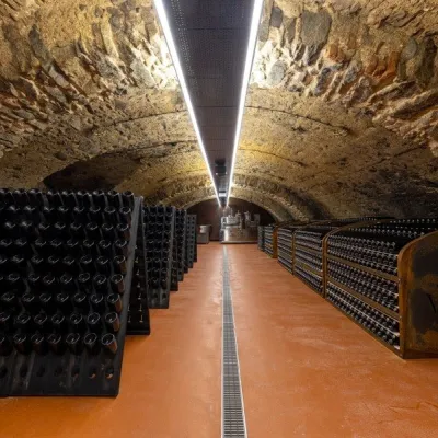 Wine & tastingsVIAJUR winery in Svätý Jur: tastings in the Pálffy cellarsSvätý Jur12 km from KamzíkWine in old cellars on the edge of Bratislava Svätý Jur is an old wine town at the very foot of the Little Carpathians, just beyond the Bratislava city limits.
Craft nearby
All craft places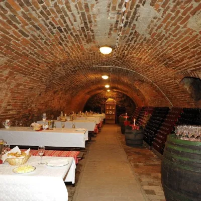 Wine & tastingsHACAJ winery in Pezinok: sparkling wine in a 300-year-old cellarPezinok18 km from KamzíkPezinok is the centre of the Little Carpathian Wine Route, a town where winegrowers’ houses with deep cellars line the old streets.
 Crafts & workshopsSlovak Folk Majolica in Modra: pottery tour and paintingModra23 km from KamzíkModra is a small wine town on the eastern slopes of the Little Carpathians, half an hour’s drive from Bratislava.
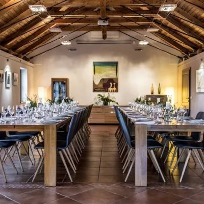 Wine & tastingsKarpatská Perla winery in Šenkvice: tastings and cellarŠenkvice24 km from KamzíkFrom a home cellar to Winery of the Year Šenkvice is a wine village on the plain below the eastern slopes of the Little Carpathians, between Pezinok and Modra.
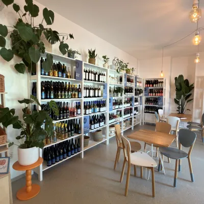 Wine & tastingsJuran z Modry winery: tastings in a Modra wine shopModra24 km from KamzíkModra is one of the main wine towns of the Little Carpathians: every other courtyard has its own cellar, and rows of vines climb the slopes above the town.
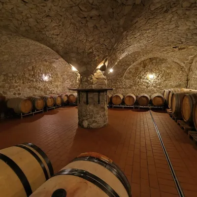 Wine & tastingsMagula Winery, Suchá nad Parnou: biodynamic wines and a farmSuchá nad Parnou40 km from KamzíkSuchá nad Parnou is a wine village on the south-eastern slopes of the Little Carpathians, near Trnava.
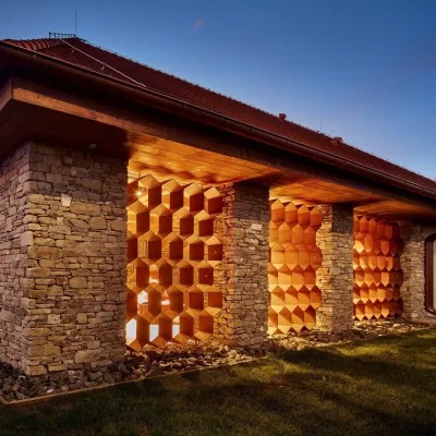 Honey & meaderiesVčelovina meadery, Smolenice: mead and honey beerSmolenice44 km from KamzíkThis is where the Včelovina meadery works — “a small production with a big heart”, as its founders put it.
