Bratislava Region
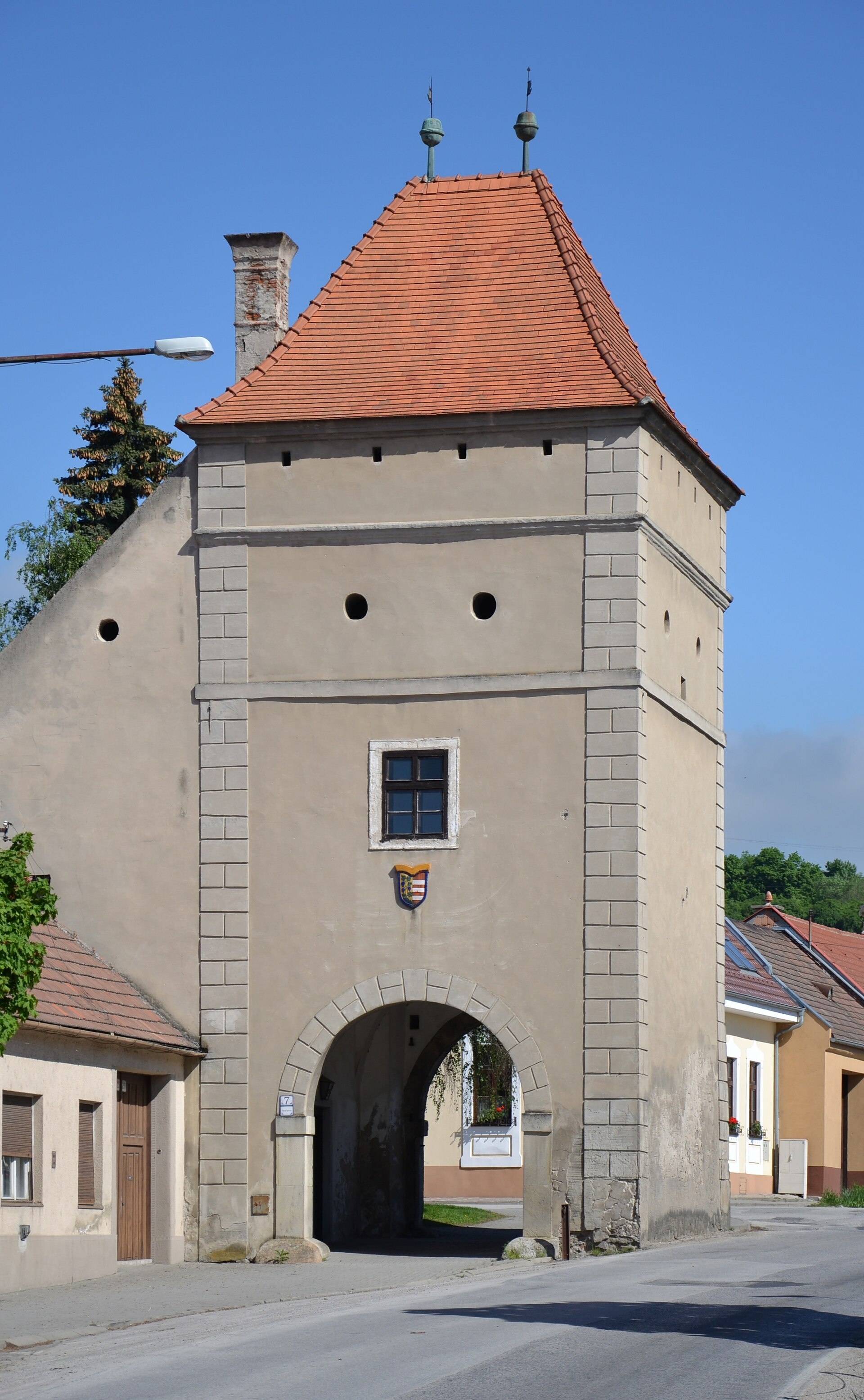
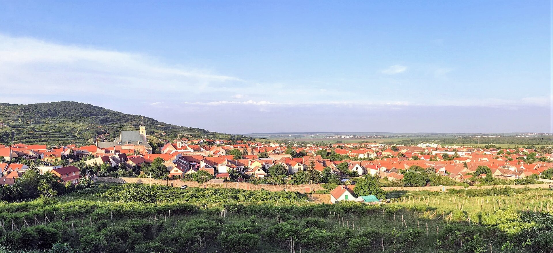
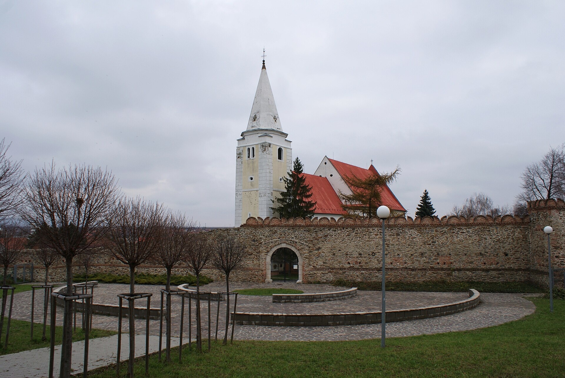
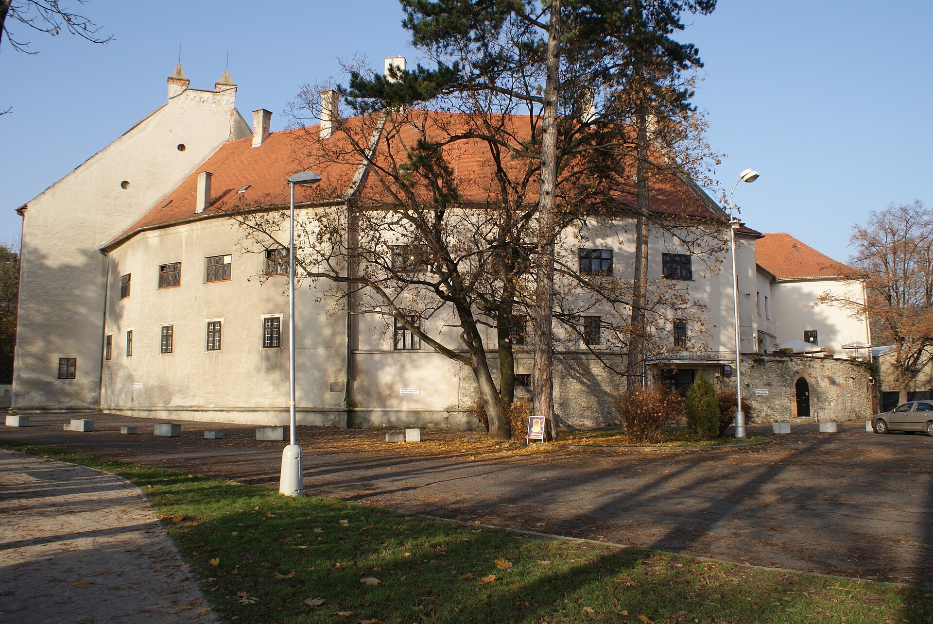
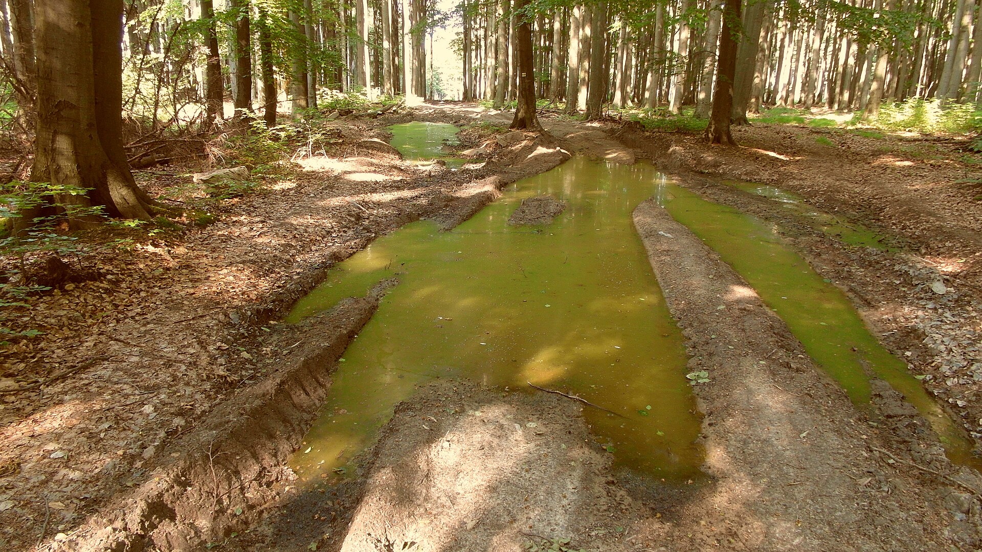
Photos: Modra (Pudelek (Marcin Szala), CC BY-SA 3.0); Svätý Jur (Tomáš Bartovič, CC BY 4.0); Šenkvice (feťour, Public domain); Pezinok (feťour, CC BY 3.0); Kuchyňa (ANDREJ NEUHERZ, CC BY-SA 3.0)
Bratislava Region is an administrative region of Slovakia, with its capital in Bratislava, located in the south-west of the country. It borders Trnava Region to the north and east, Hungary to the south, and Austria to the west. The region includes 73 settlements, among them Bratislava, Malacky, Stupava, Svätý Jur, Pezinok, Modra, and Senec. Its current borders date from 1996, though the administrative tradition goes back to 1923.
The region is traversed by the Little Carpathians, which separate the Záhorie lowland in the west from the fertile Danubian Lowland in the east. Major rivers are the Danube, Morava, and Little Danube. There are three protected landscape areas: Little Carpathians, Záhorie, and Dunajské luhy. The area is known for wine production, scenic hills, and nature trails.
On karpaty.rocks, the Bratislava Region features numerous hiking trails, such as the Jurko Somolanyi Trail, Pezinok – Modra, Svätý Jur – Stupava, and peaks like Kamzík, Devínska Kobyla, Vysoká, and Vápenná. Local crafts include wine tastings in Modra, Svätý Jur, and Pezinok, and majolica painting. Most objects are found in Pezinok and Malacky districts.
Getting there from Ukraine
Uzhhorod – Poprad ≈195 km, ≈2 h 55 min without queues: Uzhhorod – Vyšné Nemecké checkpoint → I/19 via Sobrance and Michalovce → Košice → D1 motorway via Prešov → Poprad. The D1 requires an e-vignette (eznamka.sk). From Lviv, the fastest route to Poprad is via Poland — Krakovets – A4 – Kraków – Zakopane – Łysa Polana.
Sources: Wikipedia, Wikidata, OpenStreetMap, Karpaty.rocks data.
Towns, villages and districts
Getting there from Ukraine
Border crossings
- Uzhhorod – Vyšné Nemecké — road, 24/7
- Malyi Bereznyi – Ubľa — road, 24/7 For cars and buses; pedestrians not confirmed by the Ukrainian border service, lorries up to 3.5 t.
- Mali Selmentsi – Veľké Slemence (pedestrian) — pedestrian, 09:00–21:00 Kyiv time Pedestrians and cyclists only; inconvenient for the Tatras without onward transport.
- Chop – Čierna nad Tisou (rail) — rail, 24/7
By car
Uzhhorod – Poprad ≈195 km, ≈2 h 55 min without queues: Uzhhorod – Vyšné Nemecké checkpoint → I/19 via Sobrance and Michalovce → Košice → D1 motorway via Prešov → Poprad (Liptovský Mikuláš is ≈56 km further on the D1, total ≈249 km). Košice – Poprad ≈112 km. The D1 requires an e-vignette (eznamka.sk). Note: from Lviv the fastest way to Poprad is through Poland — Krakovets – A4 – Kraków – Zakopane – Łysa Polana ≈468 km (≈5 h 50 min); via Uzhok and Malyi Bereznyi ≈419 km but slower (≈6 h 40 min). Zakopane – Poprad ≈69 km, Zakopane – Liptovský Mikuláš ≈80 km.
Checked 23.10.2026; border crossing hours and timetables change — check before you travel.
