Malacky District
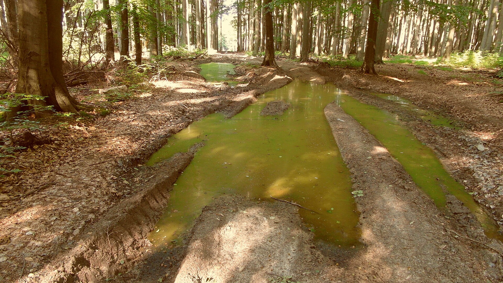
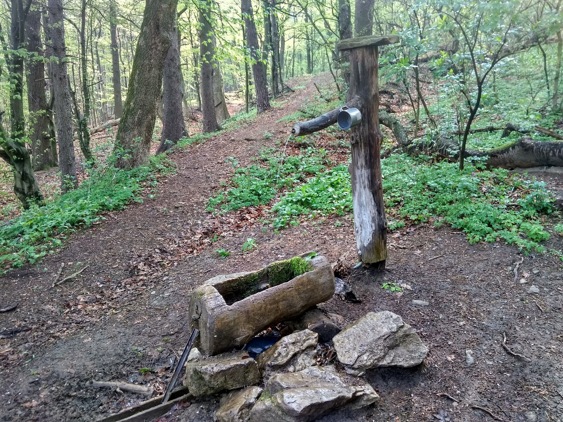
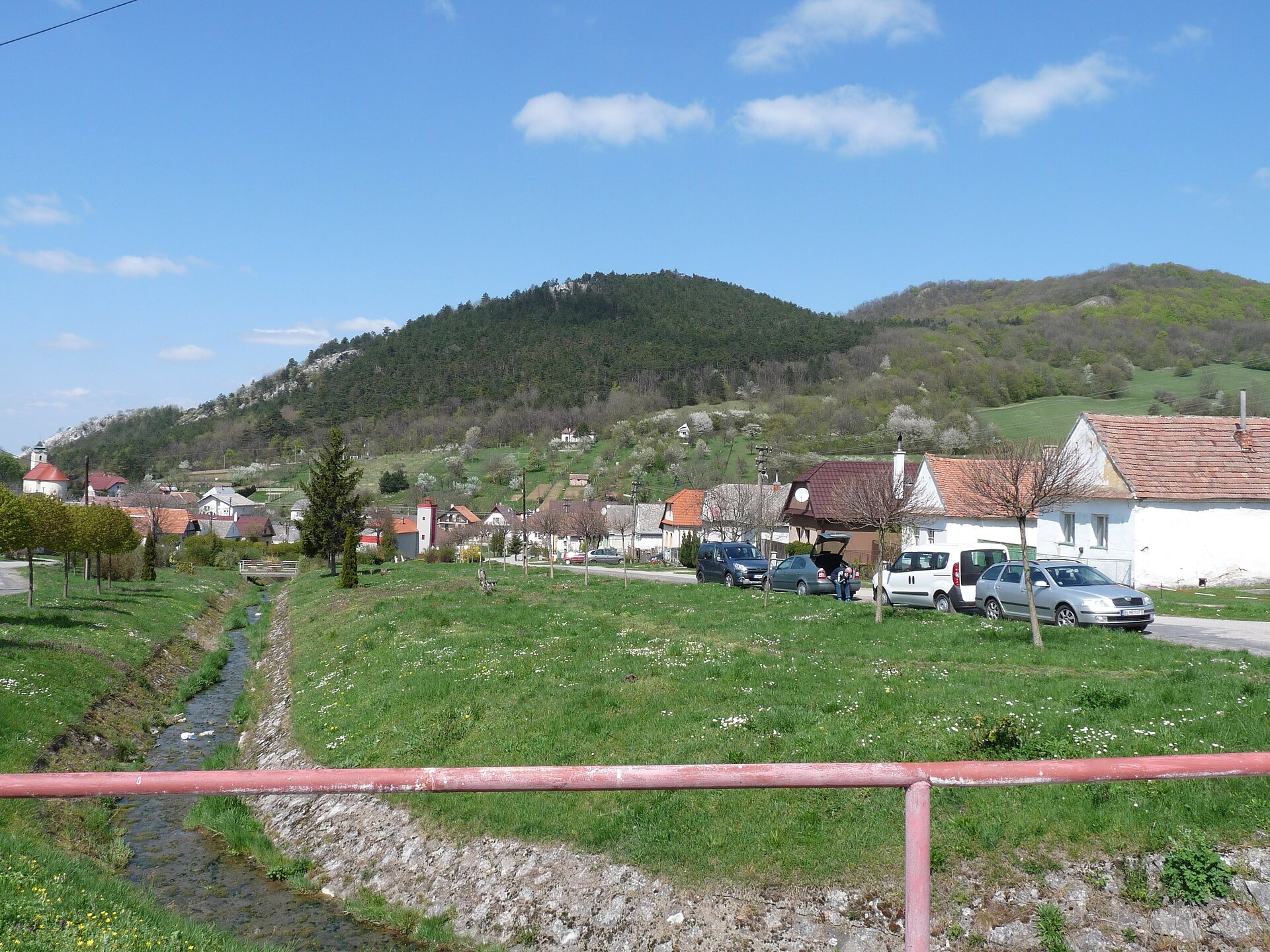
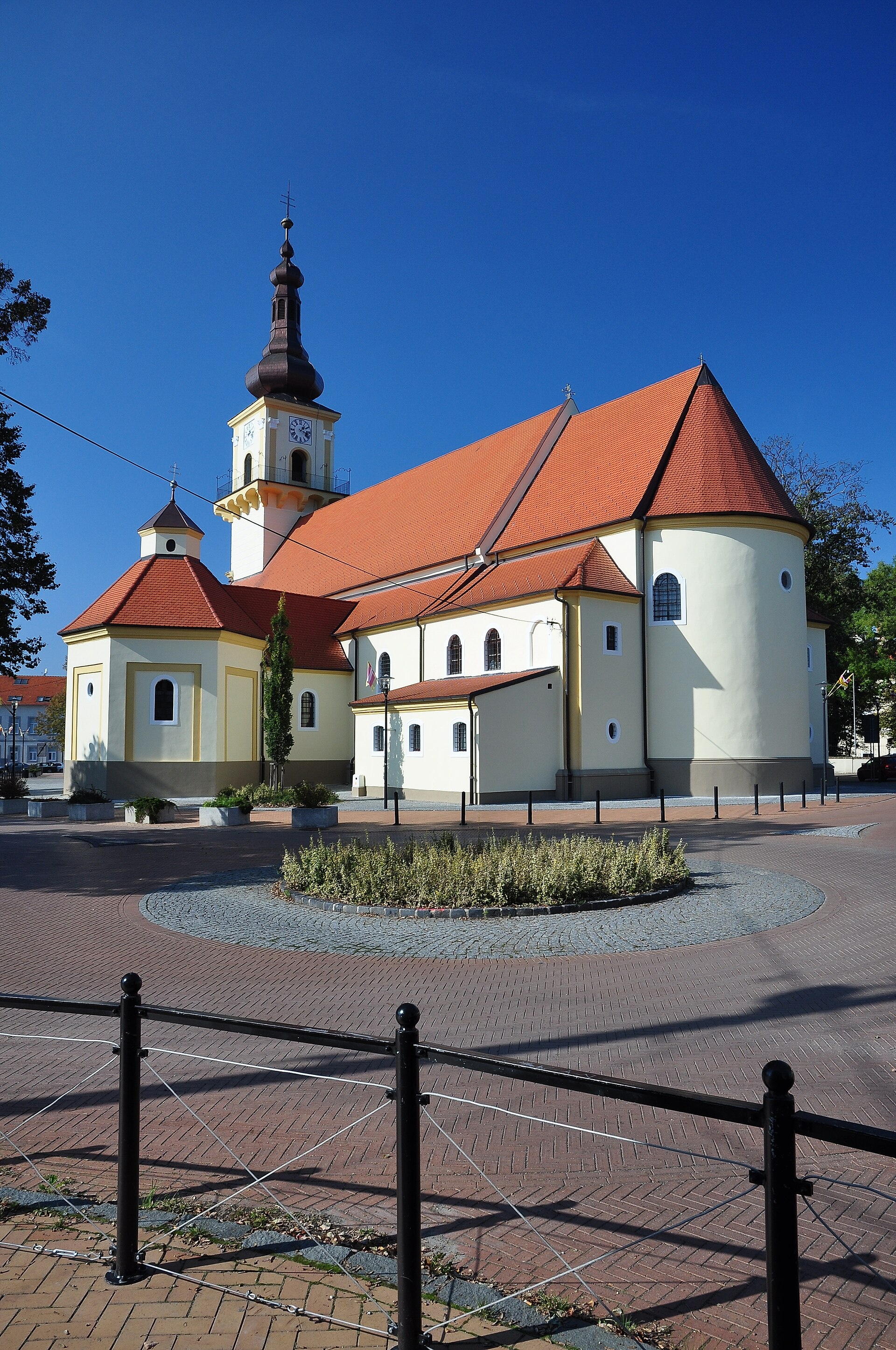
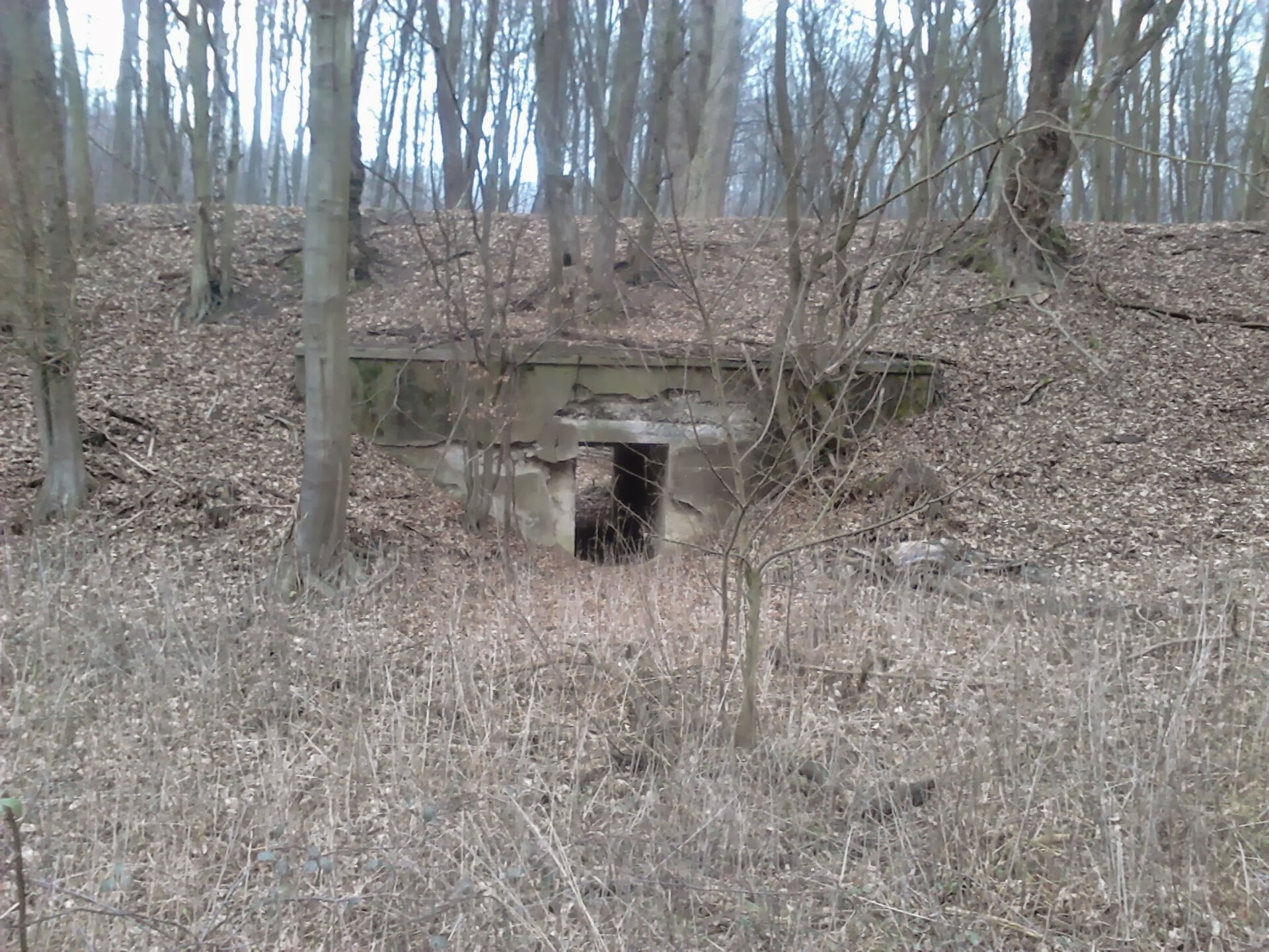
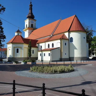
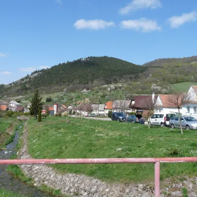
Photos: Kuchyňa (ANDREJ NEUHERZ, CC BY-SA 3.0); Sološnica (Lubosb, CC BY-SA 4.0); Plavecké Podhradie (Pistal, CC BY-SA 4.0); Stupava (LMih, CC BY-SA 3.0); Lozorno (bartos.marian, CC BY-SA 3.0)
Malacky District is an administrative district in the Bratislava Region of western Slovakia. Its administrative seat and largest town is Malacky, while the second largest is Stupava, located near Bratislava. The district's current borders were established in 1996. The Eurovalley industrial park is situated here. The population is mainly Slovak, with Czechs, Roma, Hungarians, Ukrainians, and other minorities also present.
The district covers part of the Záhorská lowland and the Kuchyňa hills. Several streams flow through the area, including Balazsov potok, Pernecký potok, Suchý potok, and Cabadov jarok, and there is the Kuchyňa reservoir. Malacky District is known for its natural landscapes and diverse ethnic and religious composition.
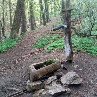
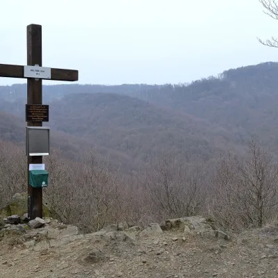
On karpaty.rocks, you will find many featured locations in the district, especially in Sološnica, Lozorno, Plavecké Podhradie, Stupava, Kuchyňa, Pernek, Borinka, Plavecký Mikuláš, Rohožník, and Marianka. There are over 27 trails, such as the Jurko Somolanyi Trail and routes from Stupava, Lozorno, and Plavecké Podhradie, as well as four peaks: Kamzík, Devínska Kobyla, Vysoká (Malé Karpaty), and Vápenná.
Getting there from Ukraine
From Uzhhorod to Žilina ≈330 km, ≈4 h 20 min without queues: Uzhhorod – Vyšné Nemecké → I/19 to Košice → D1 via Prešov, Poprad, Liptovský Mikuláš and Ružomberok (≈17 km on I/18 between D1 sections) → Žilina. To Terchová ≈314 km, ≈4 h 15 min: from the D1 onto I/70 and II/583. From Lviv through Poland: M-10 → Krakovets – Korczowa → A4 to Kraków → S7/DK7 to Chyżne – Trstená → R3, I/59 to Dolný Kubín → II/583 via Terchová to Žilina: to Terchová ≈493 km (≈6 h 30 min), to Žilina ≈518 km (≈7 h). Via the tolled A4 Kraków – Katowice, S1 and D3: ≈533 km, ≈6 h 35 min. The D1 requires an e-vignette (eznamka.sk).
Sources: Wikipedia, Wikidata, OpenStreetMap, Karpaty.rocks data.
Towns and villages
Getting there from Ukraine
Border crossings
- Uzhhorod – Vyšné Nemecké — road, 24/7
- Malyi Bereznyi – Ubľa — road, 24/7 For cars and buses; pedestrians not confirmed by the Ukrainian border service, lorries up to 3.5 t.
- Mali Selmentsi – Veľké Slemence (pedestrian) — pedestrian, 09:00–21:00 Kyiv time Pedestrians and cyclists only; inconvenient for the Tatras without onward transport.
- Chop – Čierna nad Tisou (rail) — rail, 24/7
By car
Uzhhorod – Poprad ≈195 km, ≈2 h 55 min without queues: Uzhhorod – Vyšné Nemecké checkpoint → I/19 via Sobrance and Michalovce → Košice → D1 motorway via Prešov → Poprad (Liptovský Mikuláš is ≈56 km further on the D1, total ≈249 km). Košice – Poprad ≈112 km. The D1 requires an e-vignette (eznamka.sk). Note: from Lviv the fastest way to Poprad is through Poland — Krakovets – A4 – Kraków – Zakopane – Łysa Polana ≈468 km (≈5 h 50 min); via Uzhok and Malyi Bereznyi ≈419 km but slower (≈6 h 40 min). Zakopane – Poprad ≈69 km, Zakopane – Liptovský Mikuláš ≈80 km.
Checked 23.10.2026; border crossing hours and timetables change — check before you travel.
