Sološnica
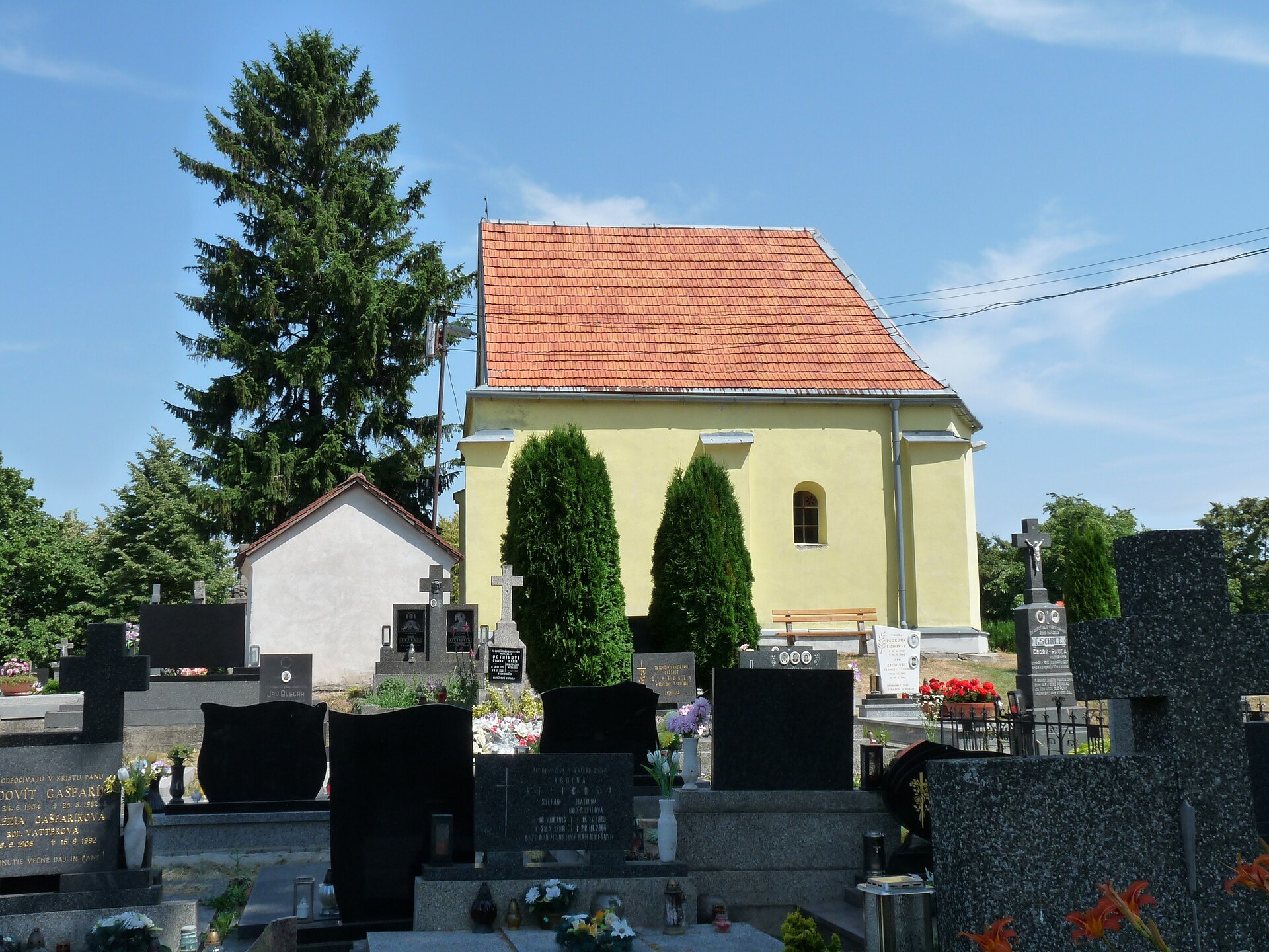
Photos: Lubosb, CC BY-SA 4.0 (Wikimedia Commons); Akul59, CC BY-SA 4.0 (Wikimedia Commons); Akul59, CC BY 4.0 (Wikimedia Commons); Lure, CC BY-SA 3.0 (Wikimedia Commons); Pistal, CC BY-SA 4.0 (Wikimedia Commons); Pistal, CC BY-SA 4.0 (Wikimedia Commons)
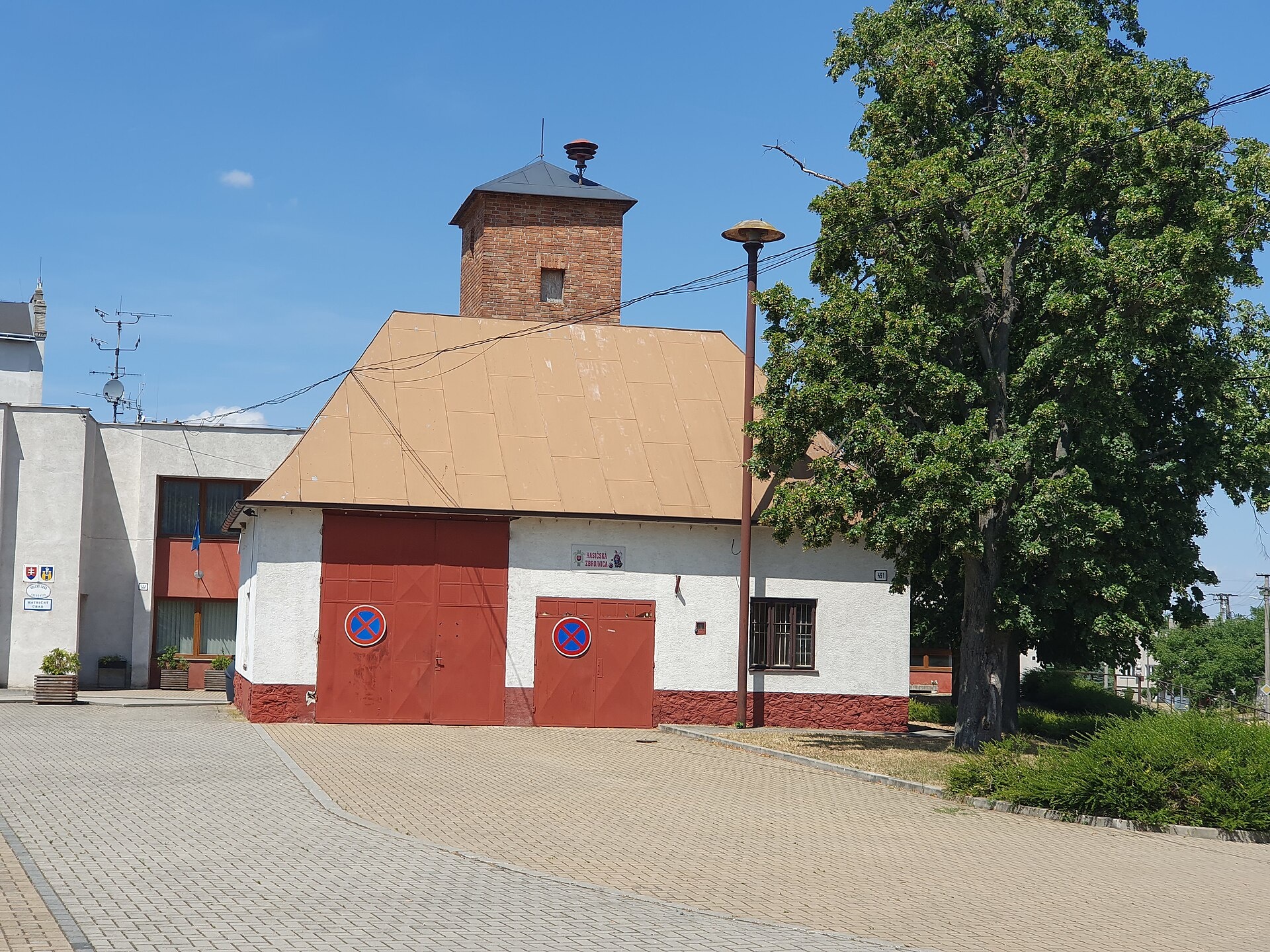
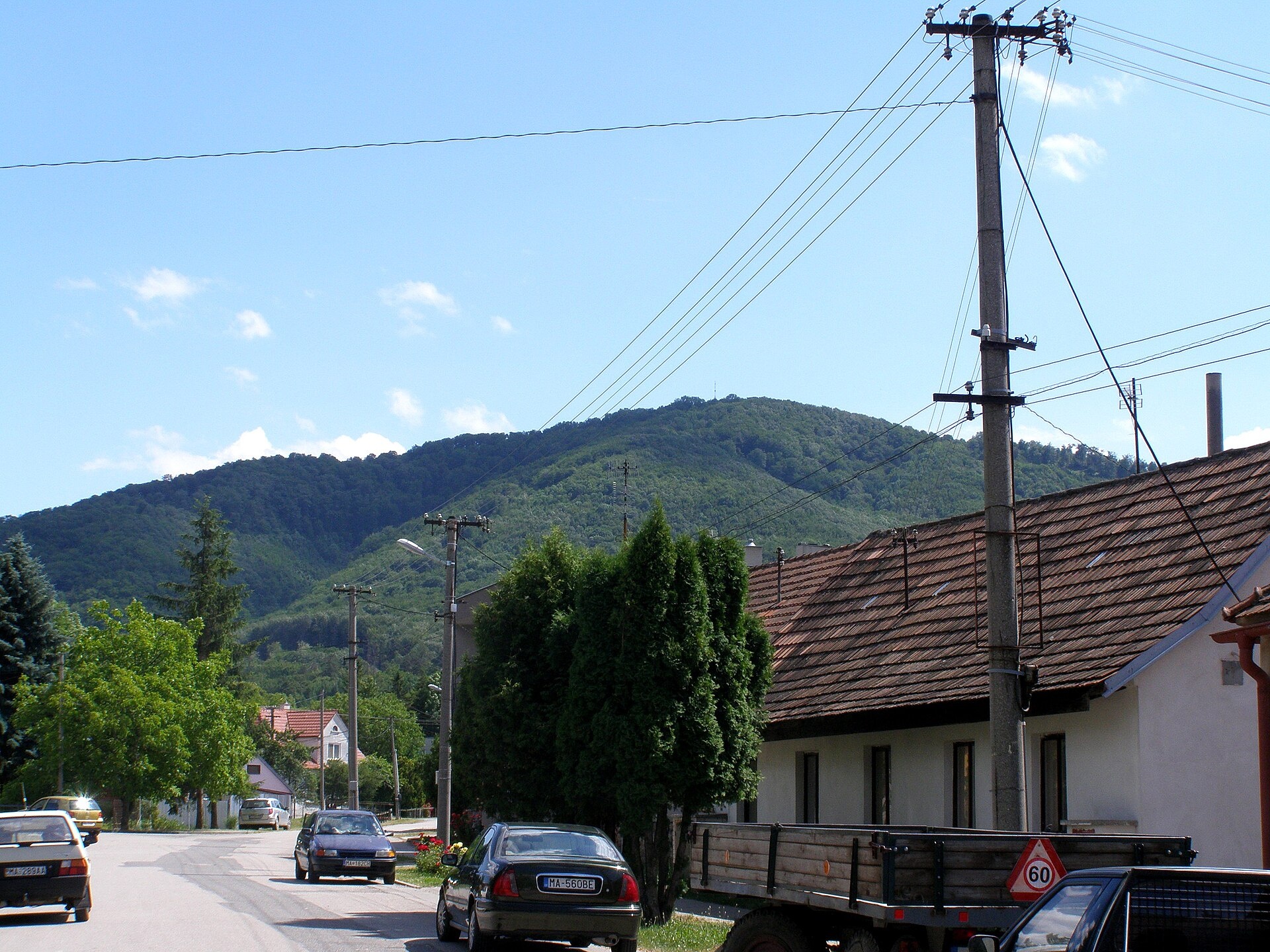
Sološnica is a village and municipality in the Malacky District, Bratislava Region, in western Slovakia. It is situated at an elevation of about 219 metres above sea level, at the foot of the northwestern side of the Little Carpathians. The Sološnica Stream flows through the village, and the surrounding landscape is shaped by picturesque mountains and forests.
The first written mention of Sološnica dates back to 1376. The village emerged as a result of internal colonization in the early 14th century. Over the centuries, Sološnica belonged to various noble families, including the earls of Svätý Jur, Pezinok, Serédy, Balass, and later the Pálfys. In 1828, there were 205 houses and 1,484 inhabitants, primarily engaged in agriculture, weaving, wooden tool production, and lime burning.
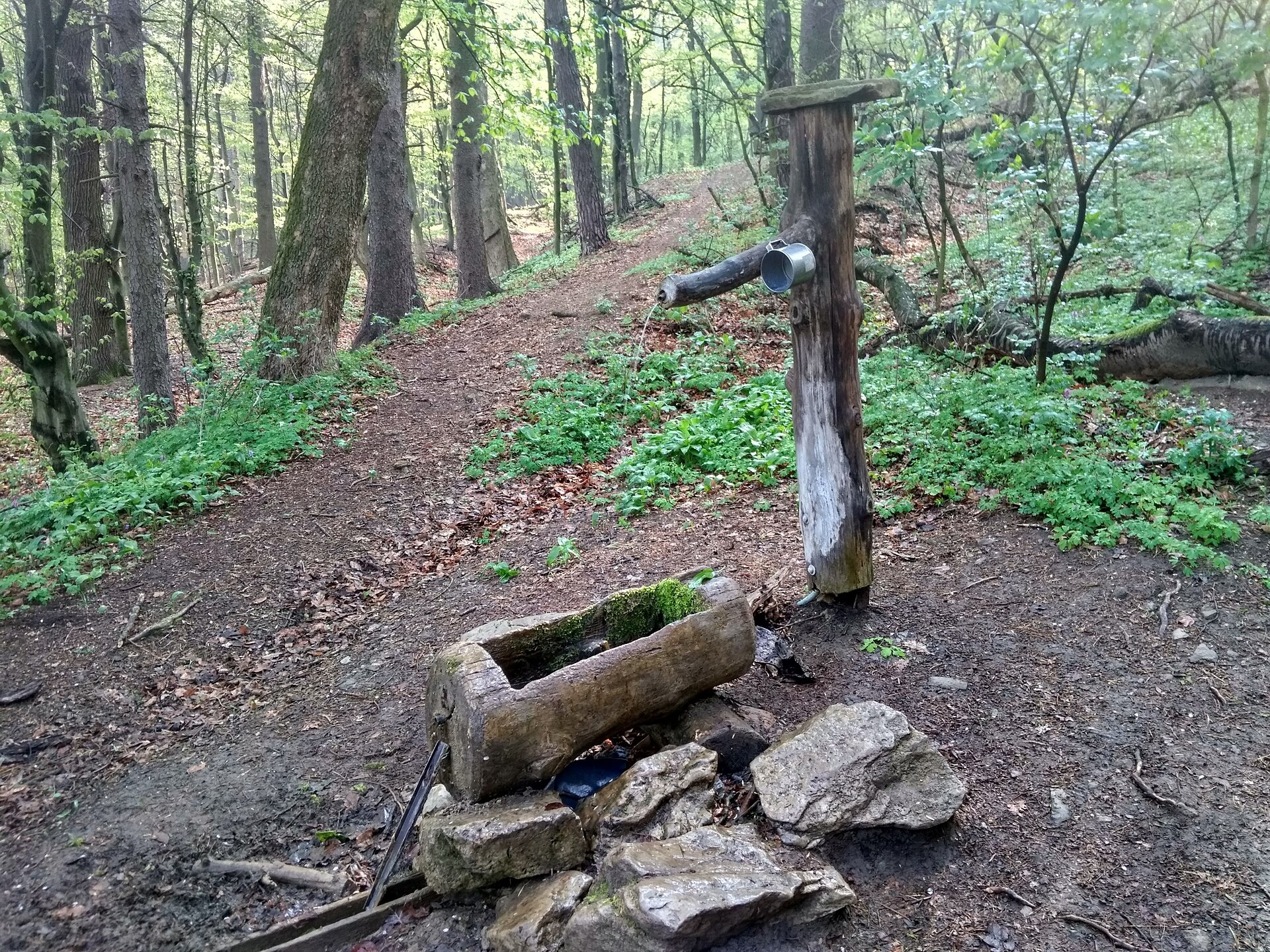
Sološnica is known for its natural surroundings—located near the Vápenná peak (748 m), part of the Roštún National Nature Reserve. The reserve protects karst phenomena, the forests of the Little Carpathians, and rare species of flora and fauna. The area attracts visitors with the cliffs of Little and Great Vápennej and the Čertova Valley. The village also preserves traditions of wooden tool making.
Visitors to Sološnica can choose from numerous hiking trails, including "Plavecké Podhradie – Vápenná", "Dolany – Sološnica", or "Modra, square – Sološnica". For mountain enthusiasts, the peaks Vysoká (Little Carpathians) and Vápenná are accessible. These routes lead through scenic forests, cliffs, and natural landmarks, offering unique views of the Little Carpathians.
Getting there from Ukraine
From Uzhhorod to Žilina is about 330 km, around 4 hours 20 minutes without queues: Uzhhorod – Vyšné Nemecké → I/19 to Košice → D1 via Prešov, Poprad, Liptovský Mikuláš and Ružomberok (≈17 km on I/18 between D1 sections) → Žilina. To Terchová ≈314 km, ≈4 h 15 min: from the D1 onto I/70 and II/583. From Lviv through Poland: M-10 → Krakovets – Korczowa → A4 to Kraków → S7/DK7 to Chyżne – Trstená → R3, I/59 to Dolný Kubín → II/583 via Terchová to Žilina: to Terchová ≈493 km (≈6 h 30 min), to Žilina ≈518 km (≈7 h). The D1 requires an e-vignette (eznamka.sk).
Sources: Wikipedia, Wikidata, OpenStreetMap, Karpaty.rocks data. More on Wikipedia
Trails nearby
All trails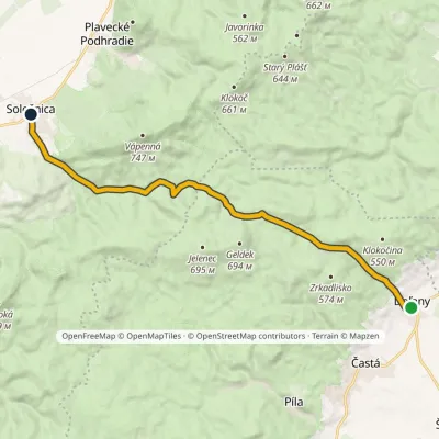 ModerateOne-dayMarkedDoľany SološnicaElevation profile219–511 m14.1 kmascent 325 m≈ 4 h walkingunder 1 km from the centre
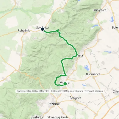 HardMulti-dayMarkedModra, square SološnicaElevation profile175–744 m32.9 kmascent 1 113 m≈ 10.5 h walkingunder 1 km from the centre
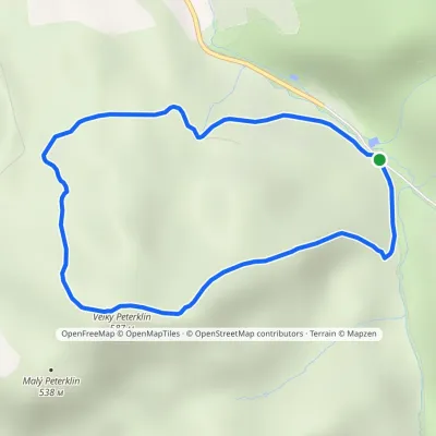 EasyOne-dayMarkedSološnícka dolina Veľký PetrklínElevation profile273–587 m3.8 kmascent 309 m≈ 1.5 h walking1.5 km from the centre
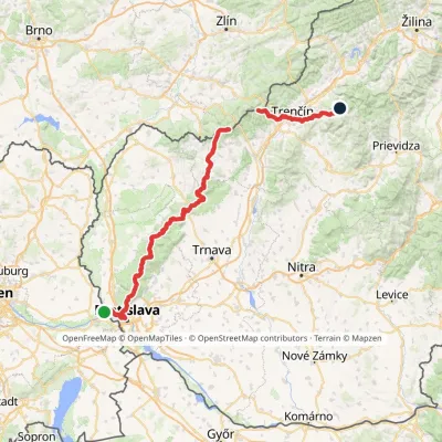 HardMulti-dayMarkedHrad Devín, parking Horná Poruba, U BrdárovElevation profile146–965 m190.1 kmascent 7 200 m1.6 km from the centre
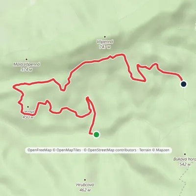 EasyOne-dayMarkedDolné žliabky Pod Veľkým ŠtekovomElevation profile328–597 m7.2 kmascent 272 m≈ 2.5 h walking2.2 km from the centre
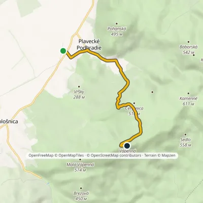 EasyOne-dayMarkedPlavecké Podhradie VápennáElevation profile206–740 m5.2 kmascent 535 m≈ 2.5 h walking2.5 km from the centre
Peaks nearby
All peaks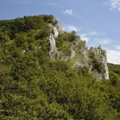 PeakVápennáSološnicaaltitude 752 m3.2 km from the centreVápenná (also Roštún; German Rachsthurn) is a 752 m summit and the third highest peak of the Little Carpathians.
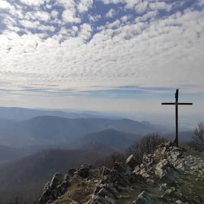 PeakVysoká (Little Carpathians)Kuchyňaaltitude 754 m5.4 km from the centreVysoká is the second-highest summit of the Little Carpathians after Záruby. Slovak geodetic data give it 754.3 m; some other sources state 759 m.
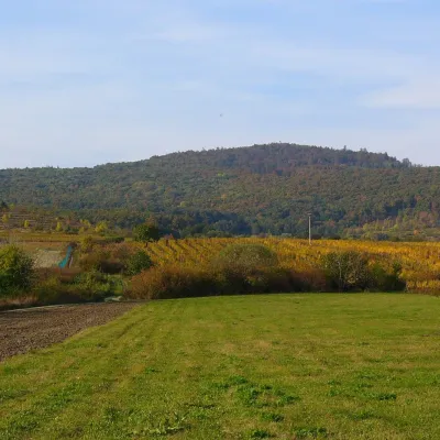 PeakKuklaDubováaltitude 564 m11 km from the centreKukla is a distinctive, solitary 564 m summit in the Little Carpathians (Malé Karpaty) in western Slovakia, in the section known as the Pezinok Carpathians.
What to visit
All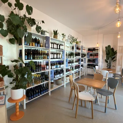 Wine & tastingsJuran z Modry winery: tastings in a Modra wine shopModra15 km from the centreModra is one of the main wine towns of the Little Carpathians: every other courtyard has its own cellar, and rows of vines climb the slopes above the town.
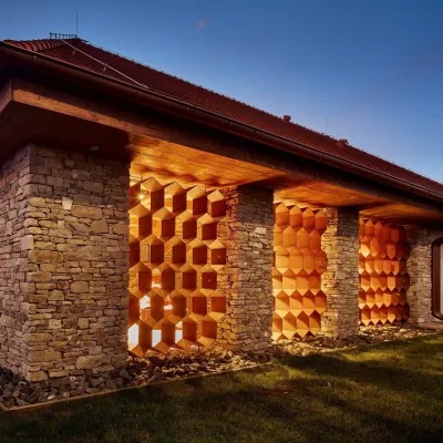 Honey & meaderiesVčelovina meadery, Smolenice: mead and honey beerSmolenice16 km from the centreThis is where the Včelovina meadery works — “a small production with a big heart”, as its founders put it.
 Crafts & workshopsSlovak Folk Majolica in Modra: pottery tour and paintingModra17 km from the centreModra is a small wine town on the eastern slopes of the Little Carpathians, half an hour’s drive from Bratislava.
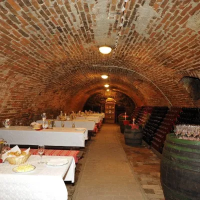 Wine & tastingsHACAJ winery in Pezinok: sparkling wine in a 300-year-old cellarPezinok20 km from the centrePezinok is the centre of the Little Carpathian Wine Route, a town where winegrowers’ houses with deep cellars line the old streets.
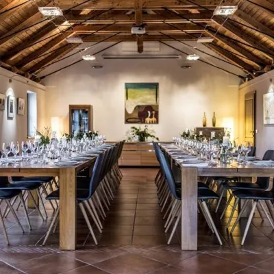 Wine & tastingsKarpatská Perla winery in Šenkvice: tastings and cellarŠenkvice20 km from the centreFrom a home cellar to Winery of the Year Šenkvice is a wine village on the plain below the eastern slopes of the Little Carpathians, between Pezinok and Modra.
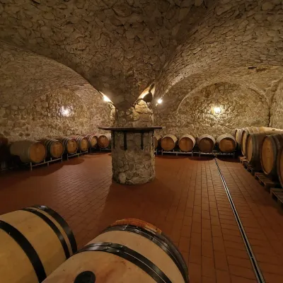 Wine & tastingsMagula Winery, Suchá nad Parnou: biodynamic wines and a farmSuchá nad Parnou21 km from the centreSuchá nad Parnou is a wine village on the south-eastern slopes of the Little Carpathians, near Trnava.
Craft nearby
All craft places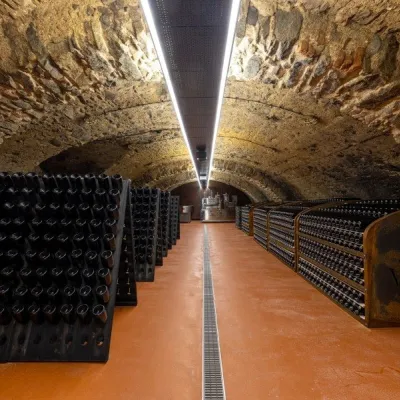 Wine & tastingsVIAJUR winery in Svätý Jur: tastings in the Pálffy cellarsSvätý Jur23 km from the centreWine in old cellars on the edge of Bratislava Svätý Jur is an old wine town at the very foot of the Little Carpathians, just beyond the Bratislava city limits.
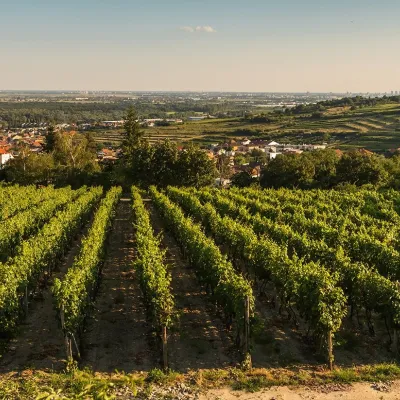 Wine & tastingsDubovský & Grančič Winery, Svätý Jur: tastings and sektSvätý Jur24 km from the centreFrom sixty ares to “Winemaker of the Year” Svätý Jur is an old wine town on the southern slopes of the Little Carpathians, just beyond the Bratislava city limits.
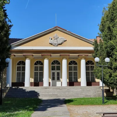 Water parks & thermal poolsSmrdáky: a hydrogen-sulphide spa for skin diseasesSmrdáky29 km from the centreSmrdáky is a small spa village in western Slovakia, on the edge of the Záhorie Lowland and the foothills of the White Carpathians, about 7 km from Senica and 80 km...
Spas and thermal pools nearby
Huts, shelters and springs nearby
Getting there from Ukraine
Border crossings
- Uzhhorod – Vyšné Nemecké — road, 24/7
- Malyi Bereznyi – Ubľa — road, 24/7 For cars and buses; pedestrians not confirmed by the Ukrainian border service, lorries up to 3.5 t.
- Mali Selmentsi – Veľké Slemence (pedestrian) — pedestrian, 09:00–21:00 Kyiv time Pedestrians and cyclists only; inconvenient for the Tatras without onward transport.
- Chop – Čierna nad Tisou (rail) — rail, 24/7
By car
From Uzhhorod to Žilina ≈330 km, ≈4 h 20 min without queues: Uzhhorod – Vyšné Nemecké → I/19 to Košice → D1 via Prešov, Poprad, Liptovský Mikuláš and Ružomberok (≈17 km on I/18 between D1 sections) → Žilina. To Terchová ≈314 km, ≈4 h 15 min: from the D1 onto I/70 and II/583. From Lviv through Poland: M-10 → Krakovets – Korczowa → A4 to Kraków → S7/DK7 to Chyżne – Trstená → R3, I/59 to Dolný Kubín → II/583 via Terchová to Žilina: to Terchová ≈493 km (≈6 h 30 min), to Žilina ≈518 km (≈7 h). Via the tolled A4 Kraków – Katowice, S1 and D3: ≈533 km, ≈6 h 35 min. The D1 requires an e-vignette (eznamka.sk).
Checked 23.10.2026; border crossing hours and timetables change — check before you travel.
