Kukla
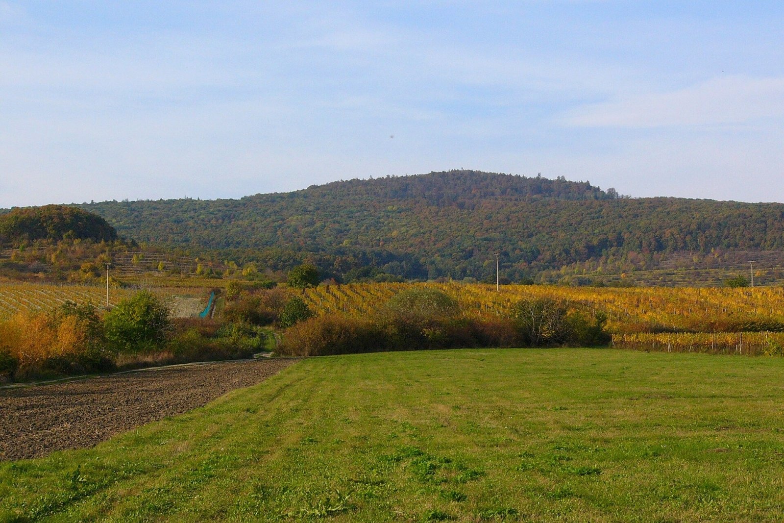
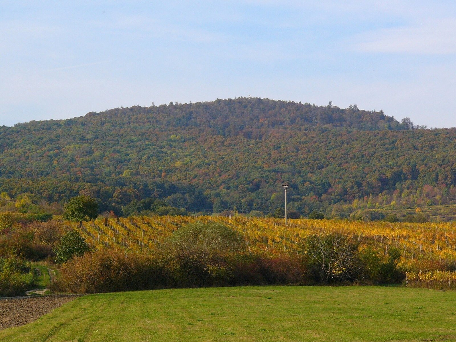
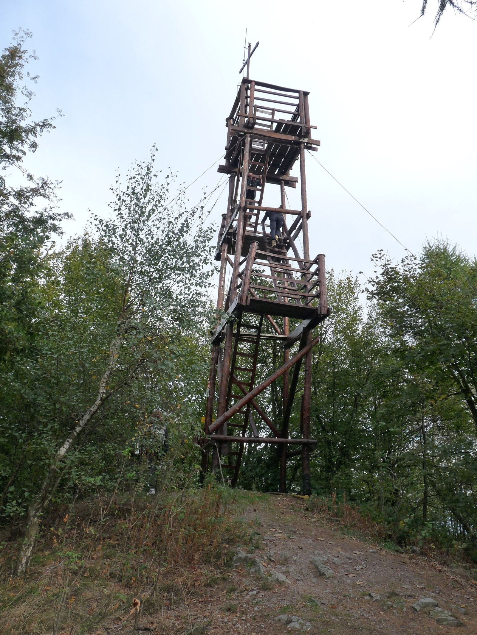
Kukla is a distinctive, solitary 564 m summit in the Little Carpathians (Malé Karpaty) in western Slovakia, in the section known as the Pezinok Carpathians. It rises above the village of Dubová in the Pezinok District of the Bratislava Region, about 6 km north of the wine town of Modra. Píla, Častá and Červený Kameň Castle lie nearby. The hill belongs to the Malé Karpaty Protected Landscape Area. Thanks to its easy ascent and its lookout tower, Kukla is a favourite Sunday-walk destination for locals, including families with children.
How to get there / routes
The climb to Kukla is easy and suitable even for walks with children.
- Blue: from Dubová past the Fúgelka camp to the summit and on to the Tri kopce junction and Zochova chata.
- Yellow: from Červený Kameň Castle via the village of Píla to the junction with the blue trail, then blue to the summit.
- Green: from Modra-Harmónia to the Tri kopce junction, then blue. The blue trail can also be joined from Zochova chata via Tri kopce.
At the southern foot of the hill lie a cottage settlement and the Fúgelka recreation camp — a convenient starting point for a shorter climb.
What you can see from the summit
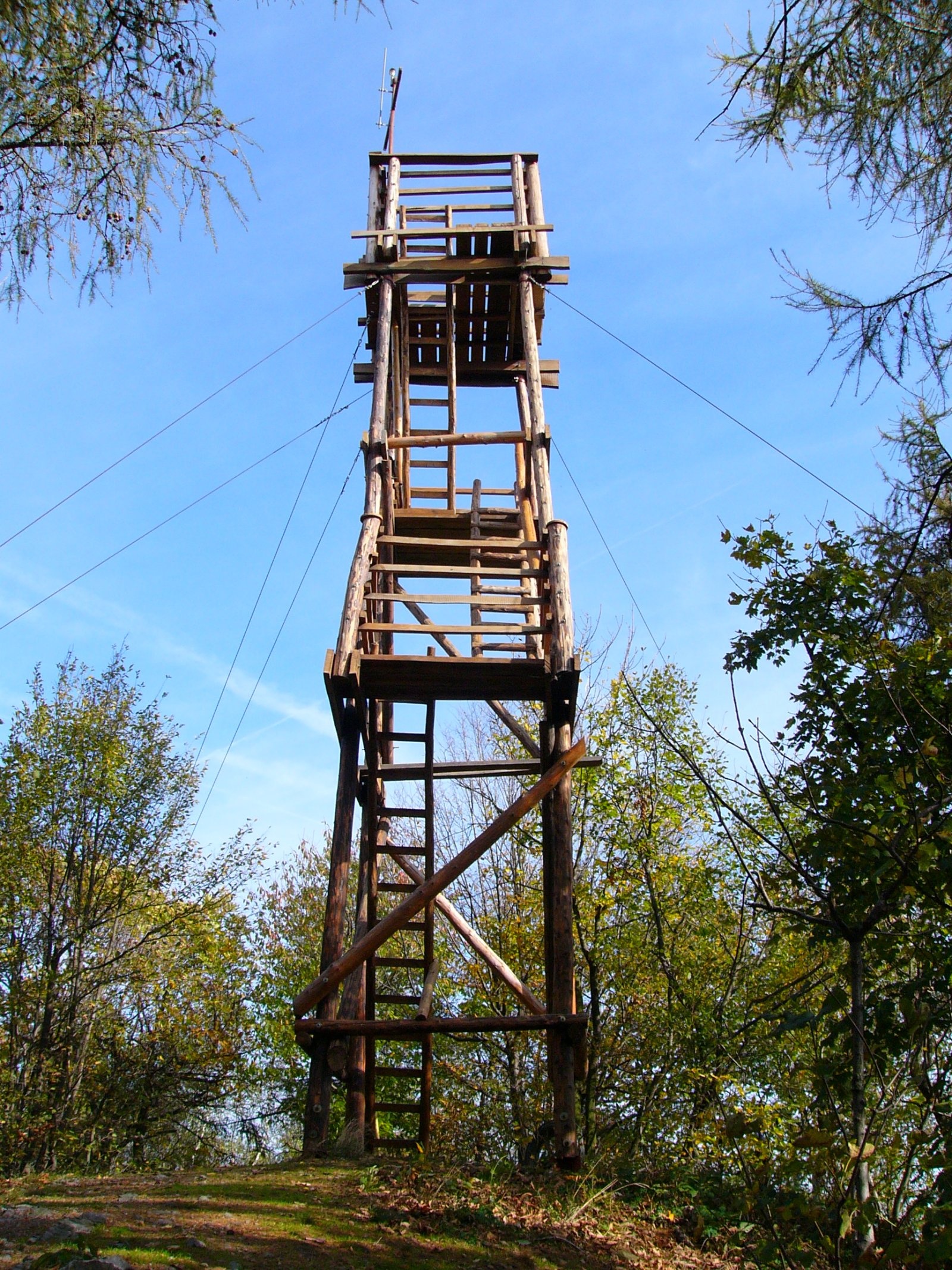
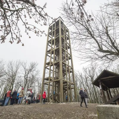
The forest blocks the view, but on the small summit platform stands a 12 m wooden lookout tower, built in 2007 on the site of an older one. It offers a fine panorama over the whole Pezinok Carpathians and Červený Kameň Castle, and in good visibility over more distant ranges. Next to the tower there is a fire pit with benches.
Nature and history
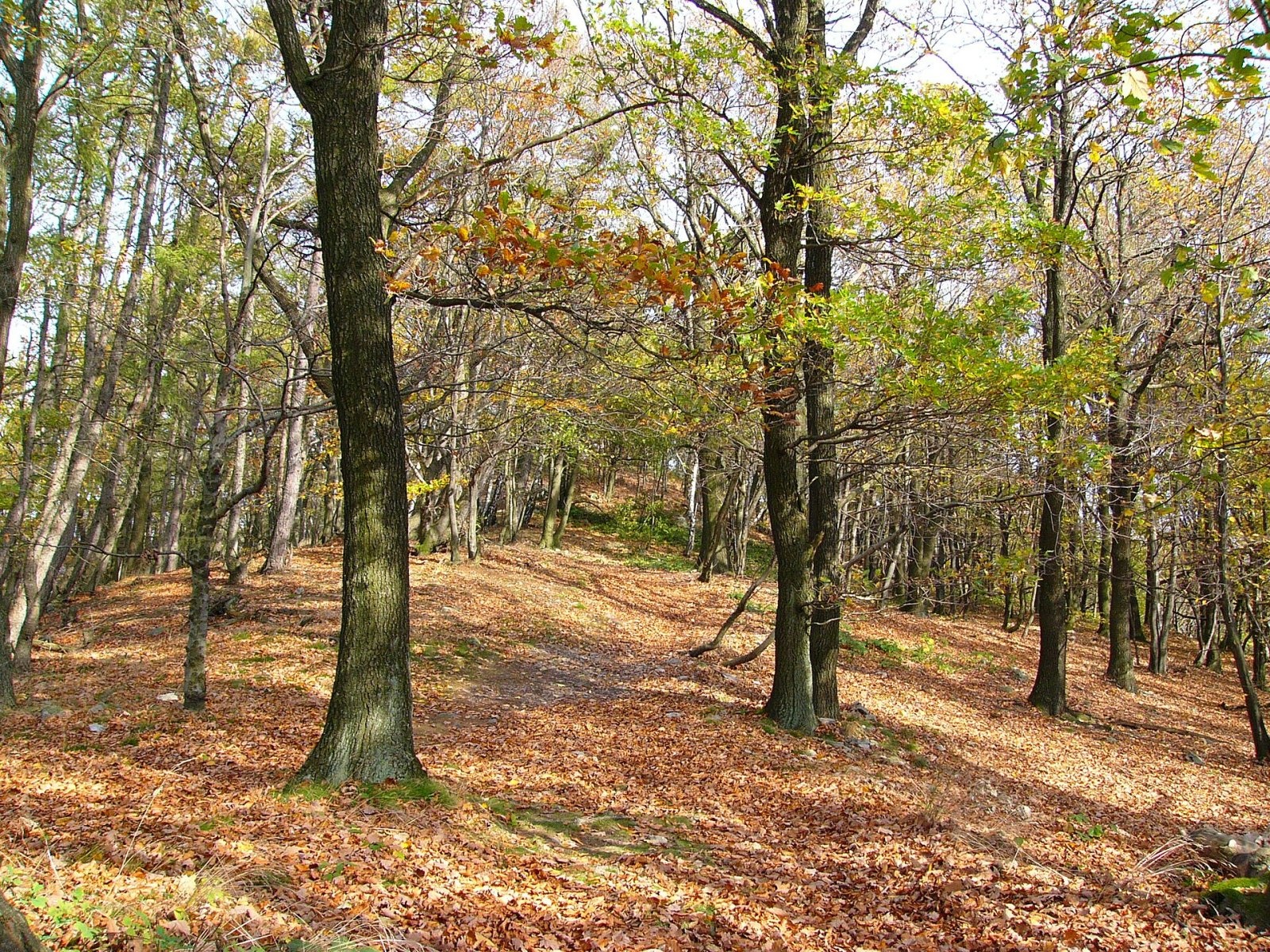
Kukla is fully forested with the oak–beech woodland typical of the Little Carpathians. The summit ridge is narrow and elongated, and on the western side rises the 25 m crag Čertove zuby (“Devil’s Teeth”), suitable for practice climbing. A local legend about the origin of Červený Kameň Castle, which stands nearby above the village of Častá, is linked to the hill.
The Little Carpathians are one of the westernmost ranges of the Carpathian arc, stretching north-east from Bratislava. The Pezinok Carpathians with Kukla form their middle part, where the wooded crest drops steeply east to the vineyards around Modra and Pezinok. These forests, like the whole Malé Karpaty Protected Landscape Area, serve as a natural recreation park for people from the capital region.
Safety, season and rules
The routes are easy and open all year, but stony paths are slippery in wet weather and can ice up in winter. Climb Čertove zuby only with protection and experience. Light fires only at the prepared fire pit and follow the rules of the protected landscape area. Emergency number 112; in the Slovak mountains the Mountain Rescue Service (HZS) also operates: 18 300 (+421 18 300).
Interesting facts
- The present wooden tower on Kukla was built in 2007 on the site of an older one.
- The roughly 25 m Čertove zuby crag is a popular practice spot for climbers from around Modra.
Photos: Teslaton, CC BY 3.0; Teslaton, CC BY 3.0; Teslaton, CC BY 3.0; Teslaton, CC BY 3.0; Akul59, CC BY-SA 4.0; Teslaton, CC BY 3.0; Boris H, CC BY 3.0 — Wikimedia Commons.
Getting there from Ukraine
Border crossings
- Uzhhorod – Vyšné Nemecké — road, 24/7
- Malyi Bereznyi – Ubľa — road, 24/7 For cars and buses; pedestrians not confirmed by the Ukrainian border service, lorries up to 3.5 t.
- Mali Selmentsi – Veľké Slemence (pedestrian) — pedestrian, 09:00–21:00 Kyiv time Pedestrians and cyclists only; inconvenient for the Tatras without onward transport.
- Chop – Čierna nad Tisou (rail) — rail, 24/7
By car
From Uzhhorod to Žilina ≈330 km, ≈4 h 20 min without queues: Uzhhorod – Vyšné Nemecké → I/19 to Košice → D1 via Prešov, Poprad, Liptovský Mikuláš and Ružomberok (≈17 km on I/18 between D1 sections) → Žilina. To Terchová ≈314 km, ≈4 h 15 min: from the D1 onto I/70 and II/583. From Lviv through Poland: M-10 → Krakovets – Korczowa → A4 to Kraków → S7/DK7 to Chyżne – Trstená → R3, I/59 to Dolný Kubín → II/583 via Terchová to Žilina: to Terchová ≈493 km (≈6 h 30 min), to Žilina ≈518 km (≈7 h). Via the tolled A4 Kraków – Katowice, S1 and D3: ≈533 km, ≈6 h 35 min. The D1 requires an e-vignette (eznamka.sk).
Checked 23.10.2026; border crossing hours and timetables change — check before you travel.
Location on the map
Water and shelter nearby
- Studnička Nad Imriškou Spring870 m · Not verified · 337 m
- Pekná lúka Spring1.2 km · Not verified · 378 m
- Žlábek Spring1.2 km · Not verified · 276 m
- Spring below Kalvária (south slope)1.3 km · Not verified · 244 m
- Drinking water below Kalvária (south-west slope), 240 m1.4 km · Not verified · 240 m
- Libuška Spring1.6 km · Not verified · 428 m
- Vítkov Spring1.6 km · Not verified · 298 m
- KPT Spring1.6 km · Not verified · 388 m
- Spring below Kalvária (north slope)2.7 km · Not verified · 358 m
- Zochova Shelter2.9 km · Standing · 457 m
Comments
Trails nearby
All trails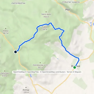 EasyOne-dayMarkedDubová Medvedia skalaElevation profile226–564 m6.1 kmascent 346 m≈ 2 h walkingunder 1 km from Kukla
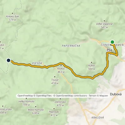 ModerateOne-dayMarkedČervený Kameň, castle ČermákElevation profile233–613 m10.1 kmascent 467 m≈ 3.5 h walkingunder 1 km from Kukla
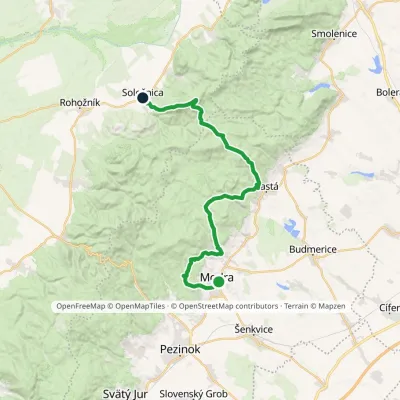 HardMulti-dayMarkedModra, square SološnicaElevation profile175–744 m32.9 kmascent 1 113 m≈ 10.5 h walking1.2 km from Kukla
Nearby attractions
 PeakVeľká homoľaModraaltitude 709 m4.8 km from KuklaVeľká homoľa is a summit 709 m high in the Little Carpathians (Malé Karpaty), in their Pezinok Carpathians part (Homoľské Karpaty).
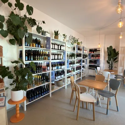 Wine & tastingsJuran z Modry winery: tastings in a Modra wine shopModra5.2 km from KuklaModra is one of the main wine towns of the Little Carpathians: every other courtyard has its own cellar, and rows of vines climb the slopes above the town.
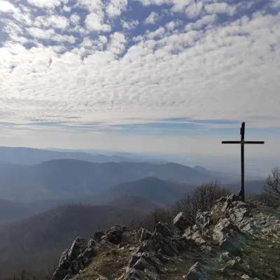 PeakVysoká (Little Carpathians)Kuchyňaaltitude 754 m8.2 km from KuklaVysoká is the second-highest summit of the Little Carpathians after Záruby. Slovak geodetic data give it 754.3 m; some other sources state 759 m.
Craft nearby
All craft places Crafts & workshopsSlovak Folk Majolica in Modra: pottery tour and paintingModra6.4 km from KuklaModra is a small wine town on the eastern slopes of the Little Carpathians, half an hour’s drive from Bratislava.
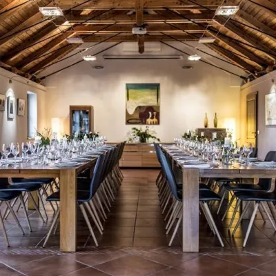 Wine & tastingsKarpatská Perla winery in Šenkvice: tastings and cellarŠenkvice9.5 km from KuklaFrom a home cellar to Winery of the Year Šenkvice is a wine village on the plain below the eastern slopes of the Little Carpathians, between Pezinok and Modra.
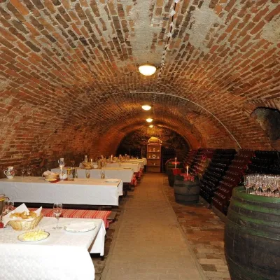 Wine & tastingsHACAJ winery in Pezinok: sparkling wine in a 300-year-old cellarPezinok11 km from KuklaPezinok is the centre of the Little Carpathian Wine Route, a town where winegrowers’ houses with deep cellars line the old streets.
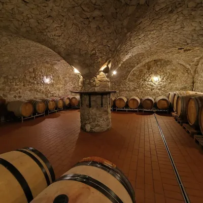 Wine & tastingsMagula Winery, Suchá nad Parnou: biodynamic wines and a farmSuchá nad Parnou14 km from KuklaSuchá nad Parnou is a wine village on the south-eastern slopes of the Little Carpathians, near Trnava.
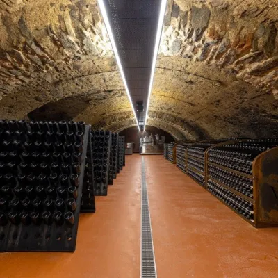 Wine & tastingsVIAJUR winery in Svätý Jur: tastings in the Pálffy cellarsSvätý Jur16 km from KuklaWine in old cellars on the edge of Bratislava Svätý Jur is an old wine town at the very foot of the Little Carpathians, just beyond the Bratislava city limits.
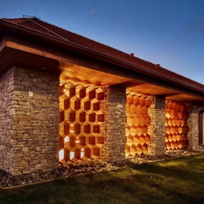 Honey & meaderiesVčelovina meadery, Smolenice: mead and honey beerSmolenice17 km from KuklaThis is where the Včelovina meadery works — “a small production with a big heart”, as its founders put it.
