Veľká homoľa
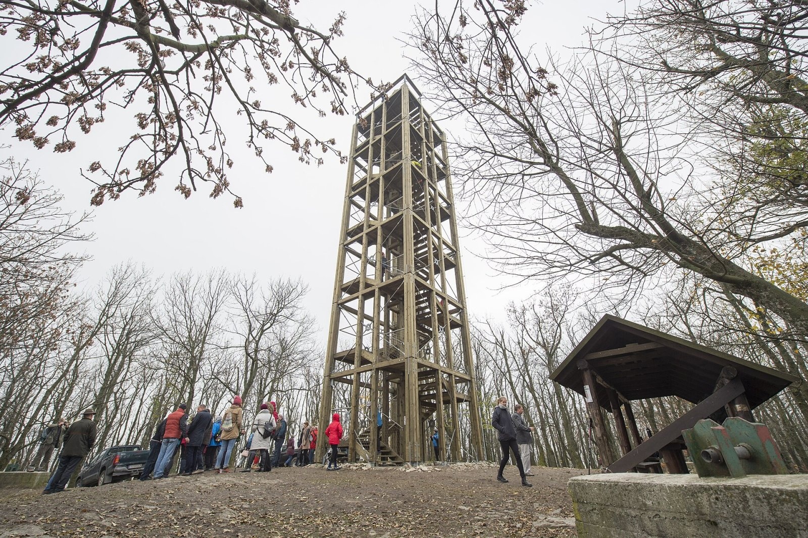
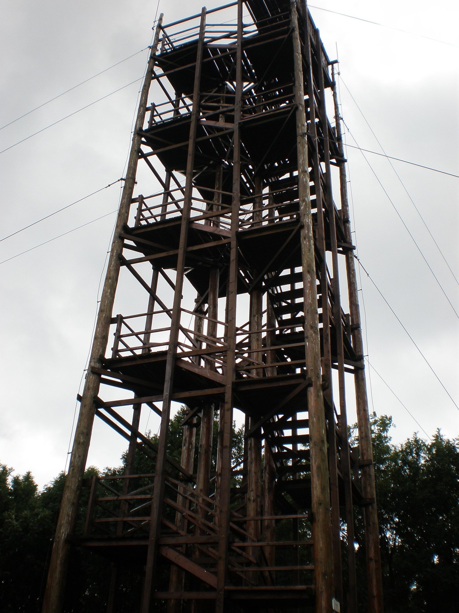
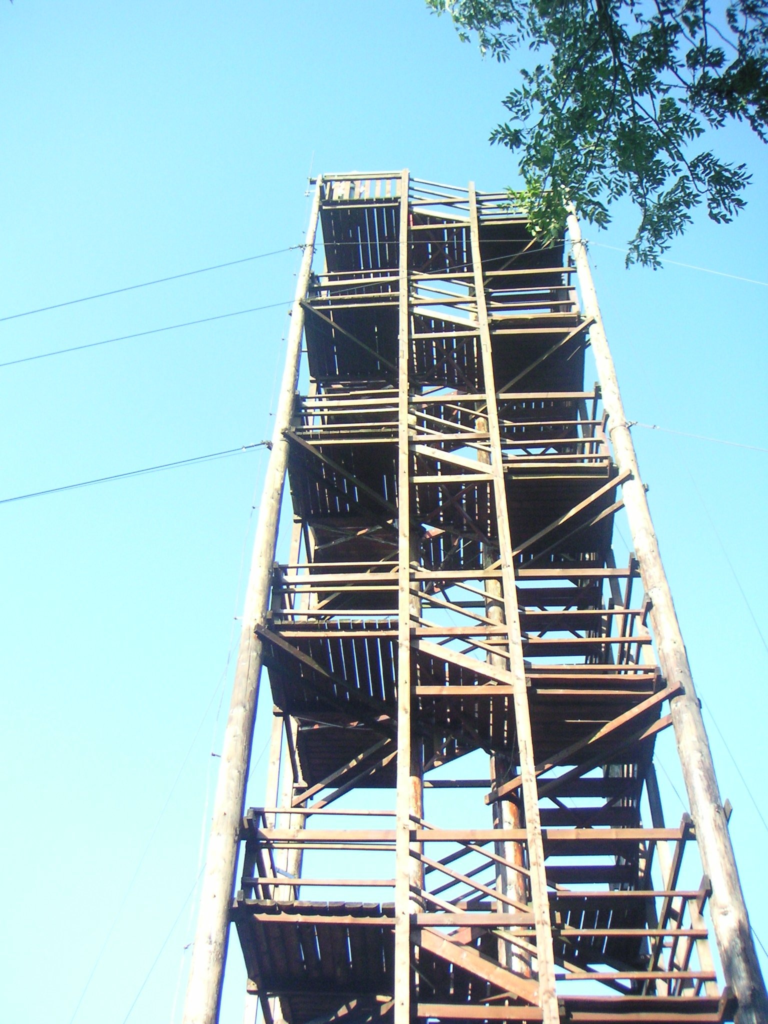
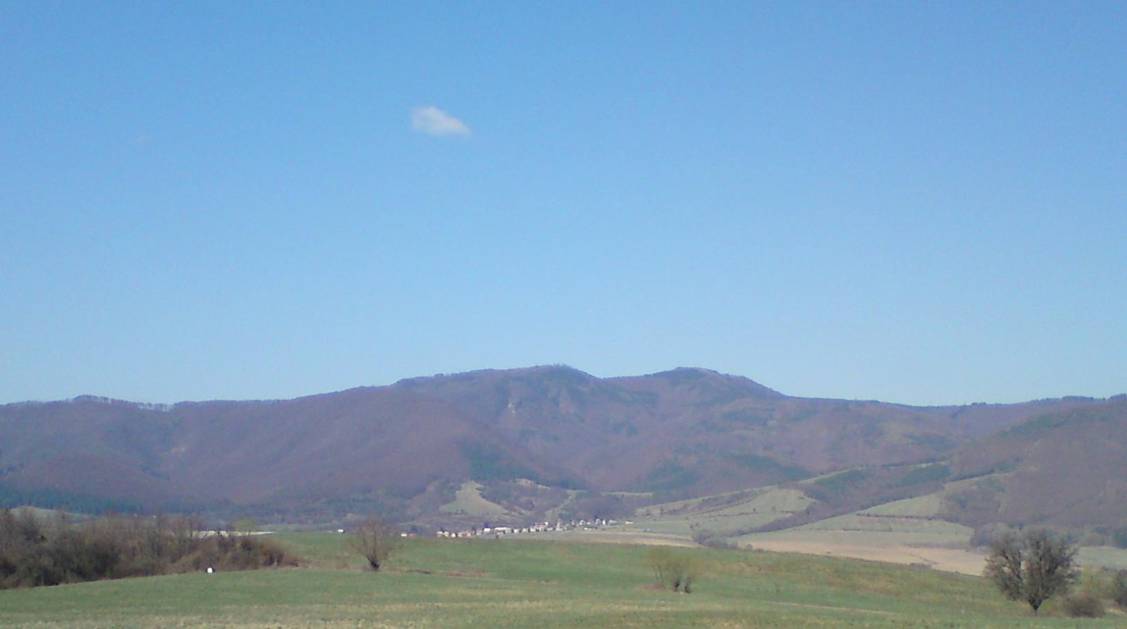
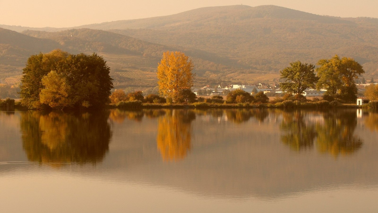
Veľká homoľa is a summit 709 m high in the Little Carpathians (Malé Karpaty), in their Pezinok Carpathians part (Homoľské Karpaty). It stands above the town of Modra, about 4 km north-west of its centre, in the Bratislava Region; Pezinok lies to the south and the villages of Dubová and Píla to the east. The bulky mountain sits on a side ridge that joins the main ridge at Tri kopce (662 m). It is a well-known walking goal for people from Modra, Pezinok and Bratislava, mainly thanks to the lookout tower on the top.
Getting there / routes
There is a dense network of marked trails around the mountain:
- Red: from Modra-Harmónia via the junction at Zochova chata in the Piesok resort (with a bus stop at Zochova chata); also from the south from Pezinok.
- Blue — the Ľudovít Štúr Trail: from Modra.
- Green: from the south from Pezinok or from the west from Kuchyňa via the Čermák junction, where it joins the Štefánik trail on the route of the SNP Heroes’ Trail.
- Yellow: from the west from Pernek via Sedlo pod Javorinou and the Vápenka junction.
The Slovak section of the Way of St James (stage Budmerice – Pezinok) also crosses the summit.
What you can see from the summit
The summit itself is covered by continuous forest, so without the tower the view is limited — a partial view opens only from the northern slopes, left with low vegetation after logging. From the lookout tower, however, the view is all-round: many Little Carpathian peaks and the Danubian Lowland, and in good conditions the White Carpathians, the Strážov Mountains, Považský Inovec, Vtáčnik, Tribeč and, to the south-west, the foothills of the Alps.
Nature and history
The first wooden lookout tower, 20 m high, was built in 2001 with support from the towns of Pezinok and Modra and the PHARE fund, on a proposal by Milan Ružek; scouts helped substantially with the construction. The old tower was later replaced by a new one, presented by the Bratislava Self-Governing Region as a new tourist lookout.
Neighbouring summits are Peprovec (472 m) and Malá homoľa (638 m) to the east, Barvienok (391 m) to the south, Kamenná brána (608 m), Čmeľok (709 m) and Čertov kopec (752 m) to the west, and Tri kopce and Modranská Baba (646 m) to the north. The eastern slopes drain through the Stoličný stream, the northern ones through its tributary the Vištucký stream and the southern ones through the Kamenný stream, all flowing to the Čierna voda and the Little Danube. The mountain belongs to the Little Carpathians Protected Landscape Area (CHKO).
Safety, season and rules
The routes are easy and family-friendly, but climb the tower only in dry weather and never during a thunderstorm; in winter the stairs can be slippery. In the Little Carpathians CHKO stay on marked trails and make fires only in designated places. Slovak Mountain Rescue Service (HZS): 18 300 (+421 18 300), general emergency number 112.
Photos: ŽupaBA VUCBA, CC BY 2.0; Plepo, Public domain; John fitzburn, CC BY-SA 3.0; Pe3kZA, CC BY-SA 3.0; ANDREJ NEUHERZ, CC BY-SA 3.0 — Wikimedia Commons.
Getting there from Ukraine
Border crossings
- Uzhhorod – Vyšné Nemecké — road, 24/7
- Malyi Bereznyi – Ubľa — road, 24/7 For cars and buses; pedestrians not confirmed by the Ukrainian border service, lorries up to 3.5 t.
- Mali Selmentsi – Veľké Slemence (pedestrian) — pedestrian, 09:00–21:00 Kyiv time Pedestrians and cyclists only; inconvenient for the Tatras without onward transport.
- Chop – Čierna nad Tisou (rail) — rail, 24/7
By car
From Uzhhorod to Žilina ≈330 km, ≈4 h 20 min without queues: Uzhhorod – Vyšné Nemecké → I/19 to Košice → D1 via Prešov, Poprad, Liptovský Mikuláš and Ružomberok (≈17 km on I/18 between D1 sections) → Žilina. To Terchová ≈314 km, ≈4 h 15 min: from the D1 onto I/70 and II/583. From Lviv through Poland: M-10 → Krakovets – Korczowa → A4 to Kraków → S7/DK7 to Chyżne – Trstená → R3, I/59 to Dolný Kubín → II/583 via Terchová to Žilina: to Terchová ≈493 km (≈6 h 30 min), to Žilina ≈518 km (≈7 h). Via the tolled A4 Kraków – Katowice, S1 and D3: ≈533 km, ≈6 h 35 min. The D1 requires an e-vignette (eznamka.sk).
Checked 23.10.2026; border crossing hours and timetables change — check before you travel.
Location on the map
Water and shelter nearby
- Hillová Spring1.1 km · Not verified · 515 m
- Gbezová studnička Spring, 435 m1.6 km · Not verified · 435 m
- Tovarišská Spring2.1 km · Not verified · 420 m
- Drinking water below Tisové2.2 km · Not verified · 449 m
- Simonka Spring2.3 km · Not verified · 498 m
- Hubert Mountain Shelter2.4 km · Standing · 516 m
- Zochova Shelter2.4 km · Standing · 457 m
- Modranská baba Spring2.5 km · Not verified · 600 m
- Panská studňa Spring2.9 km · Not verified · 531 m
Comments
Trails nearby
All trails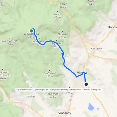 EasyOne-dayMarkedChodník Ľudovíta ŠtúraElevation profile166–709 m7.7 kmascent 2 m≈ 2 h walkingunder 1 km from Veľká homoľa
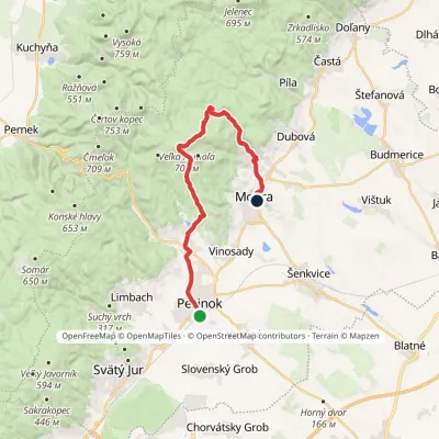 ModerateTwo-dayMarkedPezinok, station Modra, squareElevation profile154–709 m20.9 kmascent 582 m≈ 6.5 h walkingunder 1 km from Veľká homoľa
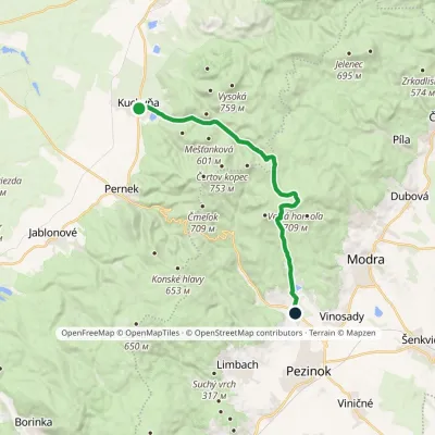 ModerateTwo-dayMarkedZumberg Kuchyňa, kostolElevation profile206–709 m17.9 kmascent 503 m≈ 5.5 h walkingunder 1 km from Veľká homoľa
Nearby attractions
 Wine & tastingsJuran z Modry winery: tastings in a Modra wine shopModra4.7 km from Veľká homoľaModra is one of the main wine towns of the Little Carpathians: every other courtyard has its own cellar, and rows of vines climb the slopes above the town.
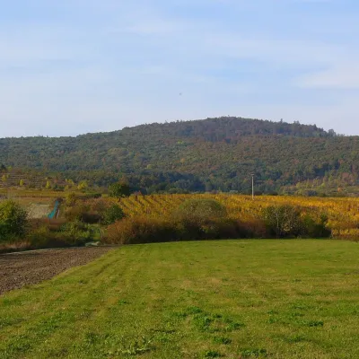 PeakKuklaDubováaltitude 564 m4.8 km from Veľká homoľaKukla is a distinctive, solitary 564 m summit in the Little Carpathians (Malé Karpaty) in western Slovakia, in the section known as the Pezinok Carpathians.
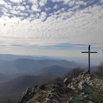 PeakVysoká (Little Carpathians)Kuchyňaaltitude 754 m6.8 km from Veľká homoľaVysoká is the second-highest summit of the Little Carpathians after Záruby. Slovak geodetic data give it 754.3 m; some other sources state 759 m.
Craft nearby
All craft places Crafts & workshopsSlovak Folk Majolica in Modra: pottery tour and paintingModra5.8 km from Veľká homoľaModra is a small wine town on the eastern slopes of the Little Carpathians, half an hour’s drive from Bratislava.
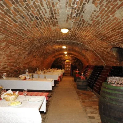 Wine & tastingsHACAJ winery in Pezinok: sparkling wine in a 300-year-old cellarPezinok8.4 km from Veľká homoľaPezinok is the centre of the Little Carpathian Wine Route, a town where winegrowers’ houses with deep cellars line the old streets.
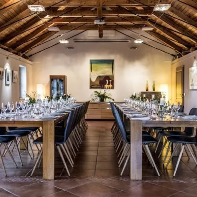 Wine & tastingsKarpatská Perla winery in Šenkvice: tastings and cellarŠenkvice9.7 km from Veľká homoľaFrom a home cellar to Winery of the Year Šenkvice is a wine village on the plain below the eastern slopes of the Little Carpathians, between Pezinok and Modra.
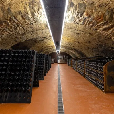 Wine & tastingsVIAJUR winery in Svätý Jur: tastings in the Pálffy cellarsSvätý Jur13 km from Veľká homoľaWine in old cellars on the edge of Bratislava Svätý Jur is an old wine town at the very foot of the Little Carpathians, just beyond the Bratislava city limits.
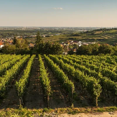 Wine & tastingsDubovský & Grančič Winery, Svätý Jur: tastings and sektSvätý Jur13 km from Veľká homoľaFrom sixty ares to “Winemaker of the Year” Svätý Jur is an old wine town on the southern slopes of the Little Carpathians, just beyond the Bratislava city limits.
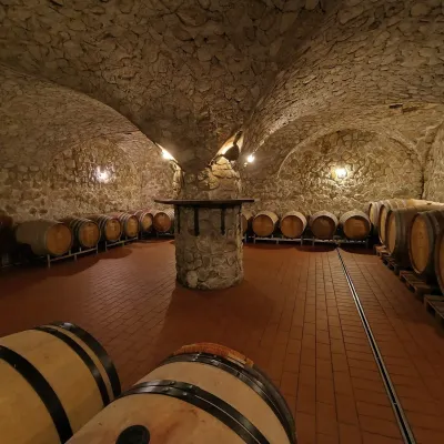 Wine & tastingsMagula Winery, Suchá nad Parnou: biodynamic wines and a farmSuchá nad Parnou19 km from Veľká homoľaSuchá nad Parnou is a wine village on the south-eastern slopes of the Little Carpathians, near Trnava.
