To Hropa polonyna
Trail map
Route, springs and shelters: © OpenStreetMap contributors (ODbL) · elevation: Copernicus DEM © DLR e.V., © Airbus DS · Data & licences
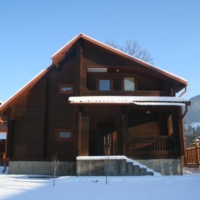
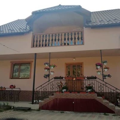
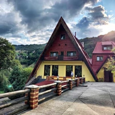
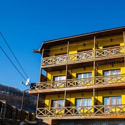
Where to stay nearby
About the trail
Route To Hropa polonyna. Has blue marking (regional route). Waymarking data: OpenStreetMap (© OpenStreetMap contributors, ODbL).
Officially marked regional tourist route. The marking is blue, with a triangle in the corner on a white background. Marked and maintained by: NGO Kvasy. Length of the route — 4.8 km. Location: mountain range — Svidovets, Zakarpattia region.
At a glance
A short route of 4.8 km with 728 m of ascent. Estimated walking time: about 2.5 h, not counting stops. Difficulty: easy. Waymarking: blue.
Route stages
- 0–5 kmClimb of 710 m to Hut on Polonyna Hropa
Steepest kilometre: km 0.5–1.5, a climb of 200 m (≈20%).
Water and overnight stays
Our map shows no springs near the trail — bring your own water (at least 1.5 l).
Huts and shelters near the trail: Hut on Polonyna Hropa (km 5). Places to stay near the start: Drahobrat.
When to go
Best time: May to October. In winter deep snow is possible, so experience and winter gear are needed.
Getting there
Most places to stay near the start are in Drahobrat. This is a one-way route: the finish is 3 km from the start in a straight line, so plan your way back in advance.
FAQ
- How long does the route take?
- Estimated walking time: about 2.5 h, not counting stops.
- Is there water on the route?
- Our map shows no springs near the trail — bring your own water (at least 1.5 l).
- Where can I stay overnight?
- Huts and shelters near the trail: Hut on Polonyna Hropa (km 5). Places to stay near the start: Drahobrat.
Water and shelter on the route
- Hut on Polonyna Hropakm 4.8 from the start · Not verified · 1 311 m
Wildlife along the route
All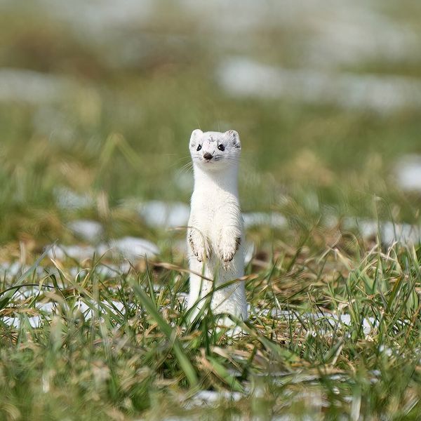
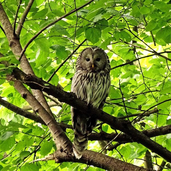
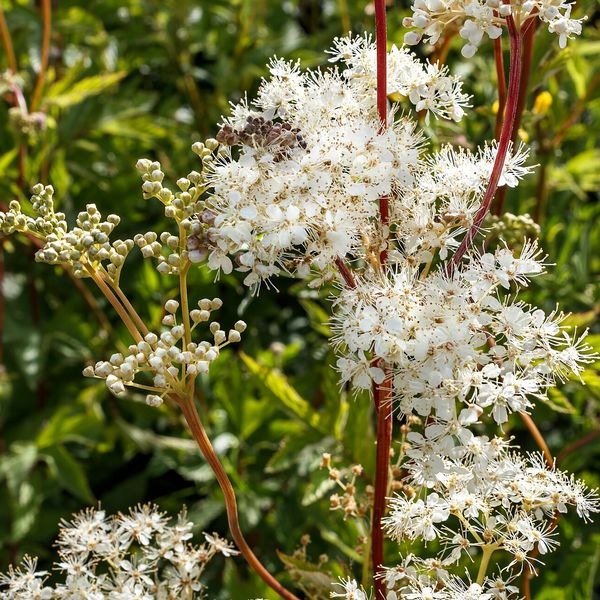
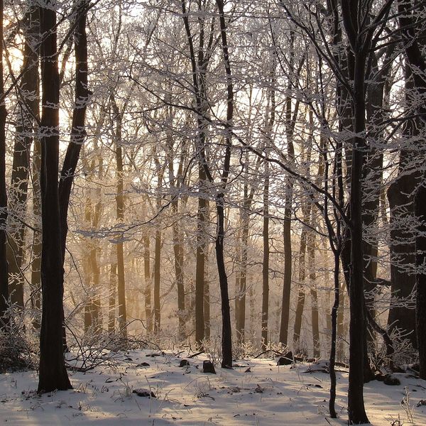
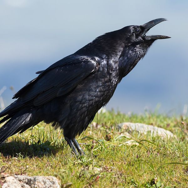
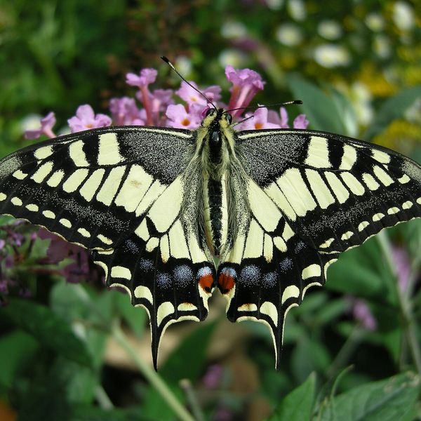
Based on naturalists’ records nearby (GBIF, iNaturalist), matched by altitude, habitat and season. Sightings are not guaranteed.
Before you go, check the border-regime restrictions: Border Guard permit for mountain hikes (in Ukrainian)
Comments
Trails nearby
All trails HardMulti-daySynevyr village to Kvasy villagevia Mount Nehrovets, Mereshor village +3Elevation profile520–1 883 m100.3 kmascent 5 576 m
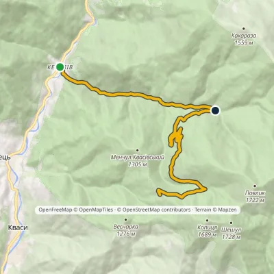 ModerateOne-dayMarkedKeveliv village Mount PetrosElevation profile581–1 287 m12.7 kmascent 845 m≈ 5 h walking
 HardMulti-dayChorna Tysa village to Kvasy villagevia Mount Tataruka, Mount Dohiaska +1Elevation profile554–1 883 m48.8 kmascent 2 431 m
Craft nearby
All craft places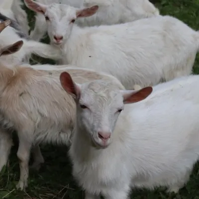 Eco farmsRozental Eco-Farm and Cheese Dairy, KvasyKvasy4.5 km from the trailBeer and cider are brewed here, sheep's-milk ice cream is made, and in the Vaskul area above the village sits the Rozental eco-farm and cheese dairy.
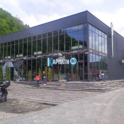 Craft beer & breweriesTsypa Brewery, KvasyKvasy4.8 km from the trailThe Tsypa Hutsul craft brewery in Kvasy is probably the best-known brewery in the Ukrainian Carpathians.
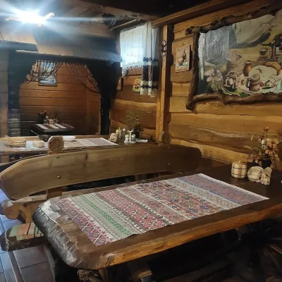 Koliby & Hutsul cuisineU Rizbaria Café, YasiniaYasinya10 km from the trailU Rizbaria Café (“At the Woodcarver’s”) in Yasinia is a small Hutsul place serving home cooking that travellers usually find by word of mouth.
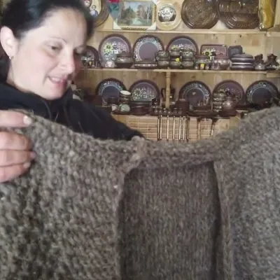 Markets & fairsSouvenir Market on the Yablunytsia Pass, YablunytsiaYablunytsia16 km from the trailThe souvenir market on the Yablunytsia Pass is one of the best-known roadside bazaars in the Carpathians.
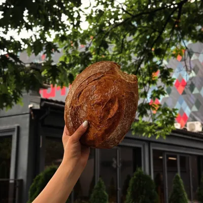 Craft producersDU-MEN craft bakery, RakhivRakhiv17 km from the trailDU-MEN (DU•MEN.craft bakery) is a craft bakery in Rakhiv which, in its own words, has been baking “bread with a history” for twelve years.
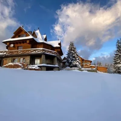 Koliby & Hutsul cuisineVysokyi Pereval Koliba, YablunytsiaYablunytsia17 km from the trailVysokyi Pereval Koliba ("High Pass") stands in Yablunytsia, on the new road to Bukovel, in the Horishkiv area.
