Mount Makovytsia, Yaremche
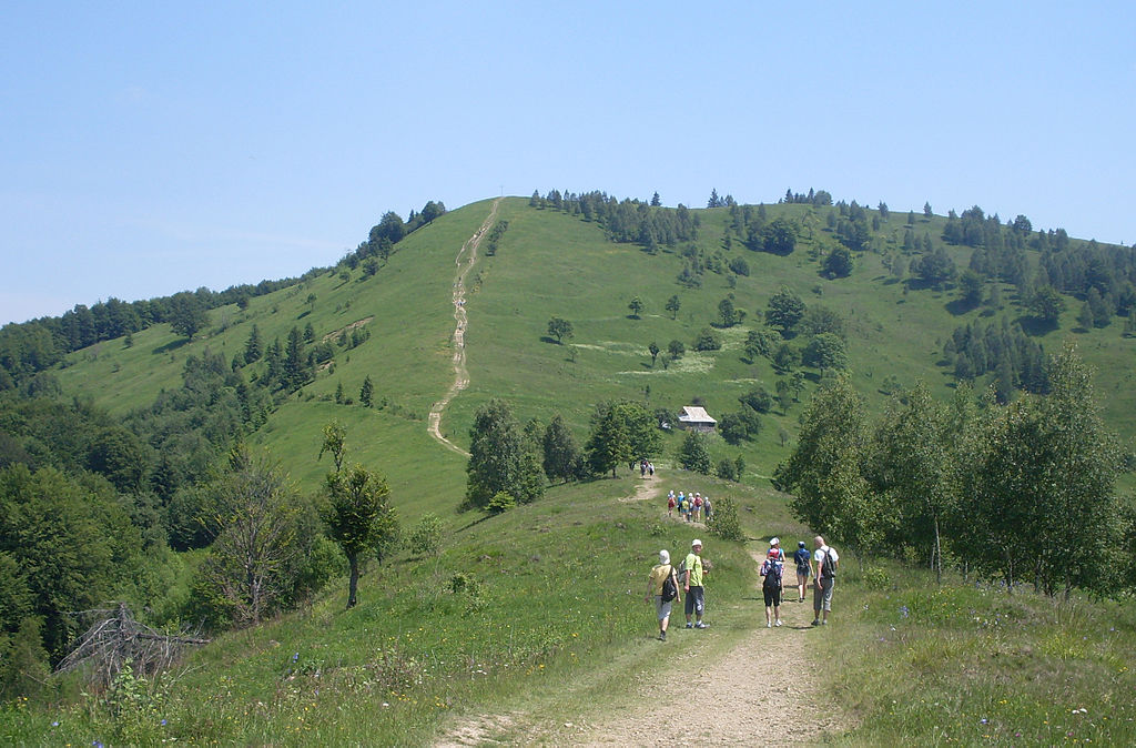
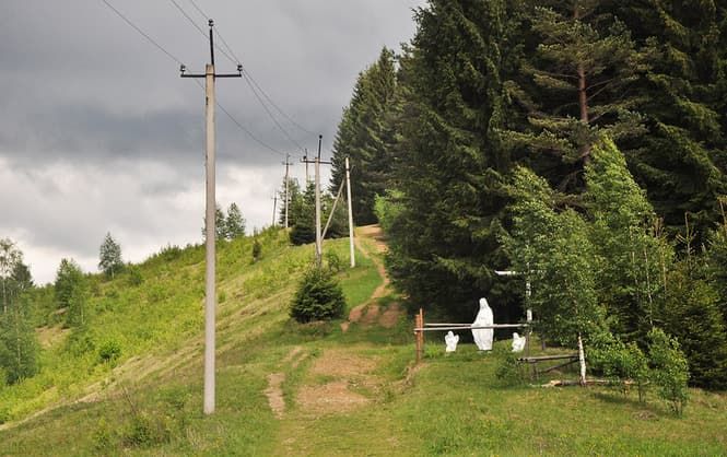
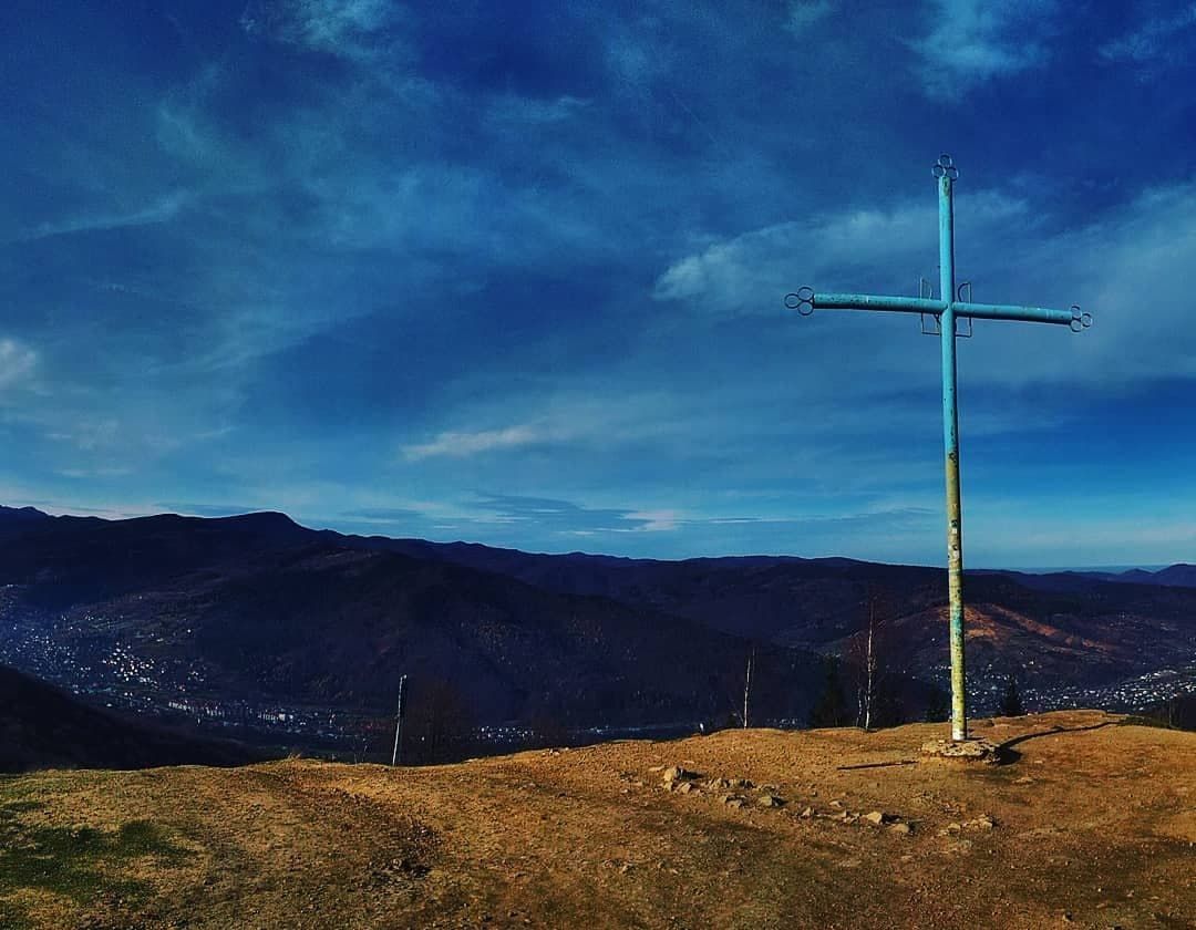
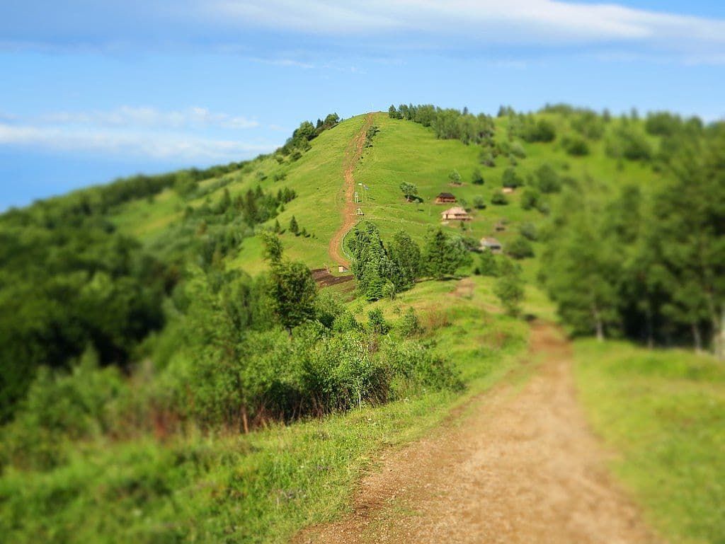
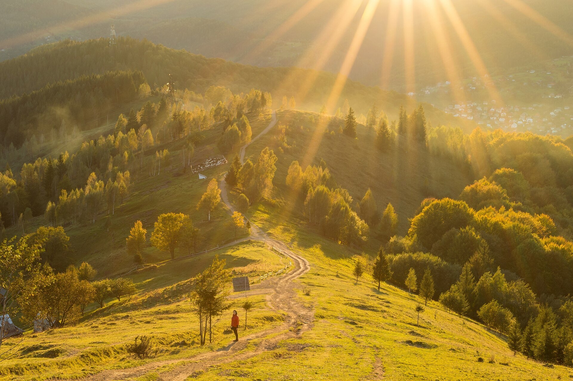
Makovytsia (984 m) is a mountain of the Gorgany range on the eastern edge of Yaremche, in the Carpathian National Nature Park; a cross stands on the summit and a meadow with a cheese farm lies on the slope. From the souvenir market in Yaremche it is about 5 km and over 400 m up, 2–3 hours of walking.
Where it is
Makovytsia is one of the highest mountains around Yaremche; the Prut valley surrounds it on three sides. The nearest settlements are Yaremche to the west, the Yamna suburb and the village of Mykulychyn to the south, the Dora suburb and Deliatyn to the north. Do not confuse it with Makivka near Slavske in the Lviv region.
History
During the First World War there was fighting around Makovytsia between the Austro-Hungarian and Russian armies — trenches are still visible on the summit and slopes. A cross was set up on the mountain in memory of the fallen; signposts next to it show distances: to Yaremche 3.5 km, to Dora 3.5 km, to the Dovbush Rocks 4.5 km.
The polonyna on Makovytsia
The treeless south-western slopes of Makovytsia form a small but lively polonyna: a belt of pastures and hay meadows runs along the ridge from about 810 to 970 m above sea level, almost to the summit. It is the lowest and most accessible polonyna around Yaremche, so this is where many people see Carpathian pastures, a flock of sheep and a shepherd's hut for the first time. The slopes lie within the Carpathian National Nature Park; at the start of the trail there is usually a forest-guard booth where the visitor fee is paid.
What you will see
Above the forest the path comes out onto grassy slopes dotted with birches and spruces. From here you can see the Prut valley with Yaremche and Yamna, the Yavirnyk ridge, Khomiak and Syniak, and on clear days Chornohora with Hoverla and Petros (in haze they are often invisible). There is a wooden gazebo on the polonyna and a swing near the summit that visitors love to photograph. The best time is late afternoon, when the low sun turns the slopes golden.
Cheese and the kolyba: what to know
In the warm season sheep graze the slopes, and the Polonyna Makovytsia farm offers tastings of its own cheeses — budz, vurda and brynza — on a terrace with a mountain view. A kolyba (restaurant hut) serving Hutsul dishes works near the summit. Opening hours and the choice depend on the season, so check before you go. Walk around the flock, keep away from the sheepdogs, and if a dog becomes alert, stop calmly and call the shepherd.
Routes across the polonyna
- From Yaremche, starting at the souvenir market (Ivana Franka St.) — white-green waymarks, about 5 km one way and over 400 m of climbing, 2–3 hours up: Yaremche — Mt Makovytsia.
- A loop via the rocks: Yaremche — Dovbush Rocks — Mt Makovytsia — Yaremche; descend along the Dovbush Trail past the Dovbush Stone.
- A longer loop from the Dora suburb: Dora — Mt Makovytsia — Mt Staiky — Mt Smerichok — Dora (13.2 km, about 800 m of ascent, ~4.5 hours, yellow waymarks).
- For stronger walkers — from Mykulychyn over Mt Kostel and Mt Rokyta to Yaremche.
- Those who do not hike can go up with locals by jeep or quad bike along the forest road; walkers should know that after rain its ruts are churned up and muddy.
Water, weather and safety
There is almost no shade on the polonyna, so in summer bring water, a hat and sunscreen. Our map shows a spring below Mt Makovytsia and a shelter nearby, but their condition has not been checked. After rain the path is slippery and can be muddy where it leaves the forest; in a thunderstorm, descend from the open slope to the forest. In winter the polonyna is covered in snow — wear shoes with a good tread. In an emergency call 112 or 103 — the mountain search and rescue service of the State Emergency Service (DSNS) will help.
What visitors say
- The climb is easy and even children manage it — for many families Makovytsia becomes their first Carpathian summit.
- The most memorable part is the open polonyna with its panorama of the Prut valley; the distant peaks are not visible every day.
- The last few hundred metres to the top are steep, and you may meet jeeps that leave the path rutted.
- The cheese tasting on the polonyna gets praise; prices at the kolyba on the summit are noticeably higher than in town.
- People recommend carrying water and sun protection, and wearing comfortable trekking shoes.
Polonynas and peaks around
- Polonyna Yavirnyk (Yaremche) — the higher neighbouring ridge above Yaremche, clearly visible from Makovytsia.
- Polonyna Khomiakiv and Polonyna Lazok — Gorgany pastures east of Yaremche.
- Polonyna Shchivka — another polonyna nearby.
- Mt Khomiak and Mt Syniak — rocky Gorgany peaks visible from the polonyna.
- Mt Yavirnyk-Gorgan — the highest point of the Yavirnyk ridge.
The summit at a glance
- Elevation: 984 m above sea level
- Range: Gorgany
- Nearest settlement: Yaremche
- Routes over the summit on Karpaty.rocks: 7
- Best time: most of the year, most comfortable from April to October
Routes to the summit
The routes over the summit most viewed by Karpaty.rocks readers. Length and ascent come from our track and a digital elevation model, time from Naismith's rule (without stops).
- Dora – Mount Makovytsia – Mount Staiky – Mount Smerichok – Dora — 13.2 km, ascent 707 m, ≈4.5 h of walking, loop
- Dora hamlet – Bilyi Kamin rock – Mount Syniachka – Shchivka polonyna – Dora hamlet — 23 km, ascent 1,019 m, ≈7.5 h of walking, loop
- Dora village, via Mount Syniachka and Chornohorytsia polonyna to Yaremche — 26.1 km, ascent 972 m, ≈8 h of walking
- Dora village, via Mount Syniachka and Pereslip Pass to Yaremche — 24.6 km, ascent 1,046 m, ≈8 h of walking
- Dora village, via Mount Syniachka and the Chornohorytsia ridge to Yaremche — 22.5 km, ascent 1,045 m, ≈7.5 h of walking
- Dora village, via Mount Bilyi Kamin and Mount Syniachka to Dora village — 23 km, ascent 961 m, ≈7.5 h of walking, loop
All routes over the summit (7)
Weather and safety
Mountain weather changes faster than in the valleys, especially in autumn and spring. Check the forecast before you set off, take water, a rain jacket and a warm layer, and plan to reach the top before midday. Summit weather forecast.
In an emergency call 101 or 112. Carpathian mountain rescue contacts.
FAQ — Makovytsia (Yaremche)
Makovytsia (Yaremche): how high is the summit?
It rises to 984 m above sea level and belongs to the Gorgany range.
Makovytsia (Yaremche): how long does it take to reach the summit?
The shortest of the popular routes is “Dora – Mount Makovytsia – Mount Staiky – Mount Smerichok – Dora”: 13.2 km with 707 m of ascent, about 4.5 h of walking without stops. Allow extra time for rests, photos and the weather.
Makovytsia (Yaremche): when is the best time to go?
The summit can be visited most of the year; it is most comfortable from April to October.
Makovytsia (Yaremche): where to stay nearby?
The nearest settlement in our data is Yaremche. Places to stay nearby: hotels, guesthouses and cottages.
Photos: Sidoruk Dmitry, CC BY-SA 4.0, Wikimedia Commons; Andy Shustykevych, CC BY-SA 3.0, Wikimedia Commons; Nata Mostova, CC BY-SA 4.0, Wikimedia Commons.
Video
 Гора Маковиця 13 10 2019 маршрут через найстаріший бук ВІДЕОГаращук Василь
Location on the map
Water and shelter nearby
- Spring below Mount Makovytsia (8)250 m · Not verified · 877 m
- Spring below Mount Makovytsia (10)320 m · Not verified · 909 m
- Spring below Mount Makovytsia (9)370 m · Not verified · 871 m
- Spring below Mount Makovytsia (7)1.6 km · Not verified · 642 m
- Spring below Mount Makovytsia (5)2.2 km · Not verified · 585 m
- Spring below Mount Makovytsia (6)2.3 km · Not verified · 562 m
- Spring below Mount Makovytsia (4)2.5 km · Not verified · 521 m
- Well below Mount Makovytsia2.5 km · Not verified · 489 m
- Drinking water below Mount Skelia Bilyi Kamin2.7 km · Not verified · 542 m
Comments
Places to stay nearby
All stays HotelZa rikoyuYaremche1.7 km from Mount Makovytsia, YaremcheHot tubSaunaBBQNearby: Dovbush trail in Yaremche 1.6 kmMount Makovytsia 1.7 km31 trailsfrom 1 800 UAH per night
 HotelKarpatyjski DzherelaYaremche1.8 km from Mount Makovytsia, YaremcheHot tubPoolSaunaNearby: Dovbush trail in Yaremche 700 mMount Makovytsia 1.8 km42 trailsfrom 3 680 UAH per night
 HotelKhyzhkyYaremche1.8 km from Mount Makovytsia, YaremcheSaunaBBQParkingNearby: Dovbush trail in Yaremche 1.5 kmMount Makovytsia 1.8 km43 trailsfrom 1 949 UAH per night
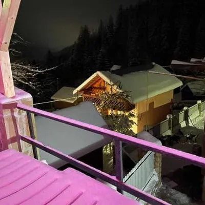 CottageHirska RosaYaremche1.9 km from Mount Makovytsia, YaremcheHot tubPoolSaunaNearby: Dovbush trail in Yaremche 700 mMount Makovytsia 1.9 km42 trailsfrom 3 400 UAH per night
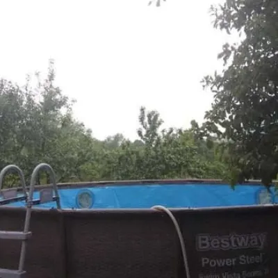 HotelHoryankaYaremche1.9 km from Mount Makovytsia, YaremchePoolSaunaBBQNearby: Mount Makovytsia 1.9 kmDovbush trail in Yaremche 2.9 km28 trailsfrom 1 380 UAH per night
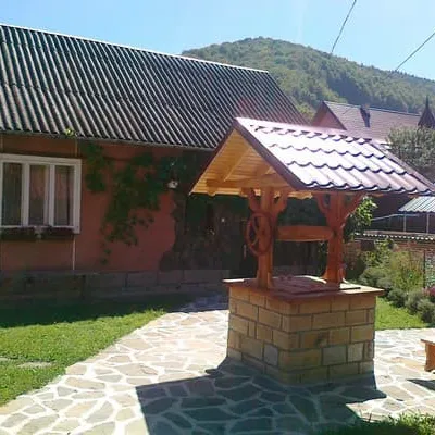 CottageBorgazaYaremche2.1 km from Mount Makovytsia, YaremcheSaunaBBQParkingNearby: Dovbush trail in Yaremche 1.7 kmMount Makovytsia 2.1 km31 trailsfrom 1 700 UAH per night
Trails via Mount Makovytsia, Yaremche
All 7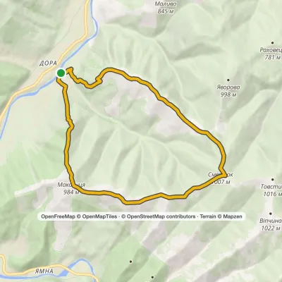 ModerateOne-dayMarkedDora loopvia Mount Makovytsia, Mount Staiky +1Elevation profile470–1 007 m13.2 kmascent 707 m≈ 4.5 h walking
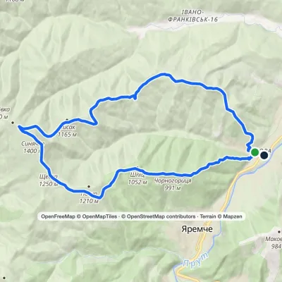 HardTwo-dayMarkedDora hamlet loopvia Bilyi Kamin rock, Mount Syniachka +1Elevation profile484–1 400 m23 kmascent 1 019 m≈ 8 h walking
 HardMulti-dayMarkedDora village to Yaremchevia Mount Syniachka, Pereslip Pass +2Elevation profile480–1 467 m50.1 kmascent 1 898 m
Nearby attractions
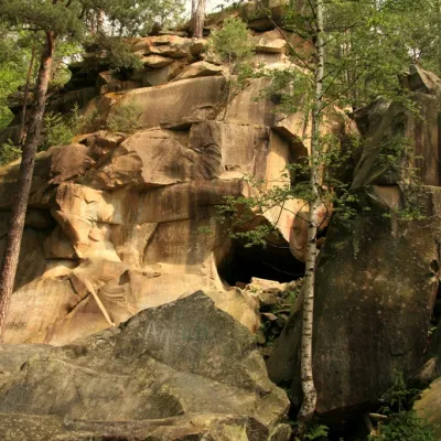 NatureDovbush trail in YaremcheYaremche1.9 km from Mount Makovytsia, YaremcheIn the Ukrainian Carpathians, there are many sites named after the leader of the Oprishka, Oleksa Dovbush: Dovbush Rocks, Dovbush Stone, Dovbush Cave.
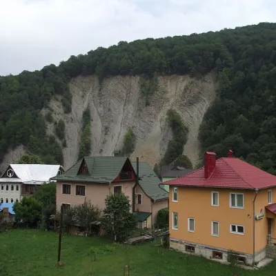 NatureElephant Rock, YaremcheYaremche2 km from Mount Makovytsia, YaremcheThe ElephantRock belongs to the Gorgany mountain system. It is located on the Prut River to the east of the central part of Yaremche.
 MuseumMuseum of Ecology and Ethnography of the Carpathian Region, YaremcheYaremche2.6 km from Mount Makovytsia, YaremcheThe Museum of Ethnography and Ecology was founded quite recently, but it has already won the sympathy of local Yaremche residents and tourists who have visited it.
Craft nearby
All craft places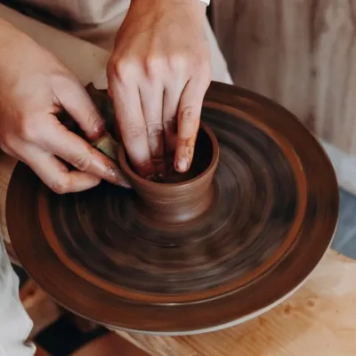 Ethno tours & guidesKosiv & Yavoriv Hutsul Crafts Tour from YaremcheYaremche2.6 km from Mount Makovytsia, YaremcheIf you are staying in Yaremche or Bukovel and want to see the real craft heartland of the Hutsul region, not just the mountain views, a handy option is a day tour to...
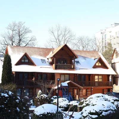 Koliby & Hutsul cuisineKrasna Sadyba Koliba, YaremcheYaremche2.7 km from Mount Makovytsia, YaremcheKrasna Sadyba in Yaremche is one of the town’s busiest places to eat: it has almost seven and a half thousand reviews on Google Maps.
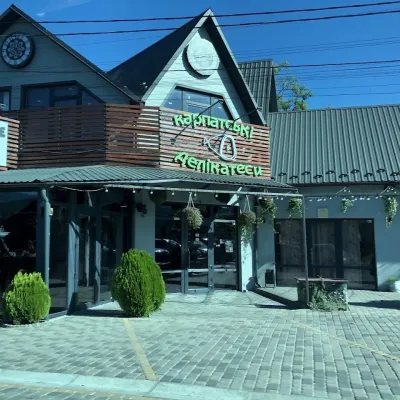 Craft shopsKarpatski Delikatesy farm shop, YaremcheYaremche3.2 km from Mount Makovytsia, YaremcheKarpatski Delikatesy (“Carpathian Delicacies”) is one of the largest shops of local products in Yaremche, right on the main road through town at 59/2 Svobody Street.
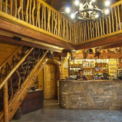 Koliby & Hutsul cuisineNa Penkakh Koliba, YaremcheYaremche3.2 km from Mount Makovytsia, YaremcheNa Penkakh koliba in Yaremche (“On the Stumps”) sits on quiet Svobody Street, right at the forest edge and near the start of the popular Dovbush Trail.
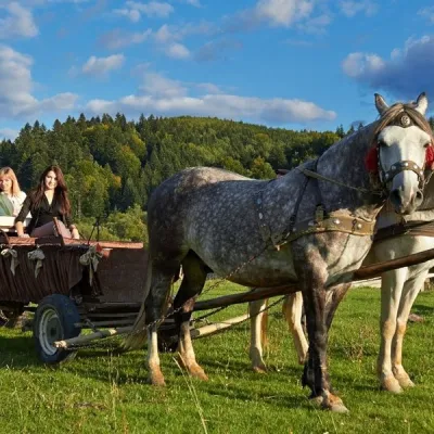 Horse ridingHorse Trails from Kamianyi Dvir Cottage, YaremcheYaremche3.3 km from Mount Makovytsia, YaremcheBesides accommodation, the Kamianyi Dvir (“Stone Yard”) cottage on Hrushevskoho Street in Yaremche is known for its horse rides.
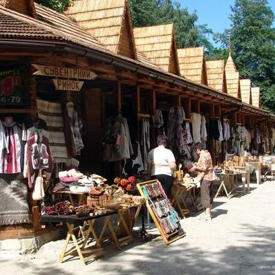 Markets & fairsHutsul souvenir market, YaremcheYaremche3.3 km from Mount Makovytsia, YaremcheYaremche is undoubtedly the center of Hutsul crafts, and everyone knows it. The Hutsuls are an ancient and at the same time interesting ethnic group of Ukrainians...
