Krupina – Čabraď
Trail map
Route, springs and shelters: © OpenStreetMap contributors (ODbL) · elevation: Copernicus DEM © DLR e.V., © Airbus DS · Data & licences
About the trail
Route Krupina – Čabraď. Has blue marking (regional route №2655, KST). Waymarking data: OpenStreetMap (© OpenStreetMap contributors, ODbL).
Officially marked regional tourist route No. 2655. Marking is blue, sign — horizontal stripe on a white background. Marked and maintained by: KST. Length of the route — 23.8 km. Location: mountain range — Štiavnické Mountains, Slovakia.
At a glance
A one-day route of 23.8 km with 453 m of ascent from Krupina to Čabraď. Estimated walking time: about 6.5 h, not counting stops. Difficulty: moderate. Waymarking: blue.
How we estimate walking time
By Naismith's rule, used by mountain clubs and guidebooks: an average hiker walks 4 km an hour on the flat and needs one more hour for every 600 m of ascent. For this trail: 23.8 km ÷ 4 = 5.9 h + 453 m ÷ 600 = 0.8 h, about 6.5 h of walking in total.
- Breaks, snacks and photos: add 20–30 %.
- A heavy pack, children, snow, a wet path or windfall add more; a long steep descent also takes time, especially for the knees.
- The height of the Carpathians (up to 2,655 m) hardly changes the pace — on the ridges wind, fog and weather slow you down.
- Limits: up to 9 h is one day; 9–13 h is a very long day or two; over 13 h means several days with overnight stays.
Route stages
- 0–20 kmGentle ups and downs at 250–370 m
- 20–24 kmDescent of 60 m to Čabraď
Steepest kilometre: km 7–8, a climb of 100 m (≈10%).
Water and overnight stays
Our map shows no springs near the trail — bring your own water (at least 3 l).
Huts and shelters near the trail: Hut below Žabinec (km 23).
When to go
The route can be walked most of the year; it is most comfortable from April to October.
Getting there
Start: Krupina. This is a one-way route: the finish is 13 km from the start in a straight line, so plan your way back in advance.
FAQ
- How long does the route take?
- Estimated walking time: about 6.5 h, not counting stops.
- Is there water on the route?
- Our map shows no springs near the trail — bring your own water (at least 3 l).
- Where can I stay overnight?
- Huts and shelters near the trail: Hut below Žabinec (km 23).
Water and shelter on the route
- Hut below Žabineckm 23.4 from the start · 200 m off the path · Not verified · 261 m
Comments and trail condition
Travellers’ experience: reports, tips, questions.
No one has reported on this trail yet. Been here lately? Tell others what it is like now.
Wildlife along the route
All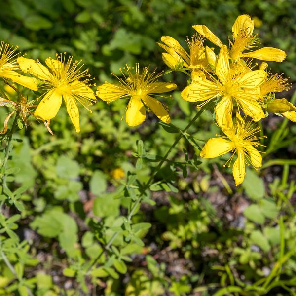
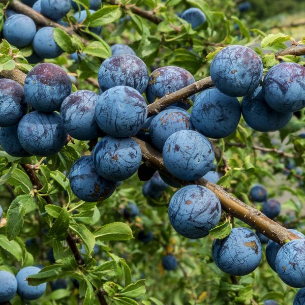
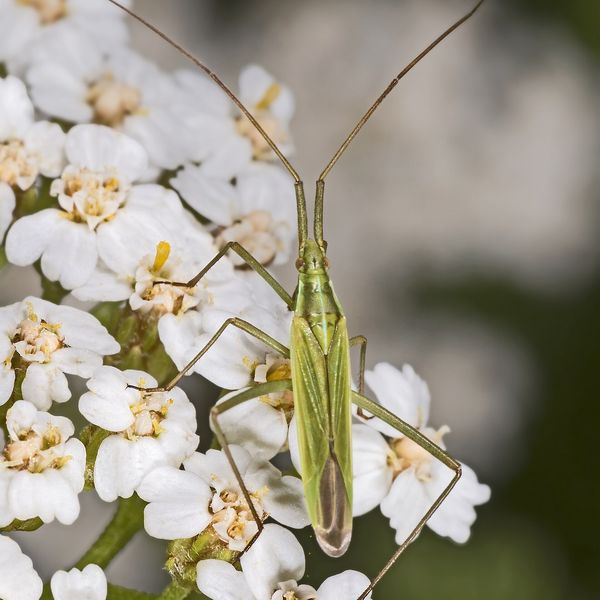
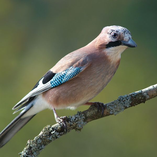
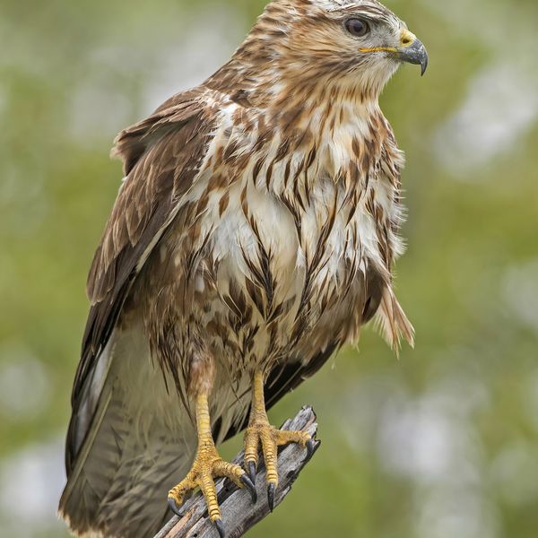
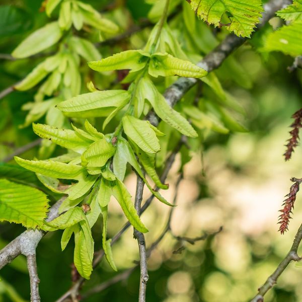
Based on naturalists’ records nearby (GBIF, iNaturalist), matched by altitude, habitat and season. Sightings are not guaranteed.
Trails nearby
All trails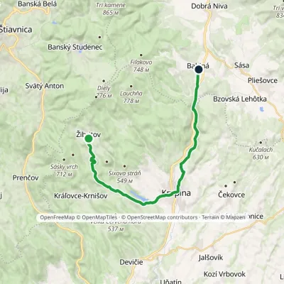 ModerateOne-dayMarkedBabiná ŽibritovElevation profile267–555 m20.7 kmascent 415 m≈ 6 h walking
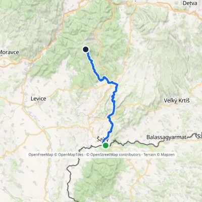 HardTwo-dayMarkedPočúvadlianske Lake Šahy, state borderElevation profile125–707 m60 kmascent 1 303 m
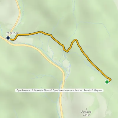 EasyOne-dayMarkedTepličky, forester's lodge Kohári's OakElevation profile254–398 m2.1 kmascent 5 m≈ 30 min walking
Craft nearby
All craft places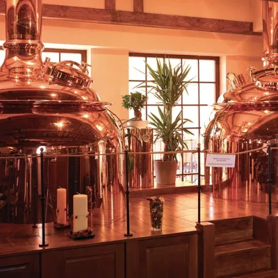 Craft beer & breweriesERB brewery in Banská Štiavnica: brewery tour and tastingBanská Štiavnica17 km from the trailBanská Štiavnica is an old mining town in the caldera of an extinct volcano and a UNESCO World Heritage site.
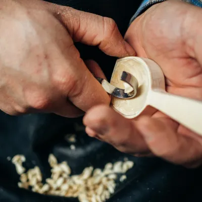 Crafts & workshopsDo dielne, Počúvadlo: woodcarving courses near Banská ŠtiavnicaPočúvadlo17 km from the trailHere, in the quiet among the hills, works the small workshop Do dielne (“To the workshop”). Its owner Dušan Budinský ran a hairdresser’s in Bratislava for eight years,...
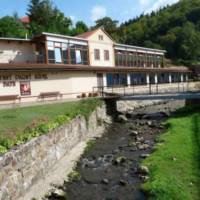 Water parks & thermal poolsSklené Teplice: Parenica cave steam bath and thermal bathsSklené Teplice24 km from the trailSklené Teplice is a small spa in a wooded valley of the Štiavnické vrchy hills, a few kilometres from the Hron valley and about 8 km from Banská Štiavnica.
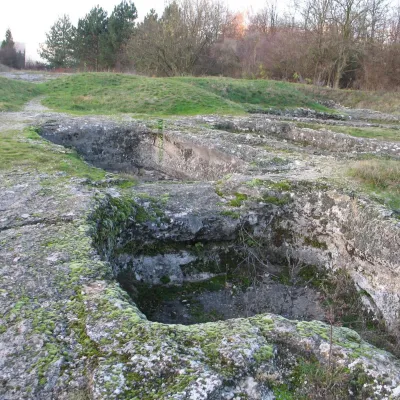 Water parks & thermal poolsDudince spa: carbon dioxide–sulphur water and the Roman BathsDudince25 km from the trailDudince is the smallest town in Slovakia (about 1,400 inhabitants) and the southernmost Slovak spa. It lies at 144 m in the valley of the Štiavnica stream, where the...
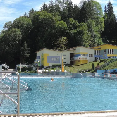 Water parks & thermal poolsVodný raj thermal pools in VyhneVyhne26 km from the trailVodný raj Vyhne ("Water Paradise") is a public pool complex with thermal water in the village of Vyhne, in a quiet wooded valley of the Štiavnické vrchy hills near the...
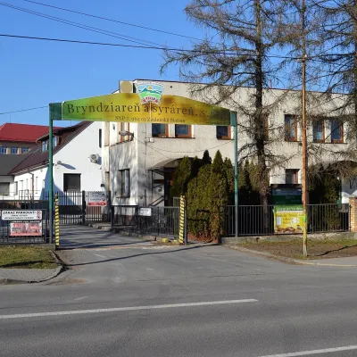 Cheese dairies & pasturesZvolenská Slatina bryndza dairy: the oldest, since 1797Zvolenská Slatina27 km from the trailBryndza with more than 220 years behind it Zvolenská Slatina is a large village in the Podpoľanie region, a few kilometres from Zvolen, at the foot of the volcanic...
