Eurasian jay
About
The Eurasian jay is one of the most vibrant birds of the Carpathian forest. In Ukraine, it is settled in Polissia, the Forest-Steppe, the Carpathians, and Crimea, while in winter it migrates to steppe regions. The Eurasian jay prefers deciduous and mixed forests, especially those with oak, but it can also be found in coniferous forests, young growths, parks, and gardens. In the Polish mountains, it has been encountered up to an altitude of 1400 m.
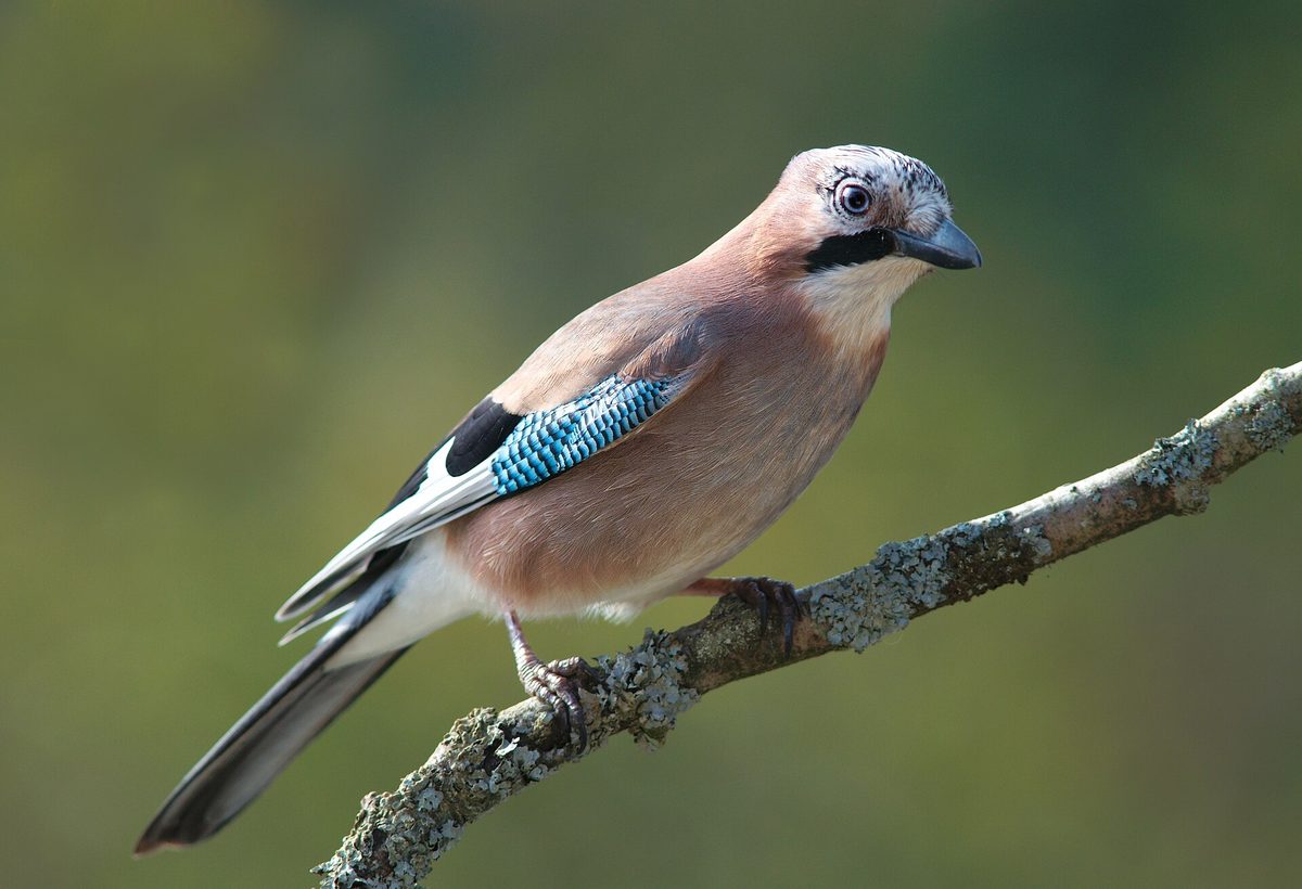
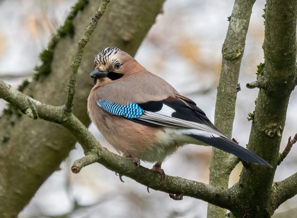
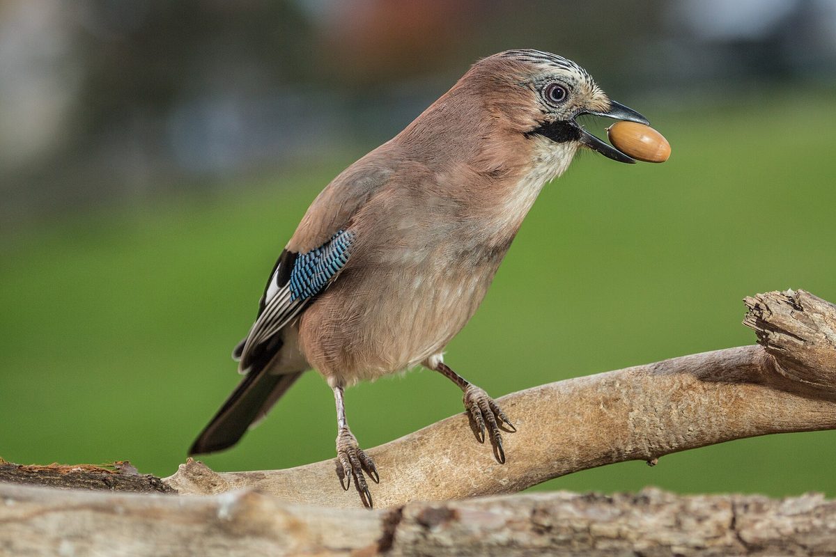
The bird is about 34 cm long and weighs 147–196 g. Its body is pink-brown, with a mottled crest on its head, a black 'moustache' running down from the beak, and black-and-white wings featuring a bright blue 'mirror' with a thin black stripe. In flight, its white undertail and black tail are clearly visible. Blue feathers of the Eurasian jay are often found on forest paths.
The voice of the Eurasian jay is a sharp creaky call, and it is most often recognized by this sound. The Eurasian jay is rightly called the guardian of the forest: it signals forest inhabitants about the presence of humans much earlier than a person notices the jay itself.
The Eurasian jay is omnivorous, but over time, its diet increasingly consists of plant food: acorns, beech and forest nuts, and berries. When acorns ripen, jays hide them for winter, and in winter, they dig them out from under the snow. Some acorns remain in hiding until spring, from which young oaks grow. The Eurasian jay is not listed in the Red Book of Ukraine.
Where in the Carpathians

The map shows where naturalists recorded the species (GBIF, CC0 and CC BY records), not every place it lives. The Ukrainian Carpathians are less studied, so a blank area does not mean the species is absent.
- Countries
- Slovakia · Poland · Czechia · Romania · Hungary · Ukraine · Serbia · Austria · BG
- Mountain ranges
- Börzsöny and Cserhát, Moravian-Silesian Beskids, Volovec Mountains, Western Tatras, Bükk, Skole Beskids, Bucegi Mountains, Piatra Craiului, High Tatras, Silesian Beskids
- Altitude belts
- Foothills (below 600 m) · Beech forests (600–1200 m)
When to see it
| Jan | Feb | Mar | Apr | May | Jun | Jul | Aug | Sep | Oct | Nov | Dec | |
|---|---|---|---|---|---|---|---|---|---|---|---|---|
| Sightings |
From naturalists’ observations in the Carpathians (iNaturalist, research grade): the darker the cell, the more often the species is seen that month.
Protection and rules
Not listed in the Red Book of Ukraine.
FAQ
Whose blue feather is lying on the path?
Most likely from the Eurasian jay: its wings have a bright blue 'mirror' with a thin black stripe.
Why is the Eurasian jay called the guardian of the forest?
Upon noticing a human or predator, it loudly creaks, and this alarm signal is understood by other forest inhabitants.
Similar species
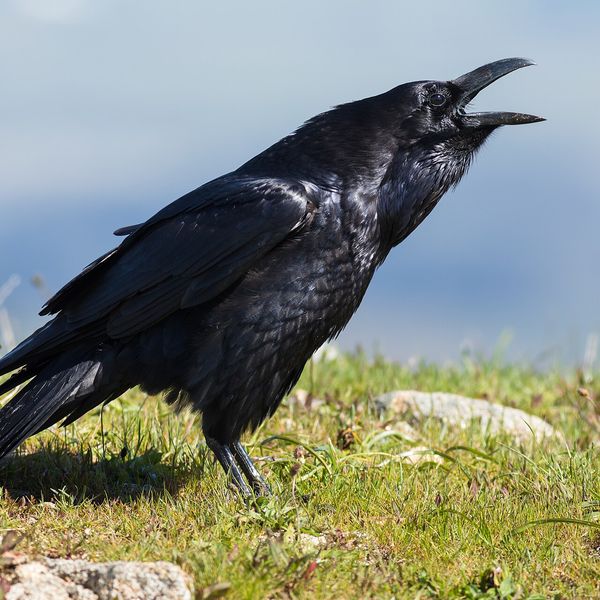
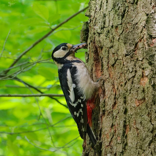
Where to meet it
Trails
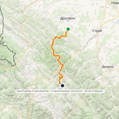 HardMulti-dayMarkedNo. 504 Truskavets SlavskoElevation profile349–1 168 m88.5 kmascent 4 090 m
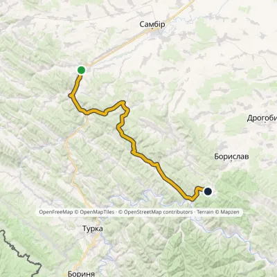 HardMulti-dayMarkedNo. 503-1 Staryi Sambir SkhidnytsiaElevation profile340–826 m57 kmascent 1 054 m
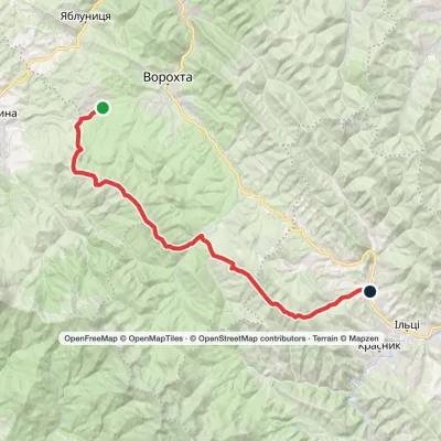 HardMulti-dayMarkedVoronenko village to Staishche villagevia Mount KukulElevation profile698–1 586 m31.1 kmascent 1 667 m≈ 11 h walking
 HardMulti-dayDubyna village to Tukhlia villagevia Kamianka Waterfall, Mount Lopata +1Elevation profile418–1 233 m38.8 kmascent 1 600 m≈ 13 h walking
 HardMulti-dayTukhlia village to Skolevia Mount Kindrat, Mount Matahiv +2Elevation profile445–1 265 m29.6 kmascent 1 569 m≈ 10.5 h walking
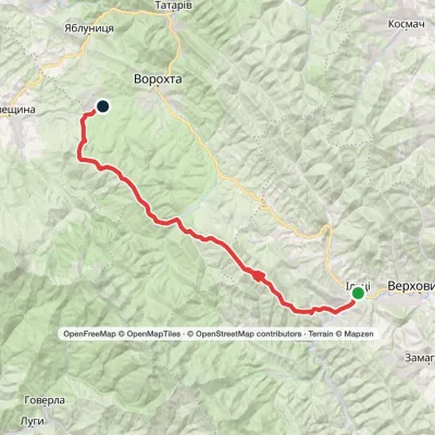 HardMulti-dayKrasnyk village to Voronenko villagevia Kostrych ridge, Mount KukulElevation profile637–1 586 m39.2 kmascent 1 893 m≈ 13.5 h walking
 ModerateTwo-dayHrebeniv village to Skolevia Mount Kudriavets, Mount LopataElevation profile437–1 242 m18 kmascent 780 m≈ 6 h walking
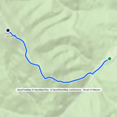 EasyOne-dayMarkedHoverla checkpoint (Zavoiela) Mount KukulElevation profile900–1 539 m4.8 kmascent 639 m≈ 2.5 h walking
 ModerateTwo-dayHrebeniv village to Skolevia Kudriavets village, Lopata villageElevation profile437–1 242 m16.9 kmascent 779 m≈ 6 h walking
 HardMulti-dayIltsi village to Voronenko villagevia Mount KukulElevation profile637–1 586 m45.8 kmascent 1 957 m
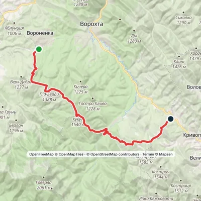 HardMulti-dayVoronenko village to Kryvopillia villagevia Mount KukulElevation profile868–1 539 m26.9 kmascent 1 284 m≈ 9.5 h walking
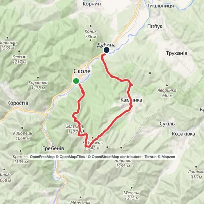 HardMulti-daySkole to Dubyna villagevia Mount Lopata, Kamianka WaterfallElevation profile418–1 211 m25.7 kmascent 986 m≈ 8.5 h walking
Peaks and meadows
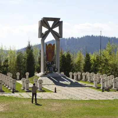 PeakMount MakivkaSlavskealtitude 958 m2 trails to the topMakivka is a mountain in the High Beskid about 8 km north of the town of Slavske in Lviv Oblast.
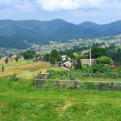 PeakMount OseredokVorokhtaaltitude 915 m · Chornohora range1 trail to the topOseredok is a modest 915 m summit right above Vorokhta (about 2 km), north of the Chornohora range, in Ivano...
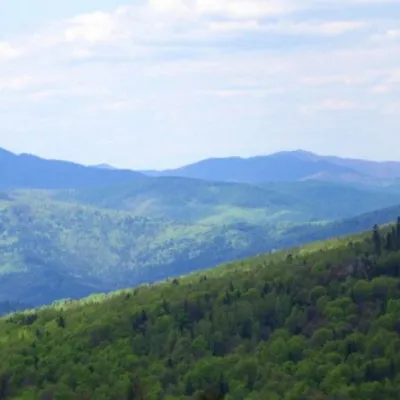 PeakMount KlyuchKamiankaaltitude 927 m · Skole Beskids range2 trails to the topMount Klyuch is one of the peaks of the ridge in the Skole Beskydy, which starts from the Sukel River (Bukivets...
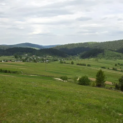 PeakMount RozluchRozluchaltitude 933 m1 trail to the topRozluch is a 933 m mountain in the Upper Dniester Beskids, the highest point of the Rozluch ridge.
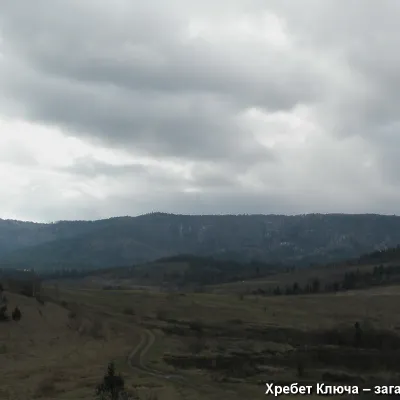 PeakMount YavorinkaTrukhanivaltitude 940 m3 trails to the topThe top of Mount Yavorinka is 940 meters above sea level. Mount Yavorinka is the highest peak of the Klyucha ridge,...
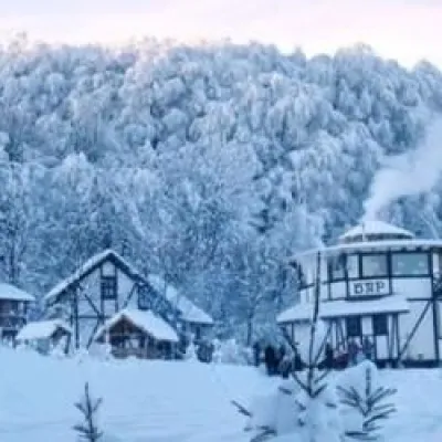 PeakMount TsetsynoChernivtsialtitude 537 mTsetsyno is the highest hill of the Chernivtsi Upland, 537 m high (538 m according to other data).
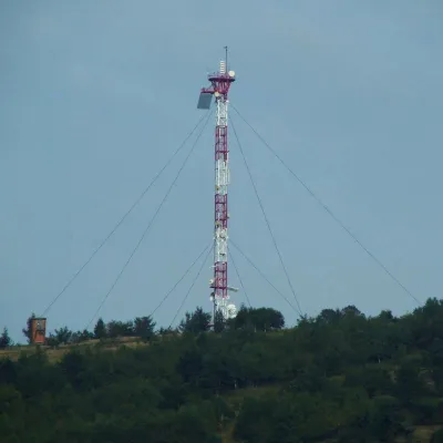 PeakMount Horodyshche (Boryslav)Boryslavaltitude 646 mHorodyshche (646 m; other sources give 641.8 m) is a hill in the Upper Dniester Beskids and the highest point of the...
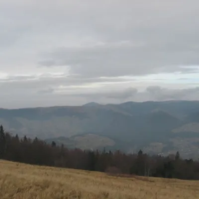 Mountain meadow1 136 mPolonyna BorsuchynaVorokhtaPolonyna Borsuchyna is located in Vorokhta, Ivano-Frankivsk region, at an altitude of 1136 meters in the Carpathians.
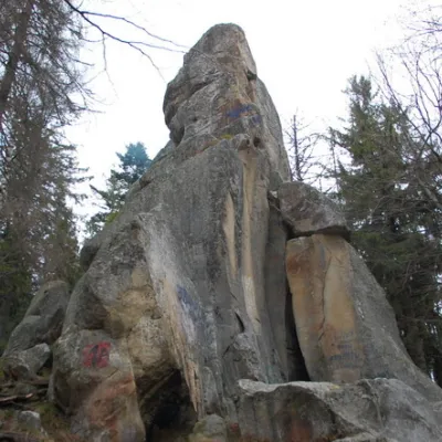 PeakWhite Stone RockDoraaltitude 538 m7 trails to the topThe White Stone Rock is located in the village of Dora in the Carpathians and is one of the most prominent natural...
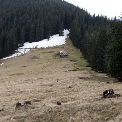 Mountain meadow1 150 mPolonyna Bukovyna (Kukul Ridge)VoronenkoPolonyna Bukovyna, often called Bukovynka, lies on the north-western section of the Kukul ridge, south of Vorokhta...
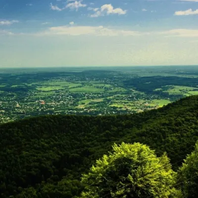 PeakMount Mykhalkova (Kosiv)Kosivaltitude 812 m2 trails to the topMount Mykhalkova (Mykhalkiv), with a height of 812 meters, is part of the Pokuttya Carpathians.
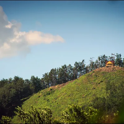 PeakMount Ostry (Ostra)Kosivaltitude 584 m2 trails to the topThe mountain offers wonderful views of the entire Kosiv. The descent is steep, and autumn is magical here.
Waters and waterfalls
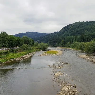 RiverOpir RiverSkoleThe Opir is a 58-km mountain river of the Skole Beskids. It rises on the eastern slope of Mount Velykyi Yavirnyk,...
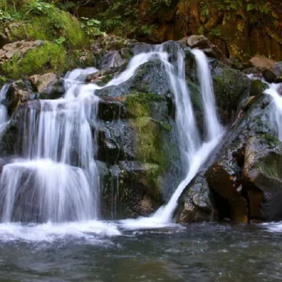 WaterfallKamianka waterfallDubyna"Kamianka Waterfall or Kamianka Waterfall is the most famous waterfall located on the mountain river of the same name...
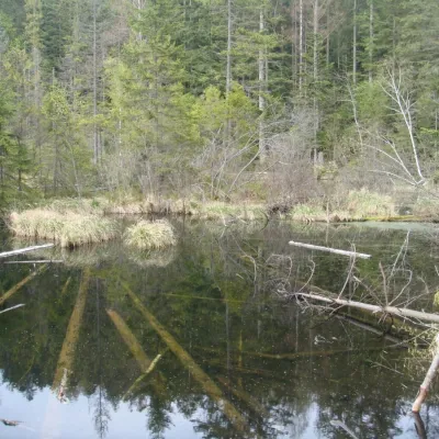 LakeLake Zhuravlyne (Dead Lake)KamiankaThere is one mysterious place in the Skole Beskydy National Nature Park - Zhuravlyne Lake, also called Dead Lake.
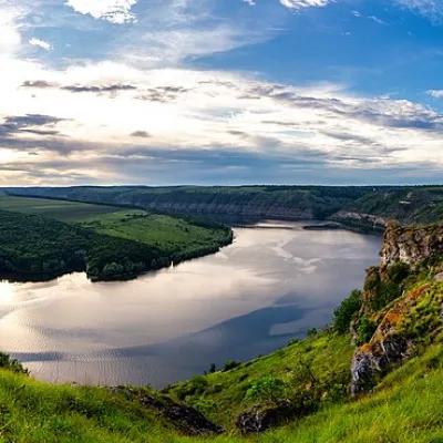 RiverDniesterVovcheThe Dniester is one of the most famous and largest rivers in Ukraine. The Dniester has been used as an important...
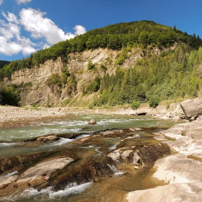 RiverCheremosh RiverVyzhnytsiaThe Cheremosh is born near Usteriky, where the Chornyi Cheremosh and the Bilyi Cheremosh meet.
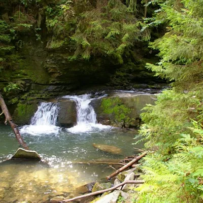 WaterfallWaterfall Maiden's Tears, YaremcheYaremcheMaiden's Tears is a waterfall in the Ukrainian Carpathians (Gorgany massif).
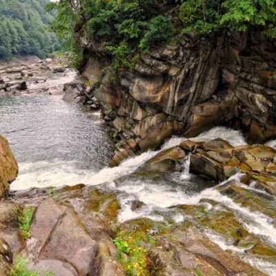 WaterfallProbiy waterfall, YaremcheYaremcheProbiy Waterfall is located in the heart of the Carpathian Mountains, in the city of Yaremche.
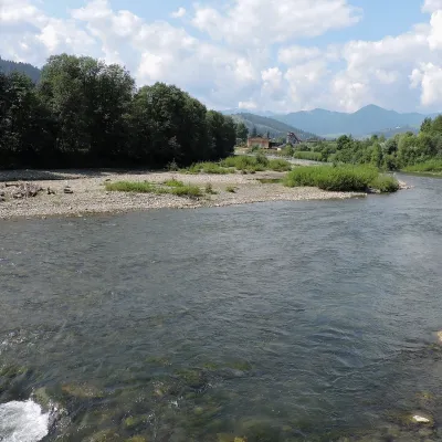 RiverChornyi Cheremosh RiverVerkhovynaThe Chornyi Cheremosh rises south-east of Burkut on the slopes of the Chyvchyn Mountains, the most remote corner of...
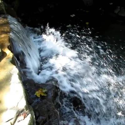 WaterfallBagrovetsky waterfallYaremcheBagrovetsky Waterfall is one of the most famous waterfalls in the Yaremche region, located in the city of Yaremche.
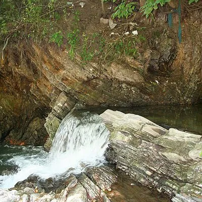 WaterfallBoryslav waterfallBoryslavThe Young Boryslav Waterfall is a small waterfall (falling height is about two meters).
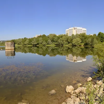 LakeTruskavets ReservoirTruskavetsTruskavets Reservoir, known locally as Lake Solonytsia, lies on the south-eastern edge of Truskavets, next to the...
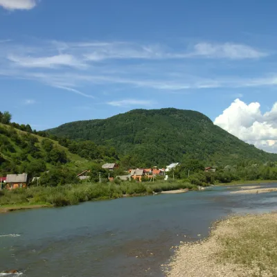 RiverRika RiverMizhhiriaThe Rika rises near the village of Torun on the south-western slopes of the Verkhovyna Range, where the Pryslip and...
Mountain ranges: Skole Beskids, Bieszczady. In other countries: 🇭🇺 Börzsöny and Cserhát, 🇨🇿 Moravian-Silesian Beskids, 🇸🇰 Volovec Mountains, 🇸🇰 Western Tatras, 🇭🇺 Bükk, 🇷🇴 Bucegi Mountains, 🇷🇴 Piatra Craiului, 🇸🇰 High Tatras, 🇵🇱 Silesian Beskids, 🇸🇰 Slovak Ore Mountains, 🇵🇱 Żywiec Beskids, 🇸🇰 Slovak Central Mountains
Trails and peaks near which naturalists recorded the species (GBIF, iNaturalist), matched by altitude and habitat. Sightings are not guaranteed.
Sources
- Вікіпедія: Сойка звичайна
- Wikipedia (en): Eurasian jay
- Wikipedia (pl): Sójka (zwyczajna)
- Перелік видів тварин, що заносяться до Червоної книги України (наказ Міндовкілля від 19.01.2021 № 29, зареєстровано в Мін'юсті 01.03.2021 за № 260/35882)
- Міндовкілля: текст переліку видів тварин Червоної книги України (PDF)
- GBIF: таксон і категорія МСОП
GBIF · iNaturalist · Wikidata · Distribution data: GBIF.org (CC0 and CC BY records), iNaturalist; names and identifiers: Wikidata (CC0). Text: Karpaty.rocks, checked 09.11.2026.
