Red-berried elder
Never eat berries you are not sure about and never give unknown berries to children. In case of poisoning call 112 (103 in Ukraine).
About
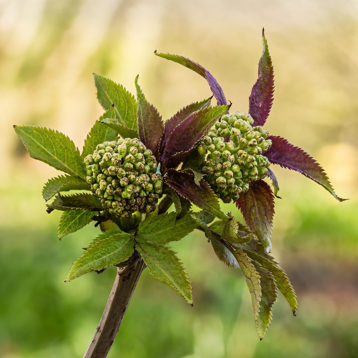
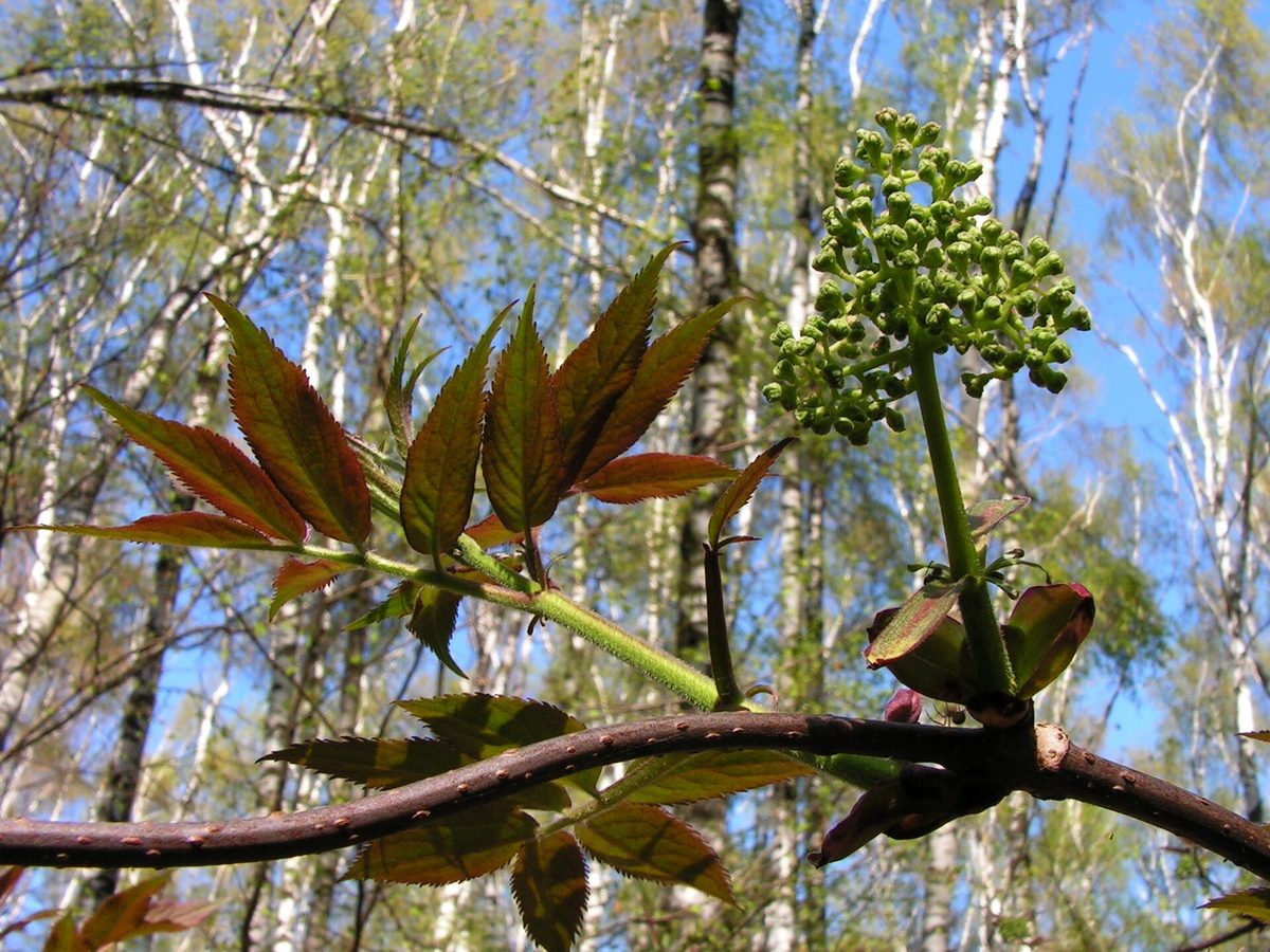
Red-berried elder is a deciduous bush 2–4 m tall, common in the Carpathians and Precarpathians. It grows in forests, among shrubs, and even on rocks. In spring, the bush is easily recognizable by its dense conical inflorescences 3–6 cm of small white, cream, or yellowish flowers; the buds are pink.
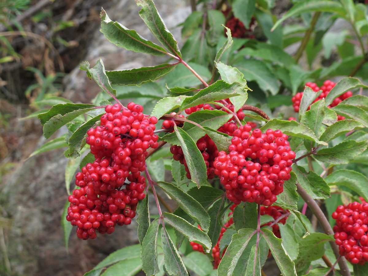
It blooms in May — June, and by August — September, it bears dense clusters of small shiny red drupes, each with several seeds. The leaves are opposite and pinnate. The shoots are soft with a wide pith. Birds eagerly eat the berries and disperse the seeds, and the clusters typically remain on the bush for about a month and a half.
The stems, leaves, and roots of the plant are poisonous, and raw berries can cause nausea, vomiting, and other signs of poisoning. The seeds are particularly dangerous. Some sources mention that the berries were eaten after cooking, but due to varying data on safety, we do not recommend collecting red-berried elder for food. The red clusters along the trail are especially attractive to children — explain to them that these berries are not edible.
Do not confuse red-berried elder with rowan: rowan berries are orange-red, gathered in flat clusters, while the leaves are alternate. It differs from herbaceous elder by its woody stem and berry color. For birds, its berries are a noticeable summer food source.
Where in the Carpathians

The map shows where naturalists recorded the species (GBIF, CC0 and CC BY records), not every place it lives. The Ukrainian Carpathians are less studied, so a blank area does not mean the species is absent.
- Countries
- Slovakia · Czechia · Poland · Ukraine · Romania
- Mountain ranges
- Slovak Ore Mountains, Western Tatras, Volovec Mountains, Moravian-Silesian Beskids, High Tatras, Low Tatras, Belianske Tatras, Slovak Central Mountains, Greater Fatra, Strážov Mountains
- Altitude belts
- Foothills (below 600 m) · Beech forests (600–1200 m) · Conifer forests (1200–1600 m)
When to see it
| Jan | Feb | Mar | Apr | May | Jun | Jul | Aug | Sep | Oct | Nov | Dec | |
|---|---|---|---|---|---|---|---|---|---|---|---|---|
| Flowering | ||||||||||||
| Fruit |
From naturalists’ observations in the Carpathians (iNaturalist, research grade): the darker the cell, the more often the species is seen that month.
Safety
Raw berries, especially seeds, are poisonous; leaves, stems, and roots are also. Do not collect berries for food. Do not give unfamiliar berries to children. In case of suspected poisoning, call 103 (or 112).
Look-alikes — how to tell them apart
Berries are orange-red, in flat wide clusters, not in dense conical clusters; leaves are alternate. Edible only after frost and processing.
Leaves are entire, three-lobed, like those of maple, not pinnate; berries are larger, with one flat stone, ripening in autumn.
Protection and rules
Not protected.
FAQ
Can you eat red-berried elder?
No, we do not recommend it. Raw berries and seeds are poisonous, and data on safety even after cooking varies.
How to distinguish red-berried elder from rowan?
In red-berried elder, the berries are in dense conical clusters and the leaves are opposite. In rowan, the berries are orange-red in flat clusters, and the leaves are alternate.
Similar species
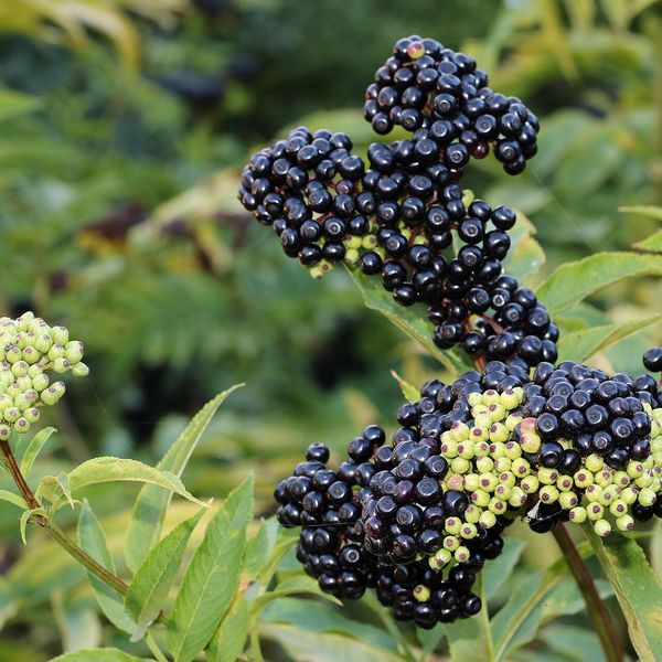
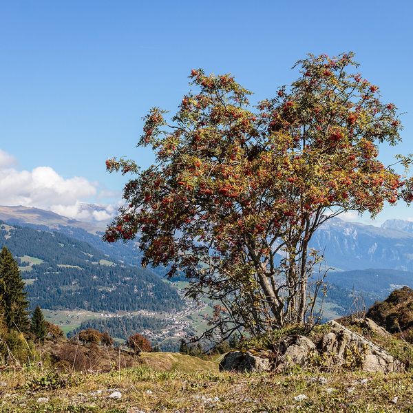
Where to meet it
Trails
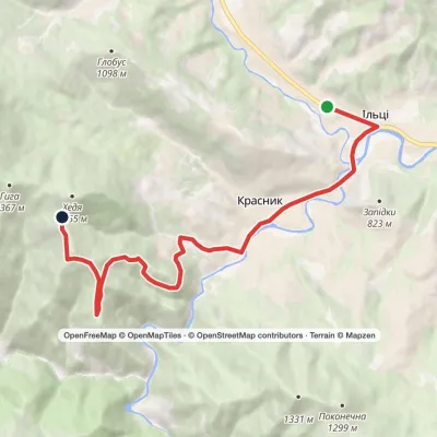 ModerateOne-dayIltsi village Vesnarka polonynaElevation profile636–1 262 m9.8 kmascent 656 m≈ 4 h walking
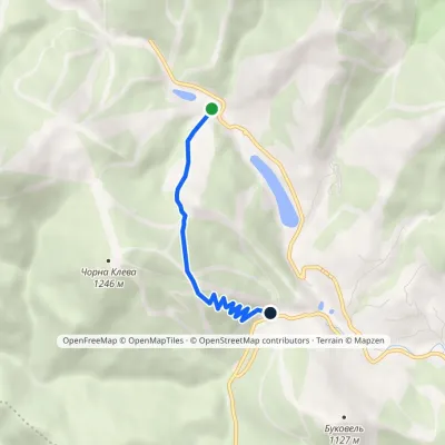 EasyOne-dayMarkedBukovel: «Parkovyi» trailElevation profile901–1 168 m3.1 kmascent 232 m≈ 1 h walking
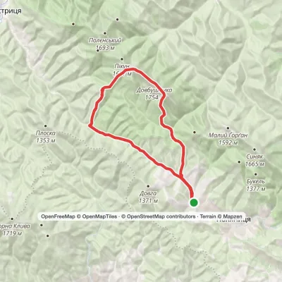 HardMulti-dayPolianytsia village loopvia Mount Dovbushanka, Mount VedmezhykElevation profile891–1 754 m24.3 kmascent 1 289 m≈ 8.5 h walking
 HardTwo-dayPolianytsia village loopvia Mount DovbushankaElevation profile894–1 754 m22.3 kmascent 1 419 m≈ 8.5 h walking
 ModerateOne-dayPolianytsia village Mount DovbushankaElevation profile887–1 754 m13.4 kmascent 1 061 m≈ 5.5 h walking
 HardTwo-dayPolianytsia village loopvia Mount Dovbushanka, Mount VedmezhykElevation profile897–1 754 m20.5 kmascent 1 202 m≈ 7.5 h walking
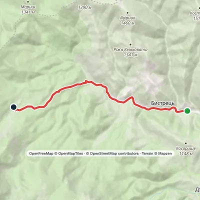 EasyOne-dayBystrets village Hadzhyna polonynaElevation profile778–1 219 m7.9 kmascent 440 m≈ 3 h walking
 ModerateOne-dayPolianytsia village Mount DovbushankaElevation profile909–1 754 m10.2 kmascent 1 031 m≈ 4.5 h walking
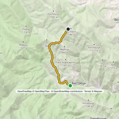 ModerateTwo-dayMarkedBystrets village Mount Kostrychvia Psarivka polonynaElevation profile816–1 516 m15 kmascent 732 m≈ 5 h walking
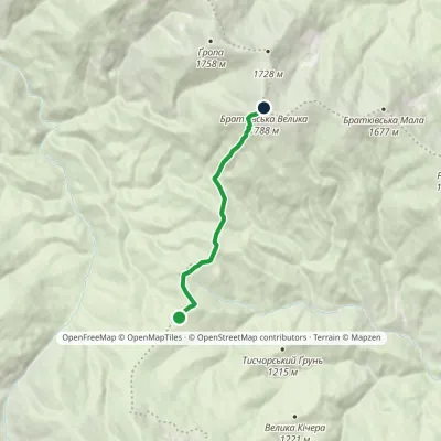 EasyOne-dayMarkedOkole Mount Velyka BratkivskaElevation profile1 195–1 788 m5.2 kmascent 632 m≈ 2.5 h walking
 ModerateOne-dayMount Dovbushanka Polianytsia villageElevation profile900–1 703 m12.2 kmascent 250 m≈ 3.5 h walking
 ModerateTwo-daySkole loopvia Mount Lopata, Mount Kudriavets +1Elevation profile437–1 242 m20.9 kmascent 894 m≈ 7 h walking
Peaks and meadows
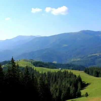 Mountain meadowPolonyna Psarivka, BystretsVerkhovynaUkrainians, for example, call such meadows polonyny. Today we will talk about the Psarivka meadow.
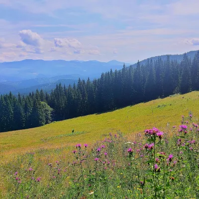 PeakMount Kychera (Vorokhta)Vorokhtaaltitude 1 225 m · Chornohora rangeKychera is a 1,225 m summit north of the Chornohora range, in Ivano-Frankivsk Oblast.
 PeakMount MakovytsiaTurya Pasikaaltitude 978 m · Volcanic Carpathians rangeMount Makovytsia is a gem of the western lands, with amazing landscapes, fairy-tale views, nature, air, and...
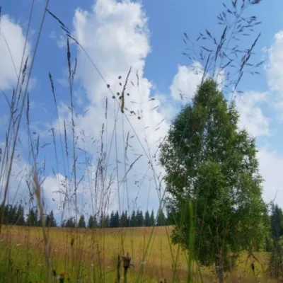 Mountain meadow1 184 mPolonyna ShuvarenkoNadvirna districtShuvarenko Polonyna is a high mountain meadow in the Ukrainian Carpathians, located in Ivano-Frankivsk region near...
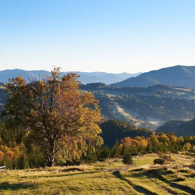 Mountain meadow1 200 mPolonyna SmotrychDzembroniaSmotrych Polonyna is a summer mountain pasture on the north-eastern spur of Mount Smotrych (1,898 m) in the...
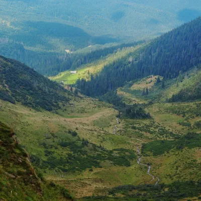 Mountain meadow1 200 mPolonyna ApshynetsChorna TysaApshynets polonyna (Apshyniaska) is a pasture in the upper reaches of the Apshynets stream on the northern slopes of...
Mountain ranges: In other countries: 🇸🇰 Slovak Ore Mountains, 🇸🇰 Western Tatras, 🇸🇰 Volovec Mountains, 🇨🇿 Moravian-Silesian Beskids, 🇸🇰 High Tatras, 🇸🇰 Low Tatras, 🇸🇰 Belianske Tatras, 🇸🇰 Slovak Central Mountains, 🇸🇰 Greater Fatra, 🇸🇰 Strážov Mountains, 🇸🇰 Vihorlat Mountains, 🇸🇰 Lesser Fatra, 🇸🇰 Spiš Magura, 🇸🇰 Skorušina Mountains
Trails and peaks near which naturalists recorded the species (GBIF, iNaturalist), matched by altitude and habitat. Sightings are not guaranteed.
Sources
- Вікіпедія: Бузина червона
- Wikipedia (en): Sambucus racemosa
- Wikipedia (en): Sorbus aucuparia
- iNaturalist: Sambucus racemosa (спостереження в Карпатах)
GBIF · iNaturalist · Wikidata · Distribution data: GBIF.org (CC0 and CC BY records), iNaturalist; names and identifiers: Wikidata (CC0). Text: Karpaty.rocks, checked 09.11.2026.
