Guelder rose
Never eat berries you are not sure about and never give unknown berries to children. In case of poisoning call 112 (103 in Ukraine).
About
Guelder rose is widespread almost throughout Ukraine, particularly in the Carpathians and Transcarpathia. It is a tall, branched bush 2–4 m high with gray bark, growing in the understory of deciduous and mixed forests, along riverbanks and streams, in moist forest edges. It is shade-tolerant but loves moisture, so it feels best in lowlands and near water.
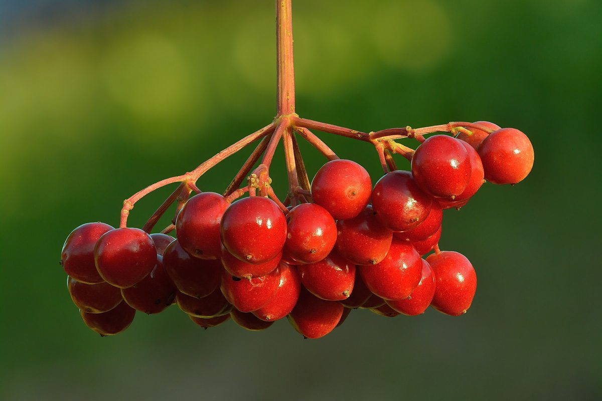
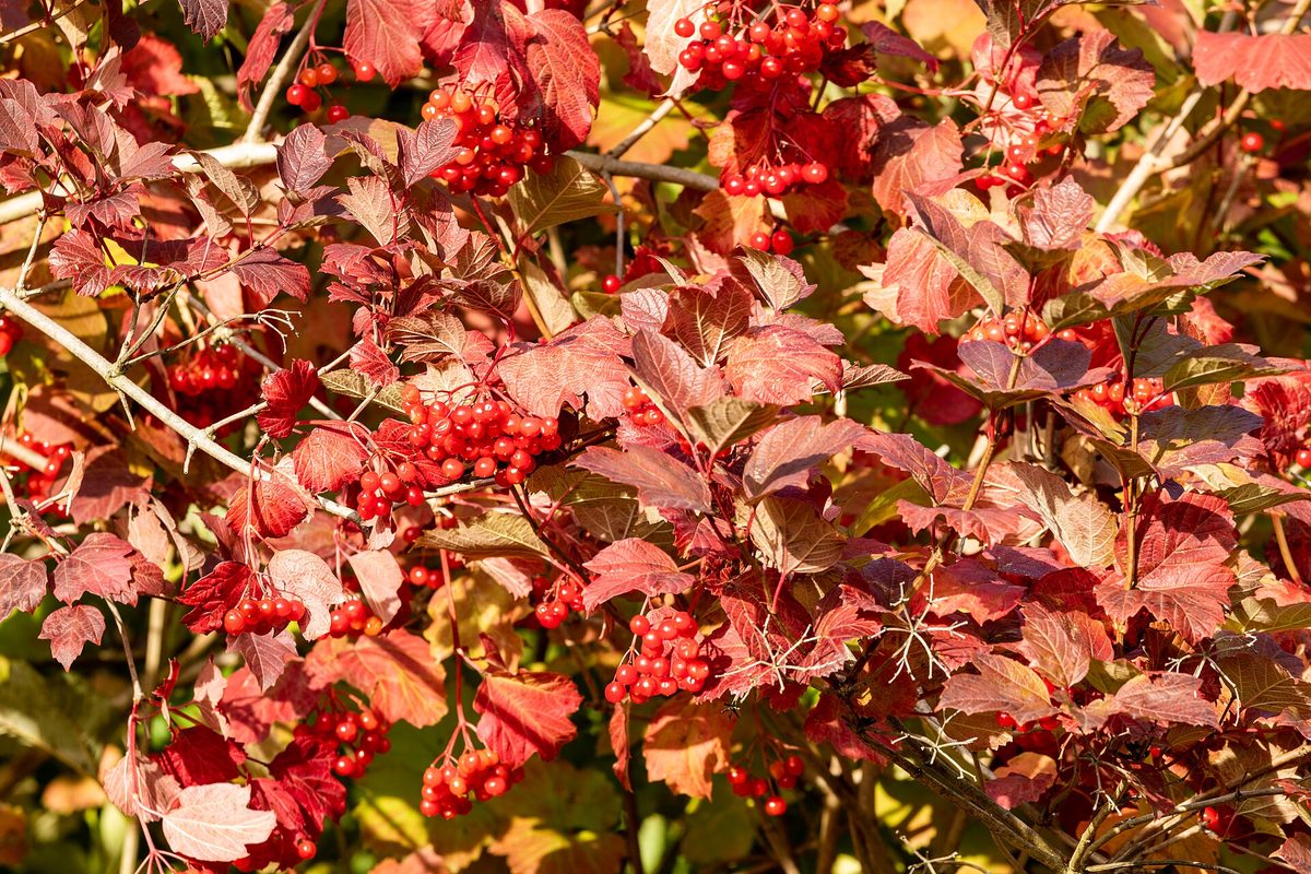
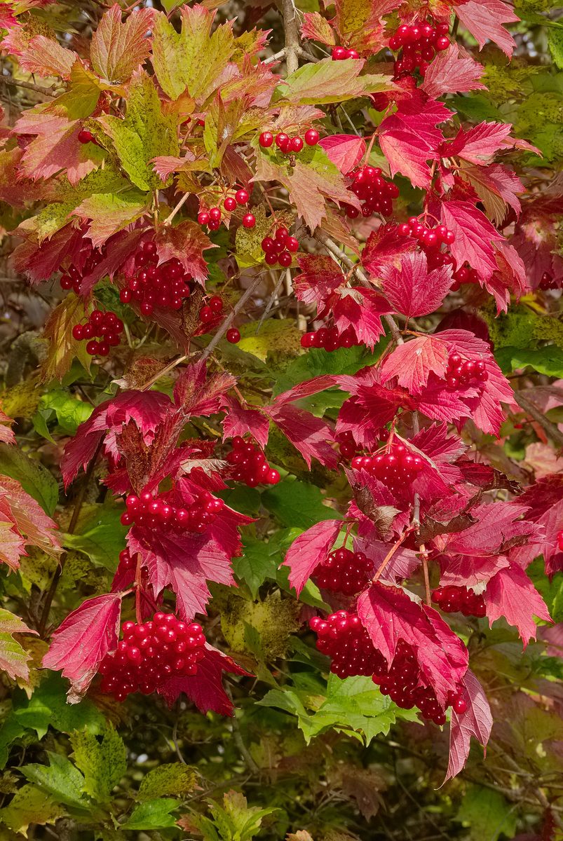
The leaves of Guelder rose are trilobate, resembling maple leaves. It blooms in May — June: flat inflorescences 4–11 cm in diameter open at the ends of the branches. Large white sterile flowers sit around the edge of the inflorescence, attracting insects, while small fertile ones are in the center. The berries are red juicy drupes with one flat stone, ripening in September and long-lasting on the branches, decorating the bush even in winter.
Raw berries are very bitter and sour, and in larger quantities can cause vomiting or diarrhea. Therefore, they are traditionally harvested after frost and processed: made into jams, jellies, or added to baked goods. Raw Guelder rose should not be eaten in large quantities, especially by children.
For Ukrainians, Guelder rose is much more than a berry bush. It adorned wedding loaves, is mentioned in rituals and hundreds of folk songs, and the red clusters have become a symbol of the native land, love, and memory of the fallen. Alongside Guelder rose, another species grows in Ukraine — the black-fruited viburnum, which has entire wrinkled leaves.
Where in the Carpathians

The map shows where naturalists recorded the species (GBIF, CC0 and CC BY records), not every place it lives. The Ukrainian Carpathians are less studied, so a blank area does not mean the species is absent.
- Countries
- Slovakia · Czechia · Ukraine · Poland · Romania · Austria · Hungary
- Mountain ranges
- Strážov Mountains, White Carpathians, Lesser Fatra, Slovak Ore Mountains, Greater Fatra, Volovec Mountains, Low Tatras, Kysuce Beskids, Kremnica Mountains, Moravian-Silesian Beskids
- Altitude belts
- Foothills (below 600 m) · Beech forests (600–1200 m)
When to see it
| Jan | Feb | Mar | Apr | May | Jun | Jul | Aug | Sep | Oct | Nov | Dec | |
|---|---|---|---|---|---|---|---|---|---|---|---|---|
| Flowering | ||||||||||||
| Fruit |
From naturalists’ observations in the Carpathians (iNaturalist, research grade): the darker the cell, the more often the species is seen that month.
Safety
Raw berries are bitter and in large quantities can cause vomiting or diarrhea; they are consumed after processing. Do not give raw berries in handfuls to children.
Look-alikes — how to tell them apart
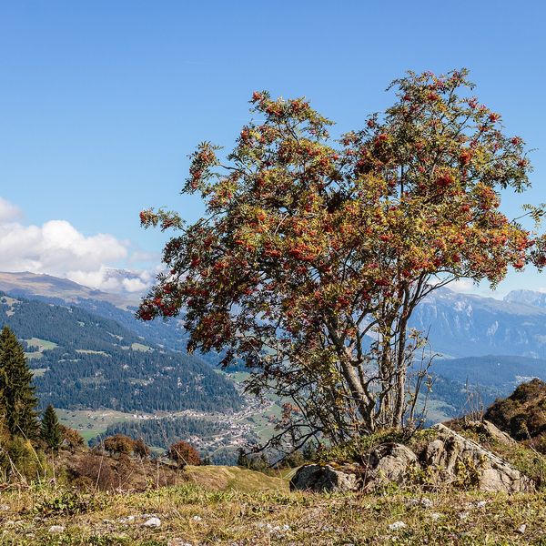
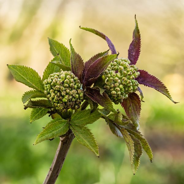
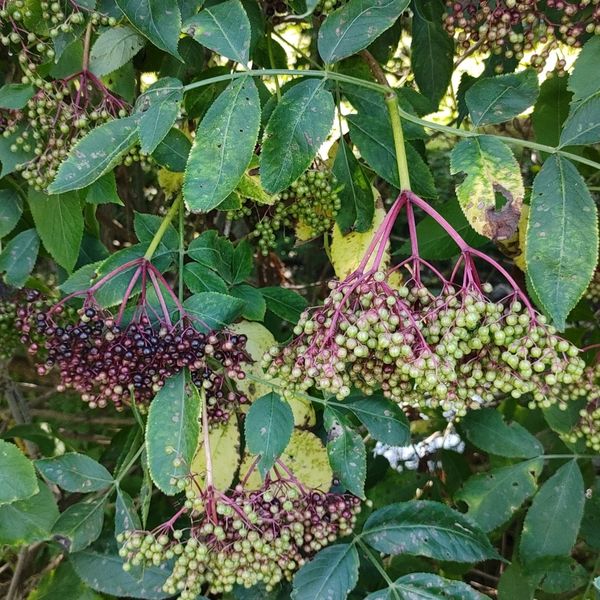
Leaves are pinnate, not trilobate; small red berries are gathered in dense conical clusters and ripen in summer.
Leaves are pinnate, berries are orange-red, smaller, with several seeds, not with one flat stone.
In folk tradition
Berries are traditionally harvested after frost and made into jams, jellies, or fillings for baked goods.
Protection and rules
Not protected. For personal use, berries can be collected in state and communal forests; in reserves and protected areas of national parks — prohibited.
FAQ
When to harvest Guelder rose?
Berries ripen in September, but they are traditionally harvested after the first frosts when the bitterness becomes milder.
Can Guelder rose be eaten raw?
A small amount can be eaten, but raw berries are very bitter, and in large quantities can cause digestive upset. Guelder rose is usually processed.
Similar species
Where to meet it
Trails
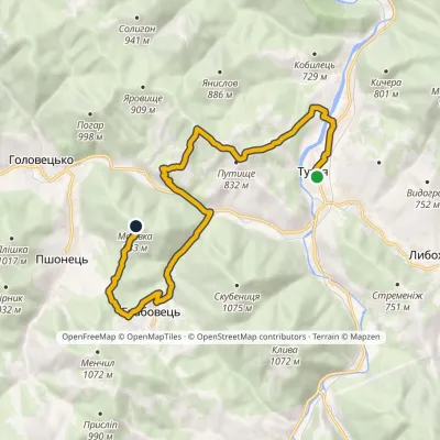 ModerateOne-dayMarkedNo. 5014 «To Zakhar Berkut»: Tukhlia Mount MakivkaElevation profile525–958 m14.4 kmascent 743 m≈ 5 h walking
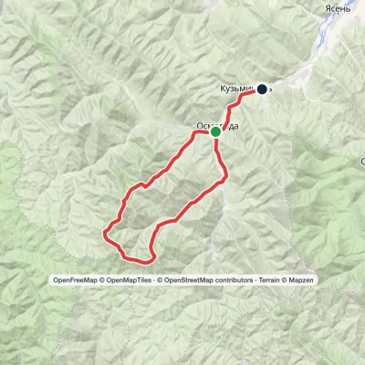 HardMulti-dayMarkedOsmoloda village loopvia Plistse polonyna, Mount Koretvyna +2Elevation profile652–1 740 m42.6 kmascent 1 717 m
 ModerateOne-dayMarkedOsmoloda village loopvia Mount GrofaElevation profile815–1 748 m13.4 kmascent 945 m≈ 5 h walking
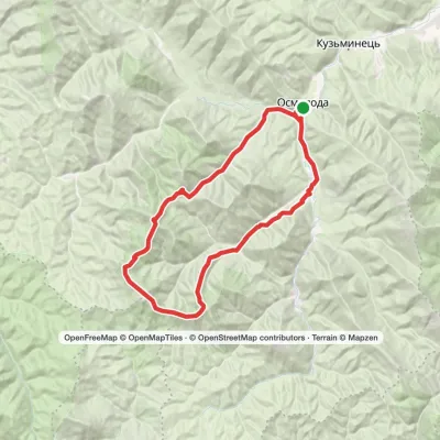 HardMulti-dayMarkedOsmoloda village loopvia Mount Koretvyna, Mount Mala Popadia +1Elevation profile715–1 734 m44.3 kmascent 1 863 m
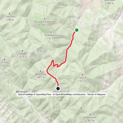 ModerateOne-dayKosmach village Mount RotyloElevation profile787–1 483 m9.6 kmascent 750 m≈ 4 h walking
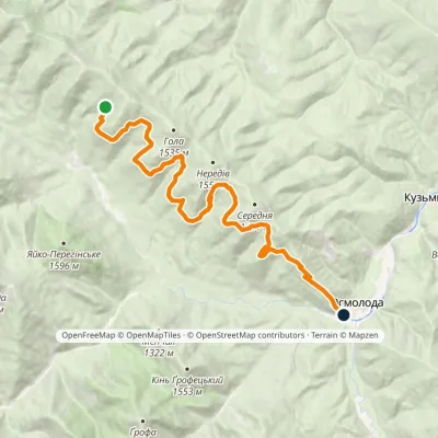 ModerateOne-dayMarkedArshytsia ridge traverseElevation profile721–1 330 m19.2 kmascent 288 m≈ 5.5 h walking
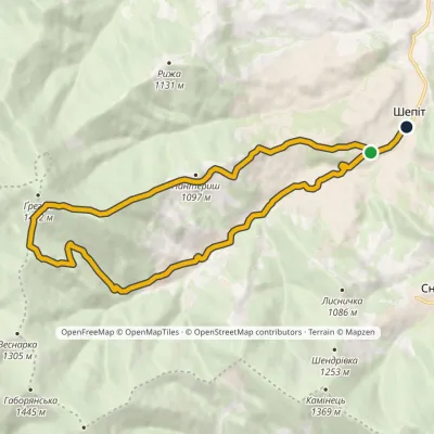 ModerateOne-dayMarkedShepit village Mount HrehitElevation profile674–1 424 m15.1 kmascent 708 m≈ 5 h walking
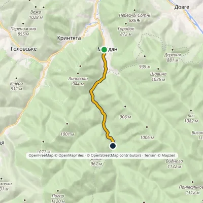 EasyOne-dayMarkedNo. 5003 Maidan village MalmanstalElevation profile531–616 m5.7 kmascent 88 m≈ 1.5 h walking
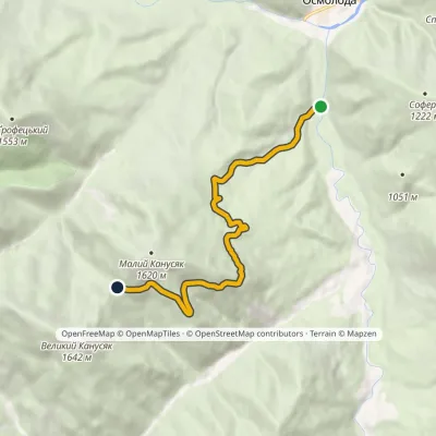 ModerateOne-dayMarkedEastern traverse of Malyi KanusiakElevation profile732–1 383 m7.8 kmascent 667 m≈ 3.5 h walking
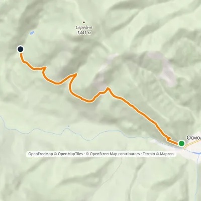 EasyOne-dayMarkedLower traverse of Arshytsia ridgeElevation profile793–1 044 m6.7 kmascent 295 m≈ 2.5 h walking
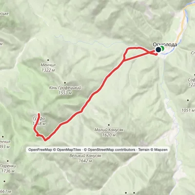 HardTwo-dayMarkedOsmoloda village loopvia Mount GrofaElevation profile716–1 748 m23.9 kmascent 1 102 m≈ 8 h walking
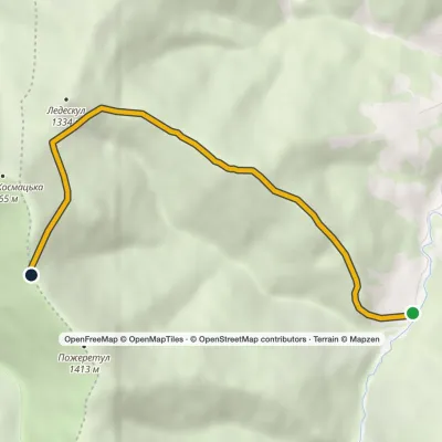 EasyOne-dayMarkedTo Mount PozheratulElevation profile788–1 447 m6.2 kmascent 720 m≈ 3 h walking
Waters and waterfalls
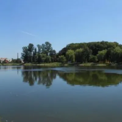 LakeCity lake in KolomyiaKolomyiaAfter touring the city, it's a good idea to relax and unwind by the water.
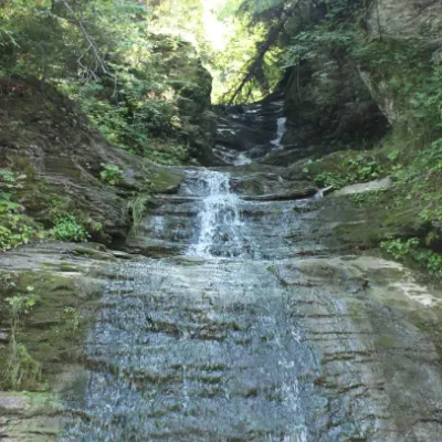 WaterfallSrednyi Huk waterfall (Bukovyna waterfalls)RoztokyThe Srednyi Huk waterfall is one of the Bukovyna waterfalls located in the Chernivtsi region in western Ukraine.
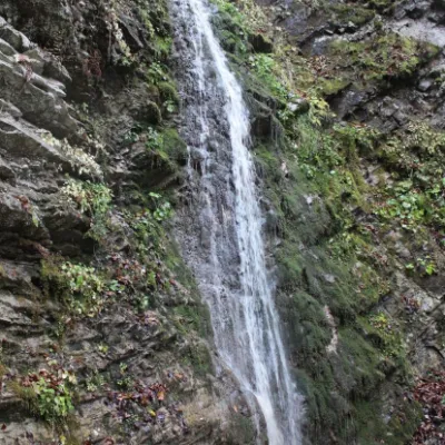 WaterfallSych waterfall (Bukovinian waterfalls)RoztokyThe Sych Waterfall is one of the waterfalls that are part of the Bukovyna Waterfalls, located in the Roztotskyi...
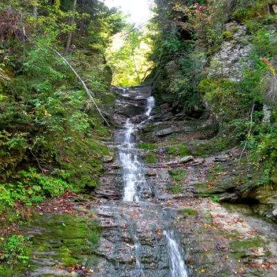 WaterfallBukovinian (Smugar) waterfallsRoztokyA picturesque chain of waterfalls, up to two kilometers long, stretches along the Smuhariv River in Bukovyna, in the...
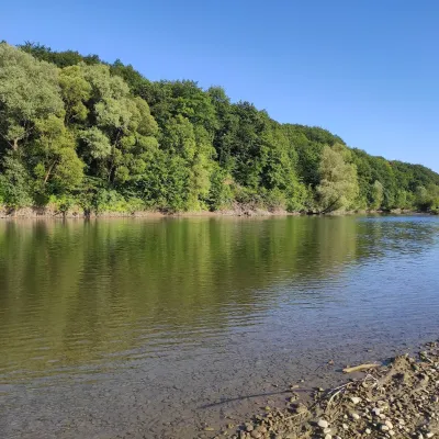 RiverBystrytsia Solotvynska RiverSolotvynThe Bystrytsia Solotvynska rises at about 1,390 m at the foot of Mala Syvulia and Bystryk, near the Peklo cliffs in...
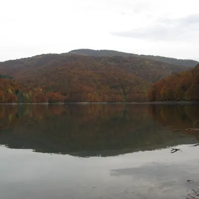 LakeVilshany ReservoirVilshanyThe Vilshany Reservoir, also called the Tereblia-Rika Reservoir, is a narrow mountain lake in the Tereblia valley...
Mountain ranges: In other countries: 🇸🇰 Strážov Mountains, 🇨🇿 White Carpathians, 🇸🇰 Lesser Fatra, 🇸🇰 Slovak Ore Mountains, 🇸🇰 Greater Fatra, 🇸🇰 Volovec Mountains, 🇸🇰 Low Tatras, 🇸🇰 Kysuce Beskids, 🇸🇰 Kremnica Mountains, 🇨🇿 Moravian-Silesian Beskids, 🇸🇰 Slovak Paradise, 🇸🇰 Spiš Magura, 🇵🇱 Pieniny, 🇸🇰 Levoča Mountains
Trails and peaks near which naturalists recorded the species (GBIF, iNaturalist), matched by altitude and habitat. Sightings are not guaranteed.
Sources
- Вікіпедія: Калина звичайна
- Wikipedia (en): Viburnum opulus
- Лісовий кодекс України, ст. 69: загальне використання лісових ресурсів (збирання грибів і ягід для власних потреб)
- iNaturalist: Viburnum opulus (спостереження в Карпатах)
GBIF · iNaturalist · Wikidata · Distribution data: GBIF.org (CC0 and CC BY records), iNaturalist; names and identifiers: Wikidata (CC0). Text: Karpaty.rocks, checked 09.11.2026.
