Arshytsia ridge traverse
Trail map
Route, springs and shelters: © OpenStreetMap contributors (ODbL) · elevation: Copernicus DEM © DLR e.V., © Airbus DS · Data & licences
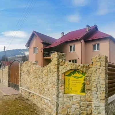
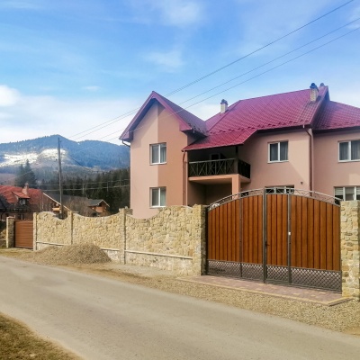
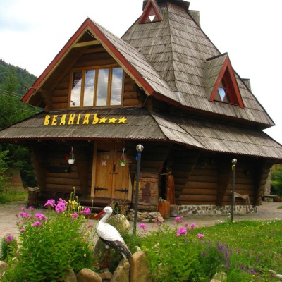
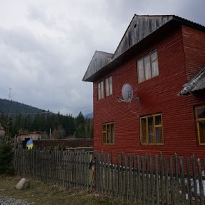
Where to stay nearby
About the trail
Route Arshytsia ridge traverse. Has orange marking (local route). Waymarking data: OpenStreetMap (© OpenStreetMap contributors, ODbL).
Officially marked local tourist route. The marking is orange, the sign is a triangle in the corner on a white background. Length of the route — 19.2 km. Location: mountain range — Horgany, Ivano-Frankivsk region.
At a glance
A one-day route of 19.2 km with 285 m of ascent and 839 m of descent. Estimated walking time: about 5.5 h, not counting stops. Difficulty: moderate. Waymarking: orange.
Route stages
- 0–10 kmGentle ups and downs at 1,100–1,320 m
- 10–11 kmClimb of 210 m (up to 1,312 m)
- 11–13 kmGentle ups and downs at 1,290–1,330 m
- 13–19 kmDescent of 570 m (down to 730 m)
Steepest kilometre: km 18–19, a descent of 250 m (≈25%).
Water and overnight stays
A spring near the trail: at km 7. There are no springs between km 7 and 19 — carry at least 2 l of water. Some springs run low or dry up in late summer.
Places to stay near the finish: Osmoloda.
When to go
Best time: May to October. In winter deep snow is possible, so experience and winter gear are needed.
Getting there
This is a one-way route: the finish is 9 km from the start in a straight line, so plan your way back in advance.
FAQ
- How long does the route take?
- Estimated walking time: about 5.5 h, not counting stops.
- Is there water on the route?
- A spring near the trail: at km 7. There are no springs between km 7 and 19 — carry at least 2 l of water. Some springs run low or dry up in late summer.
- Where can I stay overnight?
- Places to stay near the finish: Osmoloda.
Water and shelter on the route
- Spring (Kuzmynets, 5)km 7.1 from the start · Not verified · 1 189 m
Before you go, check the border-regime restrictions: Border Guard permit for mountain hikes (in Ukrainian)
Comments
Trails nearby
All trails HardMulti-dayMyslivka village to Mizhhiriavia Mount Moloda, Mount Popadia +3Elevation profile436–1 744 m117 kmascent 6 404 m
 ModerateOne-dayMarkedOsmoloda village Mount GrofaElevation profile715–1 743 m10.9 kmascent 1 014 m≈ 5 h walking
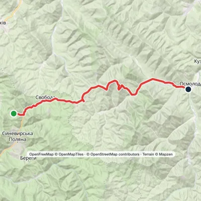 HardMulti-dayMarkedLake Synevyr to Osmoloda villagevia Svoboda village, Hycha polonyna +1Elevation profile725–1 721 m32.9 kmascent 1 026 m≈ 10.5 h walking
Craft nearby
All craft places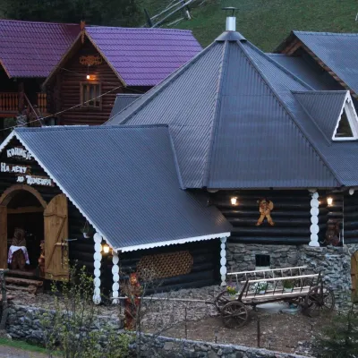 Koliby & Hutsul cuisineKolyba “Na Detsu do Tsimbora”, Synevyrska PolianaSynevyrska Polyana19 km from the trailNa Detsu do Tsimbora is a large kolyba restaurant in Synevyrska Poliana, right where the road starts climbing to Lake Synevyr.
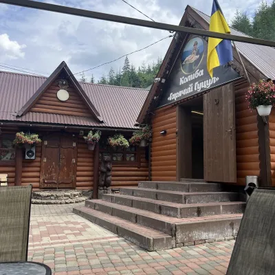 Koliby & Hutsul cuisineKolyba “Hariachyi Hutsul”, Synevyrska PolianaSynevyrska Polyana19 km from the trailKolyba “Hariachyi Hutsul” (“The Hot Hutsul”) is a cosy kolyba-museum in Synevyrska Poliana, on the road to Lake Synevyr.
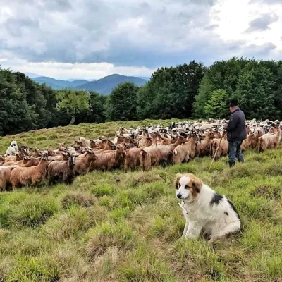 Cheese dairies & pasturesVivcharskyi Khutir Sheep Farm, Synevyrska PolianaSynevyrska Polyana23 km from the trail"Vivcharskyi Khutir" ("Shepherd's Homestead") is an ethno-centre and sheep farm in Synevyrska Poliana, near Lake Synevyr.
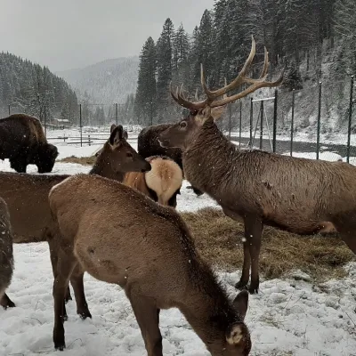 Wildlife parks & animal farmsWolf Valley Eco Park, Synevyrska PolianaSynevyrska Polyana24 km from the trailWolf Valley Eco Park (Dolyna Vovkiv) is a private animal park in Synevyrska Poliana, in the Mizhhiria area of Zakarpattia, where several kinds of wolves, red deer,...
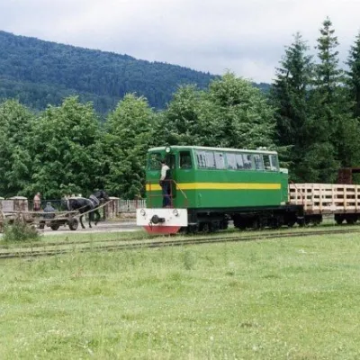 Heritage transportCarpathian TramVyhoda25 km from the trailIn 1873, Austrian entrepreneur Baron Leopold Popper von Podgari moved the headquarters of his company from Hungary to Galicia.
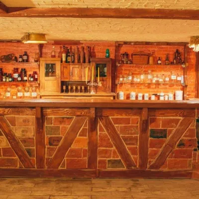 Honey & meaderiesChorna Bdzhola Meadery, VyhodaVyhoda25 km from the trailChorna Bdzhola (“Black Bee”) in Vyhoda is a small, cosy meadery in the Kalush district of the Ivano-Frankivsk region, where you can learn how drinking mead was...
