Lower traverse of Arshytsia ridge
Trail map
Route, springs and shelters: © OpenStreetMap contributors (ODbL) · elevation: Copernicus DEM © DLR e.V., © Airbus DS · Data & licences
Where to stay nearby
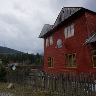
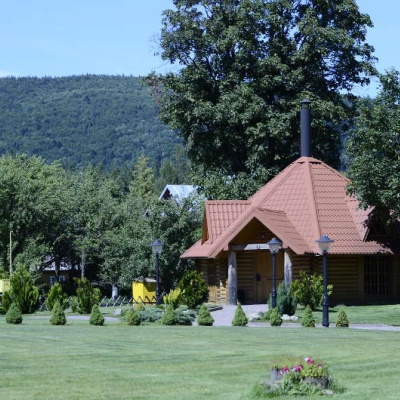
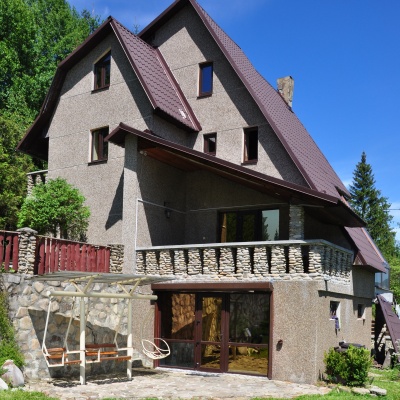
About the trail
Route Lower traverse of Arshytsia ridge. Has orange marking (local route). Waymarking data: OpenStreetMap (© OpenStreetMap contributors, ODbL).
Officially marked local tourist route. The marking is orange, the sign is a triangle in the corner on a white background. Length of the route — 6.7 km. Location: mountain range — Horgany, Ivano-Frankivsk region.
At a glance
A short route of 6.7 km with 294 m of ascent. Estimated walking time: about 2 h, not counting stops. Difficulty: easy. Waymarking: orange.
Route stages
- 0–2.5 kmClimb of 230 m (up to 1,031 m)
- 2.5–6.5 kmGentle ups and downs at 980–1,040 m
Steepest kilometre: km 0–1, a climb of 140 m (≈14%).
Water and overnight stays
Springs near the trail: at km 4.5 and 5.5.
Places to stay near the start: Osmoloda.
When to go
Best time: May to October. In winter deep snow is possible, so experience and winter gear are needed.
Getting there
Most places to stay near the start are in Osmoloda. This is a one-way route: the finish is 5 km from the start in a straight line, so plan your way back in advance.
FAQ
- How long does the route take?
- Estimated walking time: about 2 h, not counting stops.
- Is there water on the route?
- Springs near the trail: at km 4.5 and 5.5.
- Where can I stay overnight?
- Places to stay near the start: Osmoloda.
Water and shelter on the route
- Drinking water (Kuzmynets, 2)km 4.4 from the start · Not verified · 1 016 m
- Drinking water (Kuzmynets)km 5.6 from the start · Not verified · 1 023 m
Before you go, check the border-regime restrictions: Border Guard permit for mountain hikes (in Ukrainian)
Comments
Trails nearby
All trails ModerateOne-dayMarkedOsmoloda village Mount GrofaElevation profile715–1 743 m10.9 kmascent 1 014 m≈ 5 h walking
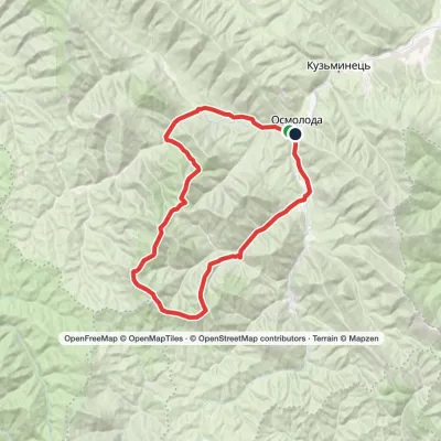 HardMulti-dayMarkedOsmoloda village loopvia Mount Grofa, Mount Koretvyna +1Elevation profile717–1 744 m40.6 kmascent 1 912 m≈ 14 h walking
 HardMulti-dayOsmoloda village to Dragobratvia Mount Ihrovets, Mount Syvulia +4Elevation profile687–1 825 m116.7 kmascent 4 410 m
Craft nearby
All craft places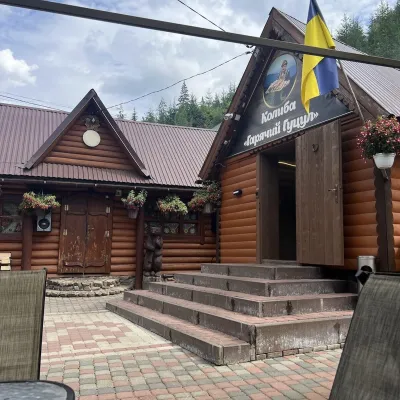 Koliby & Hutsul cuisineKolyba “Hariachyi Hutsul”, Synevyrska PolianaSynevyrska Polyana23 km from the trailKolyba “Hariachyi Hutsul” (“The Hot Hutsul”) is a cosy kolyba-museum in Synevyrska Poliana, on the road to Lake Synevyr.
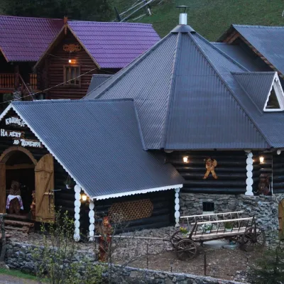 Koliby & Hutsul cuisineKolyba “Na Detsu do Tsimbora”, Synevyrska PolianaSynevyrska Polyana23 km from the trailNa Detsu do Tsimbora is a large kolyba restaurant in Synevyrska Poliana, right where the road starts climbing to Lake Synevyr.
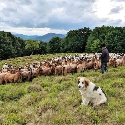 Cheese dairies & pasturesVivcharskyi Khutir Sheep Farm, Synevyrska PolianaSynevyrska Polyana26 km from the trail"Vivcharskyi Khutir" ("Shepherd's Homestead") is an ethno-centre and sheep farm in Synevyrska Poliana, near Lake Synevyr.
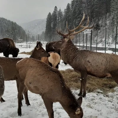 Wildlife parks & animal farmsWolf Valley Eco Park, Synevyrska PolianaSynevyrska Polyana27 km from the trailWolf Valley Eco Park (Dolyna Vovkiv) is a private animal park in Synevyrska Poliana, in the Mizhhiria area of Zakarpattia, where several kinds of wolves, red deer,...
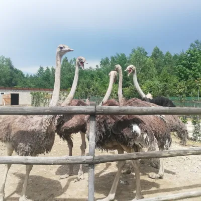 Wildlife parks & animal farmsSavanna Ostrich Farm, LovahyLovahy28 km from the trailSavanna Ostrich Farm is an unexpected find in the Carpathian foothills. It lies in the small Boyko village of Lovahy in the Kalush district, not far from Nebyliv,...
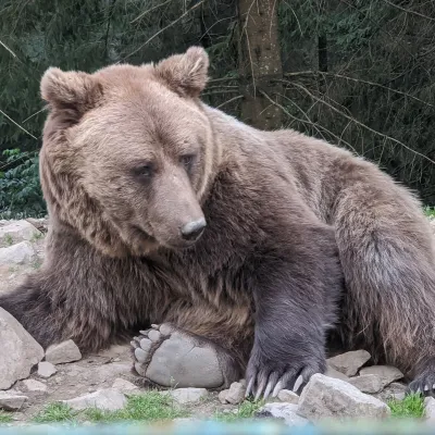 Wildlife parks & animal farmsBrown Bear Rehabilitation Centre, Synevyr National Park, Synevyrska PolianaSynevyrska Polyana28 km from the trailThe Brown Bear Rehabilitation Centre of Synevyr National Nature Park is Ukraine’s largest refuge for bears that have suffered from cruel treatment.
