Broadleaf plantain
For information only, not medical advice. Do not self-medicate — consult a doctor. Many Carpathian medicinal plants are protected and must not be collected.
About
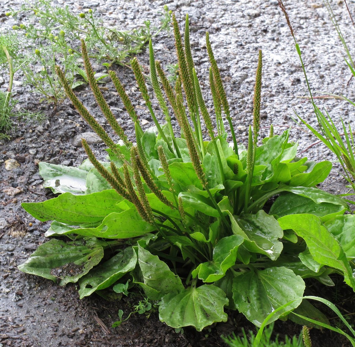
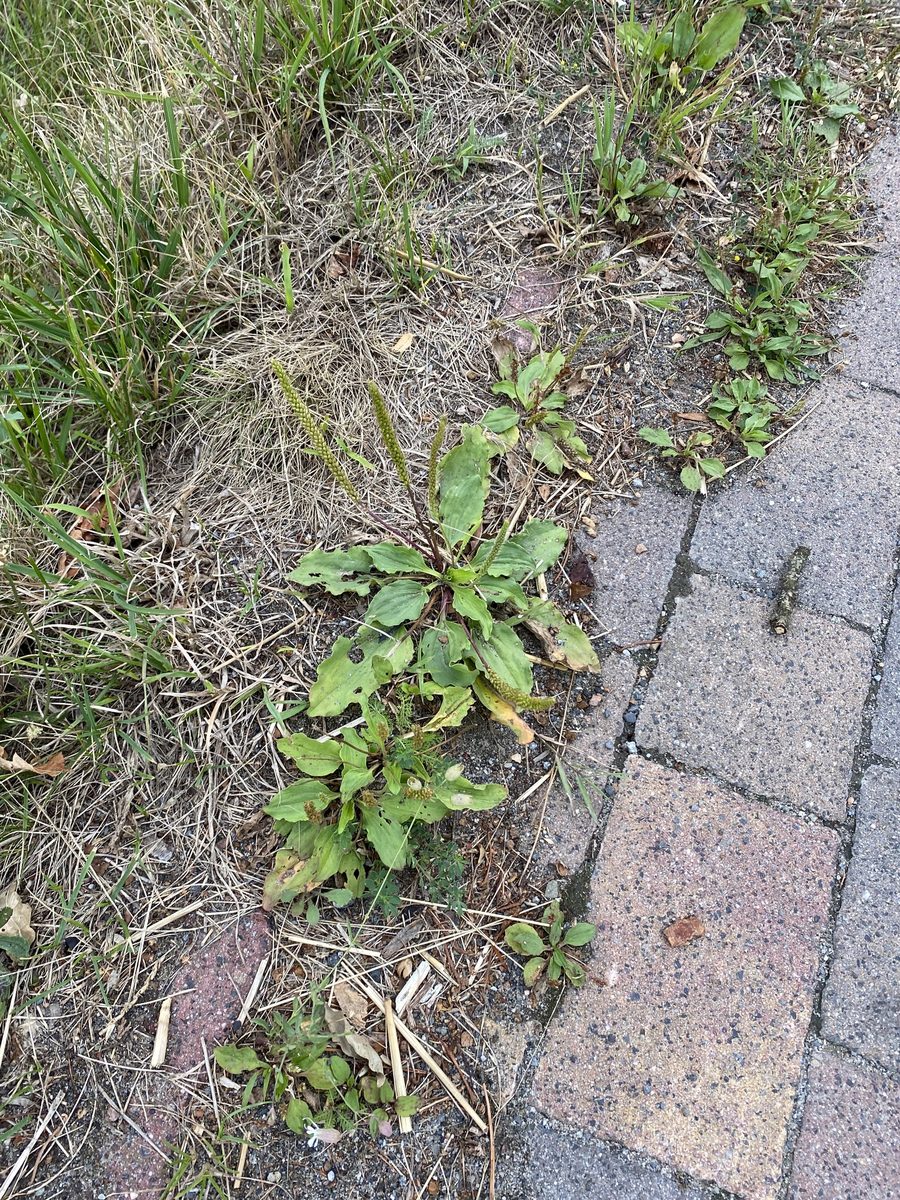
Broadleaf plantain lives up to its name: it grows along roads and paths, in clearings, meadows, glades, yards, and near Kolibas. The plant withstands trampling better than most grasses, so on compacted paths, it often remains almost the only species. Its ability to survive on compacted soil makes it useful for restoring damaged areas.
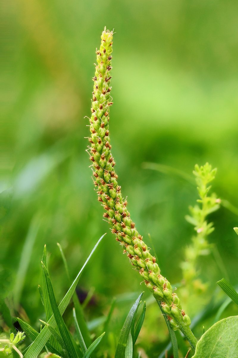
At ground level, there is a rosette of broad, oval or elliptical leaves with three to seven well-defined arching veins. Flowering stems are 10–60 cm tall, leafless, with a long dense spike of small inconspicuous flowers. It blooms from May to July, and later the spike is covered with small seeds. The Broadleaf plantain is so closely associated with humans that in North America, where it was brought by Europeans, indigenous peoples called it 'the white man's footprint.'
Broadleaf plantain is one of the most well-known folk plants. Traditionally, leaves were applied to scratches, abrasions, and insect bites, while dried leaves were brewed as tea. Modern researchers find allantoin, aucubin, flavonoids, and other substances in it, but folk use is a tradition rather than a verified method of treatment.
Nearby in the mountains, the lanceolate plantain often grows with narrow long leaves and a short dark spike. Both species are common and not protected, but the Broadleaf plantain from roadsides where cars pass is not collected for tea.
Where in the Carpathians

The map shows where naturalists recorded the species (GBIF, CC0 and CC BY records), not every place it lives. The Ukrainian Carpathians are less studied, so a blank area does not mean the species is absent.
- Countries
- Slovakia · Czechia · Poland · Ukraine · Hungary · Romania · Austria · Serbia
- Mountain ranges
- Slovak Ore Mountains, Strážov Mountains, Kysuce Beskids, Greater Fatra, Lesser Fatra, White Carpathians, Low Tatras, Moravian-Silesian Beskids, Slovak Central Mountains, Low Beskids
- Altitude belts
- Foothills (below 600 m) · Beech forests (600–1200 m)
When to see it
| Jan | Feb | Mar | Apr | May | Jun | Jul | Aug | Sep | Oct | Nov | Dec | |
|---|---|---|---|---|---|---|---|---|---|---|---|---|
| Flowering | ||||||||||||
| Fruit |
From naturalists’ observations in the Carpathians (iNaturalist, research grade): the darker the cell, the more often the species is seen that month.
Look-alikes — how to tell them apart
Leaves are narrow, long, lanceolate; the spike is short, dark, on a long ribbed stem.
In folk tradition
Traditionally, leaves were applied to scratches and insect bites, while dried leaves were brewed as herbal tea.
Protection and rules
Not protected. Collecting plants in reserves and protected areas of national parks is prohibited.
FAQ
Why does Broadleaf plantain grow on paths?
It withstands trampling better than most grasses and thrives on compacted soil. That's why Broadleaf plantain grows along roads and paths.
How does Broadleaf plantain differ from lanceolate plantain?
Broadleaf plantain has broad oval leaves and a long spike, while lanceolate plantain has narrow long leaves and a short dark spike.
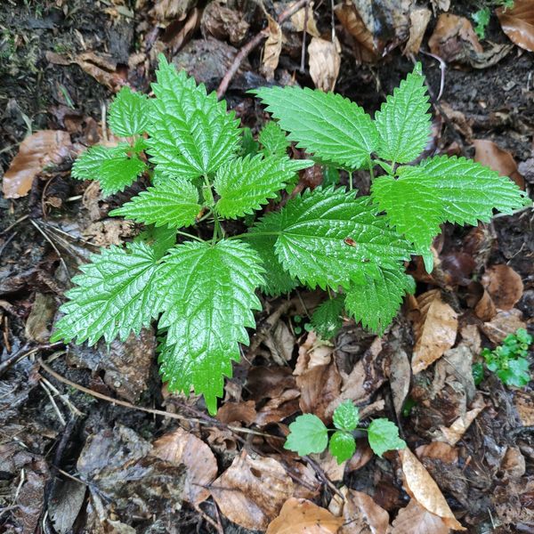
Similar species
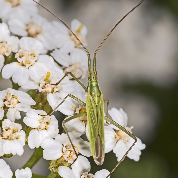
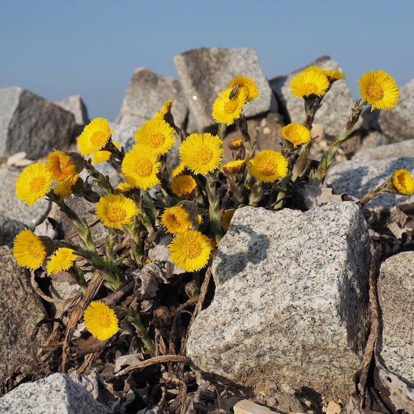
Where to meet it
Trails
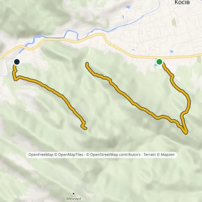 ModerateOne-dayMarkedMount Ostryi Mount Mykhalkiv (yellow trail)Elevation profile382–812 m7.7 kmascent 652 m≈ 3 h walking
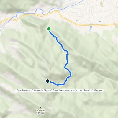 EasyOne-dayMarkedMount Ostryi Mount Mykhalkiv (blue trail)Elevation profile477–700 m3.4 kmascent 274 m≈ 1.5 h walking
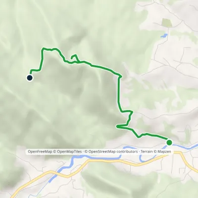 EasyOne-dayMarkedSulphur spring Mount KamenystyiElevation profile380–688 m4 kmascent 308 m≈ 1.5 h walking
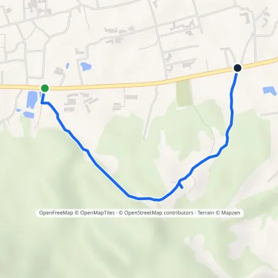 EasyOne-dayMarkedSpring KosivElevation profile369–474 m2.3 kmascent 96 m≈ 45 min walking
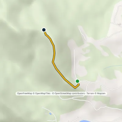 EasyOne-dayMarkedKarpatski Zori shelter sulphur springElevation profile504–665 m1 kmascent 161 m≈ 30 min walking
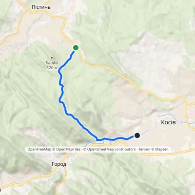 EasyOne-dayMarkedSt Nicholas Estate Huk Kosivskyi WaterfallElevation profile368–637 m6.9 kmascent 209 m≈ 2 h walking
Peaks and meadows
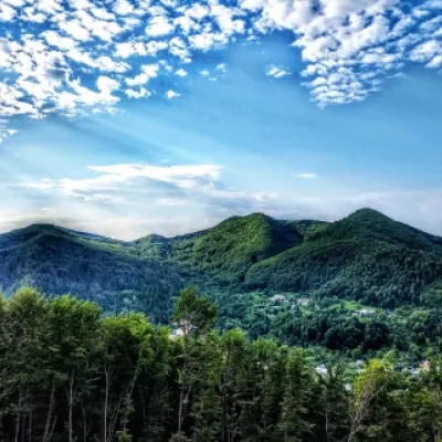 PeakMount Sopka (Stizhky, Zinyakov top).Kosivaltitude 620 m2 trails to the topStizhki (620 meters) offers a panoramic view of the city of Kosiv. The mountain is covered with forests - beech,...
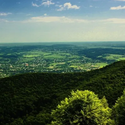 PeakMount Mykhalkova (Kosiv)Kosivaltitude 812 m2 trails to the topMount Mykhalkova (Mykhalkiv), with a height of 812 meters, is part of the Pokuttya Carpathians.
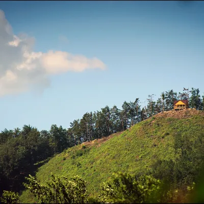 PeakMount Ostry (Ostra)Kosivaltitude 584 m2 trails to the topThe mountain offers wonderful views of the entire Kosiv. The descent is steep, and autumn is magical here.
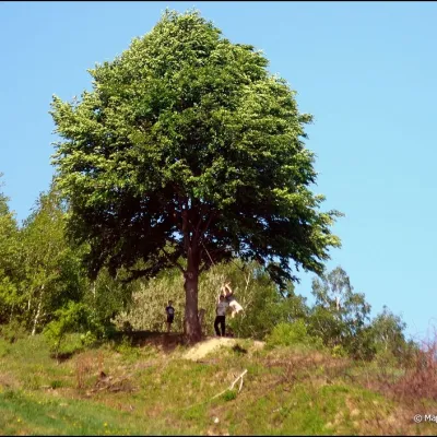 PeakMount KicheraKosivaltitude 567 mThe march to Kichera is an easy walk that all tourists can do. The small length of the march allows you to take your...
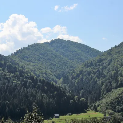 PeakMount of the Heroes of the Heavenly HundredRybnykaltitude 886 m · Skole Beskids rangeThe Mount of the Heroes of the Heavenly Hundred (locally Konova or Horb) is an 886 m summit (890 m according to other...
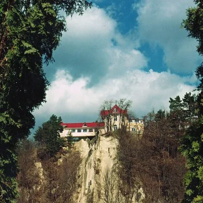 PeakCastle Hill (City)Kosivaltitude 450 mThe top offers a panoramic view of the city. The mountain is home to unique black alpine pines, as well as deciduous...
Waters and waterfalls
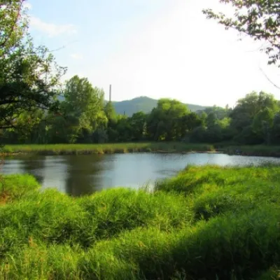 LakeCity Banske Lake (Kosiv)KosivThere are lakes of technogenic origin in the Hutsul mountains. One such lake is Banske Lake (near the former factory ...
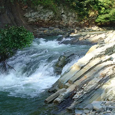 WaterfallKosivskyi Huk WaterfallKosivKosivskyi Huk - one of the most beautiful waterfalls in the Ukrainian Carpathians (in the Pokuttya-Bukovyna...
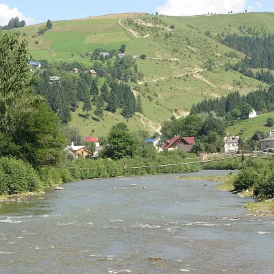 RiverWhite CheremoshUsterikyThe White Cheremosh is one of the most beautiful and important rivers in the Ukrainian Carpathians.
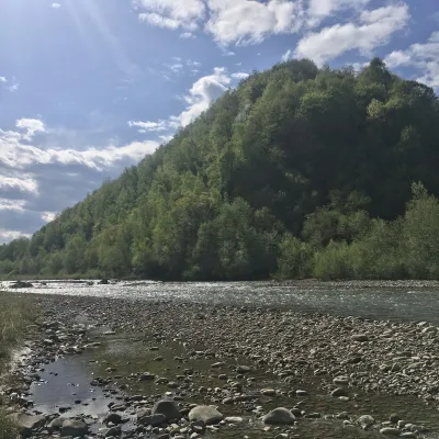 RiverBystrytsia Nadvirnianska RiverNadvirnaThe Bystrytsia Nadvirnianska rises on the northern slope of Mount Chorna Kleva in the Gorgany, at about 1,280 m.
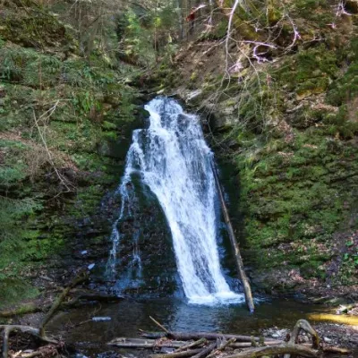 WaterfallSopit waterfallSopitSopit (Sopitsky ) is a waterfall in the Ukrainian Carpathians on the territory of the Skole Beskydy National Nature...
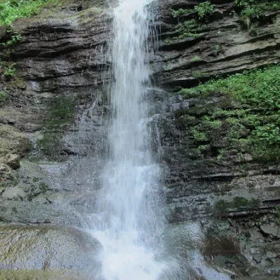 WaterfallLazny waterfallDrohobych districtLaznyi is a waterfall in the Ukrainian Carpathians (in the Skole Beskydy massif), a hydrological natural monument of...
Mountain ranges: In other countries: 🇸🇰 Slovak Ore Mountains, 🇸🇰 Strážov Mountains, 🇸🇰 Kysuce Beskids, 🇸🇰 Greater Fatra, 🇸🇰 Lesser Fatra, 🇨🇿 White Carpathians, 🇸🇰 Low Tatras, 🇨🇿 Moravian-Silesian Beskids, 🇸🇰 Slovak Central Mountains, 🇵🇱 Low Beskids, 🇸🇰 Javorníky, 🇸🇰 Volovec Mountains, 🇸🇰 Kremnica Mountains, 🇸🇰 Vtáčnik Mountains
Trails and peaks near which naturalists recorded the species (GBIF, iNaturalist), matched by altitude and habitat. Sightings are not guaranteed.
Sources
- Вікіпедія: Подорожник великий
- Wikipedia (en): Plantago major
- Wikipedia (en): Plantago lanceolata
- iNaturalist: Plantago major (спостереження в Карпатах)
GBIF · iNaturalist · Wikidata · Distribution data: GBIF.org (CC0 and CC BY records), iNaturalist; names and identifiers: Wikidata (CC0). Text: Karpaty.rocks, checked 09.11.2026.
