Mount Ostryi – Mount Mykhalkiv (blue trail)
Trail map
Route, springs and shelters: © OpenStreetMap contributors (ODbL) · elevation: Copernicus DEM © DLR e.V., © Airbus DS · Data & licences
Where to stay nearby


About the trail
Route Mount Ostryi – Mount Mykhalkiv (blue trail). Has blue marking (waymarked route). Waymarking data: OpenStreetMap (© OpenStreetMap contributors, ODbL).
Officially marked tourist route. The marking is blue, the sign is a horizontal stripe on a white background. The length of the route is 3.4 km. Location: mountain range — Pokuttya-Bukovyna Carpathians, Ivano-Frankivsk region.
At a glance
A short route of 3.4 km with 262 m of ascent from Mount Ostryi to Mount Mykhalkiv (blue trail). Estimated walking time: about 1.5 h, not counting stops. Difficulty: easy. Waymarking: blue.
Route stages
- 0–2 kmClimb of 200 m (up to 678 m)
- 2–3.5 kmGentle ups and downs at 630–690 m
Steepest kilometre: km 1–2, a climb of 150 m (≈15%).
Water and overnight stays
Springs near the trail: at km 1.5 and 2.5.
Places to stay near the start: Kosiv.
When to go
The route can be walked most of the year; it is most comfortable from April to October.
Getting there
Start: Mount Ostryi. Most places to stay near the start are in Kosiv. This is a one-way route: the finish is 2 km from the start in a straight line, so plan your way back in advance.
FAQ
- How long does the route take?
- Estimated walking time: about 1.5 h, not counting stops.
- Is there water on the route?
- Springs near the trail: at km 1.5 and 2.5.
- Where can I stay overnight?
- Places to stay near the start: Kosiv.
Water and shelter on the route
- Stream water below Mount Mykhalkova (3)km 1.3 from the start · Not verified · 575 m
- Drinking water below Mount Mykhalkovakm 2.6 from the start · 190 m off the path · Not verified · 586 m
- Stream water below Mount Mykhalkovakm 3.2 from the start · Not verified · 660 m
Before you go, check the border-regime restrictions: Border Guard permit for mountain hikes (in Ukrainian)
Comments
Trails nearby
All trails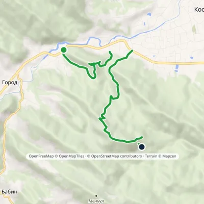 EasyOne-dayMarkedMount Mykhalkiv loop trailElevation profile385–817 m6.4 kmascent 584 m≈ 3 h walking
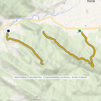 ModerateOne-dayMarkedMount Ostryi Mount Mykhalkiv (yellow trail)Elevation profile382–809 m7.7 kmascent 627 m≈ 3 h walking
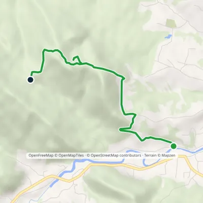 EasyOne-dayMarkedSulphur spring Mount KamenystyiElevation profile380–688 m4 kmascent 294 m≈ 1.5 h walking
Craft nearby
All craft places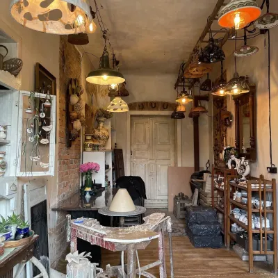 Craft shopsFiraworkshop author ceramics studio-shop, KosivKosiv1.4 km from the trailFiraworkshop is a creative studio of author ceramics in Kosiv, at 213 Nezalezhnosti Street, where you can both buy finished pieces and try working with clay yourself.
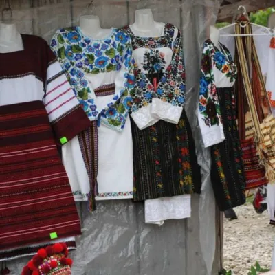 Markets & fairsKosiv Market (Smodnyansky Market), KosivKosiv1.5 km from the trailKosiv (Smodnyansky) Market in Ivano-Frankivsk region is a treasure trove of folk traditions, a corner of Hutsulshchyna that tourists and guests should definitely visit...
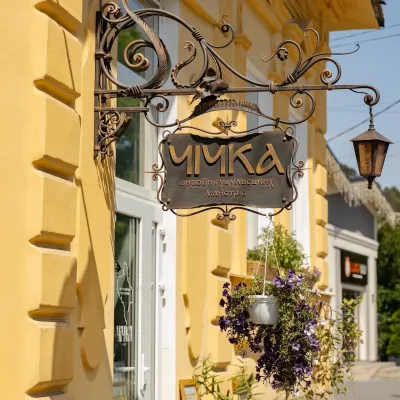 Craft shopsChichka shop of Hutsul handicrafts, KosivKosiv2 km from the trailChichka is a shop of contemporary handmade Hutsul goods in the very centre of Kosiv, at 76 Nezalezhnosti Street.
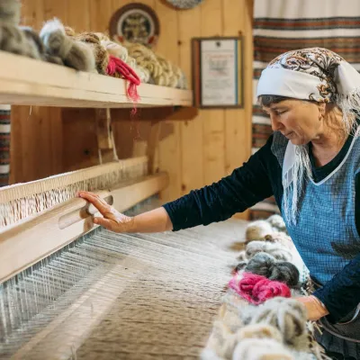 Crafts & workshopsLizhnyk Weaving Masterclass, KosivKosiv2.4 km from the trailA lizhnyk of your own: what the masterclass is The Kosiv area is one of the main centres of Hutsul lizhnyk weaving, and the best way to understand the craft is to sit...
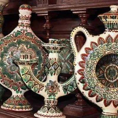 Crafts & workshopsKosiv Painted Ceramics Masterclass, KosivKosiv2.4 km from the trailYellow deer, green birds, riders and flowers on a warm white background — Kosiv painted ceramics are recognisable at a glance.
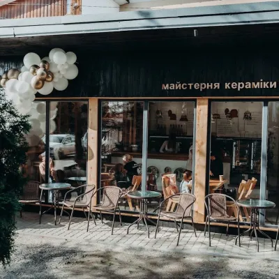 Crafts & workshopsGonchar Ceramics & Coffee Workshop, KosivKosiv2.4 km from the trailA pottery where you drink coffee from cups made on site Gonchar is a small ceramics and coffee workshop in central Kosiv run by the Chornyi family of potters.
