Javorníky
Javorníky is a mountain range in the Outer Western Carpathians. It lies in Slovakia, Czechia. Elevation ranges from 297 to 1,066 m over about 901 km².
- Elevation
- 297–1,066 m
- Area
- ≈ 901 km²
- Countries
- Slovakia, Czechia
- Part of
- Outer Western Carpathians
On the map
Waymarked trails · 39
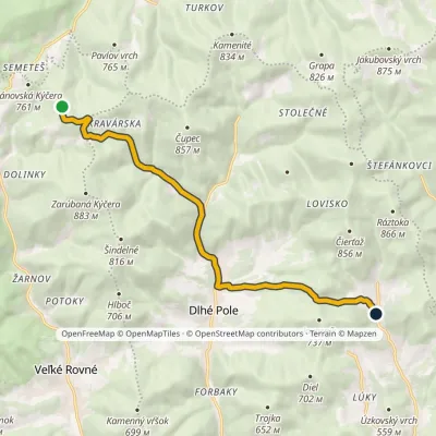 ModerateOne-dayMarkedBielovci Divina, HucerovciElevation profile399–806 m11.3 kmascent 297 m≈ 3.5 h walking
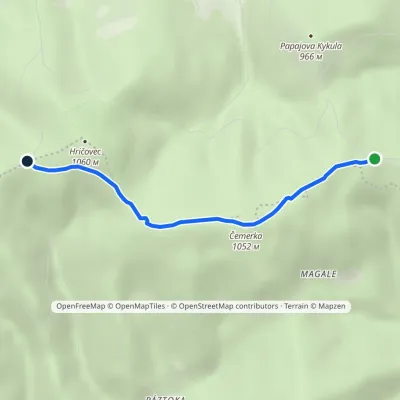 EasyOne-dayMarkedSedlo pod Hričovcom Nad ZápačouElevation profile947–1 052 m3.6 kmascent 138 m≈ 1 h walking
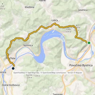 ModerateTwo-dayMarkedPovažské Podhradie PúchovElevation profile259–654 m18.9 kmascent 894 m≈ 6.5 h walking
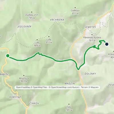 EasyOne-dayMarkedU Melocíka BielovciElevation profile505–790 m7.8 kmascent 238 m≈ 2.5 h walking
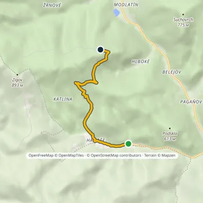 EasyOne-dayMarkedKátlina Nad KončinouElevation profile433–775 m4.2 kmascent 338 m≈ 1.5 h walking
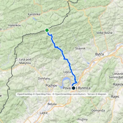 HardMulti-dayMarkedPovažská Bystrica Malý JavorníkElevation profile279–1 019 m31.7 kmascent 774 m≈ 9.5 h walking
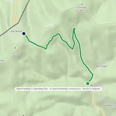 EasyOne-dayMarkedŠtiavnik, Ráztoka Kasárne, hutsElevation profile587–992 m5.7 kmascent 404 m≈ 2 h walking
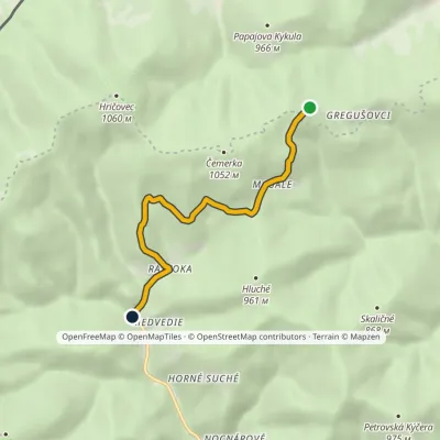 EasyOne-dayMarkedŠtiavnik, Ráztoka Nad ZápačouElevation profile587–961 m5.5 kmascent 40 m≈ 1.5 h walking
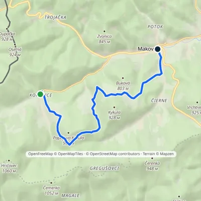 EasyOne-dayMarkedCesta Rudolfa MatteraElevation profile587–916 m9 kmascent 327 m≈ 3 h walking
Craft and local food
Huts and shelters · 40
AllChata KmínekLKJ Zlín Tourist ShelterPortáš HotelZigovka ShelterHviezda HutKadúbek GazeboMasarykova ShelterJavorka HutIgorov roh CanopyKrížne cesty HutHut below ChrasťovéPicnic shelter below StratenecPicnic shelter below Kýčerka (north-west slope), 651 mPicnic shelter below AdamkovWeather shelter below Kýčera (north-west slope), 1 017 mPicnic shelter below MraznicaHut below ČerenkaHut below Vojtov vrch
Springs · 85
AllMarikovský Stream SpringJavornícka studnička Prales SpringSpring on PolovejPapradňanka SpringSpring at FujeríkůJavornícka SpringSpring under Žiar IŽidova voda SpringOčná Spring, 502 mSpring below Stolečný (south-west slope)Maralov SpringSpring below ZigovSpring below LukaviceSpring below Veľký Javorník (north slope)Spring at DudúkaSpring below Čemerka (south-east slope), 832 mSpring below Čemerka (south-east slope), 841 mSpring below Papajova Kykula
© EEA (CC BY 4.0) · GMBA Mountain Inventory v2 (CC BY 4.0) · © OpenStreetMap contributors (ODbL)
