Spring
Javornícka studnička Prales Spring
Slovakia · Javorníky range · 1 025 m
Condition
Not verifiedNo recent reports. Carry water and, if you pass by, tell us what you saw.
Last edited on the OSM map 06.08.2026
- 1 025 m
- Marked as drinkable
About
Local name: Javornícka studnička Prales. Javorníky range, about 1 030 m above sea level. 3 of the site’s trails pass nearby, including “Kasárne, huts – Saddle Gežov”.
The water is marked as drinkable on the map, but nobody guarantees its quality.
On the map
Coordinates: 49.31988, 18.37141
How to get there
Trails nearby
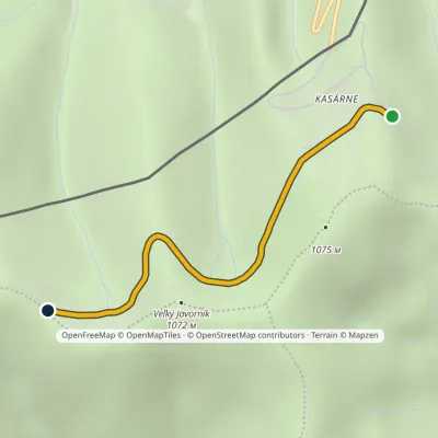 EasyOne-dayMarkedKasárne, huts Saddle GežovElevation profile963–1 046 m2.5 kmascent 84 m≈ 45 min walking
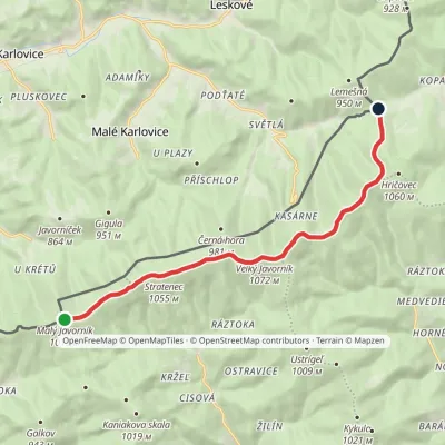 EasyOne-dayMarkedSaddle under Lemešná Malý JavorníkElevation profile798–1 075 m10.8 kmascent 168 m≈ 3 h walking
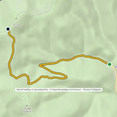 EasyOne-dayMarkedSedlo pod Veľkým Javorníkom Štiavnik, RáztokaElevation profile587–1 067 m6.4 kmascent 480 m≈ 2.5 h walking
Report the condition
Been here recently? Tell us what you saw and add photos — your report appears on the page right away with today’s date.
No photos yet — send yours together with a condition report.
