Smyreka


What to see nearby
The best within 10 km, as the crow flies
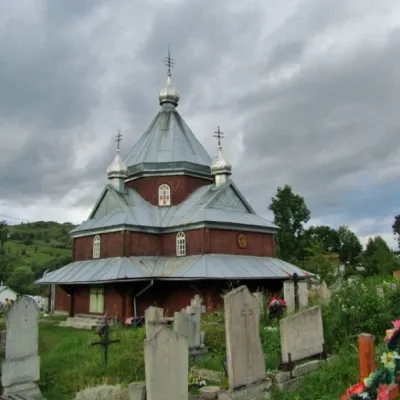 Church of the TransfigurationChurch · 1.9 km
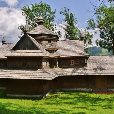 Strukivska ChurchChurch · 4.9 km
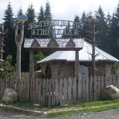
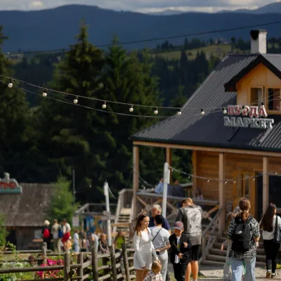 Polonyna Pertsi Ethno ParkMountain meadow · 6.0 km
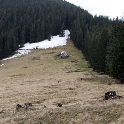 Polonyna BukovynaMountain meadow · 6.4 kmMount KakarazaPeak · 8.4 km
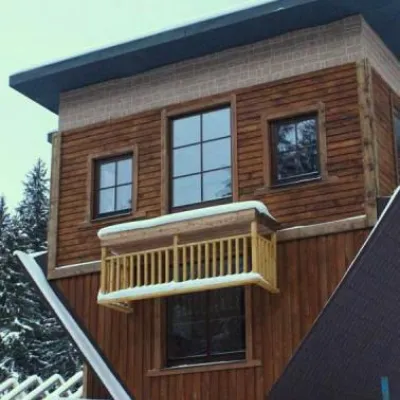 Perevernuty KhataArchitecture · 9.9 km
Trails starting within 5 km: 41
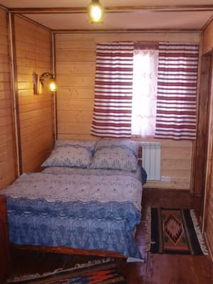
The private homestead "Smyreka" is located in Lazeshchyna. Guests are offered accommodation in a two-storey cottage, from the windows of which there is a view of the peaks of Hoverla and Petros. The first floor includes a double room, a veranda, a corridor, a bathroom with a washing machine, and a kitchen. The kitchen is equipped with a combined stove, refrigerator, coffee maker, kettle, and a set of necessary dishes. The second floor includes two double rooms, equipped with a bed and a wardrobe. On the territory of the private homestead, there is a gazebo, a barbecue area, and free parking for cars. For an additional fee, excursions, mountain hikes, and in summer - mushroom and berry picking can be organized for guests. The distance to the nearest shop is 500 m, to the sauna - 300 m, to the hot tub - 2 km, to the shepherd's hut - 2 km. The ski rental point is located at a distance of 800 m. The distance from the private homestead "Smyreka" to the Bukovel ski resort is 12 km, to the Dragobrat resort - 10 km. Not far away is the highest point of the Ukrainian Carpathians - Mount Hoverla (about 12 km from the homestead). Within a radius of 10-20 km are: Huk waterfall, mineral springs in the village of Kvasy, and Trufanets waterfall, as well as the famous peaks of the mountains Khomyak, Petros, Kukul, and Verkh Netry. The distance to Yaremche and Rakhiv is 40 km.
Children up to 5 years old stay for free without providing an extra bed.
By public transport: by train Kyiv - Rakhiv to the station Yasinia, by train Lviv - Rakhiv or diesel Ivano-Frankivsk - Rakhiv to the station Lazeshchyna or by buses to the stop Plytovaty in the village of Lazeshchyna. By car: along the H-09 highway to the village of Lazeshchyna, Rakhiv district. You can arrange with the hosts for a meeting at the station.
By agreement, for an additional fee. There is an opportunity to cook independently in a fully equipped kitchen.
Location on the map
Reviews
Nearby attractions
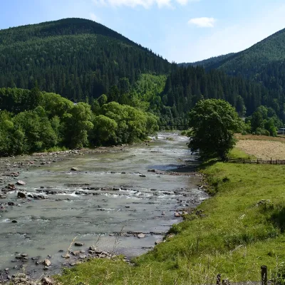 RiverChorna Tysa RiverYasinya4.9 km from SmyrekaThe Chorna Tysa is a mountain river in eastern Zakarpattia. It rises on the northern spurs of the Svydovets massif near the Okole Pass, at about 1,400 m, and flows...
 SightYablunytskyi pass, YablunytsiaYablunytsia7.3 km from SmyrekaYablunytskyi Pass is a transportation artery that connects Ivano-Frankivsk and Zakarpattia regions. There are observation decks on the pass that offer a beautiful and...
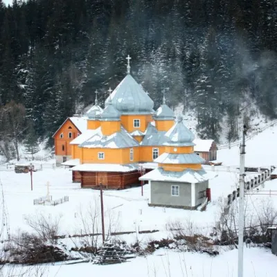 ChurchChurch of St. Basil the Great, YablunytsiaYablunytsia7.7 km from SmyrekaBasil the Great is a functioning church of the Yaremche Deanery of the Kolomyia Eparchy of the Ukrainian Orthodox Church-Kyivan Patriarchate in the village of...
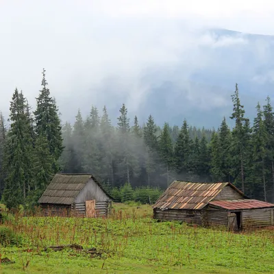 Mountain meadowPolonyna Kukul (Kukul), VoronenkoVoronenkoaltitude 1 440 m12 km from SmyrekaPolonyna Kukul is a mountain meadow in the Ukrainian Carpathians, within the Kukul ridge (Kukul mountain - 1539 m), administratively located within the Zakarpattia...
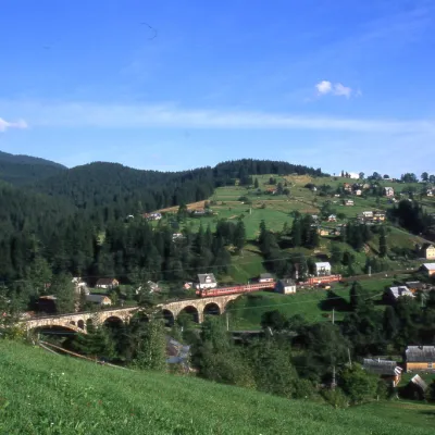 MuseumMuseum of History and Local Lore, VorokhtaVorokhta12 km from SmyrekaThe museum was inaugurated on January 21, 2007. The museum reveals the processes of the settlement's emergence, the Oprishka movement in the Vorokhta neighborhood, and...
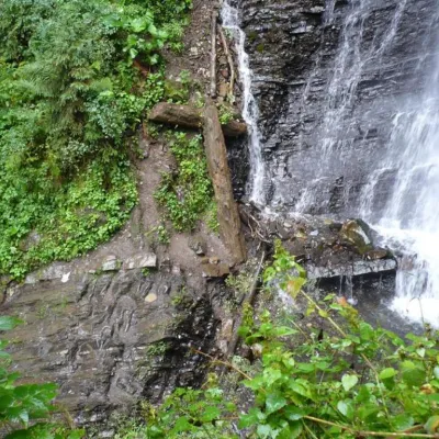 WaterfallZhenetsky Hook waterfallMykulychyn15 km from SmyrekaZhenetskyi Huk is one of the most convenient Carpathian waterfalls for tourists, as it is accessible by a direct, asphalt road.
Craft nearby
All craft places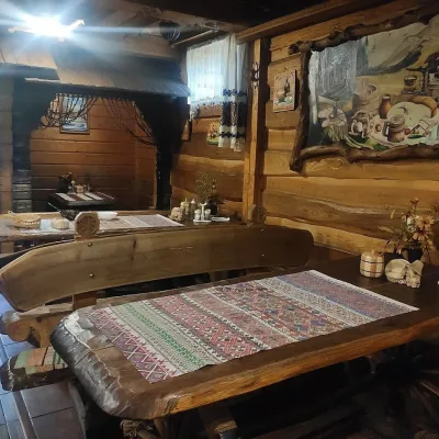 Koliby & Hutsul cuisineU Rizbaria Café, YasiniaYasinya3.4 km from SmyrekaU Rizbaria Café (“At the Woodcarver’s”) in Yasinia is a small Hutsul place serving home cooking that travellers usually find by word of mouth.
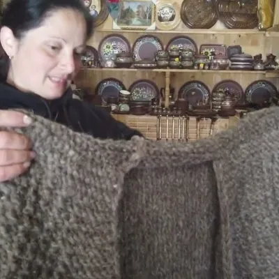 Markets & fairsSouvenir Market on the Yablunytsia Pass, YablunytsiaYablunytsia4.3 km from SmyrekaThe souvenir market on the Yablunytsia Pass is one of the best-known roadside bazaars in the Carpathians.
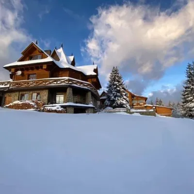 Koliby & Hutsul cuisineVysokyi Pereval Koliba, YablunytsiaYablunytsia4.9 km from SmyrekaVysokyi Pereval Koliba ("High Pass") stands in Yablunytsia, on the new road to Bukovel, in the Horishkiv area.
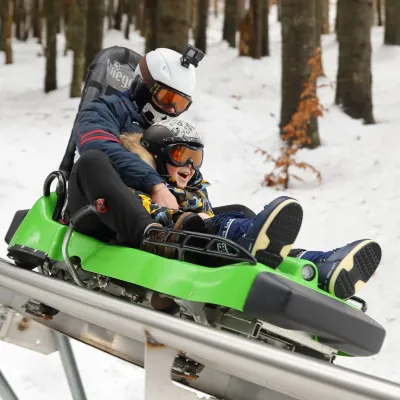 Adventures & attractionsSpeed Fun rodelbahn (mountain coaster), BukovelPolianytsia (Bukovel)8.4 km from SmyrekaSpeed Fun rodelbahn is a rail-mounted mountain coaster in Bukovel, Ukraine's first all-weather ride of its kind, built by the German company Wiegand.
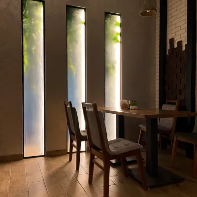 Craft beer & breweriesBartik Brewpub, PolianytsiaPolianytsia (Bukovel)8.9 km from SmyrekaBartik Brewpub (“Bartik at Bukovel”) is a restaurant-brewery in Polianytsia, within Ukraine’s largest ski resort.
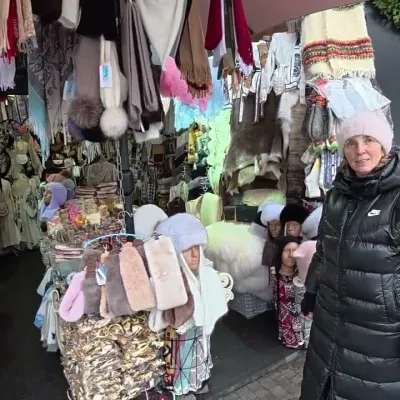 Markets & fairsBukovel Souvenir Market, PolianytsiaPolianytsia (Bukovel)9.4 km from SmyrekaBukovel's souvenir market is a row of shops and stalls right in the centre of Ukraine's largest ski resort, on the territory of Polianytsia village.
Peaks nearby
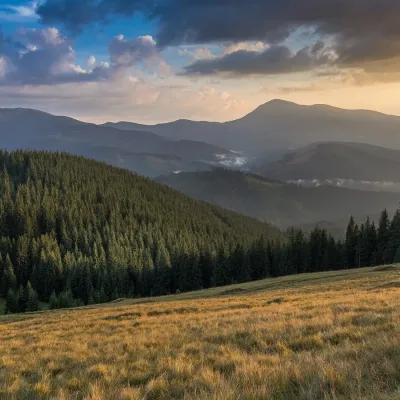 PeakMount Pid-BerdyVoronenkoaltitude 1 388 m · Kukul range8.4 km from SmyrekaPid-Berdy (1388 m) is a summit on the Kukul ridge, a northern spur of Chornohora in the Ukrainian Carpathians.
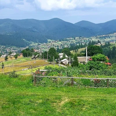 PeakMount OseredokVorokhtaaltitude 915 m · Chornohora range10 km from Smyreka1 trail to the topOseredok is a modest 915 m summit right above Vorokhta (about 2 km), north of the Chornohora range, in Ivano-Frankivsk Oblast.
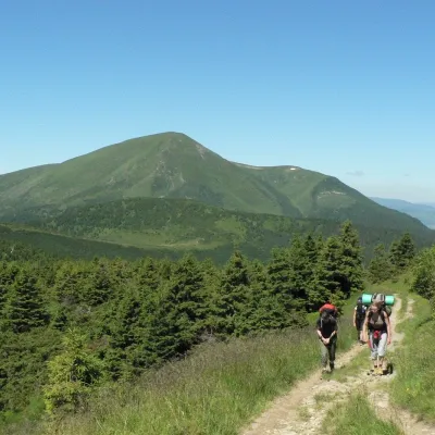 PeakMount PetrosulYasinyaaltitude 1 855 m · Chornohora range10 km from Smyreka91 trails to the topPetrosul is an 1855-meter peak of the Ukrainian Carpathians, which is the "neighboring mountain" of Petros, as it is located "at arm's length" from it (in the northern...
Trails nearby
All trails HardTwo-dayMarkedLazeshchyna village to Mount Hoverlavia KozmeshchykElevation profile697–2 061 m18.3 kmascent 1 366 m≈ 7.5 h walkingunder 1 km from Smyreka
 HardMulti-dayKvasy village to Yasiniavia Mount Petros, Mount Hoverla +2Elevation profile535–2 061 m43.8 kmascent 2 242 munder 1 km from Smyreka
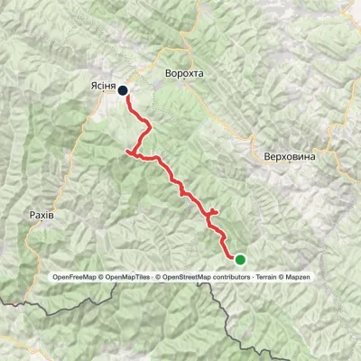 HardMulti-dayMarkedLazeshchyna village, Mount Petros, Mount Hoverla, Mount Dzembronia, Mount Smotrych and Mount Pip Ivan Chornohirskyi to Shybene villageElevation profile697–2 061 m70.2 kmascent 3 268 munder 1 km from Smyreka
