Mount Pid-Berdy
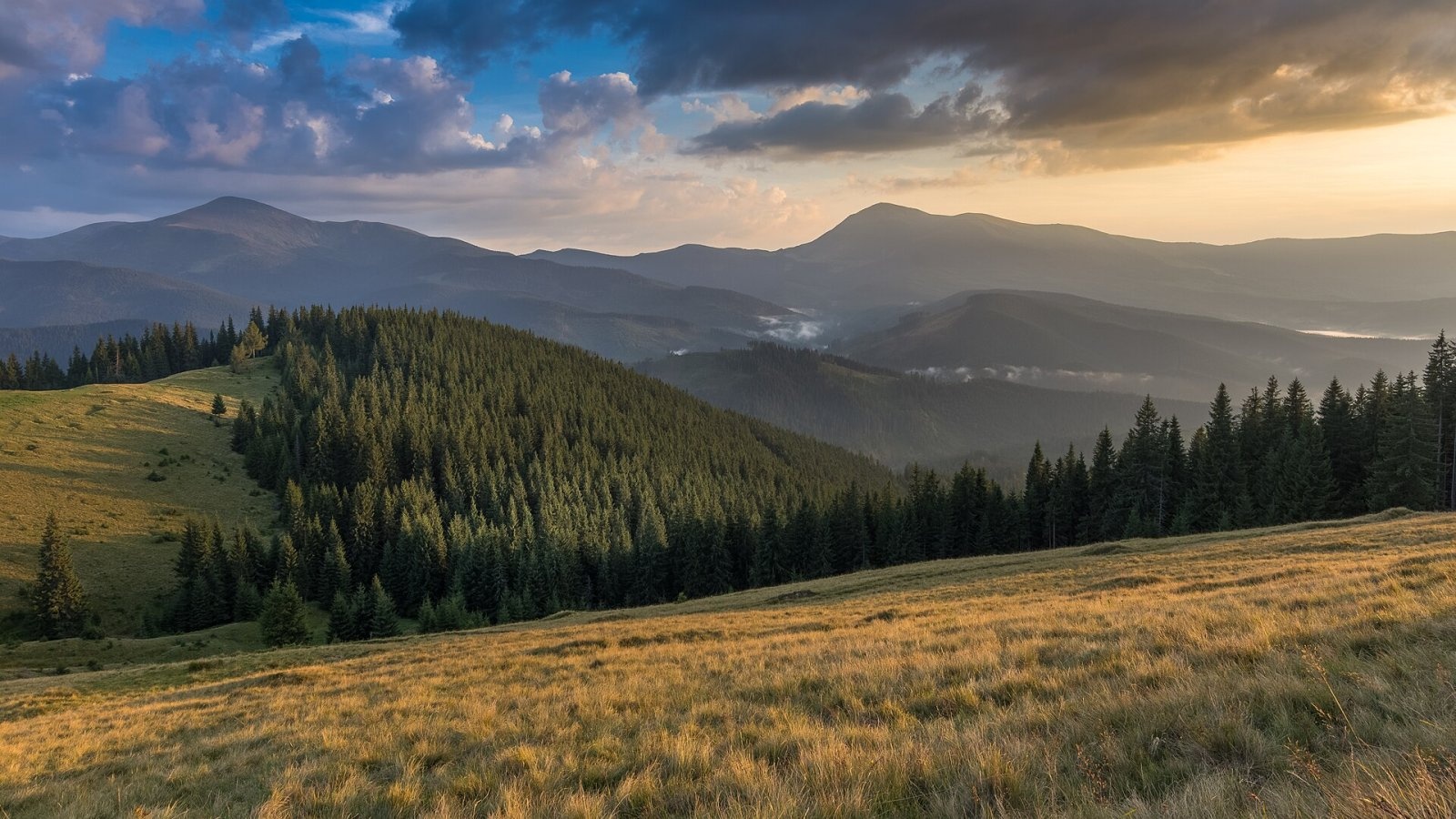
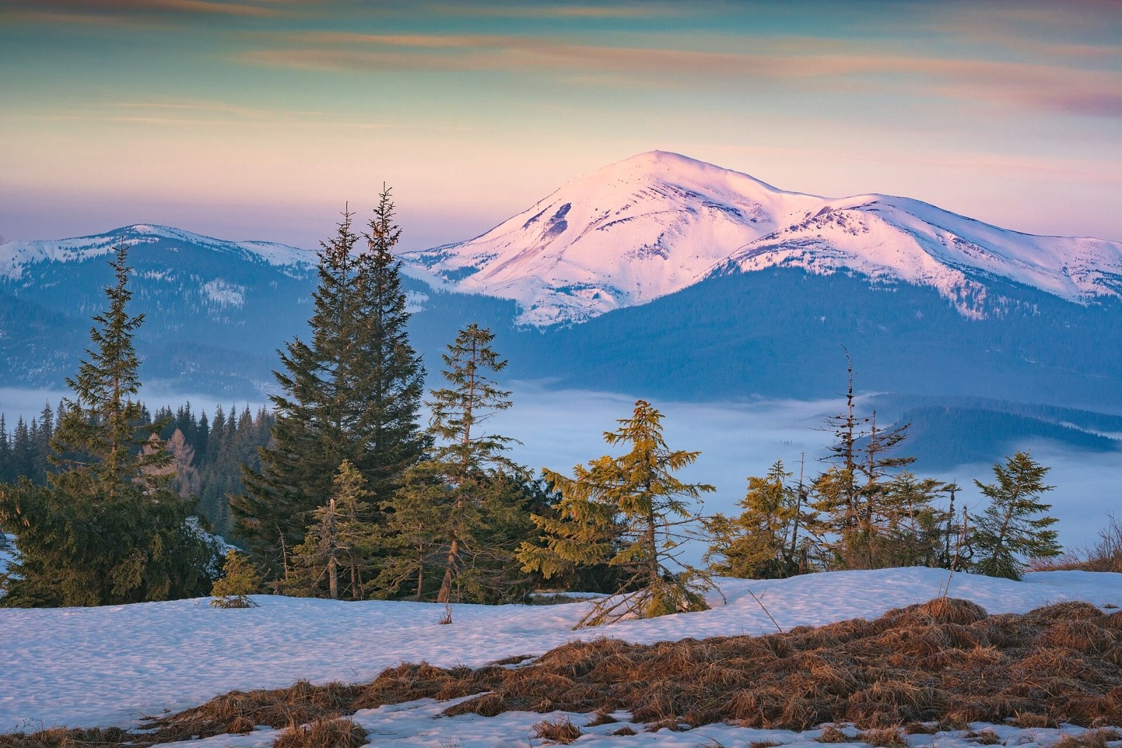
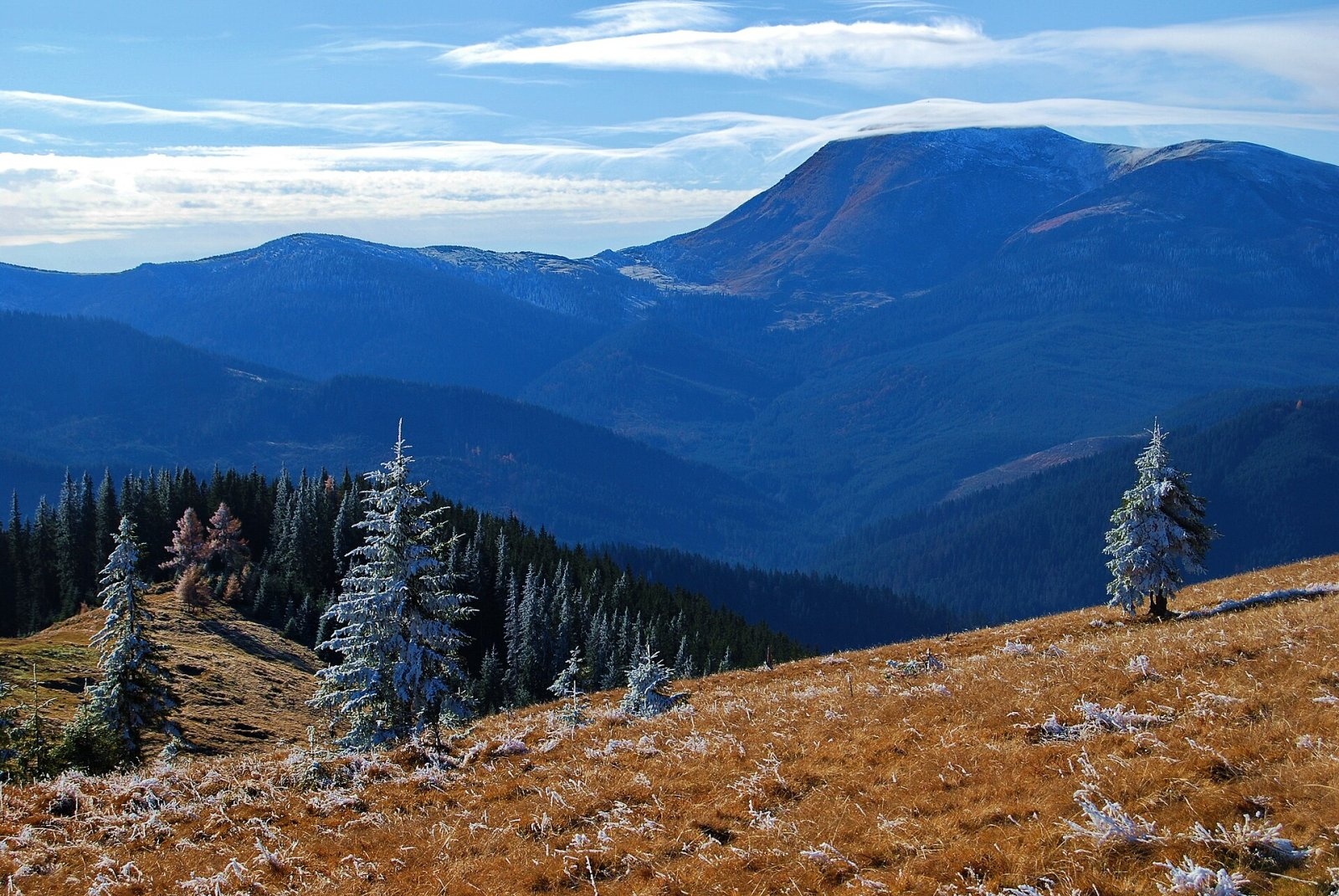
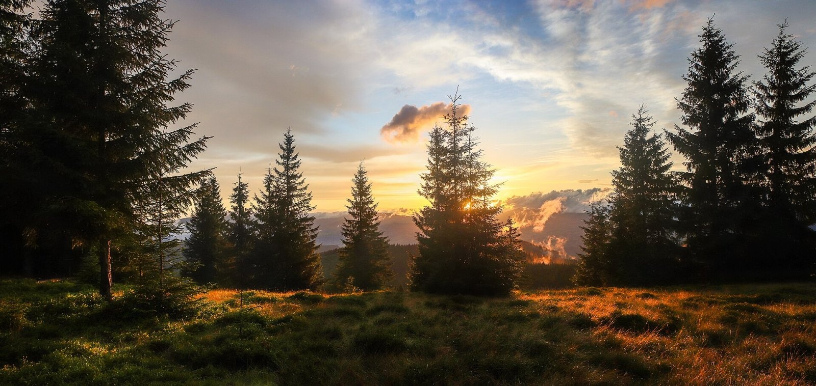
Pid-Berdy (1388 m) is a summit on the Kukul ridge, a northern spur of Chornohora in the Ukrainian Carpathians. It lies in Rakhiv Raion of Zakarpattia Oblast, close to the boundary with Ivano-Frankivsk Oblast, about 5 km south of the village of Voronenko and 7 km south-west of Vorokhta. The top is surrounded by mountain meadows (polonynas), so the peak is valued less for its height than for the wide views of the main Chornohora ridge that open up on the way. Guidebooks also use the spelling «Pid-Berdia».
For most hikers Pid-Berdy is not a goal in itself but a landmark on the way from Voronenko to Kukul (1539 m), which rises 3.7 km to the south-east. Several lower humps sit on the same crest, such as Foresek (1336 m) 1.6 km to the south-east, while Kychera (Vorokhta) stands across the valley to the east.
Getting there / routes
The most convenient approach is from Voronenko. According to Ukrainian Wikipedia, the marked route Voronenko – Kukul runs over Pid-Berdy; it is about 13 km long with roughly 720 m of height difference. On our site this route is described as Voronenko village – Mount Kukul.
Two more marked routes, mapped in OpenStreetMap, pass about 130 m from the summit:
- the yellow Voronenko village – Ozirna polonyna, from Voronenko to the Ozirna meadow;
- the green circular Lazeshchyna – Mount Kukul – Lazeshchyna, maintained by the NGO «Karpatski Stezhky» (Carpathian Trails).
On multi-day trips Pid-Berdy is an intermediate point on the long routes Voronenko village, via Mount Kukul, Mount Hoverla and Mount Pip Ivan Chornohirskyi to Zelene village (via Kukul, Hoverla and Pip Ivan Chornohirskyi to Zelene) and Krasnyk village, via Kostrych ridge and Mount Kukul to Voronenko village (from Krasnyk over the Kostrych ridge). A mountain-bike route Voronenko – Kukul – Prut also follows the ridge.
Water is close by: Spring (Voronenko, 14) lies about 250 m from the summit and is mapped as drinkable, and there are others nearby, for example Spring (Voronenko, 15) and Spring (Voronenko, 12). Shepherds' huts stand 400–550 m away — Hut on Polonyna Hryhorivka. Springs can run low in summer, so carry enough water.
The view from the top
Photographs taken on the summit and right next to it show the main Chornohora ridge with Petros and Hoverla to the south. From the slope a little to the west, Hoverla, Petros and the Svydovets massif fit into one frame. Closer by, the bulky Kukul rises to the south-east, and Voronenko lies in the valley to the north. Our sources do not list other peaks visible in clear weather, so we do not guess.
Nature and history
Pid-Berdy sits among the meadows of the Kukul ridge, where traditional upland herding is still practised. According to Wikipedia, about fifty cows graze on the neighbouring Kukul meadow in summer, and the herders make Hutsul cheeses — budz, brynza and vurda. In spring, as soon as the snow melts, the slopes near the summit fill with Heuffel's crocus; it has been photographed here several times for the Wiki Loves Earth contest.
The Kukul ridge also carries memories of the First World War. On Kukul itself there is a cemetery of German soldiers, concrete fortifications and the remains of a Hungarian battery — you can see them if you continue from Pid-Berdy towards Kukul.
Safety, season and rules
Pid-Berdy is a low and technically easy summit, but it is exposed to the wind. The best season is from late May to October. Thunderstorms are common over the meadows in summer: if one approaches, descend to the forest quickly and do not stay on the crest. In winter and early spring the slopes are snow-covered, and in fog it is easy to lose the path on the open meadows, so carry an offline map.
Cows and sheep graze on the meadows, guarded by shepherd dogs: give the herds a wide berth. Take your litter with you and light fires only at established fireplaces. In an emergency call 112 or 101 — the mountain rescuers of the State Emergency Service; contacts of the nearest units are on the page mountain rescue.
Photos: Eugene Stolyarov, CC BY-SA 4.0; Vian, CC BY-SA 4.0; Valentin Lupul, CC BY 3.0; Pafnutevich, CC BY-SA 4.0 — Wikimedia Commons.
Location on the map
Water and shelter nearby
- Spring (Voronenko, 15)150 m · Not verified · 1 362 m
- Spring (Voronenko, 14)240 m · Not verified · 1 341 m
- Spring (Voronenko, 13)250 m · Not verified · 1 330 m
- Spring (Voronenko, 11)310 m · Not verified · 1 318 m
- Spring (Voronenko, 12)320 m · Not verified · 1 311 m
- Hut on Polonyna Hryhorivka430 m · Standing · 1 314 m
- Hut on Polonyna Hryhorivka (2)550 m · Standing · 1 305 m
- Spring below Mount Kukul (5)1.5 km · Not verified · 1 340 m
- Spring below Mount Kukul (6)1.5 km · Not verified · 1 350 m
- Hut on Polonyna Serednia1.5 km · Standing · 1 336 m
- Spring (Voronenko, 9)2 km · Not verified · 1 146 m
- Hut (Voronenko, 3)2.1 km · Not verified · 1 150 m
- Hut (Voronenko, 4)2.1 km · Not verified · 1 152 m
- Hut (Voronenko)2.1 km · Not verified · 1 152 m
- Hut on Polonyna Lomparivka2.5 km · Not verified · 946 m
- Shepherds' hut on Polonyna Ozirna2.5 km · Standing · 1 355 m
Comments
Places to stay nearby
All stays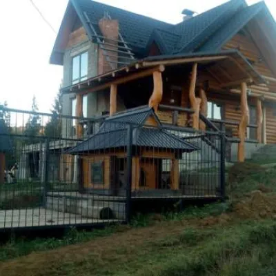 HomesteadHomestead "Dykyi Zrub" VorokhtaVorokhta5.8 km from Mount Pid-BerdySaunaFireplaceKitchenNearby: Austrian viaduct bridge 1.7 kmPolonyna Borsuchyna 4.0 km14 trails
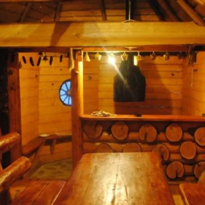 HomesteadHomestead "Topirets" VorokhtaVorokhta6.1 km from Mount Pid-BerdySaunaBBQKitchenNearby: Austrian viaduct bridge 400 mMt Magura 3.9 km15 trails
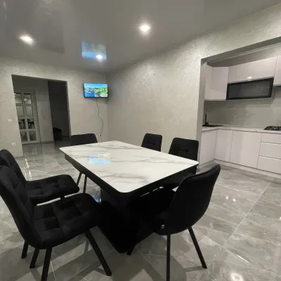 CottageCottage AzaliyaVyshkovo7.3 km from Mount Pid-BerdyThe Cottage Azaliya is located in the Zakarpattia region, Lazeshchyna, 14 km from Mount Hoverla and 9 km from Mount Petros.Nearby: Church of the Transfiguration 2.8 kmMt Petrosul 9.7 km31 trails
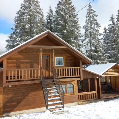 CottageOn the MountainVorokhta7.5 km from Mount Pid-BerdyBBQKitchenWi‑FiNearby: Austrian viaduct bridge 2.5 kmPolonyna Borsuchyna 5.3 km8 trails
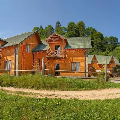 HotelHotel "Oberig" VorokhtaVorokhta6.6 km from Mount Pid-BerdyHot tubSaunaSPANearby: Austrian viaduct bridge 700 mMt Magura 3.7 km15 trails
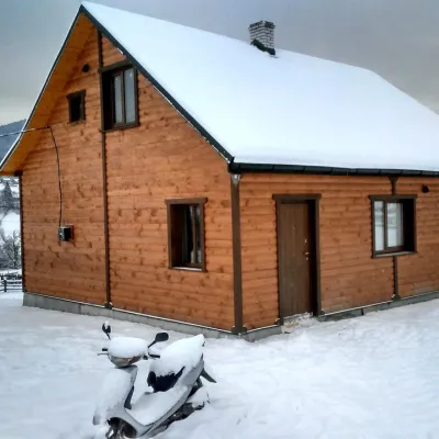 CottageCottage "Ozernyi" LazeshchynaLazeshchyna6.7 km from Mount Pid-BerdySaunaBBQKitchenNearby: Church of the Transfiguration 3.3 kmMt Petrosul 8.4 km32 trails
Trails nearby
All trails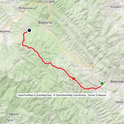 HardMulti-dayKrasnyk village to Voronenko villagevia Kostrych ridge, Mount KukulElevation profile637–1 584 m39.2 kmascent 1 852 m≈ 13.5 h walkingunder 1 km from Mount Pid-Berdy
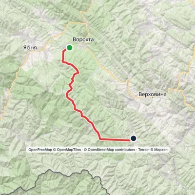 HardMulti-dayVoronenko village to Zelene villagevia Mount Kukul, Mount Hoverla +1Elevation profile773–2 051 m46.9 kmascent 3 255 munder 1 km from Mount Pid-Berdy
 HardMulti-dayMarkedVoronenko village to Vorokhtavia Mount KukulElevation profile747–1 539 m25.2 kmascent 589 m≈ 7.5 h walkingunder 1 km from Mount Pid-Berdy
Nearby attractions
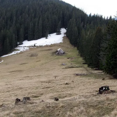 Mountain meadowPolonyna Bukovyna (Kukul Ridge)Voronenkoaltitude 1 150 m2.1 km from Mount Pid-BerdyPolonyna Bukovyna, often called Bukovynka, lies on the north-western section of the Kukul ridge, south of Vorokhta and close to the village of Voronenko in Nadvirna...
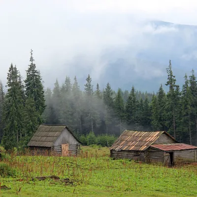 Mountain meadowPolonyna Kukul (Kukul), VoronenkoVoronenkoaltitude 1 440 m3.2 km from Mount Pid-BerdyPolonyna Kukul is a mountain meadow in the Ukrainian Carpathians, within the Kukul ridge (Kukul mountain - 1539 m), administratively located within the Zakarpattia...
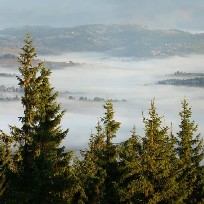 PeakMount KukulVorokhtaaltitude 1 539 m3.8 km from Mount Pid-Berdy20 trails to the topKukul (another name - Kukul) is a 1539-meter peak in the Ukrainian Carpathians, which is located in the northern direction of the Chornohora mountain range.
Craft nearby
All craft places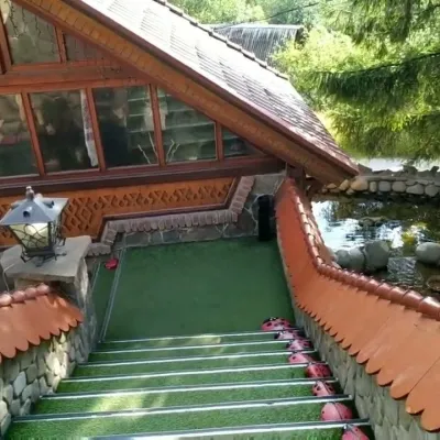 Koliby & Hutsul cuisineStara Vorokhta Restaurant, VorokhtaVorokhta7 km from Mount Pid-BerdyStara Vorokhta restaurant ("Old Vorokhta") is one of the best-known places for Hutsul food in Vorokhta: on Google Maps it is rated 4.6 from more than 6,300 reviews, a...
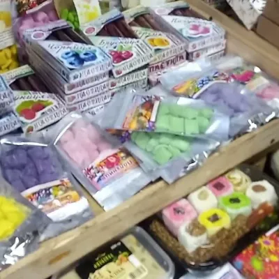 Markets & fairsSouvenir Bazaar by the Ski Jumps, VorokhtaVorokhta8.4 km from Mount Pid-BerdyThe souvenir bazaar in Vorokhta is one of the busiest little trading spots in the mountain Hutsul region.
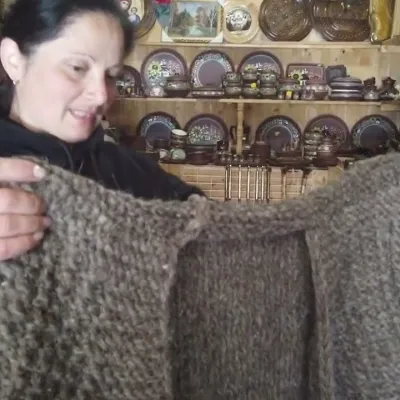 Markets & fairsSouvenir Market on the Yablunytsia Pass, YablunytsiaYablunytsia8.5 km from Mount Pid-BerdyThe souvenir market on the Yablunytsia Pass is one of the best-known roadside bazaars in the Carpathians.
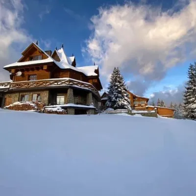 Koliby & Hutsul cuisineVysokyi Pereval Koliba, YablunytsiaYablunytsia9.4 km from Mount Pid-BerdyVysokyi Pereval Koliba ("High Pass") stands in Yablunytsia, on the new road to Bukovel, in the Horishkiv area.
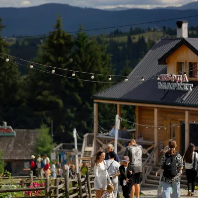 Mountain meadowPolonyna Pertsi Ethno Park, YablunytsiaYablunytsiaaltitude 940 m · Kukul range9.4 km from Mount Pid-BerdyPolonyna Pertsi (“Pepper Meadow”) is an ethno park of Hutsul traditions in Yablunytsia, close to the Yablunytsia Pass.
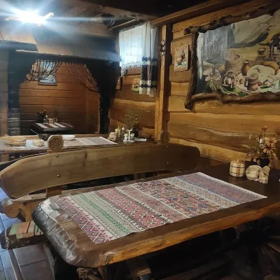 Koliby & Hutsul cuisineU Rizbaria Café, YasiniaYasinya11 km from Mount Pid-BerdyU Rizbaria Café (“At the Woodcarver’s”) in Yasinia is a small Hutsul place serving home cooking that travellers usually find by word of mouth.
