Poprad – Zámčisko
Trail map
Route, springs and shelters: © OpenStreetMap contributors (ODbL) · elevation: Copernicus DEM © DLR e.V., © Airbus DS · Data & licences
About the trail
Route Poprad – Zámčisko. Has green marking (regional route №5730, KST). Waymarking data: OpenStreetMap (© OpenStreetMap contributors, ODbL).
Officially marked regional tourist route No. 5730. The marking is green, the sign is a horizontal stripe on a white background. Marked and maintained by: KST. Length of the route — 9.7 km. Location: mountain range — Low Tatras, Slovakia.
At a glance
A one-day route of 9.7 km with 351 m of ascent from Poprad to Zámčisko. Estimated walking time: about 3 h, not counting stops. Difficulty: easy. Waymarking: green.
How we estimate walking time
By Naismith's rule, used by mountain clubs and guidebooks: an average hiker walks 4 km an hour on the flat and needs one more hour for every 600 m of ascent. For this trail: 9.7 km ÷ 4 = 2.4 h + 351 m ÷ 600 = 0.6 h, about 3 h of walking in total.
- Breaks, snacks and photos: add 20–30 %.
- A heavy pack, children, snow, a wet path or windfall add more; a long steep descent also takes time, especially for the knees.
- The height of the Carpathians (up to 2,655 m) hardly changes the pace — on the ridges wind, fog and weather slow you down.
- Limits: up to 9 h is one day; 9–13 h is a very long day or two; over 13 h means several days with overnight stays.
Route stages
- 0–5.5 kmGentle ups and downs at 630–700 m
- 5.5–8 kmClimb of 150 m (up to 785 m)
- 8–8.5 kmGentle ups and downs at 750–790 m
- 8.5–9.5 kmClimb of 150 m (up to 911 m)
Steepest kilometre: km 8.5–9.5, a climb of 150 m (≈16%).
Water and overnight stays
A spring near the trail: at km 5.
When to go
The route can be walked most of the year; it is most comfortable from April to October.
Getting there
Start: Poprad. This is a one-way route: the finish is 5 km from the start in a straight line, so plan your way back in advance.
FAQ
- How long does the route take?
- Estimated walking time: about 3 h, not counting stops.
- Is there water on the route?
- A spring near the trail: at km 5.
Water and shelter on the route
- Tap under Grigerová Gardenkm 5.2 from the start · Not verified · 633 m
Comments and trail condition
Travellers’ experience: reports, tips, questions.
No one has reported on this trail yet. Been here lately? Tell others what it is like now.
Wildlife along the route
All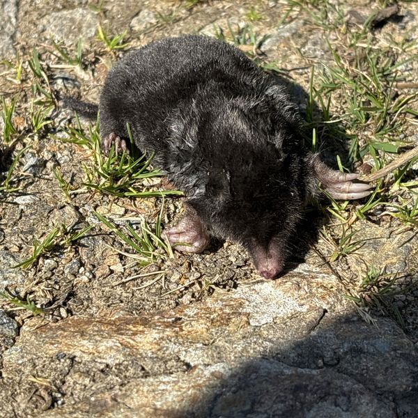
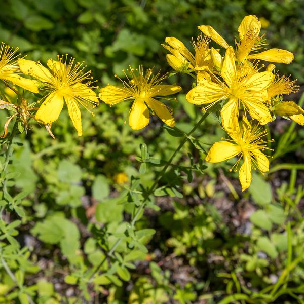
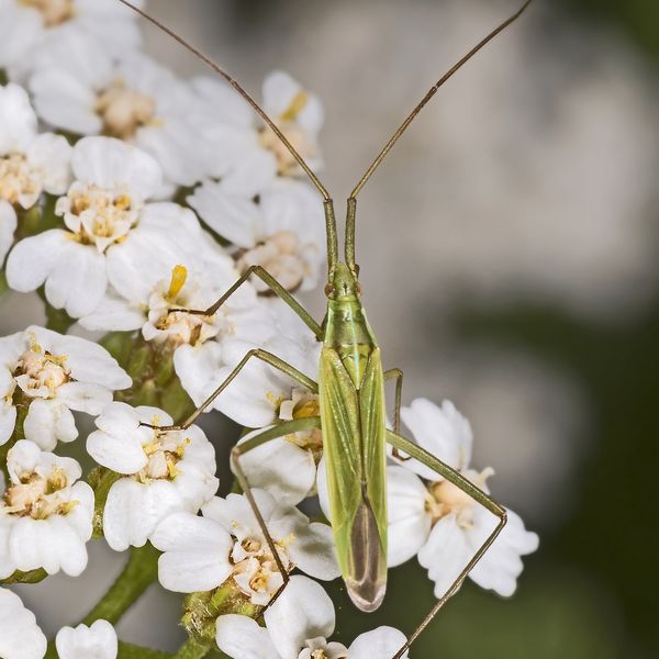
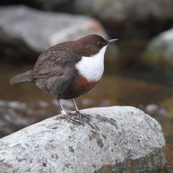
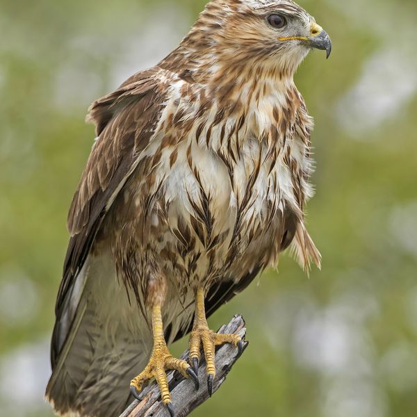
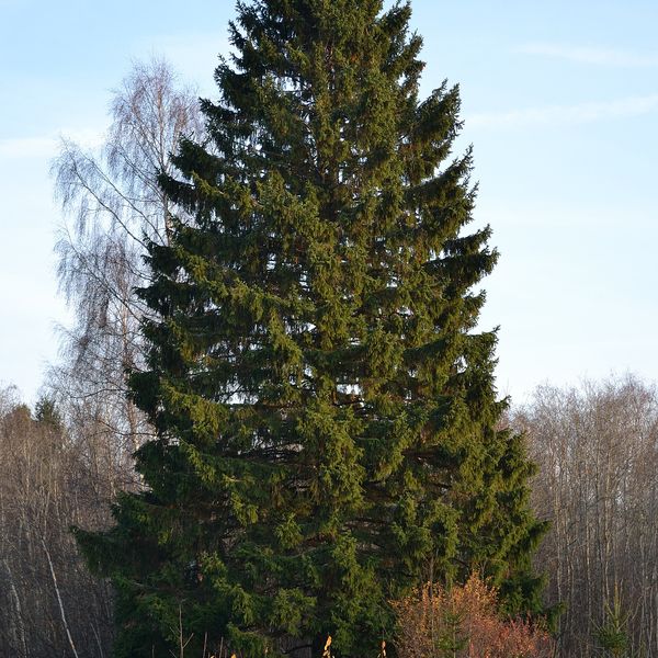
Based on naturalists’ records nearby (GBIF, iNaturalist), matched by altitude, habitat and season. Sightings are not guaranteed.
Trails nearby
All trails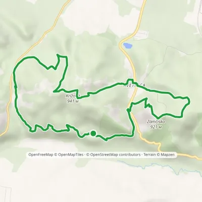 ModerateOne-dayMarkedKvetnica loopvia ZámčiskoElevation profile671–941 m13.3 kmascent 520 m≈ 4 h walking
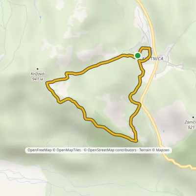 EasyOne-dayMarkedKvetnica forest park loopElevation profile736–924 m4.1 kmascent 188 m≈ 1.5 h walking
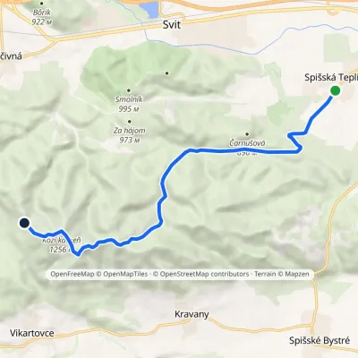 ModerateOne-dayMarkedSpišská Teplica Sedlo TabličkyElevation profile698–1 256 m10.8 kmascent 600 m≈ 3.5 h walking
Craft nearby
All craft places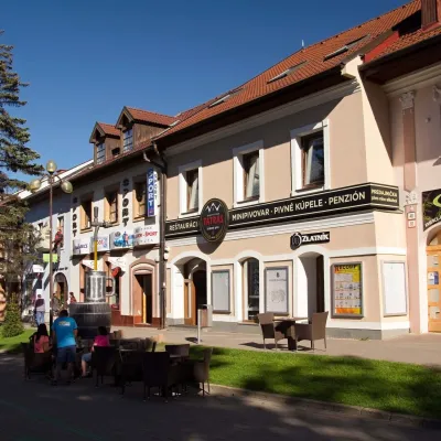 Craft beer & breweriesMinipivovar TATRAS, PopradPopradunder 1 km from the trailMinipivovar TATRAS is a brewpub on Poprad’s main square, Námestie sv. Egídia, housed in a building with a long brewing history.
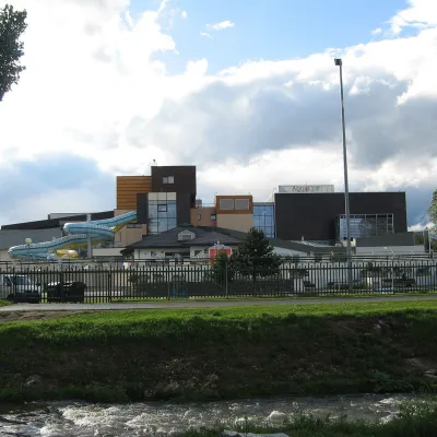 Water parks & thermal poolsAquaCity Poprad water parkPopradunder 1 km from the trailAquaCity Poprad is a large year-round water park and wellness complex in the town of Poprad, a few minutes from the centre; according to the complex, the High Tatras...
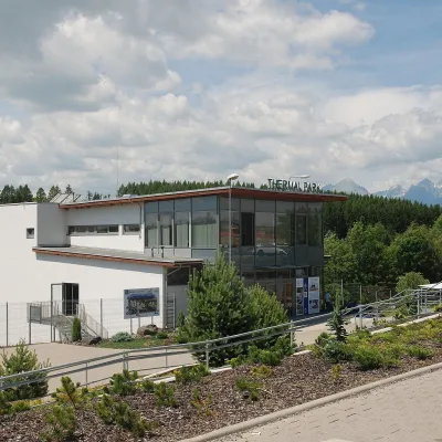 Water parks & thermal poolsThermal Park VrbovVrbov9.7 km from the trailThermal Park Vrbov is one of the best-known thermal baths in the Spiš region, on the southern edge of the village of Vrbov, about 6 km (as the crow flies) from...
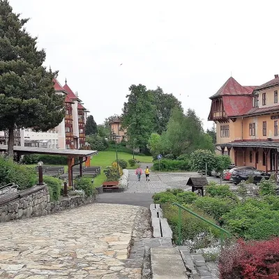 Water parks & thermal poolsClimatic spas of the High Tatras: Nový Smokovec, Polianka, KotlinaVysoké Tatry10 km from the trailNový Smokovec is the best known of the climatic spas of the High Tatras. It grew up in a spruce forest at about 1010 m, south-west of Starý Smokovec, with which it...
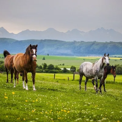 Horse ridingRanč u Trapera, Podlesok: Horse Rides in the Slovak ParadiseHrabušice12 km from the trailA little away from the main tourist bustle, below the forest, stands the family-run Ranč u Trapera, run by the Salaj family.
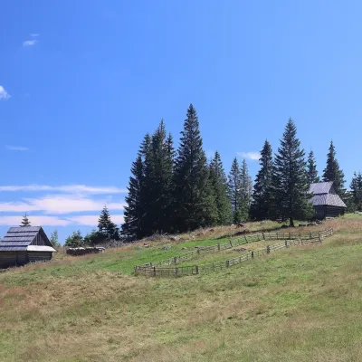 Cheese dairies & pasturesShepherd's Hut on Rusinowa PolanaBrzegi27 km from the trailRusinowa Polana is one of the most beautiful mountain glades in the Polish Tatras, and from May to October it is home to the bacówka (shepherd's hut) of baca Stanisław...
