Kvetnicaloop, via Zámčisko
Trail map
Route, springs and shelters: © OpenStreetMap contributors (ODbL) · elevation: Copernicus DEM © DLR e.V., © Airbus DS · Data & licences
About the trail
Route Kvetnica – Zámčisko – Kvetnica. Has green marking (local route №9803N, KST). Waymarking data: OpenStreetMap (© OpenStreetMap contributors, ODbL).
Officially marked local tourist route No. 9803N. The marking is green, the sign is a diagonal stripe on a white background. Marked and maintained by: KST. The length of the route is 13.3 km, the route is circular. Location: mountain range – Low Tatras, Slovakia.
At a glance
A one-day loop route of 13.3 km with 520 m of ascent, starting and finishing at Kvetnica. Estimated walking time: about 4 h, not counting stops. Difficulty: moderate. Waymarking: green.
Route stages
- 0–2 kmGentle ups and downs at 680–770 m
- 2–3 kmClimb of 140 m (up to 907 m)
- 3–5 kmDescent of 160 m (down to 741 m)
- 5–7 kmClimb of 190 m to Krížová (941 m)
- 7–8 kmDescent of 150 m (down to 780 m)
- 8–13 kmGentle ups and downs at 700–790 m
Steepest kilometre: km 2–3, a climb of 160 m (≈16%).
Water and overnight stays
Springs near the trail: at km 6, 9, 10 and 13.
When to go
The route can be walked most of the year; it is most comfortable from April to October.
Getting there
Start: Kvetnica. This is a loop: it brings you back to the start.
FAQ
- How long does the route take?
- Estimated walking time: about 4 h, not counting stops.
- Is there water on the route?
- Springs near the trail: at km 6, 9, 10 and 13.
Water and shelter on the route
- Spring below Malé Zámčiskokm 5.7 from the start · 70 m off the path · Not verified · 786 m
- Spring below Krížová (east slope)km 6.3 from the start · Not verified · 879 m
- Drinking water below Krížovákm 8.9 from the start · Not verified · 797 m
- Spring below Krížová (west slope)km 10.5 from the start · 120 m off the path · Not verified · 779 m
- Spring below Krížová (south slope)km 12.8 from the start · 140 m off the path · Not verified · 745 m
Comments
Trails nearby
All trails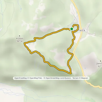 EasyOne-dayMarkedKvetnica forest park loopElevation profile736–924 m4.1 kmascent 188 m≈ 1.5 h walking
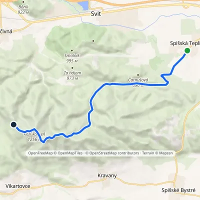 ModerateOne-dayMarkedSpišská Teplica Sedlo TabličkyElevation profile698–1 256 m10.8 kmascent 600 m≈ 4 h walking
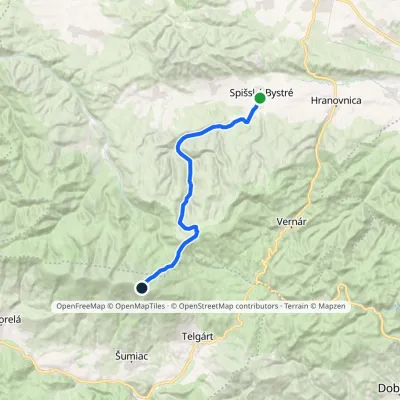 HardTwo-dayMarkedSpišské Bystré Kráľova hoľaElevation profile670–1 941 m19.6 kmascent 1 342 m≈ 7.5 h walking
Craft nearby
All craft places Craft beer & breweriesMinipivovar TATRAS, PopradPoprad5.6 km from the trailMinipivovar TATRAS is a brewpub on Poprad’s main square, Námestie sv. Egídia, housed in a building with a long brewing history.
 Water parks & thermal poolsAquaCity Poprad water parkPoprad6.4 km from the trailAquaCity Poprad is a large year-round water park and wellness complex in the town of Poprad, a few minutes from the centre; according to the complex, the High Tatras...
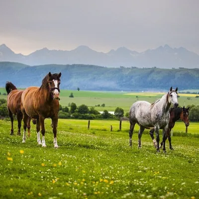 Horse ridingRanč u Trapera, Podlesok: Horse Rides in the Slovak ParadiseHrabušice8.9 km from the trailA little away from the main tourist bustle, below the forest, stands the family-run Ranč u Trapera, run by the Salaj family.
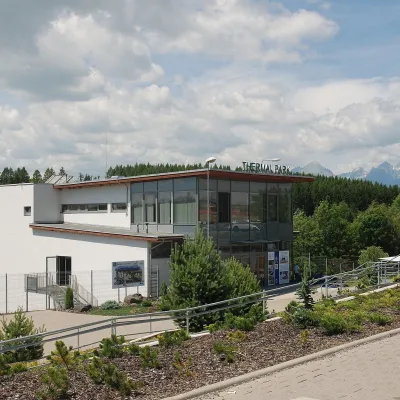 Water parks & thermal poolsThermal Park VrbovVrbov14 km from the trailThermal Park Vrbov is one of the best-known thermal baths in the Spiš region, on the southern edge of the village of Vrbov, about 6 km (as the crow flies) from...
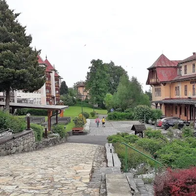 Water parks & thermal poolsClimatic spas of the High Tatras: Nový Smokovec, Polianka, KotlinaVysoké Tatry15 km from the trailNový Smokovec is the best known of the climatic spas of the High Tatras. It grew up in a spruce forest at about 1010 m, south-west of Starý Smokovec, with which it...
 Horse ridingKone vo Východnej: horse rides below the TatrasVýchodná27 km from the trailKone vo Východnej (“Horses in Východná”) is a small family horse farm on the meadows above the village of Východná in upper Liptov, with a sweeping view of the High...
