Prešov, Za kalváriou – Radatice junction
Trail map
Route, springs and shelters: © OpenStreetMap contributors (ODbL) · elevation: Copernicus DEM © DLR e.V., © Airbus DS · Data & licences
About the trail
Route Prešov, Za kalváriou – Radatice junction. Has green marking (regional route №5701, KST). Waymarking data: OpenStreetMap (© OpenStreetMap contributors, ODbL).
Officially marked regional tourist route No. 5701. The marking is green, the sign is a horizontal stripe on a white background. Marked and maintained by: KST. Length of the route — 4 km. Location: mountain range — Čergov, Slovakia.
At a glance
A short route of 4 km with 240 m of ascent from Prešov, Za kalváriou to Radatice junction. Estimated walking time: about 1.5 h, not counting stops. Difficulty: easy. Waymarking: green.
How we estimate walking time
By Naismith's rule, used by mountain clubs and guidebooks: an average hiker walks 4 km an hour on the flat and needs one more hour for every 600 m of ascent. For this trail: 4 km ÷ 4 = 1 h + 240 m ÷ 600 = 0.4 h, about 1.5 h of walking in total.
- Breaks, snacks and photos: add 20–30 %.
- A heavy pack, children, snow, a wet path or windfall add more; a long steep descent also takes time, especially for the knees.
- The height of the Carpathians (up to 2,655 m) hardly changes the pace — on the ridges wind, fog and weather slow you down.
- Limits: up to 9 h is one day; 9–13 h is a very long day or two; over 13 h means several days with overnight stays.
Route stages
- 0–2.5 kmClimb of 220 m (up to 478 m)
- 2.5–4 kmDescent of 120 m to Radatice junction
Steepest kilometre: km 1.5–2.5, a climb of 130 m (≈13%).
Water and overnight stays
Springs near the trail: at km 0 and 4.
Huts and shelters near the trail: Kvašná voda Hut (km 4).
When to go
The route can be walked most of the year; it is most comfortable from April to October.
Getting there
Start: Prešov, Za kalváriou. This is a one-way route: the finish is 3 km from the start in a straight line, so plan your way back in advance.
FAQ
- How long does the route take?
- Estimated walking time: about 1.5 h, not counting stops.
- Is there water on the route?
- Springs near the trail: at km 0 and 4.
- Where can I stay overnight?
- Huts and shelters near the trail: Kvašná voda Hut (km 4).
Water and shelter on the route
- Spring (Prešov)km 0 from the start · 230 m off the path · Not verified · 271 m
- Kvašna voda Springkm 3.9 from the start · Not verified · 343 m
- Kvašná voda Hutkm 4 from the start · 150 m off the path · Not verified · 360 m
Comments and trail condition
Travellers’ experience: reports, tips, questions.
No one has reported on this trail yet. Been here lately? Tell others what it is like now.
Wildlife along the route
All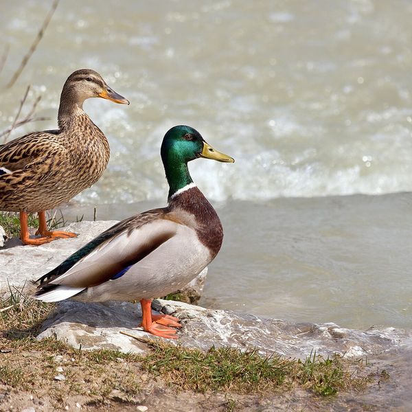
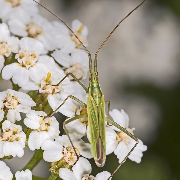
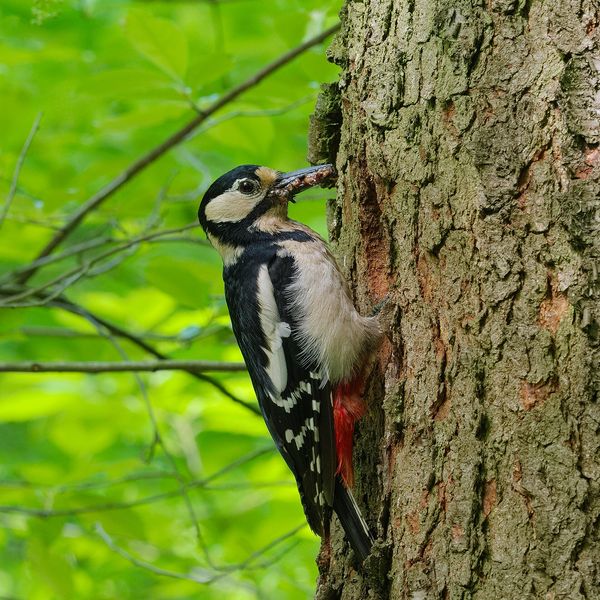
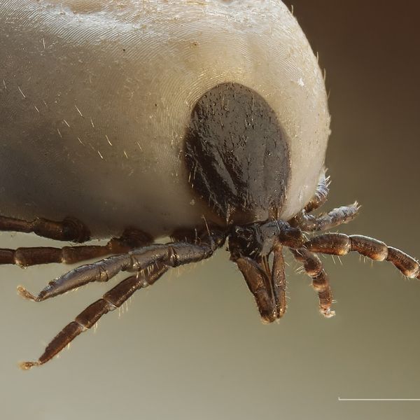
Based on naturalists’ records nearby (GBIF, iNaturalist), matched by altitude, habitat and season. Sightings are not guaranteed.
Trails nearby
All trails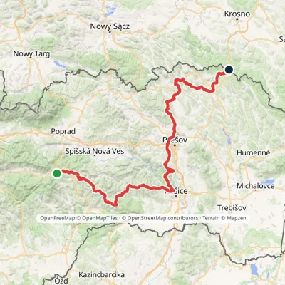 HardMulti-dayMarkedPred Čuntavou Dukliansky PassElevation profile227–1 293 m280.7 kmascent 8 346 m
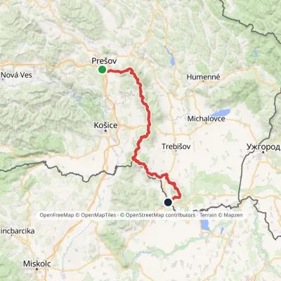 HardMulti-dayMarkedPrešov, Za kalváriou Slovenské Nové MestoElevation profile102–1 077 m135.8 kmascent 3 494 m
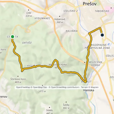 ModerateOne-dayMarkedPrešov Cemjata mineral springElevation profile237–502 m12 kmascent 355 m≈ 3.5 h walking
Craft nearby
All craft places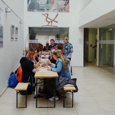 Crafts & workshopsÚĽUV Craft Centre Košice: craft workshops and folk-art shopBaška29 km from the trailÚĽUV (Ústredie ľudovej umeleckej výroby, the Centre for Folk Art Production) is a state institution that has looked after Slovak folk crafts since 1945: it keeps a...
 Crafts & workshopsMacák Pottery on Košice’s Craft Lane: ceramics and coursesHrašovík29 km from the trailHrnčiarska Street in Košice old town is known as the "Craft Lane" (Ulička remesiel): craftspeople work in small houses below the walls of the former town fortifications.
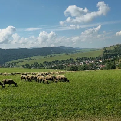 Cheese dairies & pasturesFarma Kamenica — Family Sheep Farm and Cheese Dairy in ŠarišKamenica31 km from the trailKamenica is a village in northern Šariš, in the valley of the Kameničanka stream, at about 483 m above sea level.
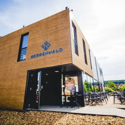 Craft beer & breweriesHerrenwald craft brewery, Malá Ida: tour with the brewerMalá Ida34 km from the trailThe Herrenwald brewery stands in its Panský les ("Lords’ Wood") quarter, from whose German name it takes its own.
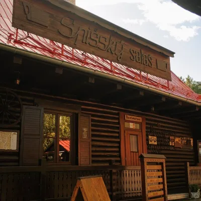 Koliby & Hutsul cuisineSpišský salaš below Spiš Castle: Spiš cooking since 1964Spišská Kapitula36 km from the trailBetween Spiš Castle and Spišská Kapitula, at the edge of the plain below the travertine mound of Sivá brada, stands the wooden Spišský salaš.
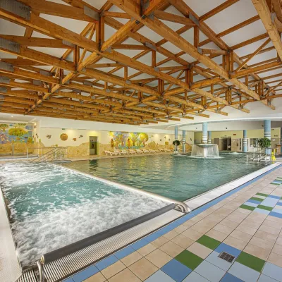 Water parks & thermal poolsBardejovské Kúpele: Wellness Spa Ozón and summer poolBardejov38 km from the trailBardejovské Kúpele is one of Slovakia’s oldest spas, a part of the town of Bardejov about 5 km from its centre, in a valley under the Magura massif that shelters it...
