Main Trail of Beskidy
Trail map
Route, springs and shelters: © OpenStreetMap contributors (ODbL) · elevation: Copernicus DEM © DLR e.V., © Airbus DS · Data & licences
About the trail
Route Main Trail of Beskidy. Has red marking (national route №GSB, PTTK). Waymarking data: OpenStreetMap (© OpenStreetMap contributors, ODbL).
Officially marked national tourist route No. GSB. The marking is red, the sign is a horizontal stripe on a white background. Marked and maintained by: PTTK. Length of the route — 499.9 km. Location: mountain range — Bieszczady, Poland. Part of the routes passes through Bieszczady National Park: entrance is paid, leaving the trails is prohibited.
At a glance
A multi-day route of 499.9 km with 19,519 m of ascent. Estimated time: 22 days of 6–9 h of walking (about 157.5 h in total, not counting stops). Difficulty: hard. Waymarking: red.
Route stages
- 0–105 kmGentle ups and downs at 350–1,710 m, past Marszałkowa, Palenica, Tanecznik, Babia Góra
- 105–132 kmDescent of 1,270 m (down to 441 m)
- 132–198 kmGentle ups and downs at 420–1,310 m, past Groniki, Rozdziele, Turbacz, Lubań
- 198–215 kmClimb of 820 m to Radziejowa (1,266 m)
- 215–227 kmDescent of 890 m to PTTK Inn under Roztoka
- 227–500 kmGentle ups and downs at 310–1,320 m, past Kruhly Wierch, Wierszek Jeleni, Halicz, Rozsypaniec
Steepest kilometre: km 9–10, a climb of 280 m (≈27%).
Water and overnight stays
Springs near the trail: at km 1, 3, 34, 37, 39, 45, 48, 52, 67 and 72 etc.. There are no springs between km 390 and 471 — carry at least 13.5 l of water. Some springs run low or dry up in late summer.
Huts and shelters near the trail: Soszów Hut (km 16), Stożek PTTK Hut (km 21), Mountain hut below Beskidek (km 33), Przysłop pod Baranią Górą PTTK Hut (km 37), Bacówka Shelter, 1 034 m (km 41), Abrahamów Tourist Station (km 61), Słowianka Tourist Station (km 63), Rysianka Hut (km 69) etc..
A possible split into days:
- Day 1: km 0–21, ≈7.5 h — overnight: Stożek PTTK Hut (hut)
- Day 2: km 21–41, ≈6.5 h — overnight: Bacówka Shelter, 1 034 m (hut)
- Day 3: km 41–63, ≈6.5 h — overnight: Słowianka Tourist Station (hut)
- Day 4: km 63–88, ≈8 h — overnight: no shelter nearby on the map, bring a tent
- Day 5: km 88–108, ≈7 h — overnight: no shelter nearby on the map, bring a tent
- Day 6: km 108–133, ≈7 h — overnight: no shelter nearby on the map, bring a tent
- Day 7: km 133–155, ≈7 h — overnight: PTTK Hut on Maciejowa (hut)
- Day 8: km 155–180, ≈7.5 h — overnight: no shelter nearby on the map, bring a tent
- Day 9: km 180–203, ≈7 h — overnight: no shelter nearby on the map, bring a tent
- Day 10: km 203–226, ≈7 h — overnight: PTTK Inn under Roztoka (hut)
- Day 11: km 226–248, ≈7.5 h — overnight: no shelter nearby on the map, bring a tent
- Day 12: km 248–273, ≈7.5 h — overnight: Lipka Shelter (hut)
- Day 13: km 273–294, ≈7 h — overnight: no shelter nearby on the map, bring a tent
- Day 14: km 294–318, ≈7 h — overnight: no shelter nearby on the map, bring a tent
- Day 15: km 318–341, ≈7 h — overnight: no shelter nearby on the map, bring a tent
- Day 16: km 341–364, ≈7 h — overnight: no shelter nearby on the map, bring a tent
- Day 17: km 364–387, ≈7 h — overnight: no shelter nearby on the map, bring a tent
- Day 18: km 387–412, ≈7 h — overnight: no shelter nearby on the map, bring a tent
- Day 19: km 412–435, ≈7.5 h — overnight: Bacówka pod Honem (hut)
- Day 20: km 435–457, ≈7 h — overnight: no shelter nearby on the map, bring a tent
- Day 21: km 457–478, ≈7 h — overnight: no shelter nearby on the map, bring a tent
- Day 22: km 478–500, ≈7 h — finish
When to go
Best time: June to September. In winter only for experienced hikers with proper gear: avalanche danger is possible. About 4 km of the route runs above 1,500 m, where the weather changes quickly — check the forecast.
Getting there
This is a one-way route: the finish is 289 km from the start in a straight line, so plan your way back in advance.
FAQ
- How long does the route take?
- Estimated time: 22 days of 6–9 h of walking (about 157.5 h in total, not counting stops).
- Is there water on the route?
- Springs near the trail: at km 1, 3, 34, 37, 39, 45, 48, 52, 67 and 72 etc.. There are no springs between km 390 and 471 — carry at least 13.5 l of water. Some springs run low or dry up in late summer.
- Where can I stay overnight?
- Huts and shelters near the trail: Soszów Hut (km 16), Stożek PTTK Hut (km 21), Mountain hut below Beskidek (km 33), Przysłop pod Baranią Górą PTTK Hut (km 37), Bacówka Shelter, 1 034 m (km 41), Abrahamów Tourist Station (km 61), Słowianka Tourist Station (km 63), Rysianka Hut (km 69) etc.. Possible overnight stops: Stożek PTTK Hut (km 21), Bacówka Shelter, 1 034 m (km 41), Słowianka Tourist Station (km 63), PTTK Hut on Maciejowa (km 155), PTTK Inn under Roztoka (km 226), Lipka Shelter (km 273), Bacówka pod Honem (km 435).
Water and shelter on the route
- Żelaziste Spring, 402 mkm 1 from the start · 60 m off the path · Not verified · 402 m
- Spring below Równicakm 3.2 from the start · Not verified · 685 m
- Soszów Hutkm 15.9 from the start · Standing · 792 m
- Stożek PTTK Hutkm 20.2 from the start · Standing · 979 m
- Mountain hut below Beskidekkm 32.1 from the start · Standing · 765 m
- Spring below Skałka (north slope), 803 mkm 33.2 from the start · Not verified · 803 m
- Przysłop pod Baranią Górą PTTK Hutkm 36.2 from the start · Standing · 951 m
- Spring below Wierch Równiański (south-west slope)km 36.7 from the start · Not verified · 1 031 m
- Spring below Wierch Równiański (west slope)km 37.4 from the start · 250 m off the path · Not verified · 1 122 m
- Spring of Czarna Wisełkakm 38.2 from the start · 190 m off the path · Not verified · 1 155 m
- Bacówka Shelter, 1 034 mkm 40.3 from the start · 190 m off the path · Not verified · 1 034 m
- Spring below Magurka Radziechowskakm 43.9 from the start · 50 m off the path · Not verified · 1 026 m
- Spring below Glinnekm 47 from the start · Not verified · 909 m
- Spring below Bukowinakm 50.6 from the start · 70 m off the path · Has water · 453 m
- Abrahamów Tourist Stationkm 59.8 from the start · Standing · 796 m
- Słowianka Tourist Stationkm 61.7 from the start · Standing · 848 m
- Spring below Martoszkakm 65.8 from the start · Not verified · 1 106 m
- Rysianka Hutkm 67.8 from the start · Standing · 1 290 m
- Wilcza Cerla Springkm 70.6 from the start · 190 m off the path · Not verified · 1 186 m
- Bacówka Shelter, 1 271 mkm 74.4 from the start · 80 m off the path · Not verified · 1 271 m
- Hala Miziowa Hutkm 74.7 from the start · Standing · 1 274 m
- Spring below Westkakm 82.5 from the start · 170 m off the path · Not verified · 883 m
- Spring below Priehyba Pass (north-west slope)km 89.2 from the start · 210 m off the path · Not verified · 855 m
- Spring below Mędralowakm 92.5 from the start · 70 m off the path · Not verified · 1 144 m
- Szałas Shelter, 1 144 mkm 92.5 from the start · 70 m off the path · Not verified · 1 144 m
- Drinking water below Mała Babia Górakm 98.8 from the start · Not verified · 1 196 m
- Markowe Szczawiny Hutkm 99.4 from the start · Standing · 1 180 m
- Spring below Mała Babia Góra (east slope), 1 353 mkm 100.2 from the start · Not verified · 1 353 m
- Głodna Woda Springkm 102.4 from the start · 280 m off the path · Not verified · 1 638 m
- Spring below Policakm 113 from the start · 180 m off the path · Not verified · 1 304 m
- Hut below Policakm 113 from the start · 180 m off the path · Not verified · 1 315 m
- Hala Krupowa Hutkm 115.4 from the start · 150 m off the path · Standing · 1 152 m
- Spring below Kocia Łapakm 115.4 from the start · 140 m off the path · Not verified · 1 131 m
- Spring below Okrąglicakm 115.9 from the start · 260 m off the path · Not verified · 1 115 m
- Helena Wellkm 146.6 from the start · 50 m off the path · Not verified · 513 m
- Krakus Wellkm 147.1 from the start · 160 m off the path · Not verified · 500 m
- PTTK Hut on Maciejowakm 152 from the start · Standing · 852 m
- PTTK Hut on Stare Wierchykm 155.8 from the start · Standing · 968 m
- Spring below Rozdzielekm 160 from the start · 160 m off the path · Not verified · 1 089 m
- Turbacz Hutkm 162.5 from the start · Standing · 1 283 m
- Miłości Springkm 163.8 from the start · Not verified · 1 227 m
- Drinking water below Lubańkm 184.2 from the start · 130 m off the path · Not verified · 1 156 m
- Ziemroźka Mineral Springkm 193.5 from the start · 90 m off the path · Not verified · 424 m
- Maria Spring, 525 mkm 195 from the start · 180 m off the path · Not verified · 525 m
- Spring below Skałka (north-east slope), 1 049 mkm 204.1 from the start · 210 m off the path · Not verified · 1 049 m
- Przehyba Hutkm 205.5 from the start · Standing · 1 138 m
- Kordowiec Hutkm 217.2 from the start · Not verified · 750 m
- PTTK Inn under Roztokakm 221.2 from the start · 130 m off the path · Standing · 351 m
- Cyrla Hutkm 225.3 from the start · 40 m off the path · Standing · 827 m
- Hala Łabowska Hutkm 233.8 from the start · Standing · 1 061 m
- Uzdrowiskowe wody lecznicze Tapkm 252.4 from the start · 60 m off the path · Not verified · 577 m
- Drinking water below Góra Parkowa (north-east slope)km 254 from the start · 60 m off the path · Not verified · 646 m
- Lipka Shelterkm 267.1 from the start · Not verified · 605 m
- Spring below Horbekkm 280.4 from the start · 60 m off the path · Not verified · 534 m
- Spring below Syhłakm 289 from the start · 80 m off the path · Not verified · 668 m
- Alpine Hut Bartne, Shelter by PTTKkm 299.3 from the start · Standing · 630 m
- Spring below Kornutykm 303.8 from the start · Not verified · 793 m
- Spring of St. Jan, 513 mkm 338.6 from the start · Not verified · 513 m
- Spring below Cergowakm 343.6 from the start · 160 m off the path · Not verified · 675 m
- Czesław Tapkm 351.8 from the start · Not verified · 423 m
- Tytus Mineral Springkm 358.6 from the start · 210 m off the path · Not verified · 373 m
- Naftusia Springkm 359.2 from the start · 40 m off the path · Not verified · 384 m
- Krokusowe Tapkm 360.2 from the start · 60 m off the path · Not verified · 419 m
- Spring below Wołczkowakm 381.3 from the start · Not verified · 702 m
- Bacówka pod Honemkm 425.7 from the start · Standing · 665 m
- Chatka Puchatka Shelterkm 455.9 from the start · Standing · 1 228 m
- Spring below Skała (south-east slope)km 460.6 from the start · Not verified · 1 209 m
- Spring below Tarniczka (north slope)km 474.8 from the start · 300 m off the path · Not verified · 1 185 m
- Spring below Krzemieńkm 476 from the start · Not verified · 1 206 m
Comments
Trails nearby
All trails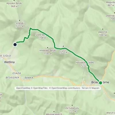 ModerateOne-dayMarkedNature trail «Globeflower» on Połonina WetlińskaElevation profile735–1 248 m10.3 kmascent 611 m≈ 4 h walking
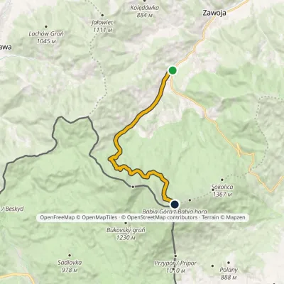 ModerateOne-dayMarkedZawoja Widły Babia Góravia Markowe SzczawinyElevation profile601–1 723 m12.5 kmascent 1 122 m≈ 5.5 h walking
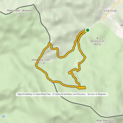 EasyOne-dayMarkedEducational Path "Echoes of the Primeval Carpathian Forest"Elevation profile747–1 109 m7.7 kmascent 376 m≈ 2.5 h walking
Craft nearby
All craft places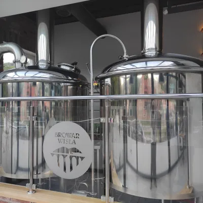 Craft beer & breweriesBrowar Wisła: craft brewpub in Wisła's old railway station7.5 km from the trailBrowar Wisła is a brewpub in the heart of the Silesian Beskids, in the spa town of Wisła, where Poland's longest river of the same name rises.
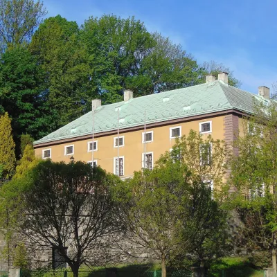 Craft beer & breweriesArchducal Castle Brewery, Cieszyn: 180 years of beer and rock cellars14 km from the trailThe Archducal Castle Brewery in Cieszyn (Arcyksiążęcy Browar Zamkowy Cieszyn) is one of the oldest working breweries in Poland and one of the most valuable monuments...
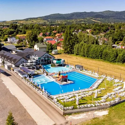 Water parks & thermal poolsAquapark Leśna (Żywiec)24 km from the trailAquapark Leśna (also called Aquapark Żywiec) is a swimming-pool complex in the village of Leśna, a few kilometres from Żywiec, in the Żywiec Basin, surrounded by the...
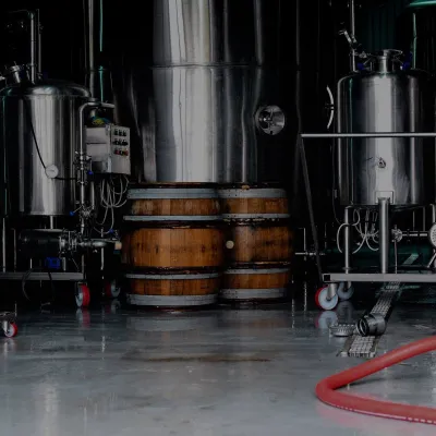 Craft beer & breweriesBrowar Zarzecze in the Żywiec Basin: craft brewery shopZarichchia25 km from the trailBrowar Zarzecze works in the village of Zarzecze near Pietrzykowice in the Żywiec Basin — a region where beer has been brewed since at least the 19th century and home...
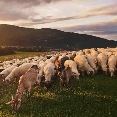 Cheese dairies & pasturesBacówka na Bukowinie, Żabnica: sheep's cheese and alpacas26 km from the trailBacówka na Bukowinie stands on a slope above the village of Żabnica, next to Węgierska Górka, where the Żywiec Beskids meet the Silesian Beskids.
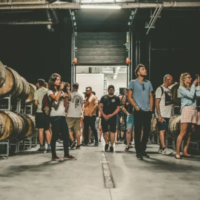 Craft beer & breweriesPINTA Brewery, Wieprz near Żywiec: tours and taproom27 km from the trailPINTA is the brewery that Poles associate with the start of the “beer revolution”; it calls itself the country's first craft brewery.
