Jarmuta
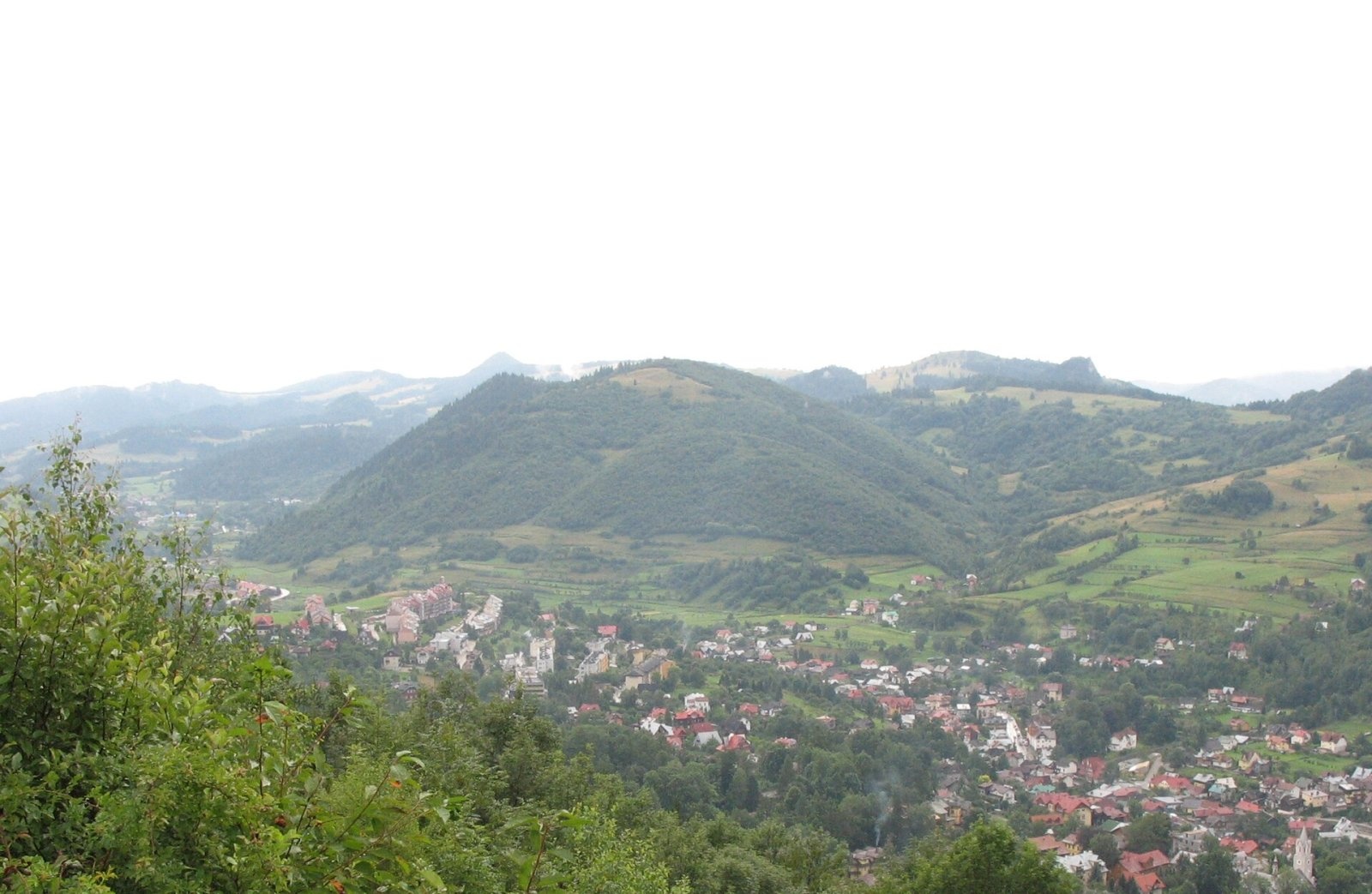
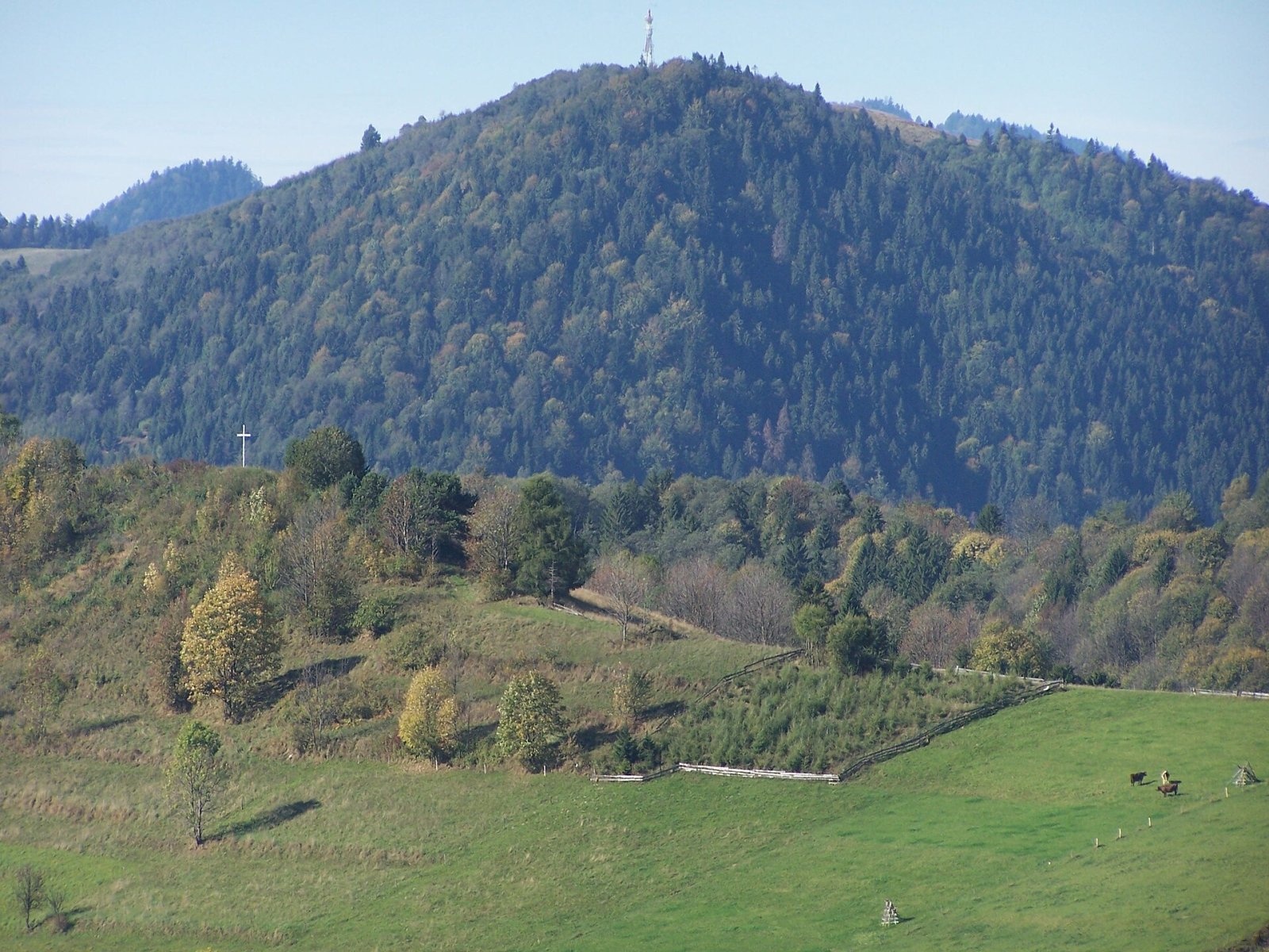
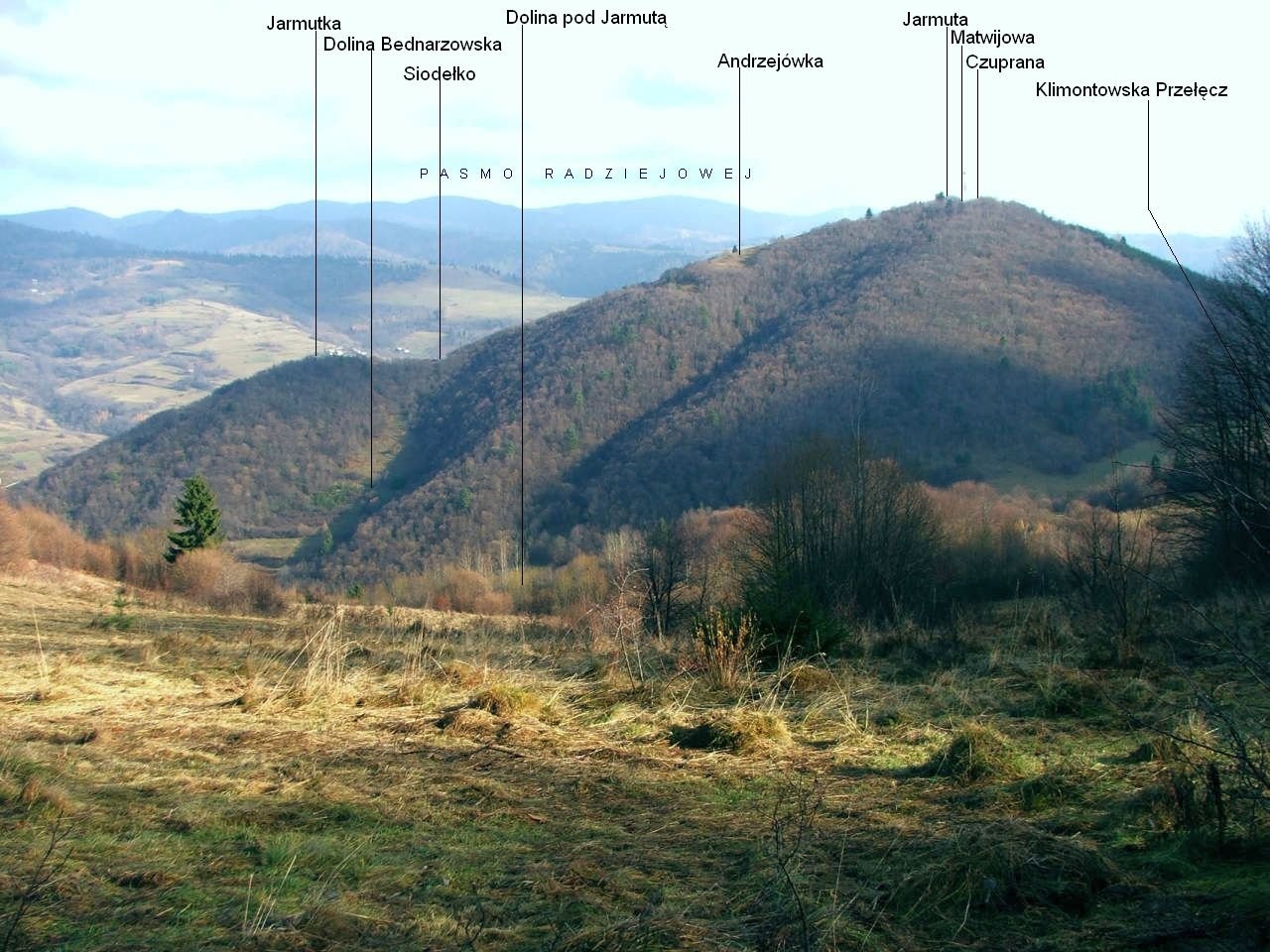
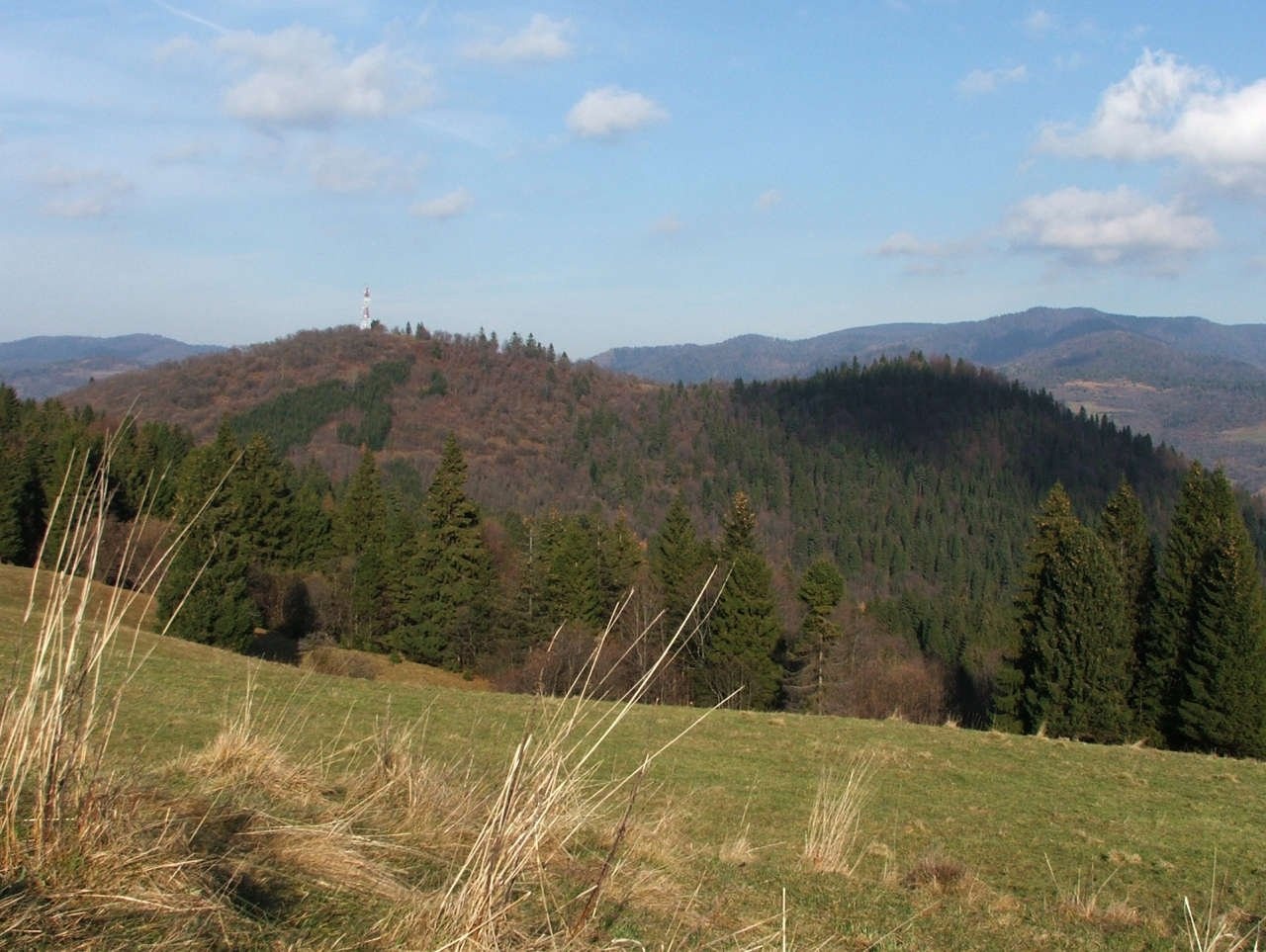
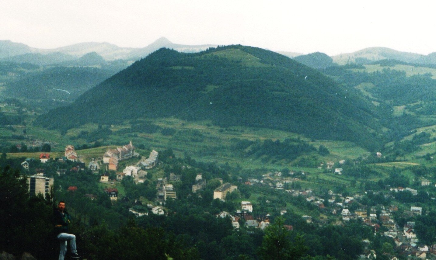
Jarmuta is a 794 m massif in the Small Pieniny in southern Poland, above the spa town of Szczawnica. It stands well apart from its neighbours and has two main summits: Jarmuta proper (794 m) and Czuprana (777 m), separated by the Matwijowa pass (763 m); a lower top, Jarmutka (690 m), rises to the north-west. The Klimontowska pass (696 m) separates Jarmuta from the main ridge of the Small Pieniny, and the nearest summit of that ridge, Cyrhla, is about 750 m away as the crow flies.
The hill lies in the Szczawnica municipality of Nowy Targ County (Lesser Poland), outside the Pieniny National Park. Its northern slopes fall to the Grajcarek valley, the south-western ones to the Klimontowski stream and the south-eastern ones to the Pałkowski stream. Szlachtowa is about 1.5 km away, central Szczawnica about 2.8 km.
How to get there / routes
No PTTK-marked tourist trail crosses Jarmuta. Forest roads and paths lead to the top; OpenStreetMap shows a local “Path to Jarmuta” maintained by a local association. The easiest approaches are from Szlachtowa or Szczawnica. There are no official walking times, so rely on a map and GPS. The marked trails of the main Small Pieniny ridge pass nearby but bypass Jarmuta.
What you can see from the summit
The massif is almost entirely forested, but the summit and the northern slopes just below it are occupied by the Andrzejówka glade. It offers a good view, especially of the Radziejowa range in the Sądecki Beskid, and is used by paragliders. A TV relay transmitter has stood on the summit since 1963.
Nature and history
The western slopes are covered mostly by Carpathian beech forest with some pine, while spruce dominates on the eastern and northern sides. Near the Klimontowska pass a belt of spruce planted on a burnt area reaches almost to the summit. The massif belongs to the Pieniny Klippen Belt: Jurassic and Cretaceous shales, limestones and radiolarites, plus Upper Cretaceous sandstones, conglomerates and shales of the so-called Jarmuta Formation. Of special interest are Miocene Pieniny andesites forming sills; they were quarried at Malinów on the northern slopes of Czuprana until the 1970s.
Jarmuta has a mining past. Prospecting for gold and silver in the area is recorded from the 15th century, but the key period was the 18th. In 1732 Prince Paweł Karol Sanguszko, owner of the Szlachtowa estate, founded a mining and smelting company that was closed in 1736; Andrzej Bittener later revived the work, but a failed smelt in 1739 ended the venture. Ore was mined in three adits. The best preserved, the “Bania w Jarmucie” on the eastern slopes, has two galleries 67 m and 35 m long linked by a vertical shaft. Because of its bats it was protected in 1997 as an ecological site and is closed to visitors. Another adit, the “Wodna Bania”, is partly flooded and dangerous.
Legend says a pagan shrine once stood on the summit and that the name comes from an old deity. Before the Second World War there was a ski jump on the northern slopes. In May 2010 a flood triggered a landslide on the hillside.
Safety, season and rules
Jarmuta is a low wooded hill accessible almost all year, but without waymarks it is easy to lose your way among forest roads, so carry an offline map. Do not enter the old adits – they are protected, partly flooded and dangerous. After heavy rain the slopes can be prone to slides and the paths slippery. In winter snow lies on the glades, so wear suitable footwear.
The Pieniny are covered by the Podhale group of the mountain rescue service GOPR (station in Szczawnica): call 985 or +48 601 100 300, or 112; installing the «Ratunek» app is recommended.
Interesting facts
- In the 18th century gold and silver were sought on Jarmuta; the ore was to be smelted in Szlachtowa, but the smelt of 1739 failed.
- The “Bania w Jarmucie” adit is protected as a bat roost.
- The relay transmitter on the summit has operated since 1963.
Photos: real name: Mariusz Rzepkowski pl.wiki: MariuszR commons: MariuszR, CC BY-SA 2.5; Jerzy Opioła, CC BY-SA 4.0; Jerzy Opioła, CC BY-SA 4.0; Jerzy Opioła, CC BY-SA 3.0; MOs810, CC BY-SA 4.0 — Wikimedia Commons.
Getting there from Ukraine
Border crossings
- Krakovets – Korczowa — road, 24/7
- Shehyni – Medyka — road, 24/7 Pedestrian crossing is not confirmed by the Ukrainian border service — check dpsu.gov.ua before the trip.
- Smilnytsia – Krościenko — road, 24/7
- Hrushiv – Budomierz — road, 24/7
- Mostyska – Przemyśl (rail) — rail, 24/7
By car
Lviv – Szczawnica ≈384 km, ≈5 h 25 min without queues: M-10 → Krakovets – Korczowa → A4 to Brzesko (≈198 km) → DK75 to Nowy Sącz → DW969 via Stary Sącz and Łącko to Krościenko nad Dunajcem → Szczawnica. ≈306 km, ≈4 h from the border.
Checked 23.10.2026; border crossing hours and timetables change — check before you travel.
Location on the map
Water and shelter nearby
- Hut below Cyrhle740 m · Not verified · 734 m
- Spring below Wysoki Wierch (north slope)1.9 km · Not verified · 821 m
- Spring below Wysoki Wierch (north-east slope)1.9 km · Not verified · 830 m
- Bacówka Shelter, 821 m1.9 km · Not verified · 821 m
- Drinking water below Niżny Groń2.3 km · Has water · 475 m
- Magdalena Mineral Spring2.4 km · Not verified · 519 m
- Drinking water below Bryjarka2.4 km · Not verified · 526 m
- Waleryi Mineral Spring2.4 km · Not verified · 526 m
- Szymon Tap2.6 km · Not verified · 460 m
- Wanda Spring, 497 m3 km · Not verified · 497 m
Comments
Trails nearby
All trails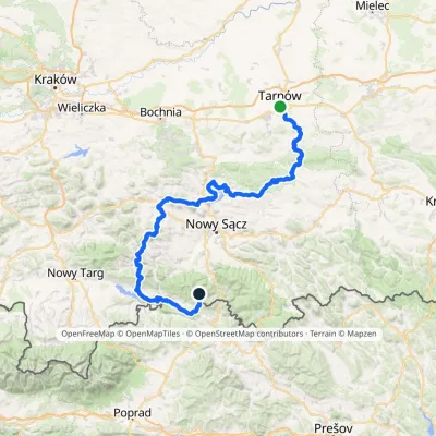 HardMulti-dayMarkedTarnów Wielki RogaczElevation profile206–1 211 m191.5 kmascent 6 941 munder 1 km from Jarmuta
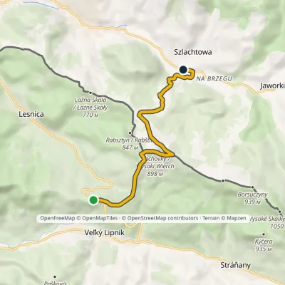 EasyOne-dayMarkedLesnické Saddle SzlachtowaElevation profile519–898 m6.8 kmascent 224 m≈ 2 h walkingunder 1 km from Jarmuta
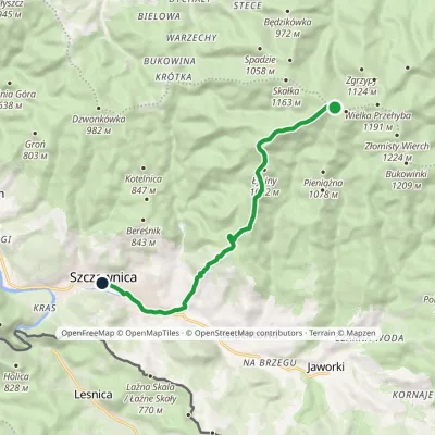 EasyOne-dayMarkedPrzehyba Szczawnica ZdrójElevation profile461–1 153 m10.2 kmascent 64 m≈ 2.5 h walking1.1 km from Jarmuta
Nearby attractions
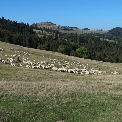 PeakWysoki Wierchaltitude 898 m2.1 km from JarmutaWysoki Wierch (Slovak Šľachovky or Šlachtovský vrch) is an 898 m dome-shaped summit in the Small Pieniny, right on the Polish–Slovak border.
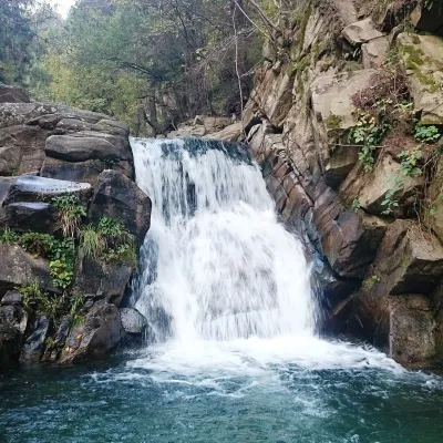 WaterfallZaskalnik Falls2.9 km from JarmutaZaskalnik is a small but very picturesque waterfall on the Sopotnicki stream (Sopotnicki Potok) near the spa town of Szczawnica.
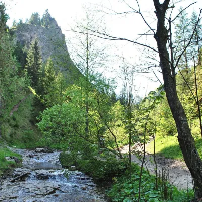 NatureHomole Gorge3.3 km from JarmutaThe Homole Gorge (Wąwóz Homole) is one of the most beautiful rocky gorges in Poland. It lies in the Little Pieniny, in the Lemko village of Jaworki near Szczawnica.
Craft nearby
All craft places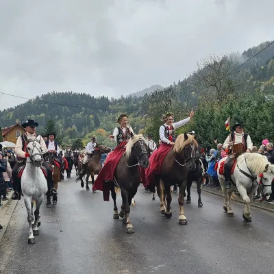 Markets & fairsAutumn Redyk in Szczawnica: sheep drive, oscypek and shepherds3.6 km from JarmutaRedyk is an old Carpathian shepherding custom: in spring the flocks are driven up to the mountain pastures (hale), and in autumn, after the cheese-making season, they...
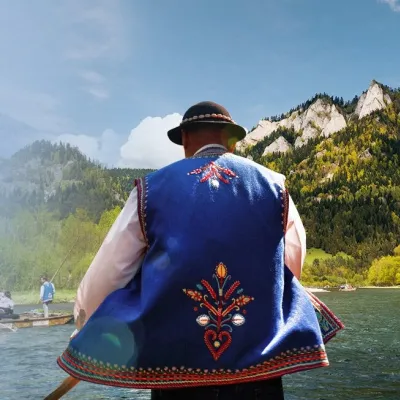 Ethno tours & guidesGoral raftsmen of Červený Kláštor: wooden-raft trip on the Dunajec6.8 km from JarmutaBetween Červený Kláštor and Lesnica the Dunajec cuts a deep, winding gorge through the limestone Pieniny, and here the river becomes the border between Slovakia and...
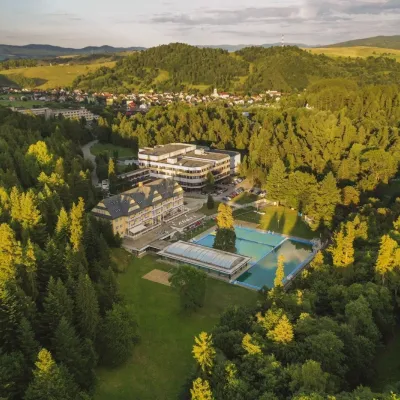 Water parks & thermal poolsVyšné Ružbachy Spa: Izabela Mountain Pools and Indoor Thermal Pool12 km from JarmutaVyšné Ružbachy is one of Slovakia’s oldest spas. It lies on the south-eastern slope of the Spišská Magura at about 617 m, surrounded by coniferous forest that merges...
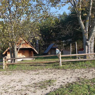 Cheese dairies & pasturesMajerz Meadow Shepherd's Hut, Pieniny National Park: oscypek and żętyca13 km from JarmutaMajerz meadow (hala) sits on a 689 m hill between Czorsztyn-Nadzamcze and the village of Hałuszowa, above Lake Czorsztyn.
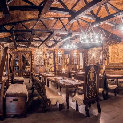 Craft producersNestville Distillery, Hniezdne — Home of the First Slovak Whisky16 km from JarmutaThis tradition is the basis for BGV, a company founded in 2001, which built the Nestville Distillery here.
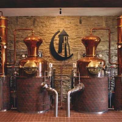 Craft producersCastle Distillery below Ľubovňa Castle: fruit spirits and tastings17 km from JarmutaStará Ľubovňa is a town in northern Spiš, overlooked by Ľubovňa Castle. For more than three and a half centuries Ľubovňa was one of the Spiš towns pledged to the...
