Polonyna Skopeska
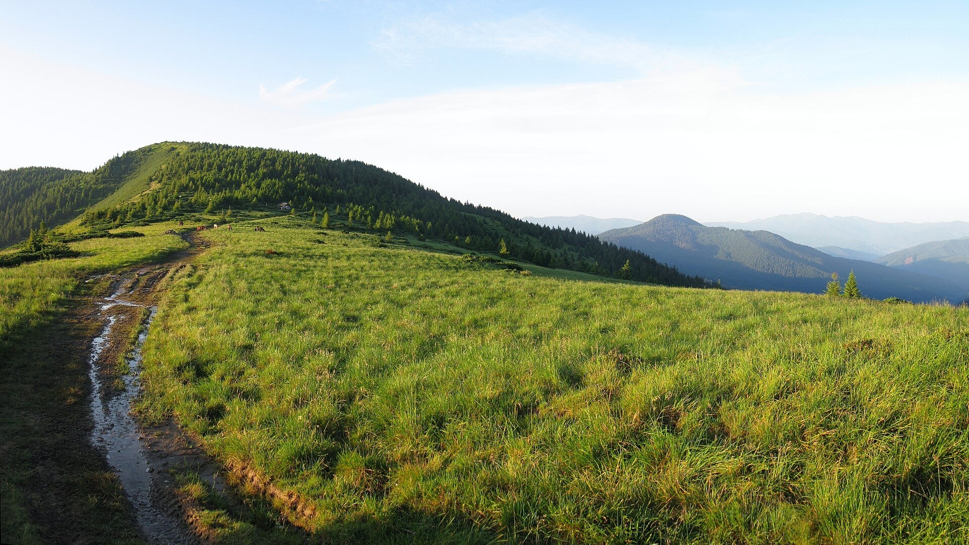
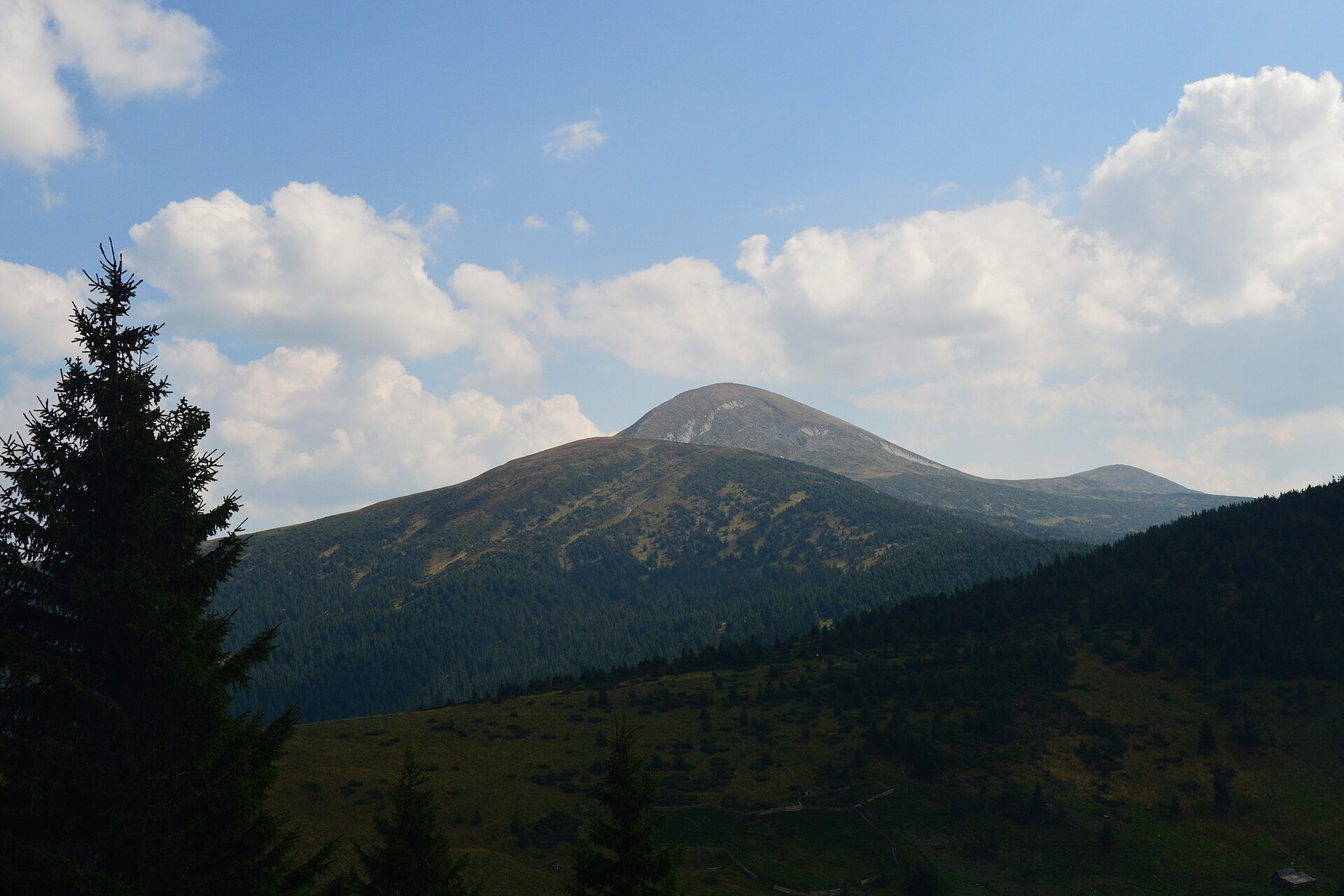
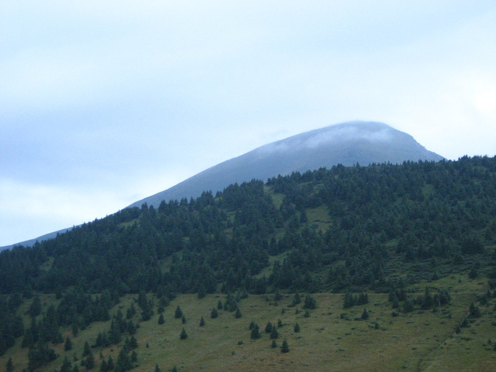
Skopeska Polonyna (also "Skopieska" on maps) is a saddle ridge between Petros and Hoverla in the central part of the Chornohora range, Rakhiv district, Zakarpattia. Its average height is about 1,518 m, with the open sections at roughly 1,390–1,540 m. The polonyna runs from the north-west, from Petros, to the south-east, towards Hoverla, and consists of several narrow saddles and three low, partly forested tops.
This is not a polonyna people visit for cheese and cows: Skopeska is the link between the two best-known peaks of the Ukrainian Carpathians. The red-marked Hoverla – Petros traverse runs along it, and nearby on the saddle stand a shelter and a Carpathian Biosphere Reserve post. So it is where people come who want to climb both Hoverla and Petros in one or two days.
What you will see
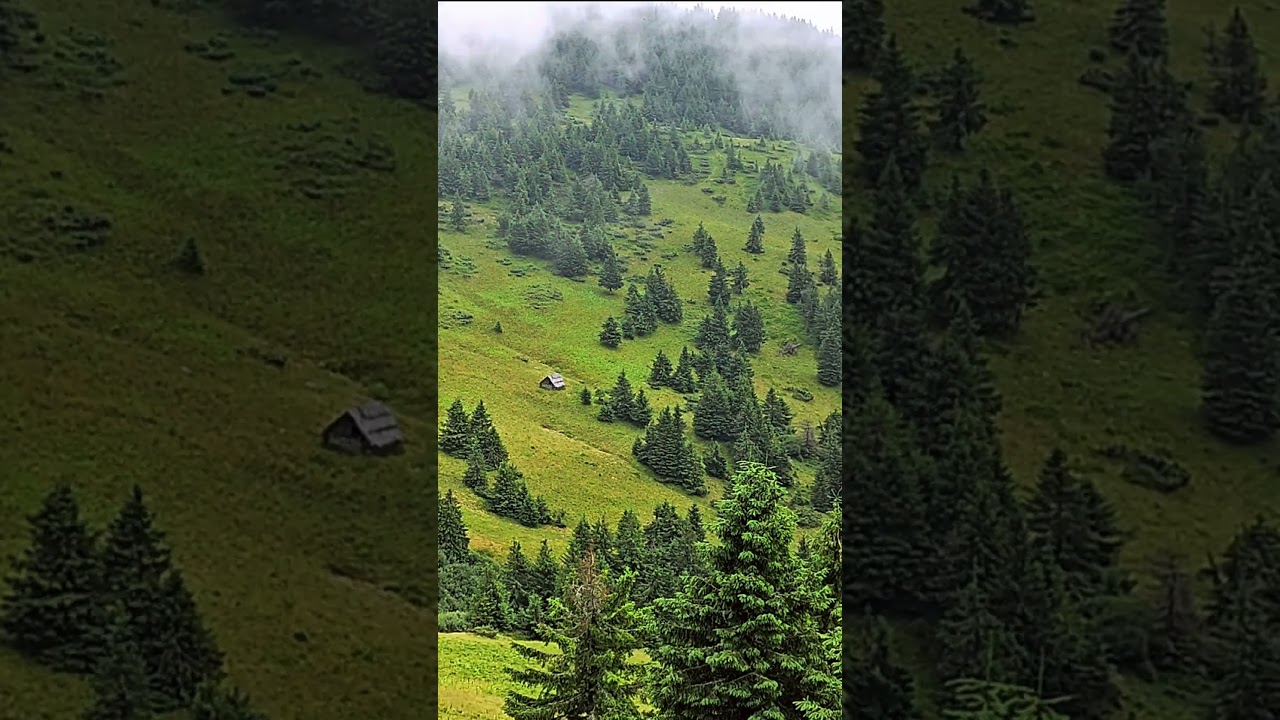
On one side Hoverla, snow-white in spring, towers over the saddle; on the other rises the sharp pyramid of Petros. To the south the Marmarosh range and the mountains of Romania open up, to the west the valleys towards Luhy and Bohdan. The north-eastern slopes are covered mainly with fir forest, the south-western ones with fir and beech; between them are grassy clearings with scattered spruces where tents stand in summer. In winter the saddle becomes a snowy plateau, and this is where some of the best winter views of Hoverla open up.
Shepherds, huts and cheese
We found no information on present-day grazing on Skopeska itself: it is more a wooded-meadow saddle than a pasture. The nearest places where livestock traditionally grazes in summer are Holovcheska Polonyna below Petros and Rohnieska Polonyna. If you meet a flock or shepherds on the way, greet them and walk around the animals.
History and legends
Between the wars the Polish–Czechoslovak border ran along the main Chornohora ridge from Hoverla; Petros, Petrosul and the saddle between them lay on the Czechoslovak side. Polish maps of the 1930s labelled Petros "Pietros", even though both peaks were across the border. The name Petros is commonly explained as coming from the Greek "petros", "rock, stone", via Vlach dialects. A chapel stands on the saddle next to the reserve post.
Routes
- Hoverla – reserve shelter – Skopeska Polonyna – Holovcheska Polonyna – Petros on the red waymarks: about 4 hours.
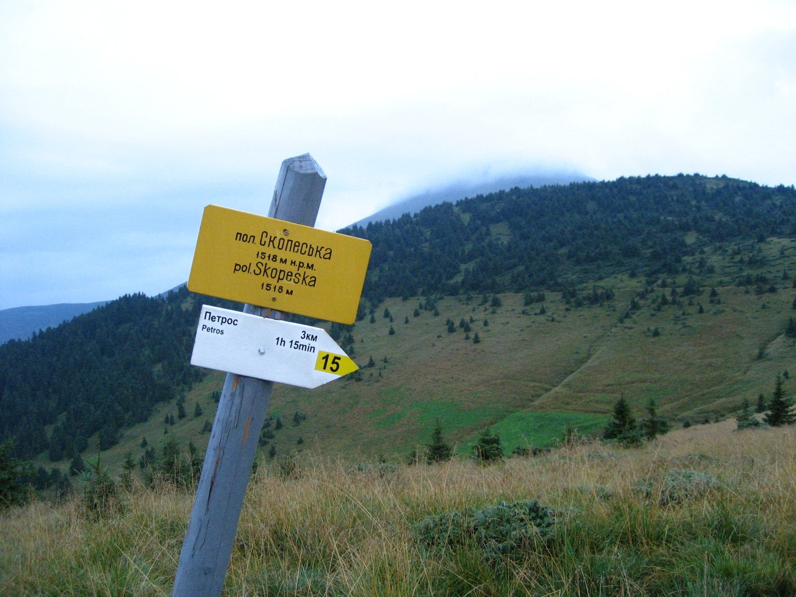
- From the checkpoint building on the saddle via the Skopieska area to Petros: the shortest path, a 3–4-hour climb. The signpost on the polonyna itself (1,518 m) gives 3 km and about 1 h 15 min to Petros.
- From Lazeshchyna via Kozmeshchyk: a stony forest road of about 8 km to the saddle, waymarks weak in places; then on to Petros or Hoverla.
- From the village of Hoverla (Rakhiv district) via the Kliauza area to the checkpoint on the saddle; from the Bohdan side via Rohnieska Polonyna (a two-day option).
- Our tracks: Kozmeshchyk – Petros – Hoverla – Kozmeshchyk, from Kvasy over Petros and Hoverla to Lazeshchyna, from Hoverla village over Turkul, Hoverla and Petros to Yasinia, from Lazeshchyna via Kozmeshchyk to Hoverla.
The saddle itself is technically easy, but getting there takes a long climb. The easiest option for those who don't do big hikes is to ride an off-road vehicle from Kozmeshchyk closer to the foot of the mountains and walk the short section to the saddle.
Getting there
Most people reach Skopeska by traversing the Chornohora ridge between Hoverla and Petros. From below, take the dirt road from Lazeshchyna (on the Yasinia – Vorokhta road) to the Kozmeshchyk area; according to hikers, in dry weather even an ordinary car gets there, and an entry fee is charged at the barrier. From there local drivers take tourists in off-road vehicles right up to the foot of the mountains. Another start is Hoverla village via Kliauza. Lazeshchyna and Yasinia can be reached by bus, or by train to Yasinia station.
When to go and weather
The season is May to October; in spring snow lingers above the tree line for a long time, and fresh snow can fall in October. Fog and thunderstorms are common in Chornohora, especially in the afternoon. In bad weather hikers advise skipping the summit of Hoverla and taking the traverse path around it to the saddle.
Water, shelters and overnight
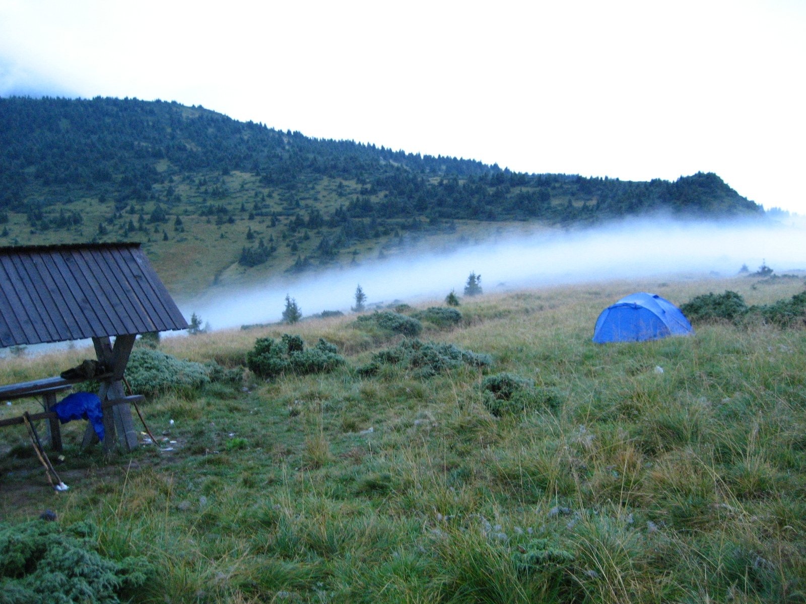
On the saddle there is a shelter where you can spend the night, especially in bad weather when pitching a tent is awkward, and dry your things by the wardens' fire. The spring is to the right of the road towards Luhy. Nearby are a hut, a refuge, a spring, a spring below Petros, the "Carpathian Highlands Information and Tourist Centre" shelter and the "Peremychka Ecological Point" hut. The nearest accommodation is in Lazeshchyna, Yasinia and Hoverla village.
Safety
- This is Carpathian Biosphere Reserve territory: entry is paid and reserve rules apply; stay on marked trails.
- Fog and thunderstorms are dangerous on the saddle; in bad weather it is better to wait it out in the shelter.
- In winter the slopes of Petros are prone to avalanches, and it is easy to get lost on the snowy saddle.
- This is a border area: border guards check documents (passport, and for men a military registration document); check the current requirements of the State Border Guard Service before your hike.
- Do not leave belongings unattended by your tent.
- In an emergency call 112 or 101 (State Emergency Service, mountain search and rescue); for medical help call 103.
What visitors say
- A fit hiker covers the Petros – Hoverla traverse over the saddle in a few hours, and from Kozmeshchyk you can do a loop over both peaks in one day.
- The shelter on the saddle is a lifesaver in bad weather: you can warm up, cook and dry out.
- The forest road from Kozmeshchyk to the saddle is easy, but the waymarks are weak, so check your navigation app.
- The summit of Hoverla is described as trampled and crowded, so the quiet saddle with a view of it is a pleasant contrast.
- From here Hoverla and Petros are "in the palm of your hand"; the best photos come on a clear morning.
Polonynas and peaks around
- Mount Hoverla: Ukraine's highest peak (2,061 m), at the south-eastern end of the saddle.
- Mount Petros: 2,020 m, at the north-western end.
- Mount Petrosul: the northern shoulder of Petros.
- Holovcheska Polonyna: the next polonyna on the way to Petros, a popular camping spot.
- Rohnieska Polonyna: a large pasture on the south-western slopes of Petros.
- Maryshevska Polonyna: on the other side of Hoverla, in Prykarpattia.
- Mount Breskul and Pozhyzhevska Polonyna: further east along the main ridge.
- Lake Nesamovyte: the "heart of Chornohora" below Turkul.
Photos: Wisetus, CC BY-SA 4.0, Wikimedia Commons; Yur dmytruk, CC BY-SA 4.0, Wikimedia Commons; MSha, Public domain, Wikimedia Commons; Андрій Угрин, CC BY-SA 4.0, Wikimedia Commons.
Video 2
 Мальовнича полонина СкопеськаКислий

Location on the map
Water and shelter nearby
- Hut (Luhy)70 m · Not verified · 1 470 m
- Spring (Luhy)230 m · Not verified · 1 523 m
- Spring below Mount Petros (11)290 m · Not verified · 1 536 m
- Spring below Mount Petros (10)360 m · Not verified · 1 544 m
- Spring below Mount Petros (9)890 m · Not verified · 1 544 m
- Spring below Mount Petros (8)930 m · Not verified · 1 540 m
- Spring (Luhy, 2)1.1 km · Not verified · 1 540 m
- Spring below Mount Petros (6)1.1 km · Not verified · 1 544 m
- Spring below Mount Hoverla1.1 km · Not verified · 1 535 m
- Eco point “Peremychka” (hut)1.1 km · Standing · 1 536 m
- “Carpathian Highlands” information and tourist centre (shelter)1.2 km · Standing · 1 534 m
- Hut below Mount Petros1.5 km · Not verified · 1 429 m
- Spring below Mount Petros (4)1.6 km · Not verified · 1 544 m
- Spring below Mount Hoverla (2)1.6 km · Not verified · 1 577 m
- Spring below Mount Petros (3)1.6 km · Not verified · 1 529 m
- Spring below Mount Petros (7)1.6 km · Not verified · 1 394 m
Comments
Places to stay nearby
All stays HotelTraining and Sports Base "Zaroslyak" at HoverlaVorokhta6.3 km from Polonyna SkopeskaPoolSaunaParkingNearby: Polonyna Pozhizhevska 1.2 kmMt Hoverla 2.8 km32 trails
 CottageCottage "Ozernyi" LazeshchynaLazeshchyna11 km from Polonyna SkopeskaSaunaBBQKitchenNearby: Church of the Transfiguration 3.3 kmMt Petrosul 8.4 km32 trails
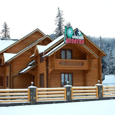 HotelHotel "Desyatka" Vorokhta (near Hoverlyansky Checkpoint)Vorokhta12 km from Polonyna SkopeskaPoolSaunaBreakfastNearby: Mt Kukul 3.6 kmPolonyna Kukul 4.0 km5 trails
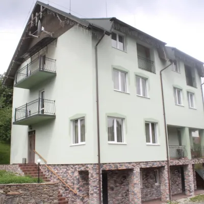 HotelHotel "Perelaz" LazeshchynaLazeshchyna12 km from Polonyna SkopeskaSaunaBBQParkingNearby: Church of the Transfiguration 1.8 kmStrukivska Church 4.2 km40 trails
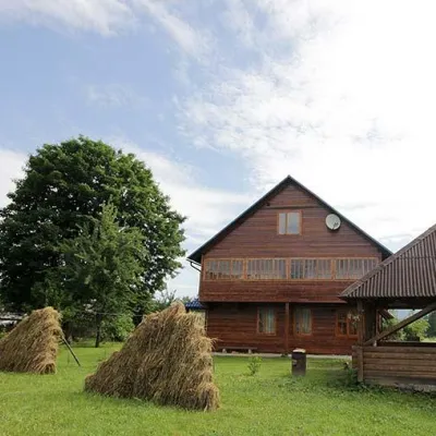 HomesteadHomestead "PID YAVOROM" Vorokhta (Tenth Kilometer)Vorokhta12 km from Polonyna SkopeskaSaunaBBQKitchenNearby: Mt Kukul 3.7 kmPolonyna Kukul 4.1 km5 trails
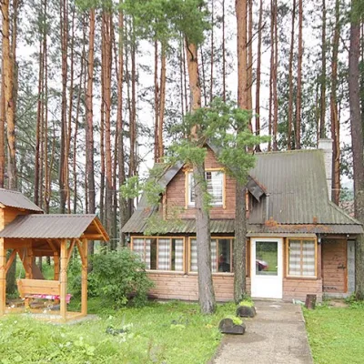 HomesteadHomestead "Sosnovyi Dvir" Vorokhta (Tenth Kilometer)Vorokhta12 km from Polonyna SkopeskaSaunaBBQKitchenNearby: Mt Kukul 3.7 kmPolonyna Kukul 4.1 km5 trails
Trails nearby
All trails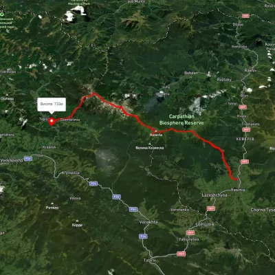 HardMulti-dayUnmarkedYasinia to Dzembronia villagevia Mount Petros, Mount Hoverla +2Elevation profile659–2 040 m47.1 kmascent 2 873 munder 1 km from Polonyna Skopeska
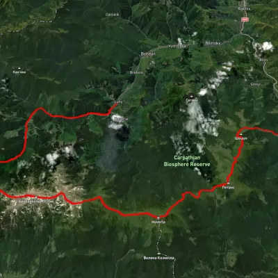 HardMulti-dayUnmarkedLuhy village to Kvasy villagevia Mount Pip Ivan Chornohirskyi, Mount Hoverla +2Elevation profile532–2 036 m59.8 kmascent 3 454 munder 1 km from Polonyna Skopeska
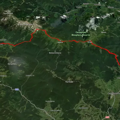 HardMulti-dayUnmarkedBystrets village to Yasiniavia Mount Shpytsi, Mount Hoverla +1Elevation profile650–2 030 m38.9 kmascent 2 192 munder 1 km from Polonyna Skopeska
Nearby attractions
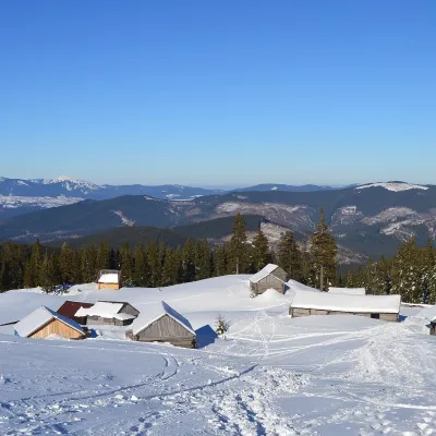 Mountain meadowPolonyna HolovcheskaLazeshchynaaltitude 1 420 m · Chornohora range1.8 km from Polonyna SkopeskaHolovcheska Polonyna is a mountain pasture on the north-eastern slopes of Petros in the Chornohora range, Rakhiv district, Zakarpattia.
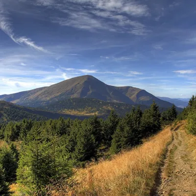 PeakMount PetrosYasinyaaltitude 2 020 m · Chornohora range2.5 km from Polonyna Skopeska92 trails to the topMount Petros is the fourth highest (2020 m) peak of the Ukrainian Carpathians after Hoverla (2061), Brebeneskul (2035 m) and Pop Ivan Chornohirsky (2028 m).
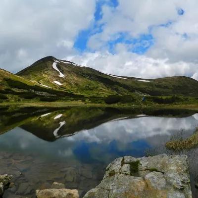 LakeHigh-mountainous Lake Nesamovite (1750 m.a.s.l., Chornohora ridge)Vorokhta7.8 km from Polonyna SkopeskaNesamovyte is one of the highest lakes in the Ukrainian Carpathians (1750 m above sea level). It is located within the Nadvirna district of Ivano-Frankivsk region.
Craft nearby
All craft places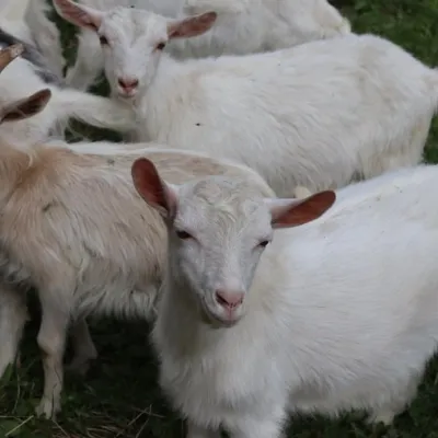 Eco farmsRozental Eco-Farm and Cheese Dairy, KvasyKvasy12 km from Polonyna SkopeskaBeer and cider are brewed here, sheep's-milk ice cream is made, and in the Vaskul area above the village sits the Rozental eco-farm and cheese dairy.
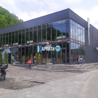 Craft beer & breweriesTsypa Brewery, KvasyKvasy13 km from Polonyna SkopeskaThe Tsypa Hutsul craft brewery in Kvasy is probably the best-known brewery in the Ukrainian Carpathians.
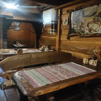 Koliby & Hutsul cuisineU Rizbaria Café, YasiniaYasinya14 km from Polonyna SkopeskaU Rizbaria Café (“At the Woodcarver’s”) in Yasinia is a small Hutsul place serving home cooking that travellers usually find by word of mouth.
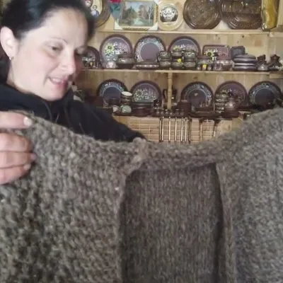 Markets & fairsSouvenir Market on the Yablunytsia Pass, YablunytsiaYablunytsia16 km from Polonyna SkopeskaThe souvenir market on the Yablunytsia Pass is one of the best-known roadside bazaars in the Carpathians.
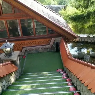 Koliby & Hutsul cuisineStara Vorokhta Restaurant, VorokhtaVorokhta16 km from Polonyna SkopeskaStara Vorokhta restaurant ("Old Vorokhta") is one of the best-known places for Hutsul food in Vorokhta: on Google Maps it is rated 4.6 from more than 6,300 reviews, a...
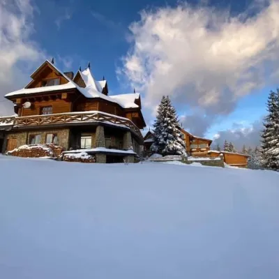 Koliby & Hutsul cuisineVysokyi Pereval Koliba, YablunytsiaYablunytsia16 km from Polonyna SkopeskaVysokyi Pereval Koliba ("High Pass") stands in Yablunytsia, on the new road to Bukovel, in the Horishkiv area.
