Mount Mutna
Mutna is a 1,260 m summit on the Zelemianka ridge in the Skole Beskids, Lviv Oblast. It lies about 1.3 km south-east of Lopata (1,211 m) and is noticeably higher. The nearest villages are Kamianka (about 4.9 km), Hrebeniv (about 5.6 km) and Sukil (about 6.2 km); Skole is about 7.6 km away.
Other summits of the ridge stand close by: Benky (1,233 m) rises about 1.4 km to the east, Nabyvky (1,265 m) about 1.7 km to the south-east, and Kudriavets (1,242 m) about 1.7 km to the north-west. The slopes are covered with spruce and beech forest; between the mountain and Kamianka, south of the village, lies the Dubynske protected forest.
How to get there
Our route Skole – Mount Lopata – Mount Khom – Kamianka – Kamianka Waterfall – Dubyna – Skole (31.4 km, about 1,280 m of ascent) crosses Mutna — a loop that links the summit with the Kamianka waterfall. Two more routes pass about 170 m from the top: Tukhlia – Mount Kindrat – Mount Matahiv – Mount Lopata – Mount Kudriavets – Skole (29.6 km) and Dubyna – Kamianka Waterfall – Mount Lopata – Mount Matahiv – Tukhlia (38.8 km). The shortest approach to neighbouring Lopata, Skole – Mount Lopata – Skole (14.9 km), runs about 1.2 km from Mutna.
Water, shelter and safety
Our map shows the nearest spring below Lopata, about 1.1 km to the north-west at roughly 1,160 m, and two more about 1.8 km in the same direction. On the Sukil side, about 2.4–3 km to the south-east, there are two more springs at around 1,180–1,190 m. The condition of all of them is unknown. The nearest shelters are near Sukil (about 3.5 km) and Hrebeniv (about 3.6 km), and a hut near Tukhlia is about 3.8 km away. So count on your own water supply and plan to be down before dusk. The nearest summit with our forecast is Parashka, about 14 km away: weather on Parashka. In an emergency call 112 or 101 — contacts of the nearest units are on our mountain rescue page.
Comments
Places to stay nearby
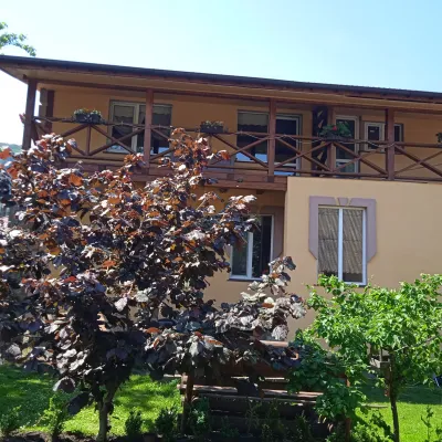 HomesteadFainy Hazdy7.5 km from Mount MutnaFireplaceKitchenParkingNearby: Kamianka waterfall 4.2 kmGredl Palace 1.8 km24 trails
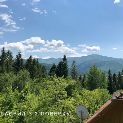 CottageCottage / Rooms in the Forest Area of Skole8.4 km from Mount MutnaBBQKitchenPetsNearby: Kamianka waterfall 3.5 kmLake Zhuravlyne 4.0 km24 trails
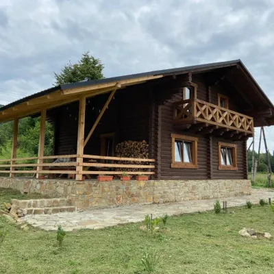 CottageCottage "Ksenija" Ksenija cottage9.5 km from Mount MutnaHot tubBBQKitchenNearby: Kamianka waterfall 3.3 kmLake Zhuravlyne 3.4 km26 trails
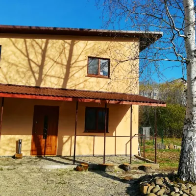 HomesteadGuest House "Pisnya Karpat" Dubyna9.8 km from Mount MutnaBBQKitchenParkingNearby: Kamianka waterfall 3.5 kmLake Zhuravlyne 3.5 km25 trails
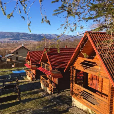 CottageEco-Cottages "Beskydy"16 km from Mount MutnaPoolKitchenPetsNearby: Church of St. George 2.0 kmKamianka waterfall 9.6 km
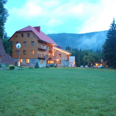 HotelFamily Homestead "Try Braty" Grebeniv5.2 km from Mount MutnaPoolSaunaFireplaceNearby: Mt Lopata 5.3 kmTomb of Prince Sviatoslav 4.5 km4 trails
Trails nearby
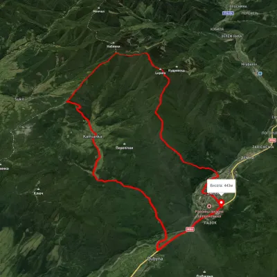 HardMulti-dayUnmarkedSkole loopvia Mount Lopata, Mount Khom +3Elevation profile420–1 248 m31.4 kmascent 1 276 m≈ 10.5 h walkingunder 1 km from Mount Mutna
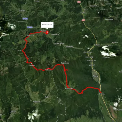 HardMulti-dayUnmarkedDubyna village to Tukhlia villagevia Kamianka Waterfall, Mount Lopata +1Elevation profile390–1 220 m38.8 kmascent 1 698 m≈ 13 h walkingunder 1 km from Mount Mutna
 HardMulti-dayUnmarkedTukhlia village to Skolevia Mount Kindrat, Mount Matahiv +2Elevation profile440–1 248 m29.6 kmascent 1 769 m≈ 11 h walkingunder 1 km from Mount Mutna
Nearby attractions
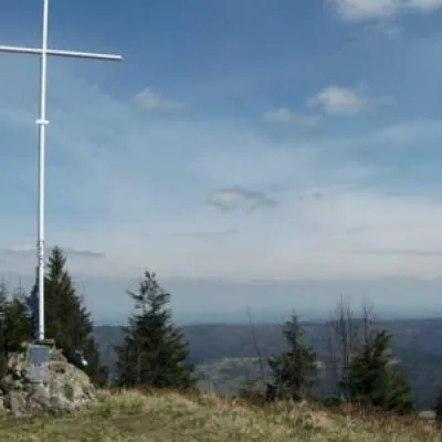 PeakMount Lopataaltitude 1 211 m1.3 km from Mount Mutna13 trails to the topThe mountain is located on the Zelemyanka ridge at a distance of 8 km south of the town of Skole. The peak is 1211 meters above sea level.
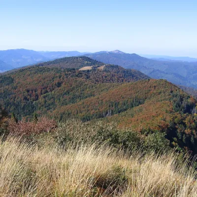 PeakMount Kudriavetsaltitude 1 242 m · Skole Beskids range1.7 km from Mount MutnaKudriavets is a 1,242 m summit on the Zelemianka ridge in the Skole Beskids, Lviv Oblast. About 750 m to the east stands the well-known Lopata (1,211 m), and the...
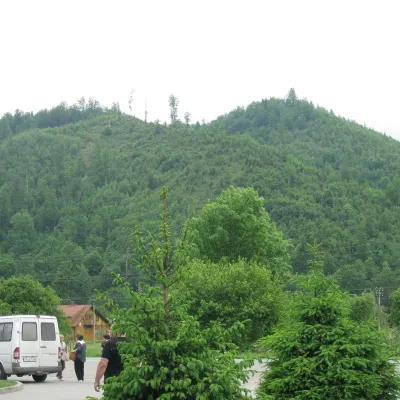 PeakMount Zeleminaltitude 1 177 m · Skole Beskids range4 km from Mount MutnaZelemin is a 1,177 m summit in the north-western part of the Zelemianka ridge in the Skole Beskids (Lviv Oblast).