Mount Svydova
Svydova is a 1,425 m mountain (some sources give 1,430 m) in the Svydovets massif. It stands on the Shasa ridge — the largest north-western spur of the main Svydovets ridge — in the north-east of the Tiachiv district of Zakarpattia Oblast. The nearest village is Lopukhiv, about 4 km away; Ust-Chorna is also nearby (about 7 km). To the south-east rises Berliaska (1,555 m), and to the north-west, across the Brusturianka valley, the Kedryn ridge, which already belongs to the Gorgany.
The slopes of Svydova are steep and forested at the foot, while the treeless summit with its large mountain meadows offers views over Svydovets and the Gorgany.
How to get there
Our route Yasinia – Mount Stih – Mount Troiaska – Mount Pidpula – Lopukhiv passes about 180 m from the summit; it is 40.3 km long with about 1,930 m of ascent. Svydova lies on its final stretch, so from Lopukhiv you can climb to the top and back in a day, while the whole crossing from Yasinia takes two or three days.
Water, shelter and safety
Our map marks a hut on Mount Svydova only about 70 m from the summit, but it is in ruins and not fit for an overnight stay. The «Syhlianska» forester's hut stands about 400 m from the top, and the hut on Mount Torhovytsia about 2.2 km away. The nearest spring is below Berliaska, about 2.5 km away, so carry water. Thunderstorms and sudden fog are dangerous on the open meadows of Svydovets, and in winter avalanches are possible on the treeless slopes. In an emergency call 112 or 101 — the mountain rescue units of Zakarpattia work around the clock.
Interesting facts
- The Shasa ridge, on which Svydova stands, is the largest north-western spur of the main Svydovets ridge.
- The Brusturianka valley below the mountain separates Svydovets from the Gorgany: the Kedryn ridge begins on its far side.
Comments
Travellers’ experience: reports, tips, questions.
No one has reported on this trail yet. Been here lately? Tell others what it is like now.
Water and shelter nearby
- Forester's hut “Syhlianska”410 m · Standing · 1 337 m
- Forester's hut at the Benyn polonynas2.2 km · Standing · 1 222 m
- Hut on Mount Torhovytsia2.2 km · Standing · 1 363 m
- Spring below Mount Berliaska2.5 km · Not verified · 1 150 m
- Forester's hut “Bystryk”2.6 km · Standing · 878 m
- Spring (Lopukhiv)3 km · Not verified · 832 m
Wildlife nearby
AllPlaces to stay nearby
All stays
Trails nearby
All trails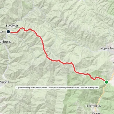 HardTwo-dayYasinia to Lopukhiv villagevia Mount Stih, Mount Troiaska +1Elevation profile577–1 762 m40.3 kmascent 1 923 m≈ 13.5 h walkingunder 1 km from Mount Svydova
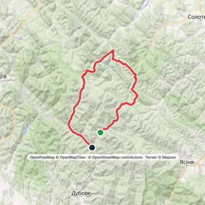 HardMulti-dayLopukhiv village to Ust-Chorna villagevia Legioniv Pass, Peklo tract +3Elevation profile521–1 836 m94.1 kmascent 3 034 m2.9 km from Mount Svydova
 ModerateOne-dayMount Berliaska to Lake Dohiaskavia Mount Unhariaska, Mount TroiaskaElevation profile1 451–1 762 m15.7 kmascent 596 m≈ 5 h walking3.9 km from Mount Svydova
Nearby attractions
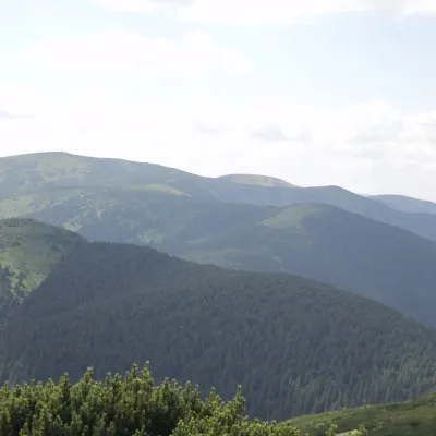 PeakBerlyaska MountainLopukhivaltitude 1 555 m · Svydovets range3.9 km from Mount SvydovaBerlyaska is a 1,555-meter peak of the Ukrainian Carpathians, which is located within the Svydovets mountain range (in its northwestern part).
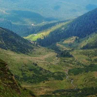 Mountain meadowPolonyna ApshynetsChorna Tysaaltitude 1 200 m · Svydovets range13 km from Mount SvydovaApshynets polonyna (Apshyniaska) is a pasture in the upper reaches of the Apshynets stream on the northern slopes of the main Svydovets ridge, in the Rakhiv district...
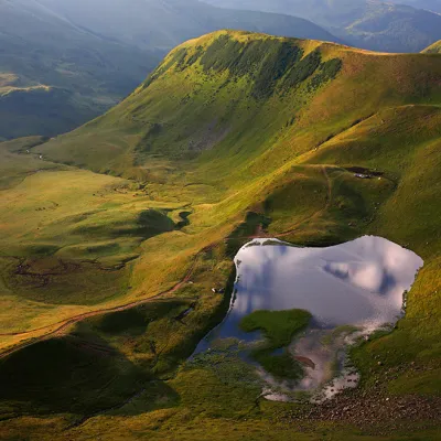 LakeLake Gereshaska (Dogyaska)Yasinya · Svydovets14 km from Mount Svydova1 577 m above sea levelarea 1.2 haup to 1.2 m deepGerashaska (another name - Dogyaska ) is a high-mountain lake in the Ukrainian Carpathians, within the Rakhiv district of Zakarpattia region.
Craft nearby
All craft places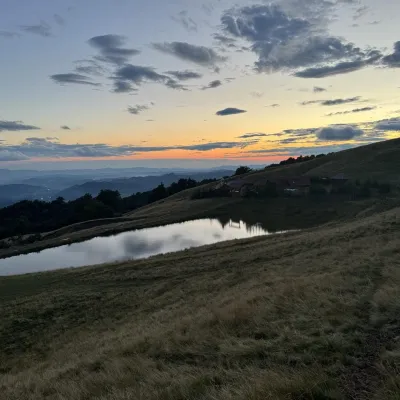 Cheese dairies & pasturesSheep's Cheese Masterclass on the Apetska Polonyna, VodytsiaVodytsia22 km from Mount SvydovaThe Apetska polonyna is a broad high-mountain pasture on the southern slopes of the Svydovets range, below Mount Apetska (1,512 m).
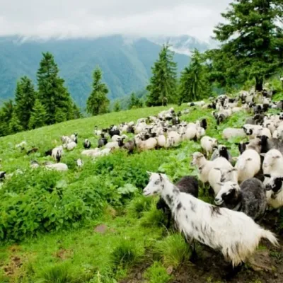 Cheese dairies & pasturesShepherding School on Mount Strymba, KolochavaKolochava25 km from Mount SvydovaThe Kolochava Shepherding School is not a building with classrooms but a summer shepherds' camp (salash) on the slopes of Mount Strymba (1,719 m), one of the highest...
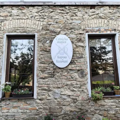 Koliby & Hutsul cuisineKorchma “Zhandarmska Uprava”, KolochavaKolochava26 km from Mount SvydovaKorchma “Zhandarmska Uprava” (“The Gendarmerie Station”) is a family-run tavern in the centre of Kolochava, one of the best-known tourist villages in Transcarpathia.
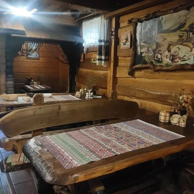 Koliby & Hutsul cuisineU Rizbaria Café, YasiniaYasinya27 km from Mount SvydovaU Rizbaria Café (“At the Woodcarver’s”) in Yasinia is a small Hutsul place serving home cooking that travellers usually find by word of mouth.
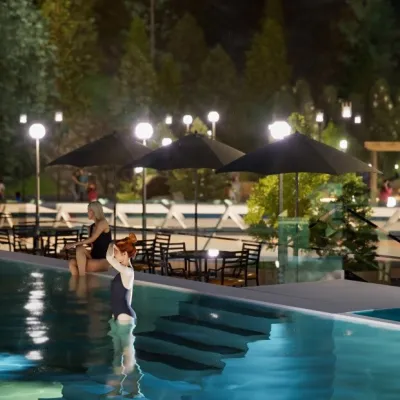 Water parks & thermal poolsMAVKA water park, BukovelPolianytsia (Bukovel)28 km from Mount SvydovaMAVKA water park is Bukovel's largest indoor water park and one of the most modern in Ukraine. It opened in early 2025 in the Shchyvky area, near Lake Molodosti and...
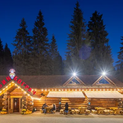 Koliby & Hutsul cuisineBabyn Bograch Tavern, Polianytsia (Bukovel)Polianytsia (Bukovel)28 km from Mount SvydovaBabyn Bograch tavern ("Grandma's Bograch") is located inside the Hutsul Land ethno park in Polianytsia, at the Bukovel resort, behind the Lake of Youth.
